
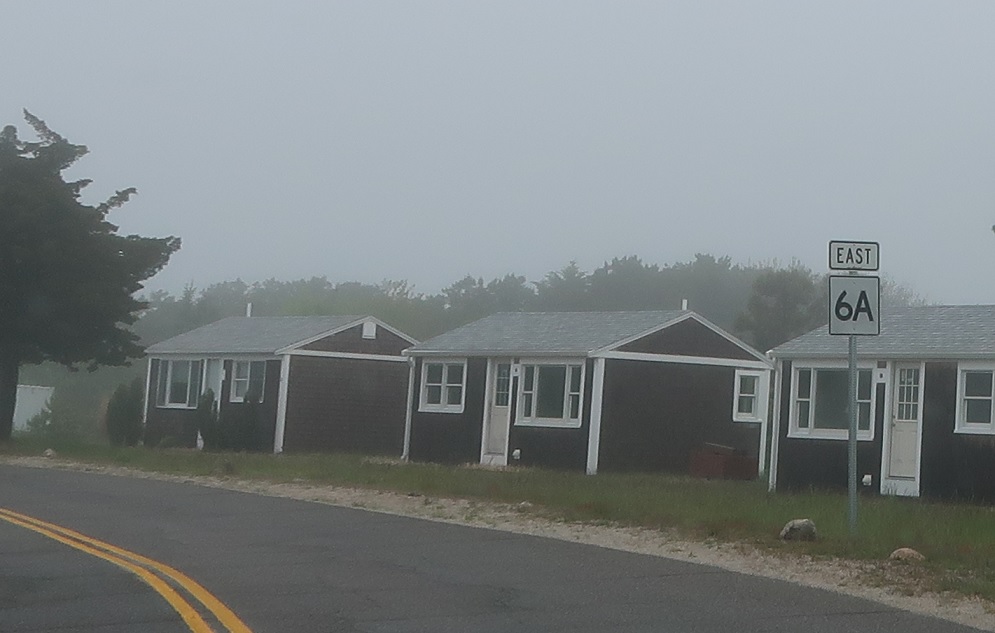
AMP: 53
Location: Shore Rd and US 6, North Truro, Truro
Reassurance shield as 6A splits from US 6.
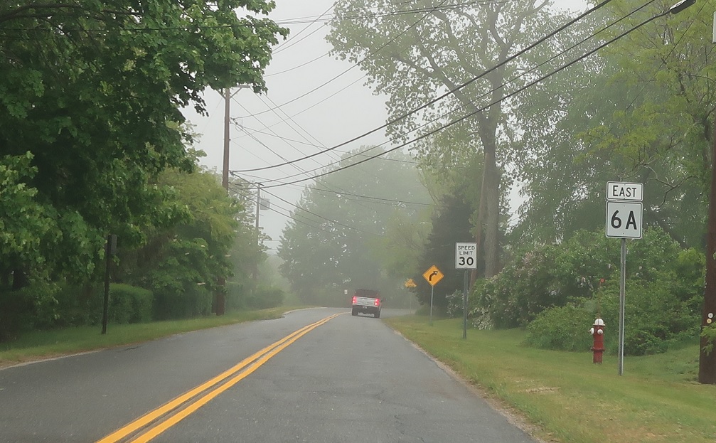
AMP: 54
Location: Shore Rd and Pond Rd, North Truro, Truro
Reassurance shield as we pass through downtown North Truro.
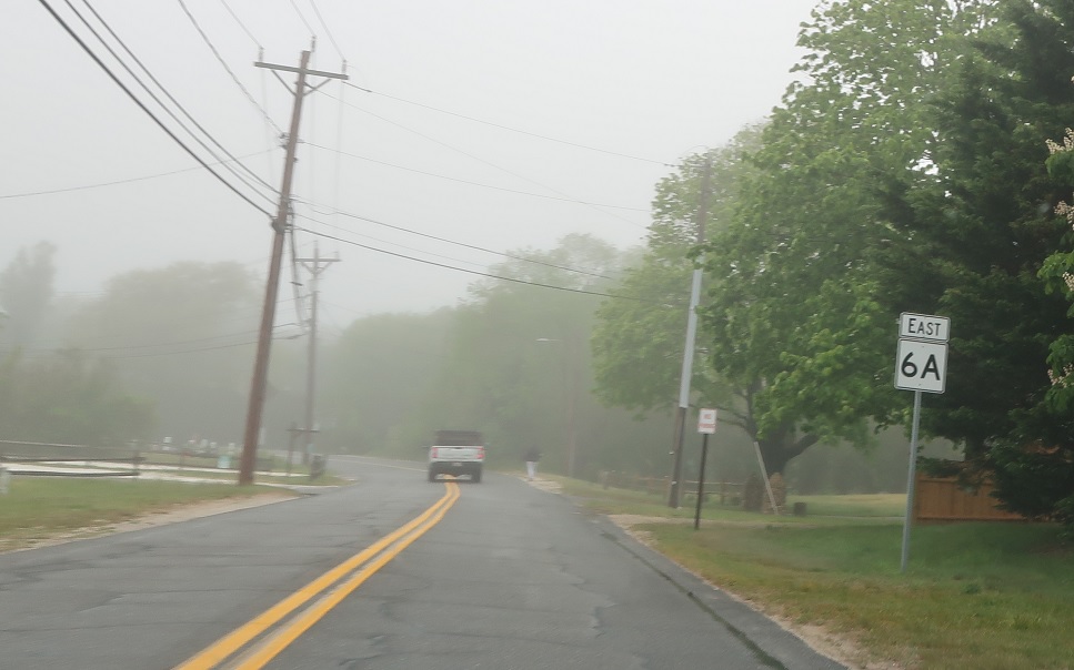
AMP: 55
Location: Shore Rd and Arrowhead Rd, North Truro, Truro
Reassurance shield as we bear left to head to the beach.
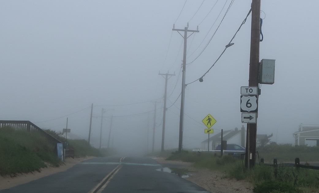
AMP: 56
Location: Shore Rd and Stotts Xing, North Truro, Truro
As we get along the beach, turn right to connect to US 6, which is just a couple hundred feet east of us. Stay straight to stay on 6A.
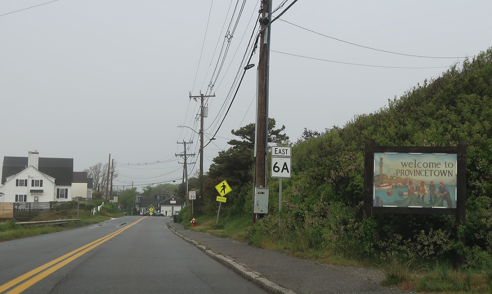
AMP: 58
Location: Commercial St and Roosevelt Rd, Provincetown
Soon thereafter, we’ll enter Provincetown and 6A’s street name changes to Commercial Street.
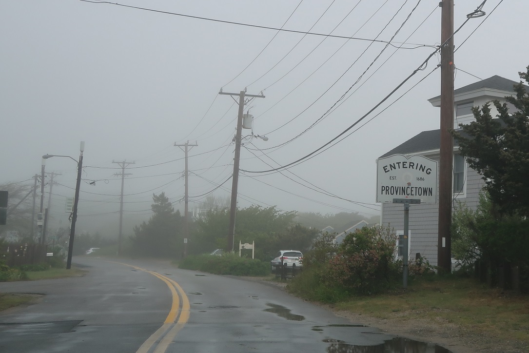
AMP: 58
Location: Commercial St and Mayflower Ave, Provincetown
Welcome to Provincetown, which is a gorgeous community worthy of its prestigious location at the end of the Cape.
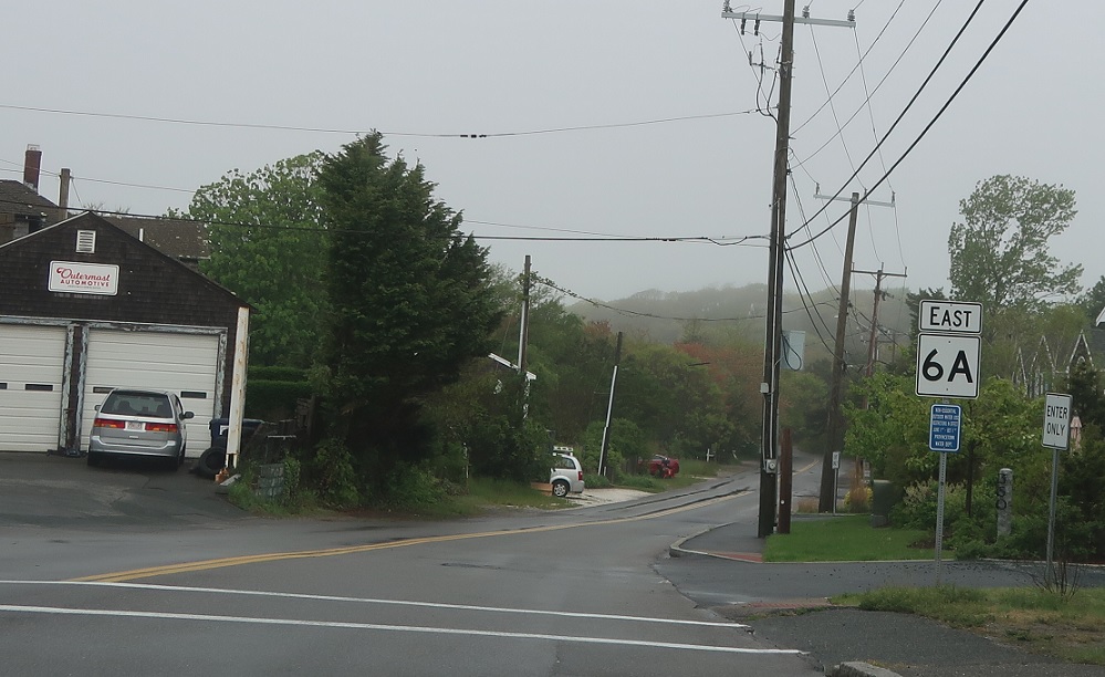
AMP: 59
Location: Bradford St and Commercial St, Provincetown
Reassurance shield as we fork onto Bradford Street.
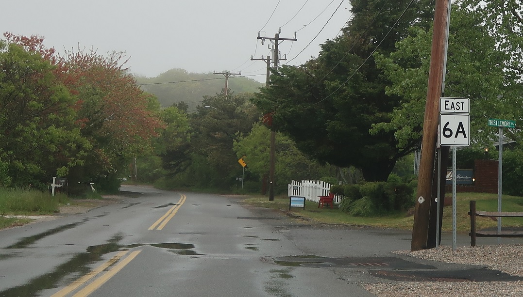
AMP: 58
Location: Bradford St and Thistlemore Rd, Provincetown
Reassurance shield a few hundred feet later.
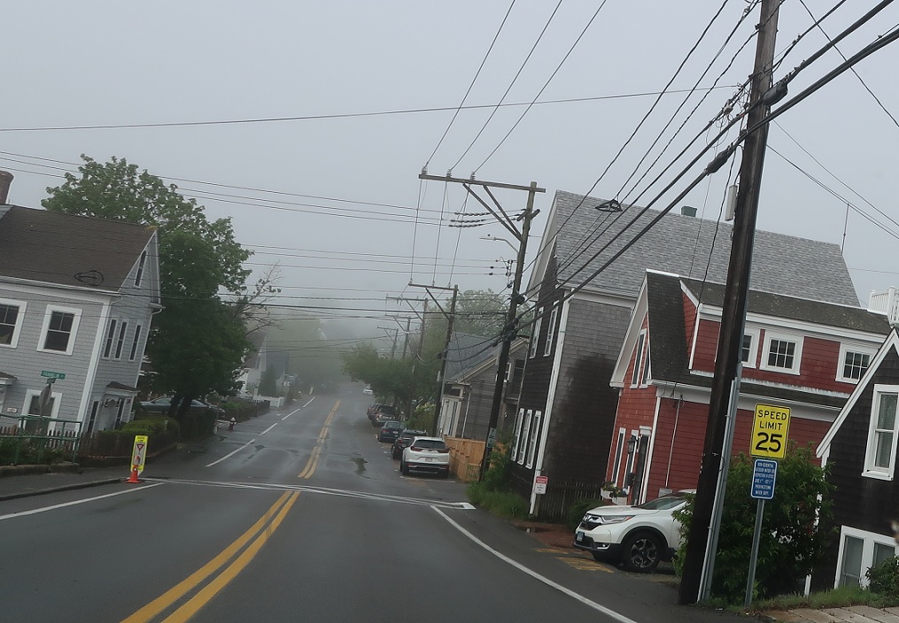
AMP: 60
Location: Bradford St and Pearl St, Provincetown
Route 6A skirts the north edge of downtown Provincetown, and as we enter downtown we’ll see a couple yellow Speed Limit signs- this part of 6A is locally maintained.
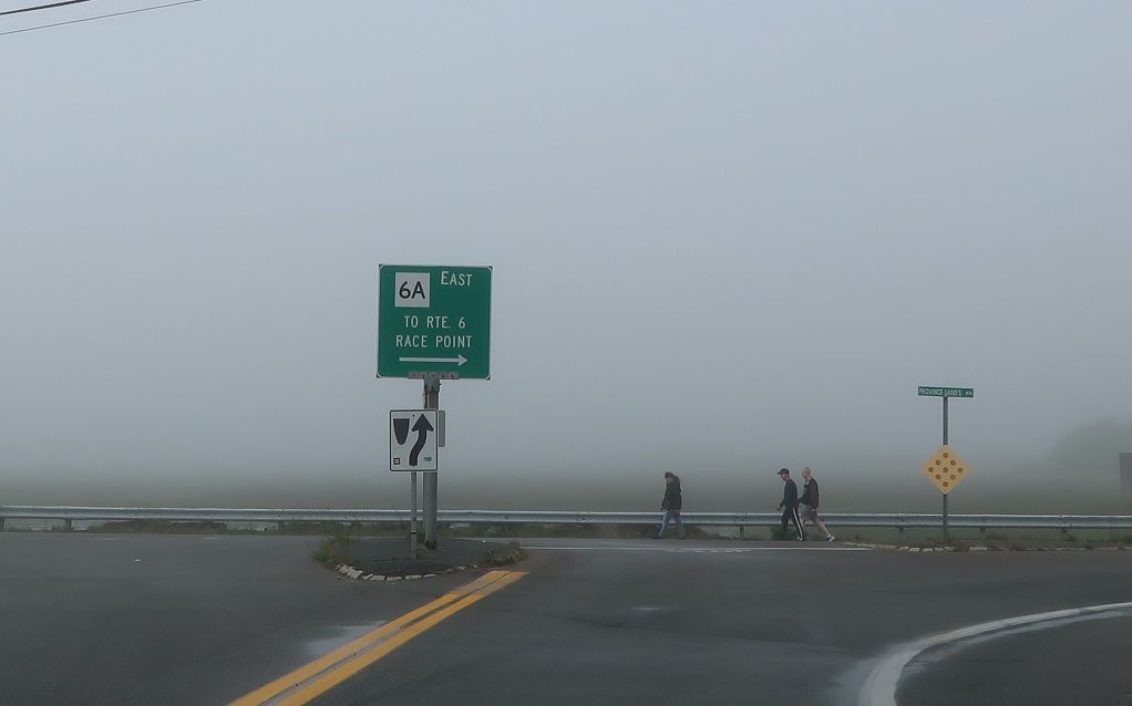
AMP: 61
Location: Bradford St Ext and Province Lands Rd, Provincetown
On the west side of downtown, we’ll run out of land and 6A east will turn north to connect to US 6’s eastern terminus.
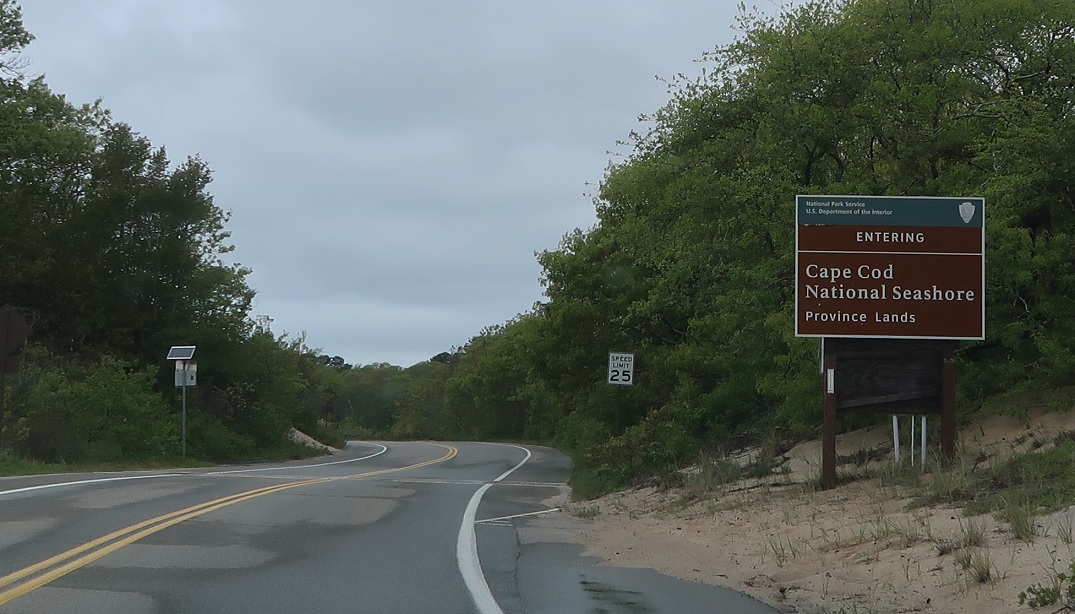
AMP: 61
Location: Province Lands Rd and Bradford St Ext, Provincetown
We’ll enter the Province Lands unit of the Cape Cod National Seashore just after the turn.
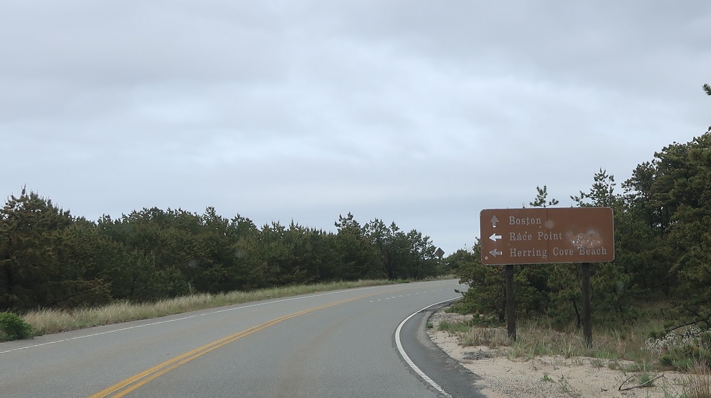
AMP: 62
Location: Province Lands Rd and US 6, Provincetown
A mile later, keep left to connect up to Race Point. Stay straight for US 6 to Boston. Route 6A ends, and US 6 begins, at the turn to Race Point.


