
Last Driven October 2018
(Historic Photo: February 2008)
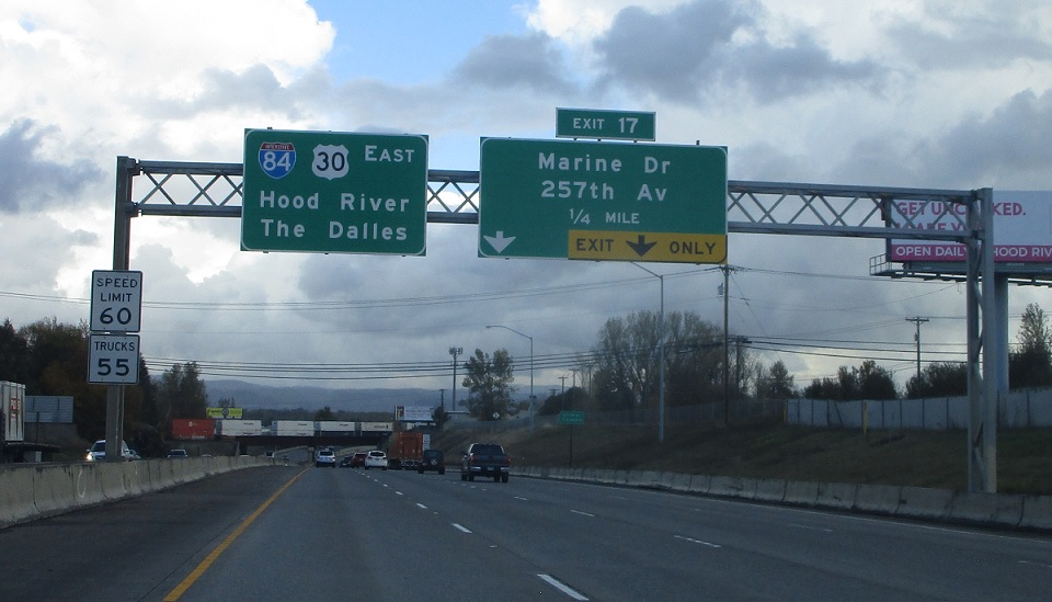
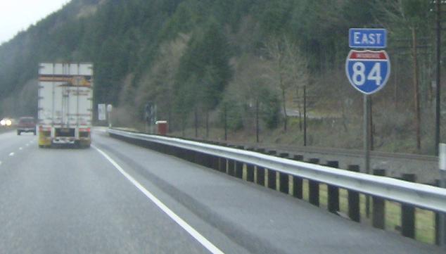
MP: Columbia River Hwy #2/16.265
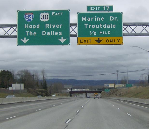
Location: I-84 and Marine Dr, Troutdale
Pull through BGS for I-84/US-30 at the first Troutdale exit
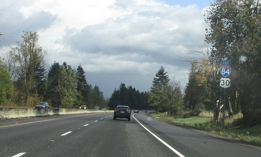
MP: Columbia River Hwy #2/18.18
Location: I-84 and Historic Columbia River Hwy, Multnomah Cty
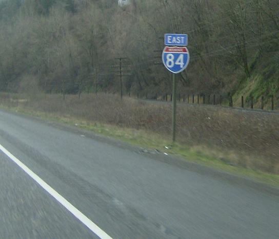
Reassurance shield after leaving Troutdale and passing the exit for Lewis and Clark State Park
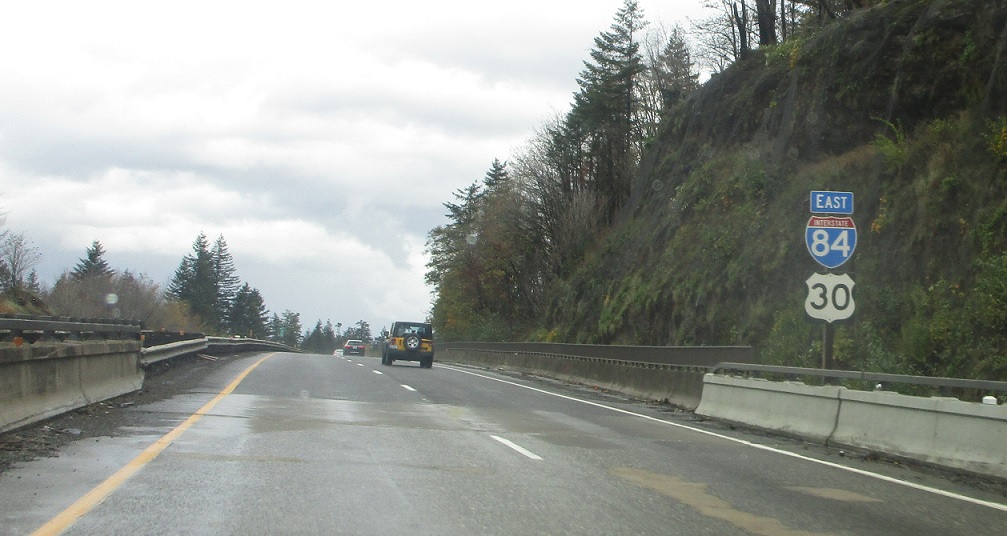
MP: Columbia River Hwy #2/22.48
Location: I-84 and NE Corbett Hill Rd, Corbett, Multnomah Cty
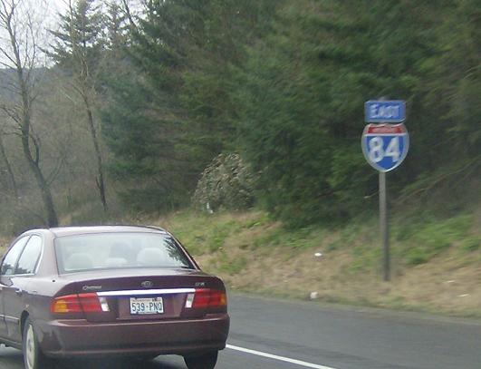
Reassurance shield once again omitting US-30 after the small village of Corbett
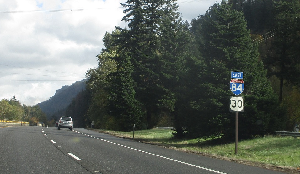
MP: Columbia River Hwy #2/25.12
Location: I-84 and Mirror Lake, Multnomah Cty
Reassurance shield after a little exit for a state park
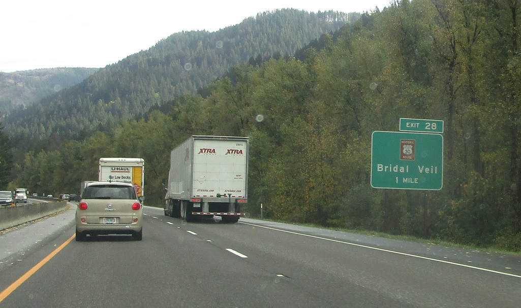
AMP: 27
Location: I-84 and Bridal Veil Rd, Multnomah Cty
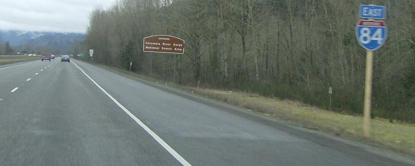
A couple miles later, we’ll approach an old US 30 alignment.
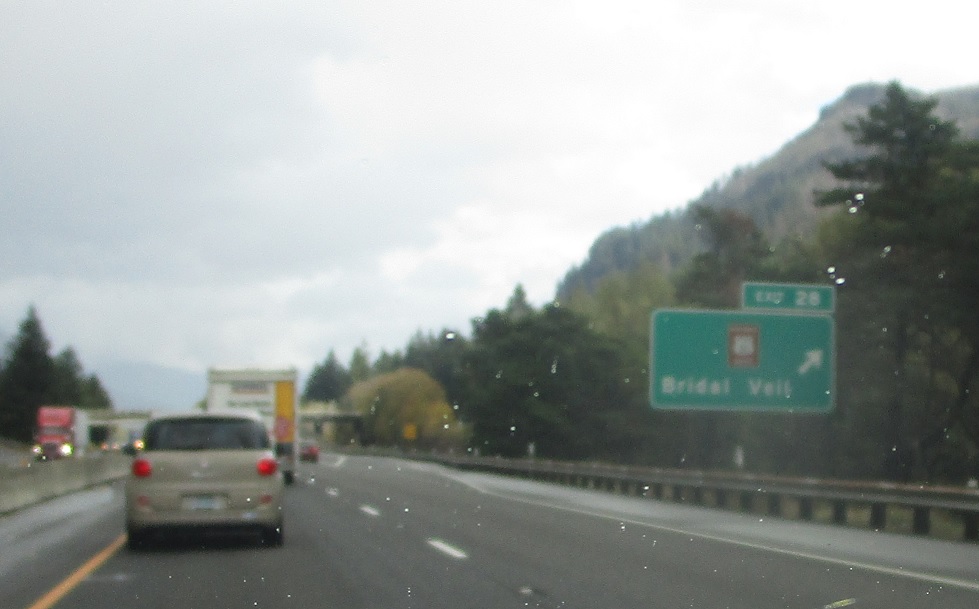
AMP: 28
Location: I-84 and Bridal Veil Rd, Multnomah Cty
Exit for old 30.
(Historic Photo: February 2008)
MP: Columbia River Hwy #2/28.205
Location: I-84 and E Bridal Veil Rd, Multnomah Cty
Reassurance shield, still omitting US-30, as we pass through Rooster Rock State Park
MP: Columbia River Hwy #2/30.51
Location: I-84 and W Mill Rd, Multnomah Cty
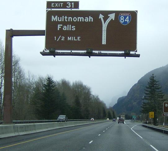
One of the few Big Brown Sign gantries I have ever seen. Left exit for the upcoming Multnomah Falls exit, stay right for I-84
MP: Columbia River Hwy #2/31.76
Location: I-84 at Multnomah Falls, Multnomah Cty
Reassurance shield after the left exit for Multnomah Falls
(Historic Photo: February 2008)
MP: Columbia River Hwy #2/35.8
Location: I-84 and NE Frontage Rd, Dodson, Multnomah Cty
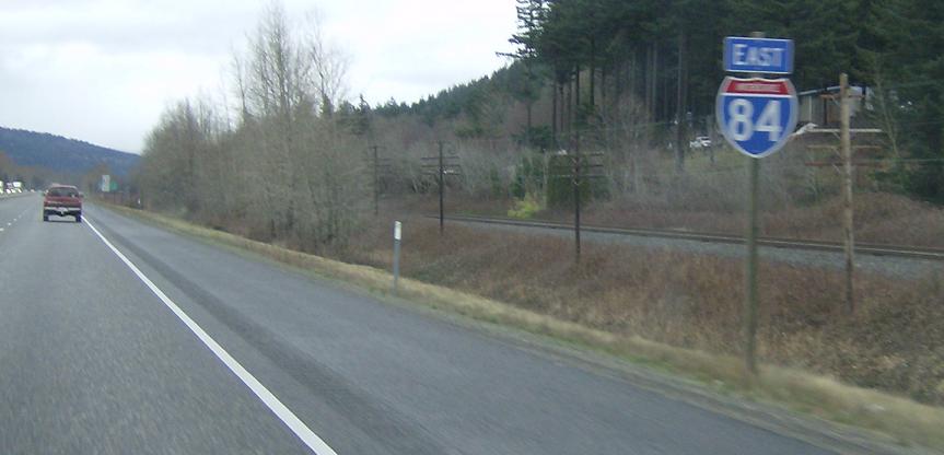
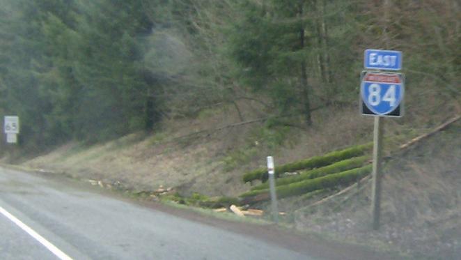
Reassurance shield after passing the interchange for the little unincorporated area of Dodson
AMP: 37
Location: I-84 and Warrendale Rd, Multnomah Cty
Reassurance shield after the frontage road merges on.
(Historic Photo: February 2008)
MP: Columbia River Hwy #2/40.78
Location: I-84 and Tanner Creek Rd, Hood River Cty
Reassurance shield after passing the exit for Bonneville State Park, adjacent to the WA-OR Bonneville Dam
(Historic Photo: February 2008)
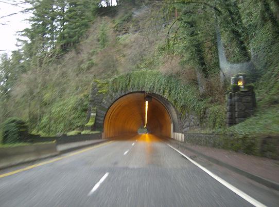
MP: Columbia River Hwy #2/41.18
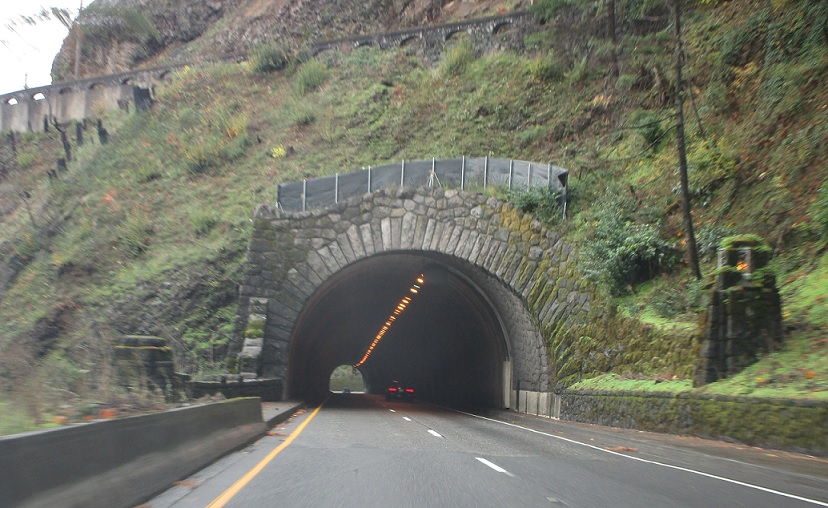
Location: I-84 and NE Eagle Creek Loop, Hood River Cty
I-84 passes under this awesome tunnel
(Historic Photo: February 2008)
MP: Columbia River Hwy #2/41.51
Location: I-84 and Eagle Creek Loop, Hood River Cty
There used to be a reassurance shield on the left side right at the Eagle Creek exit.
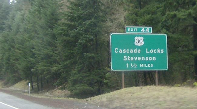
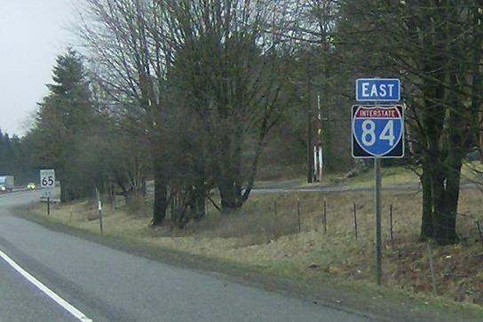
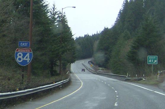
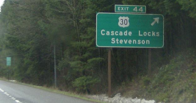
MP: Columbia River Hwy #2/42.04
Location: I-84 and Eagle Creek Loop, Multnomah Cty
US-30 will leave I-84 in 1.5 miles to travel through Cascade Locks
AMP: 42
Location: I-84 and Eagle Creek Loop, Multnomah Cty
Reassurance shield after the Eagle Creek exit as we enter Hood River County.
(Historic Photo: February 2008)
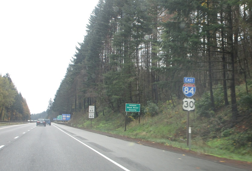
MP: Columbia River Hwy #2/42.34
Location: I-84 and WA-Na-PA St, Cascade Locks
Oregon diagrammatic indicating that US-30 will leave, travel t hrough Cascade Locks, and come right back
(Historic Photo: February 2008)
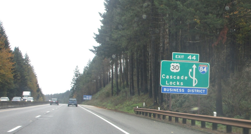
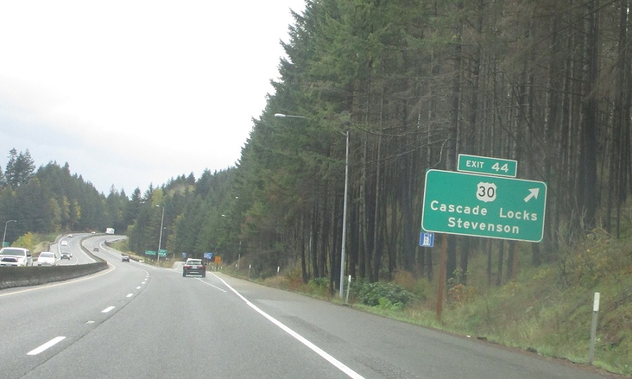
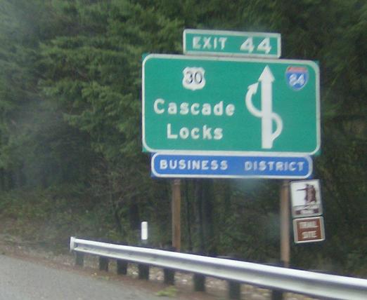
MP: Columbia River Hwy #2/43.39
Location: I-84 and WA-Na-PA St, Cascade Locks
US-30 exits, heads through Cascade Locks


