
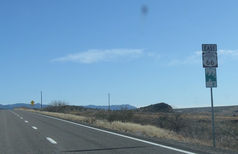
AMP: 56
Location: Andy Devine Ave and I-40, Kingman
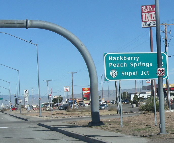
SR 66 begins after I-40 and seems to exist mainly to serve Supai Junction and Indian 18
AMP: 56
Location: Andy Devine Ave and I-40, Kingman
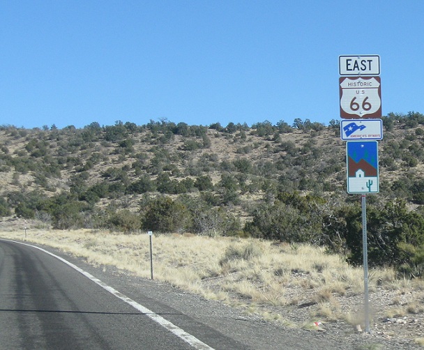
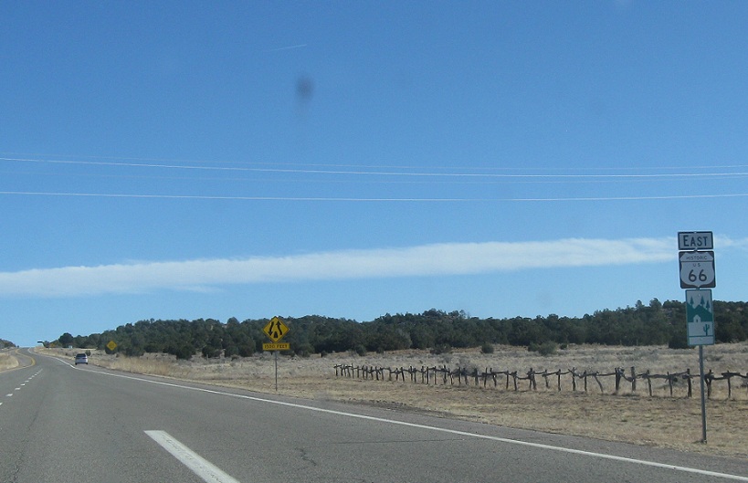
SR 66 is mostly signed as Historic US-66, and is one of the longer extant alignments from I-40 in Arizona
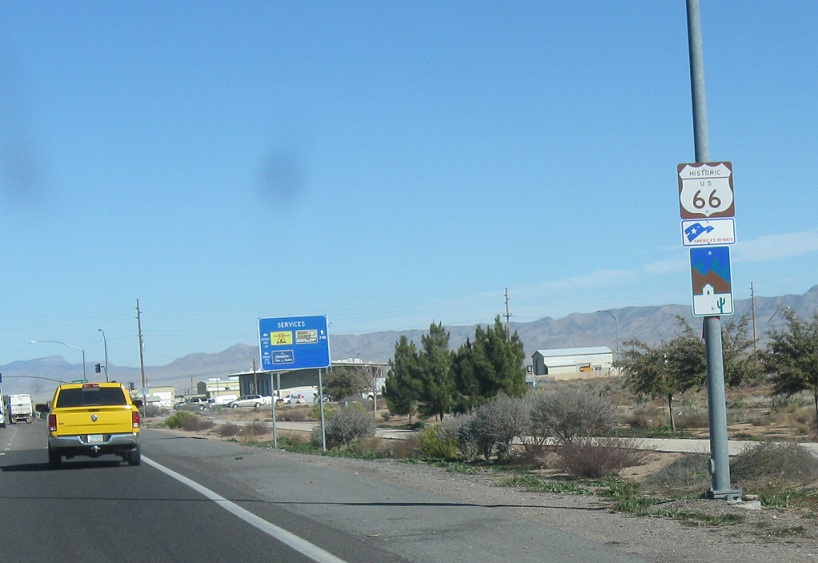
AMP: 57
Location: Route 66 and Airway Ave, Kingman
Reassurance shield after the Airway Avenue intersection
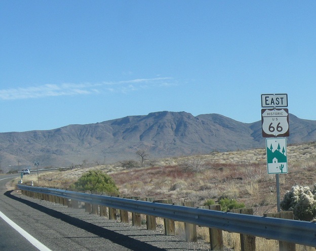
AMP: 77
Location: Route 66 and Buckboard Dr, Mohave Cty
Reassurance shield as we head out of the Kingman area
AMP: 86
Location: Route 66 and Valentine Way, Mohave Cty
Reassurance shield as we pass the little community of Valentine. Route 66 has plenty of passing lanes.
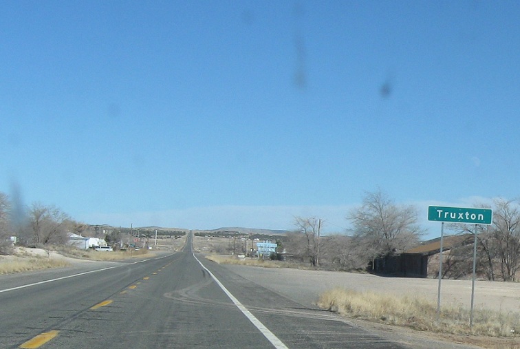
AMP: 96
Location: Route 66 and Truxton Rd, Truxton, Mohave Cty
A few miles later, we’ll approach Truxton, a little bypassed town that appears to be a shadow of its former self
AMP: 96
Location: Route 66 and Truxton Rd, Mohave Cty
Reassurance shield as we head out of Truxton
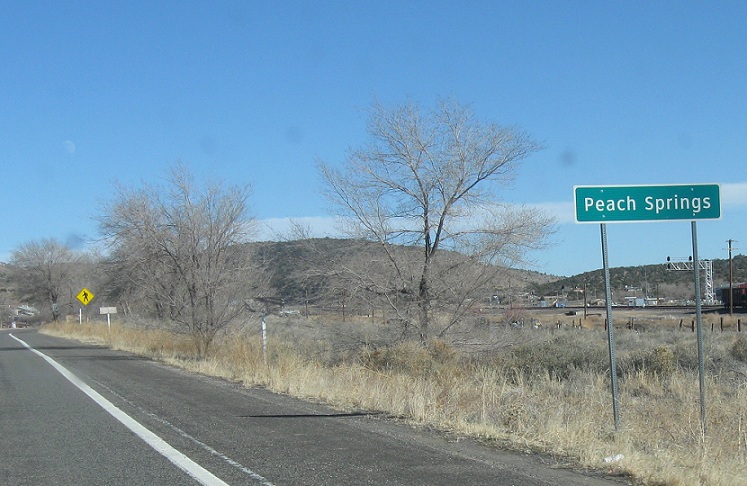
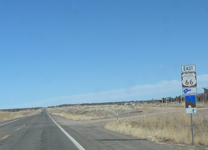
AMP: 103
Location: Route 66 and Honaga Rd, Peach Springs, Mohave Cty
A few miles later, we’ll come to the slightly larger town of Peach Springs. When one thinks of the movie Cars, this is where it’s at. This used to be a significant town, but now it’s not just a few miles off the freeway, but it’s out in the middle of fucking nowhere. There’s absolutely no reason to be out here unless you’re an Indian or you’re driving highways for fun.
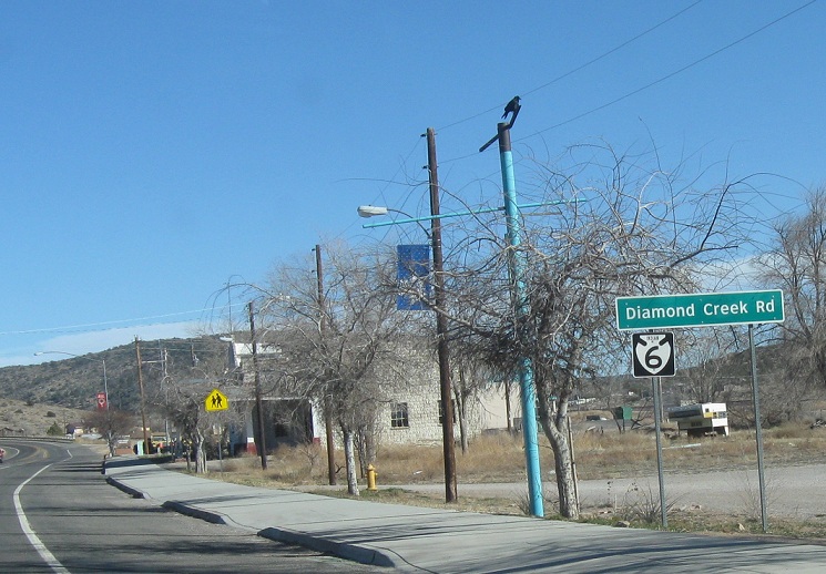
AMP: 103
Location: Route 66 and Diamond Creek Rd, Peach Springs, Mohave Cty
Turn right for Indian 6 at the next intersection
AMP: 103
Location: Route 66 and Nelson Rd, Mohave Cty
Reassurance shield as we head out of Peach Springs
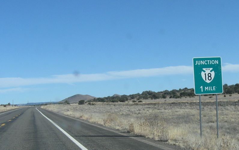
AMP: 106
Location: Route 66 and Indian 18, Mohave Cty
A few miles later, we’ll approach Indian Route 18
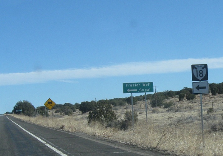
AMP: 107
Location: Route 66 and Indian 18, Mohave Cty
Follow Indian 18 to Frazier Well and Supai
AMP: 108
Location: Route 66 and Indian 19, Mohave Cty
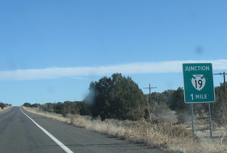
About a mile later, we’ll approach Indian 19
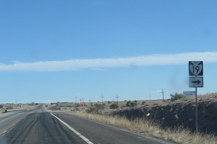
AMP: 109
Location: Route 66 and Indian 19, Coconino Cty
Turn right for Indian 19 as we enter Coconino County
AMP: 115
Location: Route 66 and Grand Canyon Cavern Rd, Coconino Cty
A couple miles later, we’ll pass the Grand Canyon Caverns and get another reassurance shield
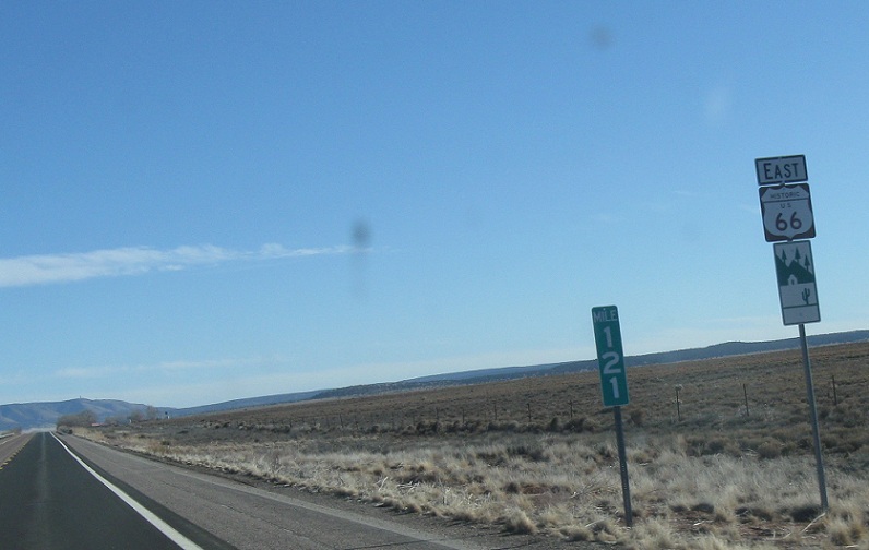
AMP: 121
Location: Route 66 at the Yavapai Cty Line, Coconino Cty
A couple miles later, we’ll enter Yavapai County briefly and then re-enter Coconino County and get a reassurance shield
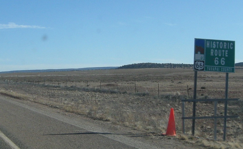
AMP: 123
Location: Route 66 at the Coconino County Line, Yavapai Cty
2 miles later, we’ll cross into Yavapai County for good. State maintenance ends, and the route becomes Yavapai CR 66, continuing to Seligman where Route 66 catches up with I-40 again.
 W to I-40 Bus/US-93, E to US-93


