
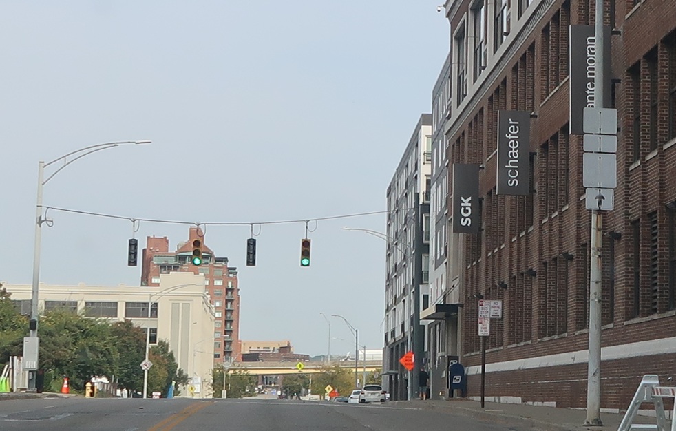
Location: Pete Rose Way and Mehring Way, Cincinnati
After the turn, I believe we’re told that we can stay straight to get to US 50 east – but the sign is so faded it’s hard to tell. In any event, US 52 is now flying solo for its first time in Ohio.
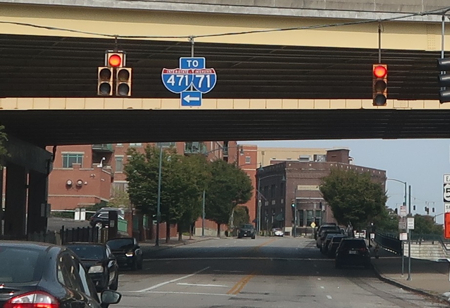
Location: Pete Rose Way and Eggleston Ave, Cincinnati
Follow Eggleston Avenue to I-471 and I-71 as we pass under I-471.
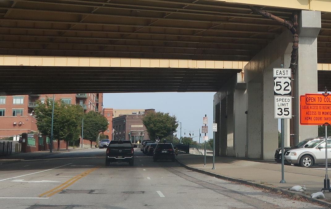
Location: Pete Rose Way and Eggleston Ave, Cincinnati
Reassurance shield after Eggleston.
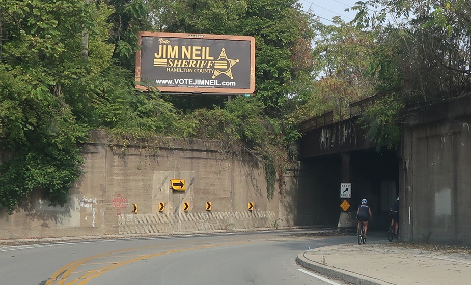
Location: Riverside Dr and Kemper Ln, Cincinnati
As we get out of downtown, we’ll cruise along the river, passing here under some railroad tracks. We’ll very closely parallel US 50 without ever actually intersecting it.
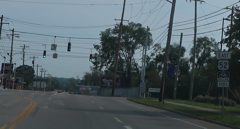
Location: Kellogg Ave and Stanley Ave, Cincinnati
A couple miles later, the road name changes to Kellogg Avenue and we’re reassured.
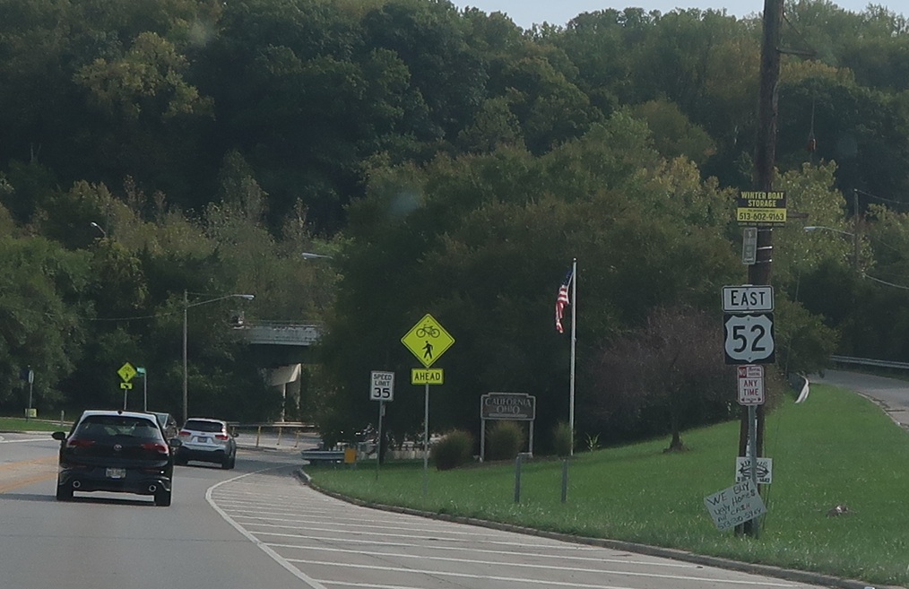
Location: Kellogg Ave and Salem Rd, Cincinnati
Reassurance shield as we enter the neighborhood of California.
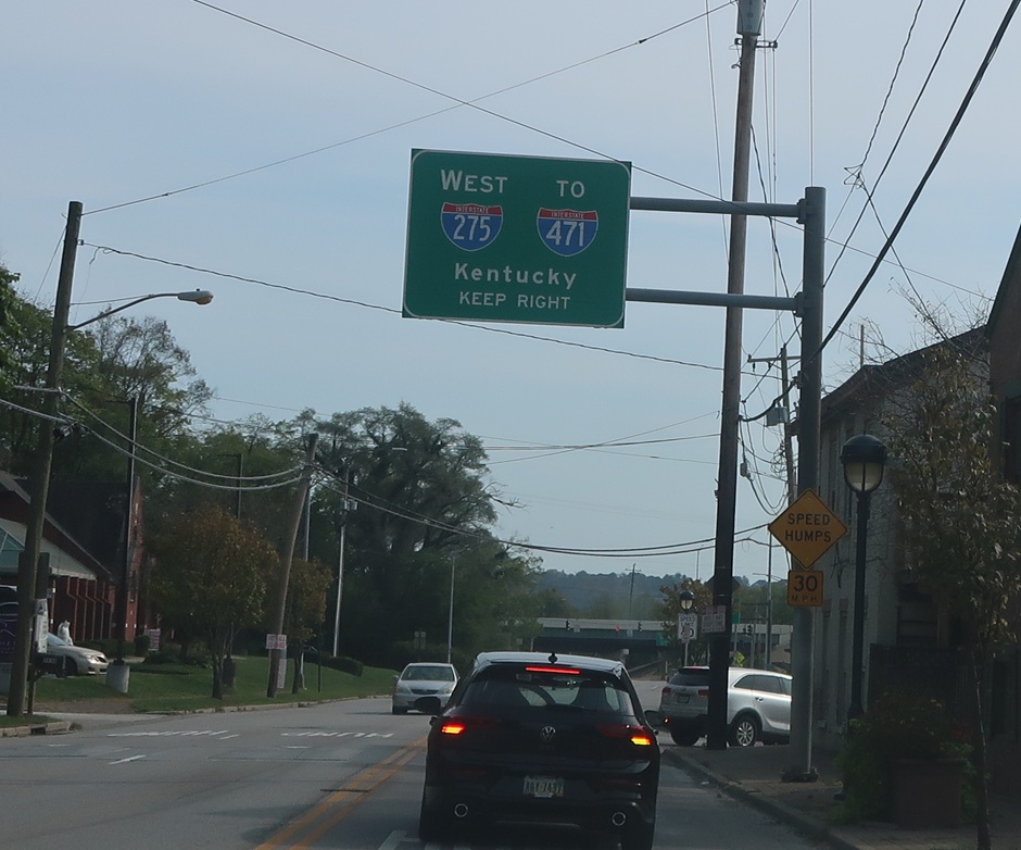
Location: Kellogg Ave and Waits Ave, Cincinnati
In the California neighborhood, we’ll approach I-275, which first heads west to I-471 in Kentucky.
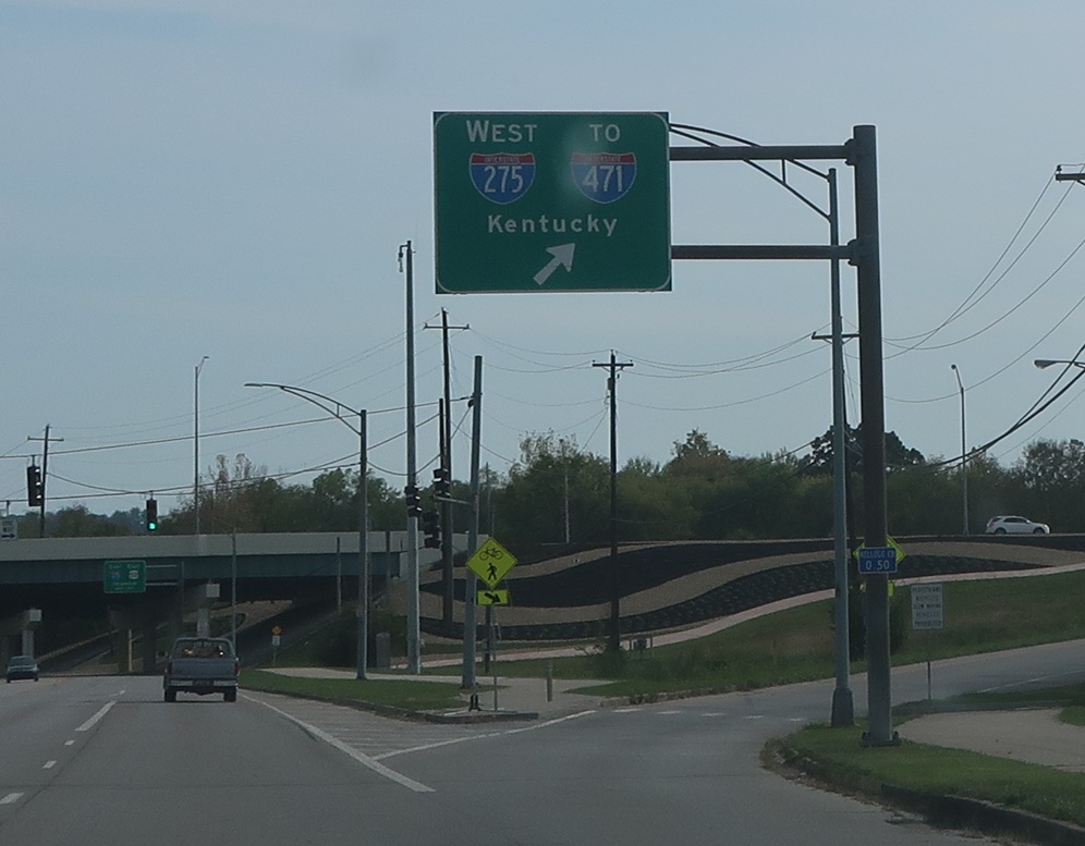
Location: Kellogg Ave and I-275, Cincinnati
275 west to 471 north is the fastest route back to downtown from here, despite leaving the state.
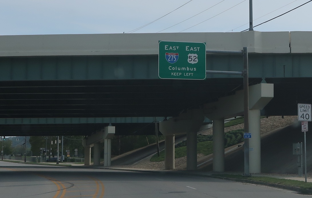
Location: Kellogg Ave and I-275, Cincinnati
US 52 east will join I-275 east for an exit as 275 heads towards Columbus.
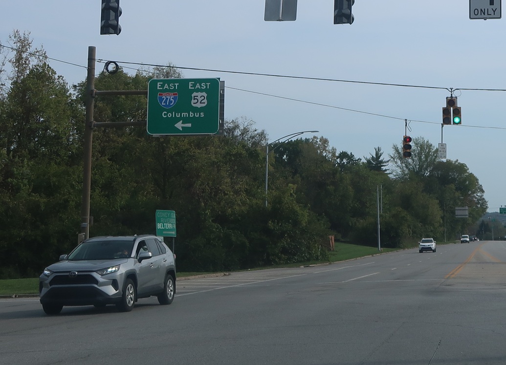
Location: Kellogg Ave and I-275, Cincinnati
Exit for I-275 west/US 52 east, which briefly concur again.

 E to US-52, W to KY State Line
 N to US-42/US-127, S to KY State Line
