AMP: N/A
Location: Main St and Broadway, Salem
No signage as Route 38 begins. 38 is a weird route in New Hampshire because every piece of NHDOT documentation I can locate clearly indicates that this is the routing of Route 38, but it also seems like it was re-aligned to connect I-93 Exit 1 with 38 west of I-93 – but there’s no evidence of this whatsoever aside from a single sign we’ll see later.
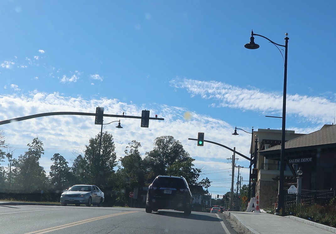
Location: Main St and Pleasant St, Salem
Anyway, paper 38 turns left here onto Pleasant Street.
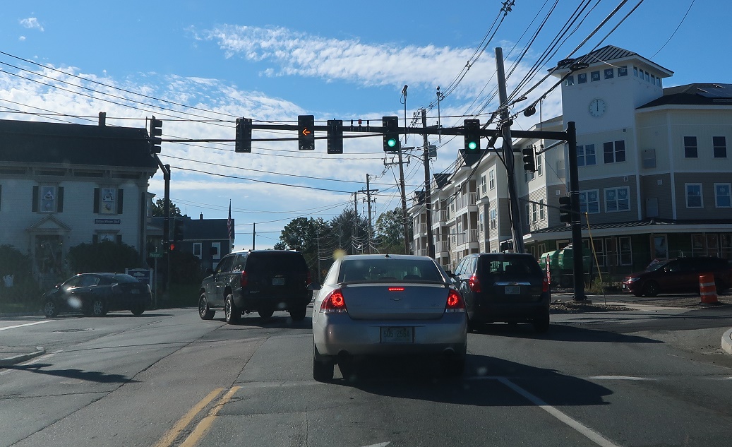
Location: Pleasant St and Main St, Salem
No reassurance marker after the turn.
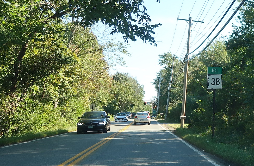
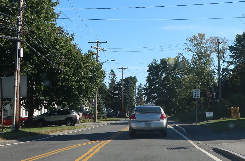
Location: Pleasant St and Mall Rd,Salem
As we approach Mall Road, a non-standard sign informs us that we’re coming to a junction with Route 38.
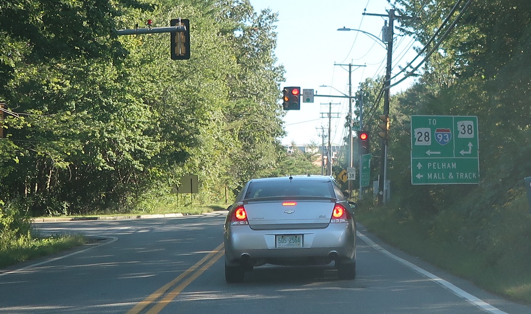
Location: Pleasant St and Mall Rd, Salem
Turn left to connect back to Route 28 and I-93. Stay straight for 38 south, for sure. The sign here says to turn left for 38 north, but there’s no paper evidence that Route 38 goes there.

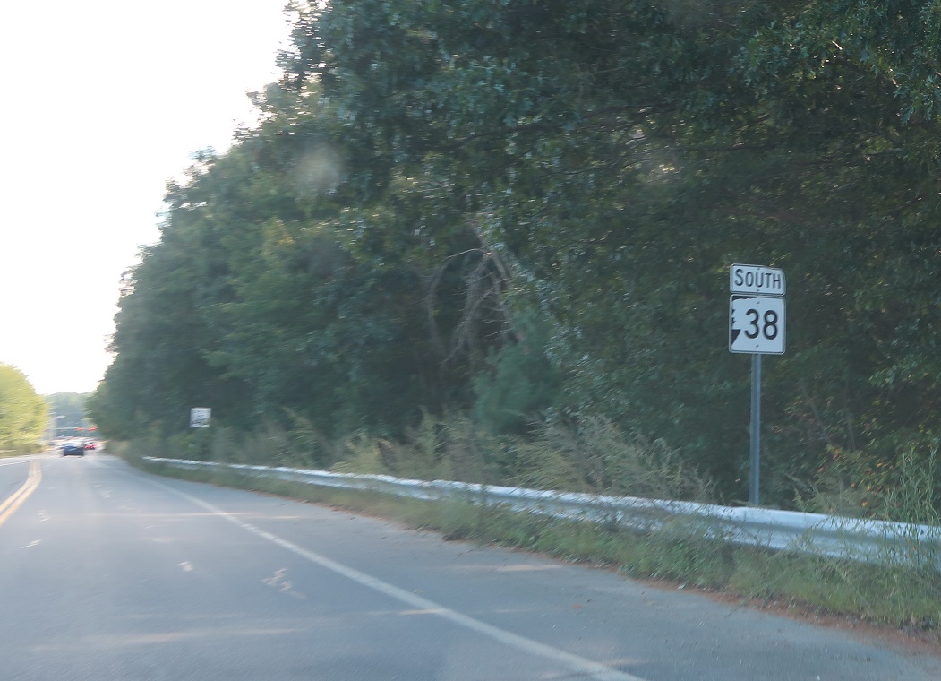
Location: Pleasant St and Mall Rd, Salem
Reassurance shield as we’re on the indisputable alignment of Route 38.

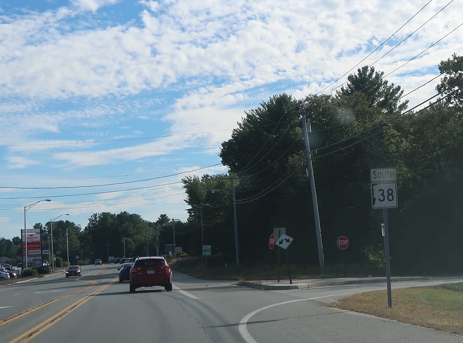
Location: Pleasant St and Policy St, Salem
A few blocks later, turn right on Policy Street north to connect to I-93. Stay straight for Route 38 south to Pelham.

Location: Lowell Rd and Policy St, Salem
Reassurance shield after Policy Street.

Location: Lowell Rd and Main St, Pelham
A couple miles later, we’ll enter Pelham. Turn right to connect to Route 111A and Pelham center. Stay straight for 38 south to Dracut, Mass.
Location: Lowell Rd and Main St, Pelham
Reassurance shield after the connector to 111A.
Location: Bridge St and Atwood Rd, Pelham
Reassurance shield as we near Massachusetts.
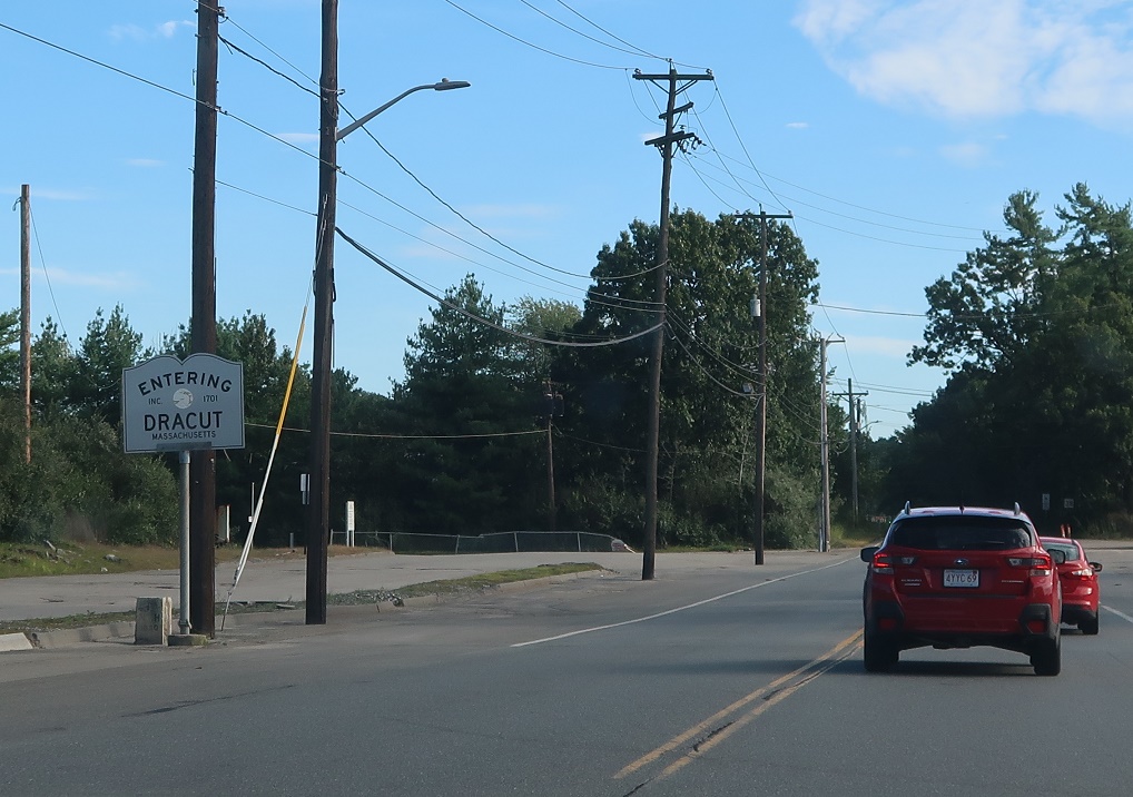
Location: Bridge St and Cardinal Dr, Pelham
A couple miles later, we’ll enter Dracut, Mass. The highway continues as Mass. Route 38, a delightful surface street that heads all the way to Boston.

 S to MA-28/MA State Line, N to NH 111