
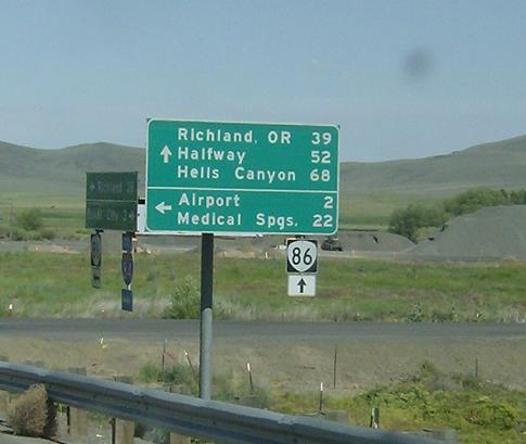
Location: Baker-Copperfield Hwy and I-84, Baker City
Go straight for Oregon 86, which serves Richland, Oxbow, Halfway, and goes towards Hells Canyon and the Idaho State Line. I’m assuming they call it Richland OR so you don’t get mixed up with Richland WA, but we’re a long way from there
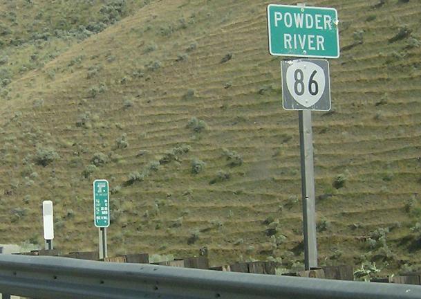
Location: Baker-Copperfield Hwy and Keating Cutoff Rd, Baker Cty
Oregon is weird about reassurance shields on non-interstates. It doesn’t put them where you’d expect, after major junctions or anything. It just sticks them on random existing signposts, such as this bridge over the Powder River
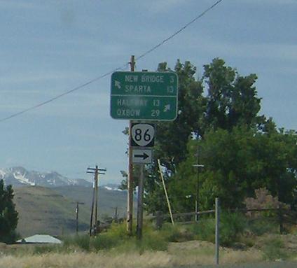
Location: Baker-Copperfield Hwy and New Bridge Rd, Richland
Keep right for Oregon 86, stay straight to take a county highway to New Bridge as we enter Richland
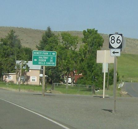
Location: Baker-Copperfield Hwy and Woods Rd, Richland
ORÂ 86 bears left as it heads out of Richland

Location: Baker Copperfield Hwy and Pine Creek Hwy, Halfway
Mileage sign as we pass Halfway. There is an unsigned OR 86 SPUR through halfway, but for purposes of Oregon Routes I’m only driving signposted ones due to mass confusion over the Oregon Route/Highway system and a lack of information available regarding spurs and 3xx Routes (they don’t even appear on the state map!)
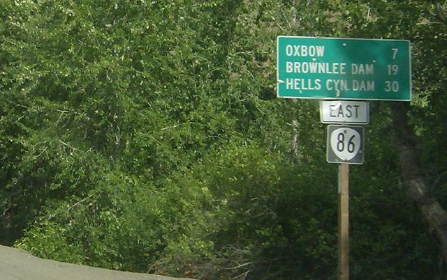
Location: Baker-Copperfield Hwy and NF-39, Baker Cty
Reassurance shield on a mileage sign after the turnoff up to Joseph on a major Forest Service road
Location: Baker Copperfield Hwy and Brownlee Oxbow Hwy, Oxbow
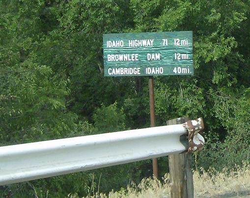
This just after the end of Oregon 86. Oregon 86 dead ends at an Idaho Power Road that hugs the state line. This road travels south through Oregon for another 12 miles before crossing a bridge and connecting with Idaho 71. Oregon 86, however, is over.
Through the Idaho Power Hwy TO  E to US-95

