
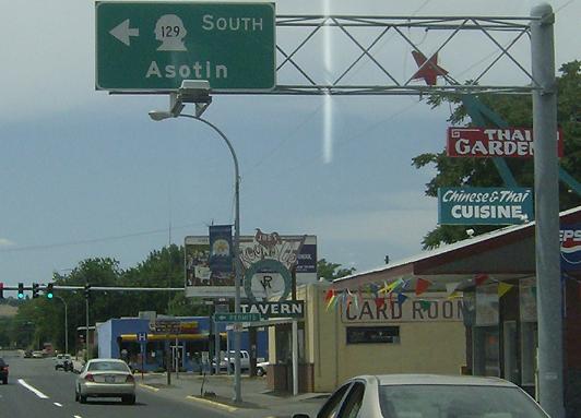
MP: 42.25
Location: Diagonal St and 6th St, Clarkston
SR 129 begins, heads a couple blocks down Diagonal St, and then turns left onto 6th St
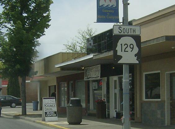
MP: 42.11
Location: 6th St and Diagonal St, Clarkston
Reassurance shield as we enter downtown Clarkston

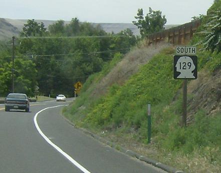
MP: 41.42
Location: 6th St and Terrace Dr, Clarkston
As we exit downtown Clarkston the road forks to the left to head out of town
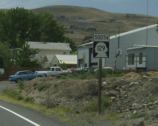
MP: 40.74
Location: 5th St and 18th Ave, Clarkston
Reassurance shield after the southern Lewiston-Clarkston Bridge as we head out of Clarkston
MP: 38.54
Location: Riverside Dr and Critchfield Rd, Asotin Cty
Reassurance shield in the middle of the gap between Clarkston and Asotin
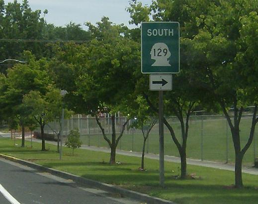
MP: 36.35
Location: 1st St and Washington St, Asotin
Upon entering the small town of Asotin, SR 129 turns right to head out of town. Note the oddity of this sign. Generally you’d have either a standard white trailblazer with right arrow or a one piece green sign with right arrow inside of it

MP: 36.19
Location: Washington St and 3rd St, Asotin
SR 129 bears right. It will head up a steep grade out of the Snake River Valley and head along the high plains until reaching Anatone
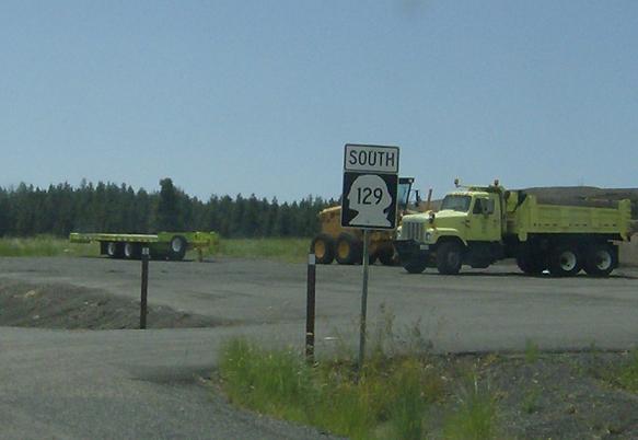
MP: 17.36
Location: SR 129 and Mill Rd, Anatone
Reassurance shield as we head out of Anatone. We will soon descend off these high plains into Oregon
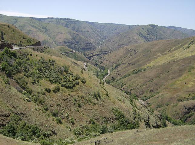
MP: 8.05ish
Location: SR 129, Asotin Cty
Normally I don’t like taking pictures of the road, but when you come around a bend and see this it’s hard not to. The road will descend this mountain into Oregon. You can see OR 3 in the distance winding its way back up the hill. It’s an incredible drive for sure, the gnarliest I have seen so far and probably the most incredible in Washington. SR 142 is more technically challenging due to its width but this is pretty close, and it is a challenging drive for a far, far greater distance than SR 142’s stretch

 E to ID State Line, W to SR 128
