AMP: 36
Location: I-95 and Newbury St, Lynnfield
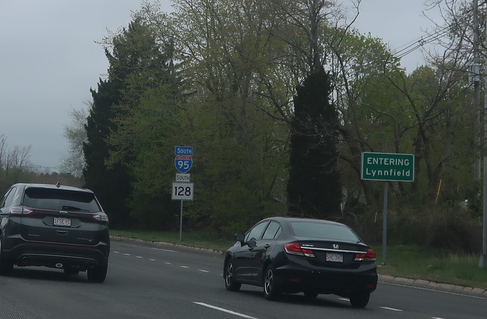
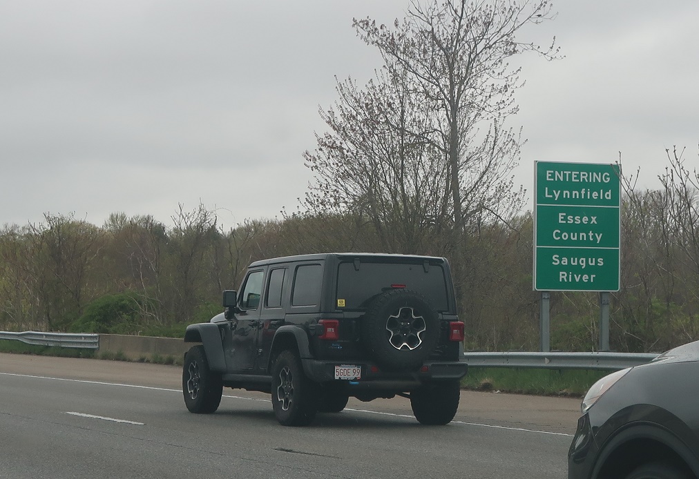
As U.S. 1 traffic merges on, we’ll enter Lynnfield.
AMP: 36
Location: I-95 and Newbury St, Lynnfield
Reassurance shield after the U.S. 1 interchange.
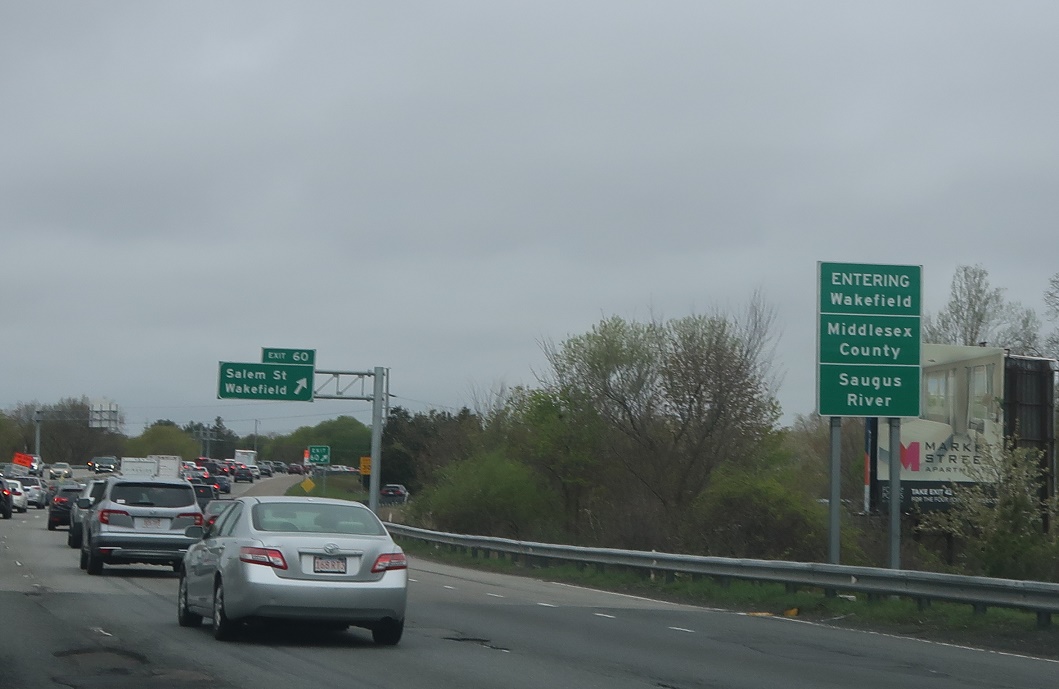
AMP: 34
Location: I-95 and Pleasure Island Rd, Wakefield
Soon thereafter, we’ll enter Wakefield.
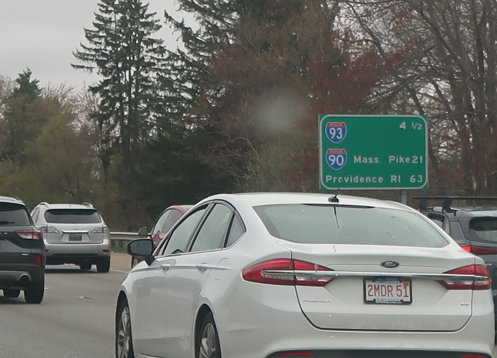
AMP: 33
Location: I-95 and Pleasure Island Rd, Wakefield
4.5 miles to Interstate 93; 21 miles to the Mass. Pike.
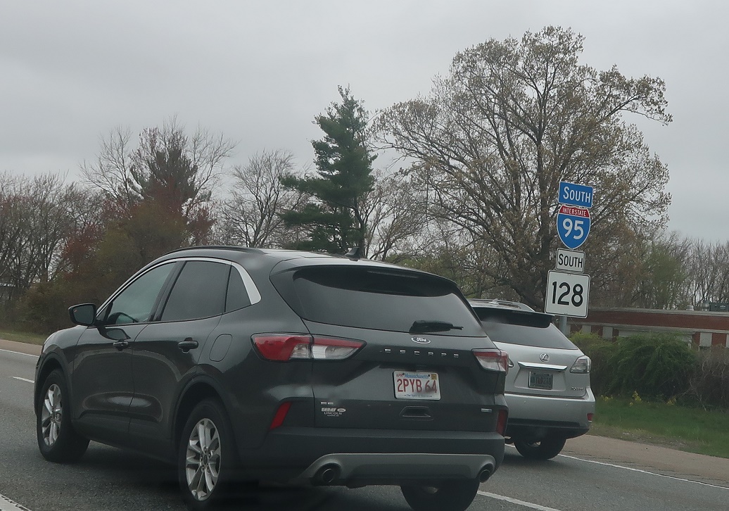
AMP: 33
Location: I-95 and Pleasure Island Rd, Wakefield
Reassurance shield after the Wakefield exit.

AMP: 33
Location: I-95 and Pleasure Island Rd, Wakefield
VMS showing 4 miles to I-93, 15 miles to the Zakim Bridge (the big cable stay at the north end of the Big Dig), and ten miles to U.S. 3 north.
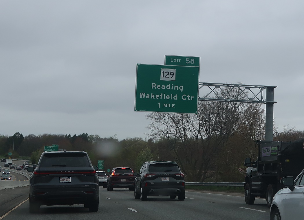
AMP: 32
Location: I-95 and Main St, Wakefield
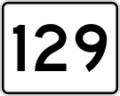
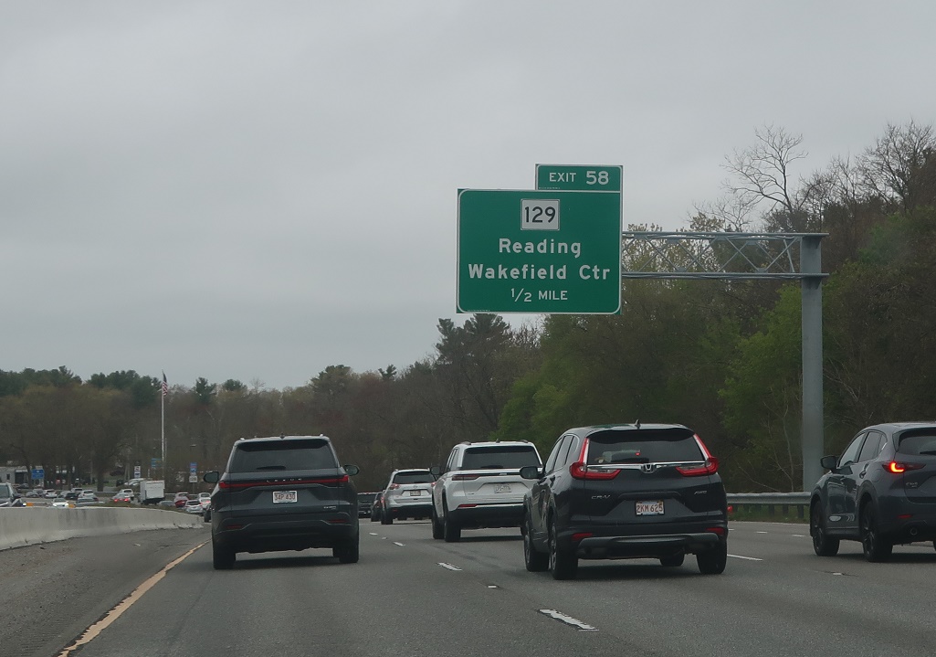
Soon after that, we’ll approach Route 129 on its own.
AMP: 32
Location: I-95 and Main St, Lynnfield
But not before we enter Lynnfield and Essex County again.
AMP: 32
Location: I-95 and Main St, Lynnfield
1/2 mile to Route 129.
AMP: 32
Location: I-95 and Main St, Wakefield
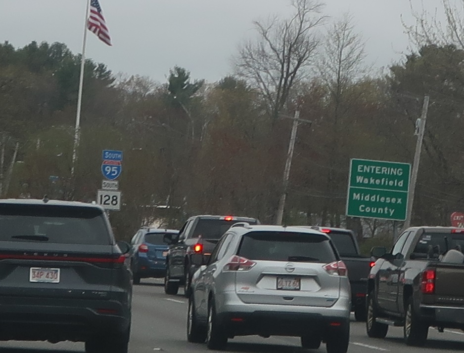
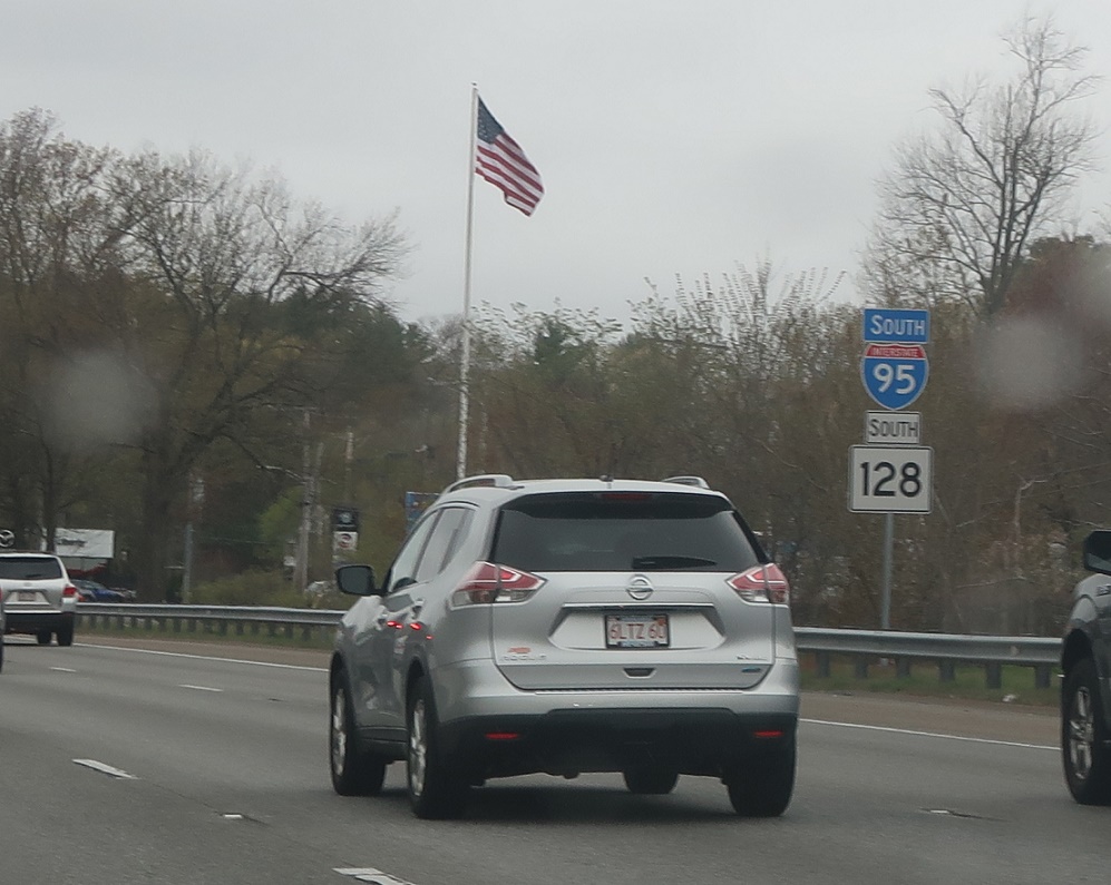
And we’re back in Wakefield and Middlesex County.
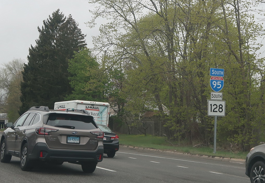
AMP: 32
Location: I-95 and Main St, Wakefield
Reassurance shield after the Wakefield Main Street interchange.
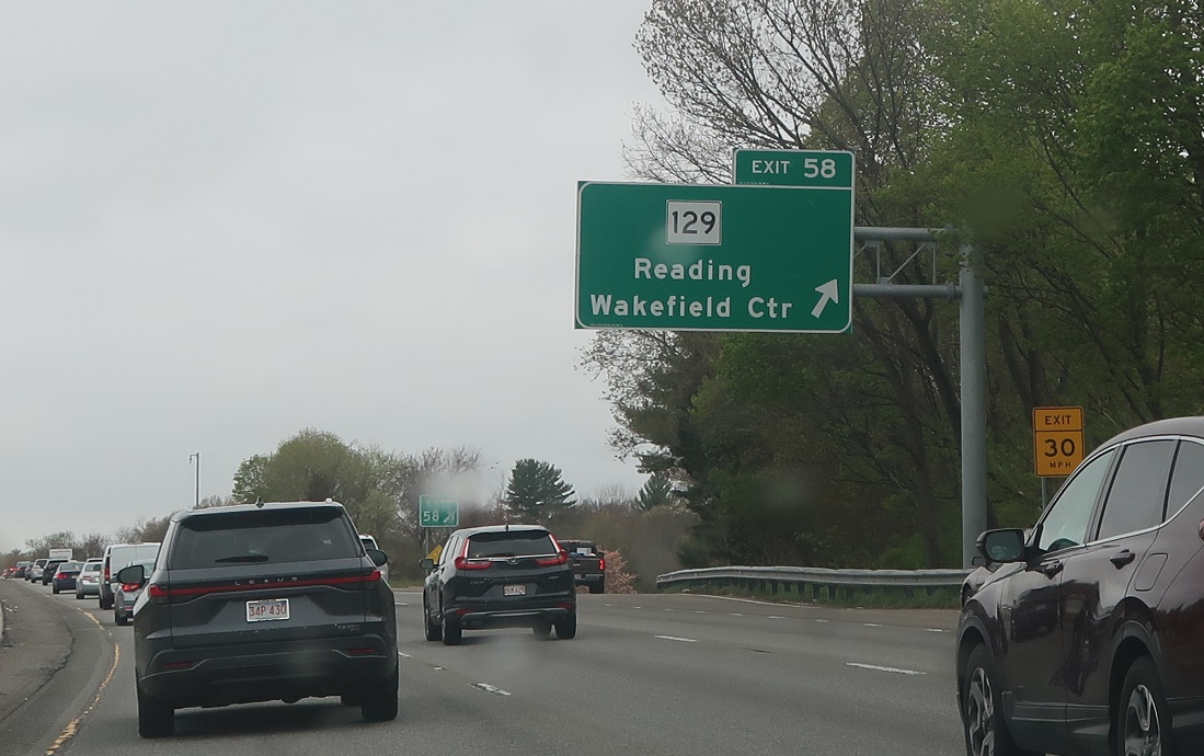
AMP: 31
Location: I-95 and Lowell St, Wakefield
Exit for Route 129, which connects to Reading and Wakefield center.