AMP: 0
Location: Route 25 and I-495, Wareham
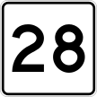
Reassurance shield as the Route 25 freeway begins. Route 25 connects I-195 and I-495 to Route 28, which serves the Cape.

AMP: 1
Location: Route 25 and Maple Springs Rd, Wareham
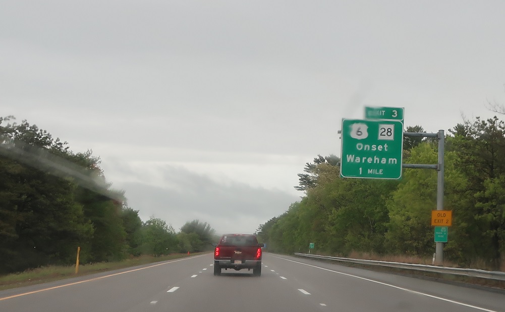
Follow the next two exits for Buzzards Bay via U.S. 6 and Route 28.
AMP: 1
Location: Route 25 and Maple Springs Rd, Wareham
Exit in a mile for Maple Springs Road, which connects to U.S. 6 and Route 28.

AMP: 2
Location: Route 25 and Maple Springs Rd, Wareham
1/2 mile to the Maple Springs Road connector.

AMP: 2
Location: Route 25 and Maple Springs Rd, Wareham
Exit for Maple Springs Road to US 6 and Route 28.

AMP: 5
Location: Route 25 and Glen Charlie Rd, Plymouth
A couple miles later, we’ll enter Plymouth.

AMP: 6
Location: Route 25 and Glen Charlie Rd, Plymouth
At a rest area, we’re three miles from the end of Route 25 at Route 28, which connects to U.S. 6.

AMP: 7
Location: Route 25 and Route 28, Plymouth
Reassurance shield after the rest area.

AMP: 7
Location: Route 25 and Route 28, Plymouth
In two miles, we’ll approach the Route 28 connection to U.S. 6.

AMP: 8
Location: Route 25 and Route 28, Bourne
Before that, though, we’ll enter Bourne.

AMP: 8
Location: Route 25 and Route 28, Bourne
Welcome to Cape Cod! Bourne is considered the entrance to the Cape.

AMP: 8
Location: Route 25 and Route 28, Bourne
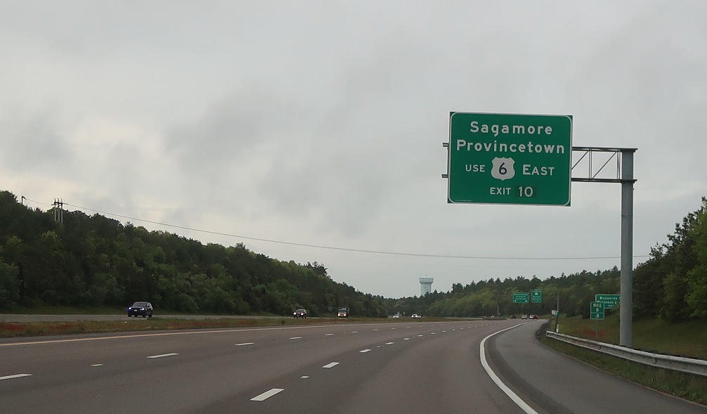
In a mile, we’ll approach Route 28, which heads south onto the Cape, taking over the carriageway. It’ll connect north to U.S. 6 via a ramp.
AMP: 8
Location: Route 25 and Route 28, Bourne
Exit for US 6 east, which connects to the Sagamore Bridge and the freeway to Provincetown, also on the Cape.

AMP: 9
Location: Route 25 and Route 28, Bourne
1/2 mile to Route 28.

AMP: 9
Location: Route 25 and Route 28, Bourne
Exit for Route 28 north to U.S. 6. Route 28 south takes over for Route 25 to head to Falmouth. Route 25 ends.