
AMP: 24
Location: Royalston Rd and King Philip Trl, Royalston
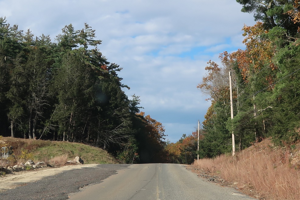
After the US 202 split, Route 68 turns into probably the worst state highway I’ve seen since moving to New England.

AMP: 24
Location: Royalston Rd and Norcross Hill Rd, Templeton
At some point narrowing down to about a lane and a half riddled with potholes.
AMP: 25
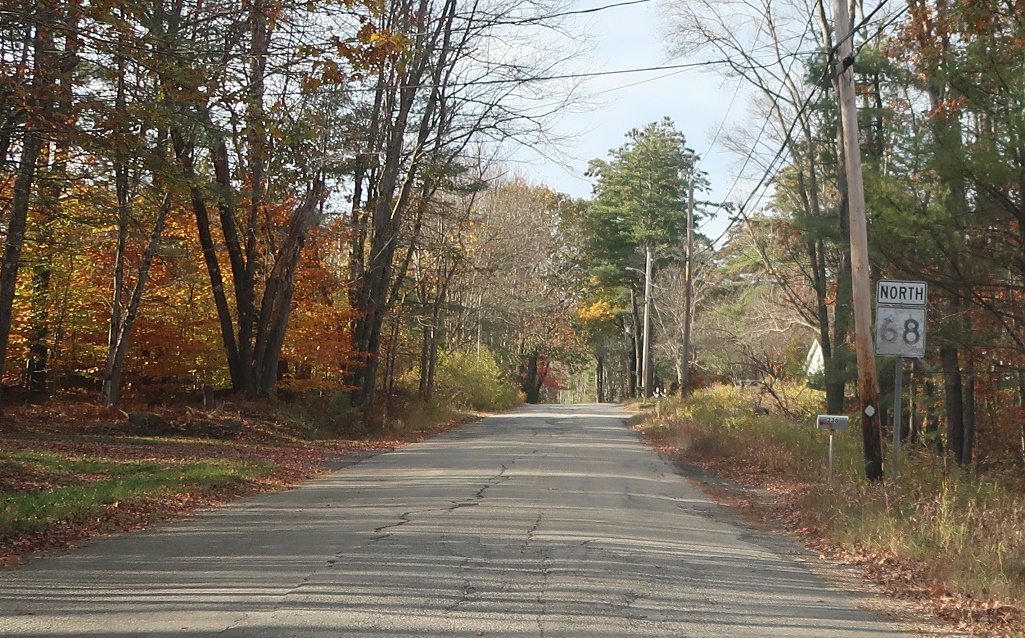
Location: Royalston Rd and Old Royalston Rd, Templeton
Reassurance shield a half mile later.
AMP: 26
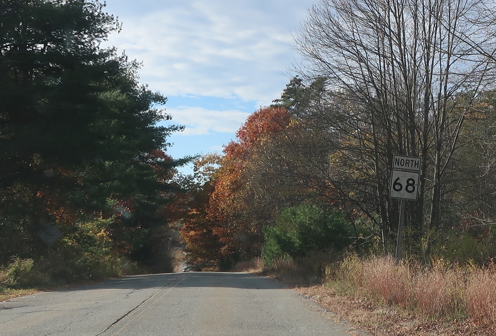
Location: Royalston Rd and Fernald School Rd, Templeton
Reassurance shield another mile later.
AMP: 26
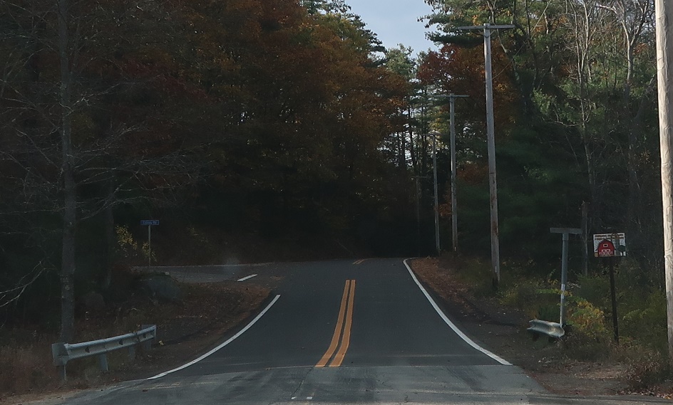
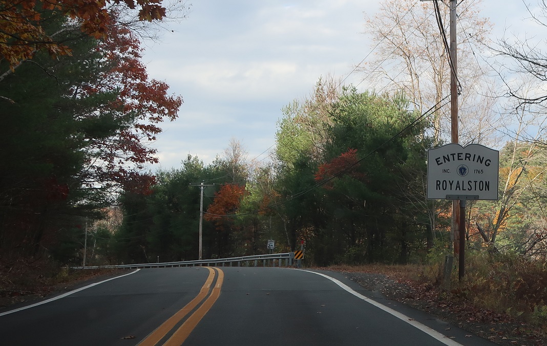
Location: Main Rd and Colony Rd, Royalston
A half mile later, we’ll enter Royalston and pavement quality will improve dramatically.
AMP: 26
Location: Main Rd and Colony Rd, Royalston
Welcome to Royalston!
AMP: 27
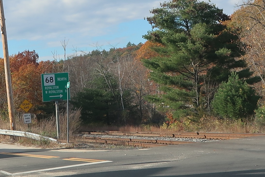
Location: Main Rd and King St, South Royalston, Royalston
As we enter South Royalston, keep right to cross some railroad tracks and Millers River.
AMP: 27
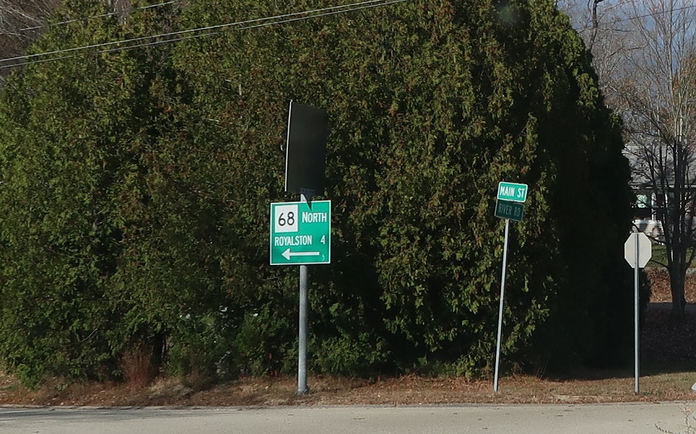
Location: Main St and River Rd, South Royalston, Royalston
After crossing the river, keep left to stay on 68 north.
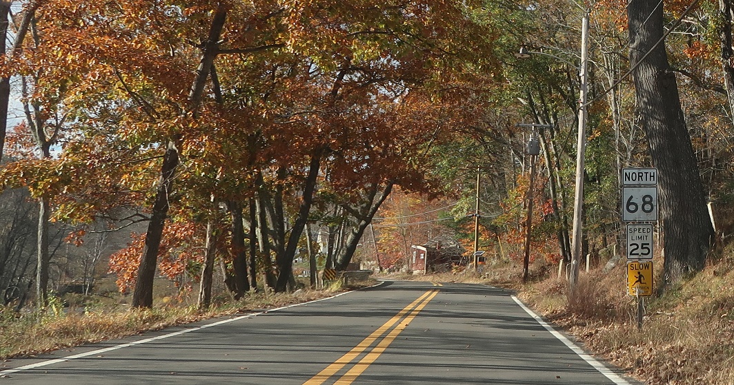
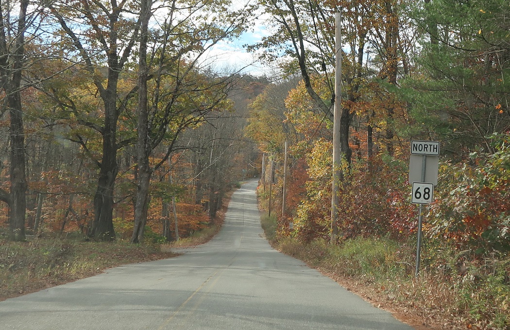
AMP: 28
Location: Main St and River Rd, South Royalston, Royalston
Reassurance shield after the turn.

AMP: 32
Location: South Royalston Rd and Brown Rd, Royalston
Soon thereafter, we’ll enter Royalston center. Keep right at the Royalston Common to stay on 68 north.
AMP: 32
Location: Brown Rd and Fitzwilliam Rd, Royalston
Keep left after turning right.

AMP: 32
Location: Warwick Rd and Brown Rd, Royalston
Reassurance shield after the turn as we head out of Royalston center.
AMP: 34
Location: Warwick Rd and Falls Rd, Royalston
Reassurance shield a couple miles later.
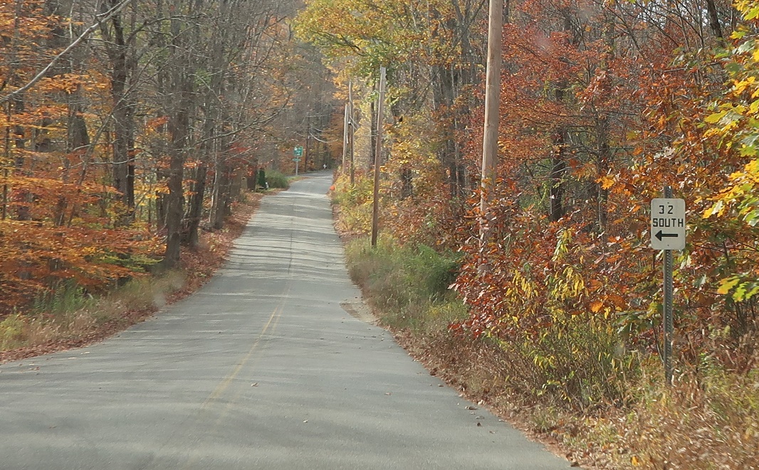
AMP: 36
Location: Warwick Rd and Cross Rd, Royalston
As we approach Route 32, turn left for a cutoff to Route 32 south.

AMP: 36
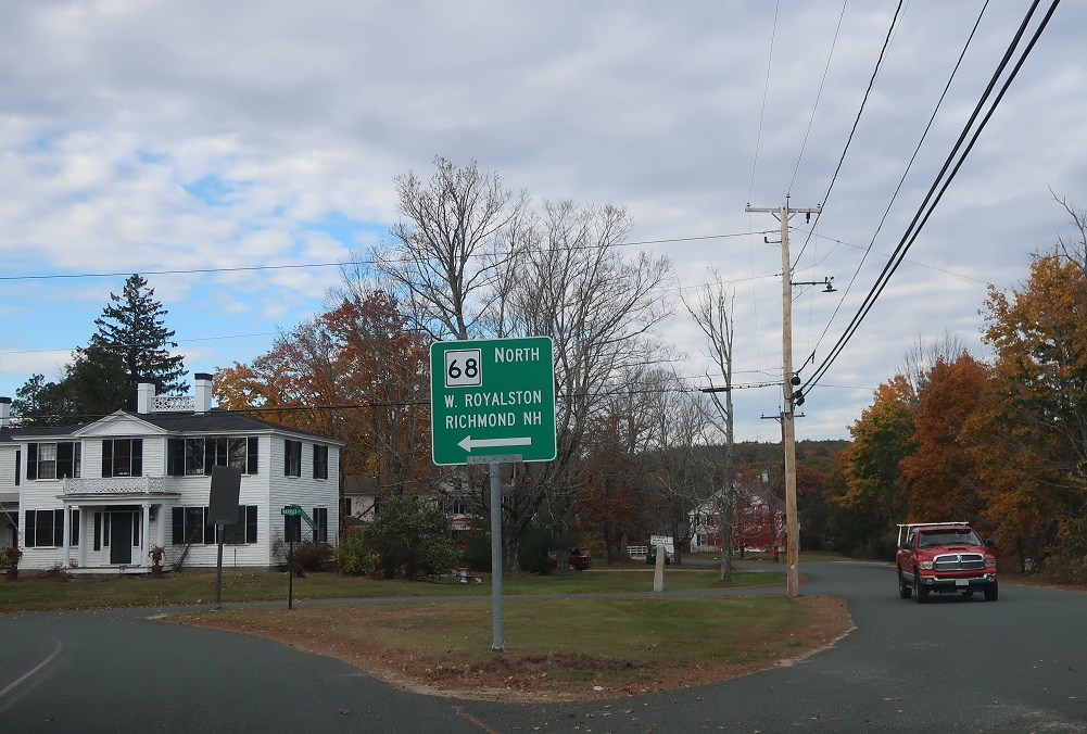
Location: Warwick Rd and Athol-Richmond Rd, Royalston
Turn right for 32 north to the Granite State. Follow 32 south to Athol. Route 68 ends.
 N to NH-32/NH State Line, S to MA 2A

