
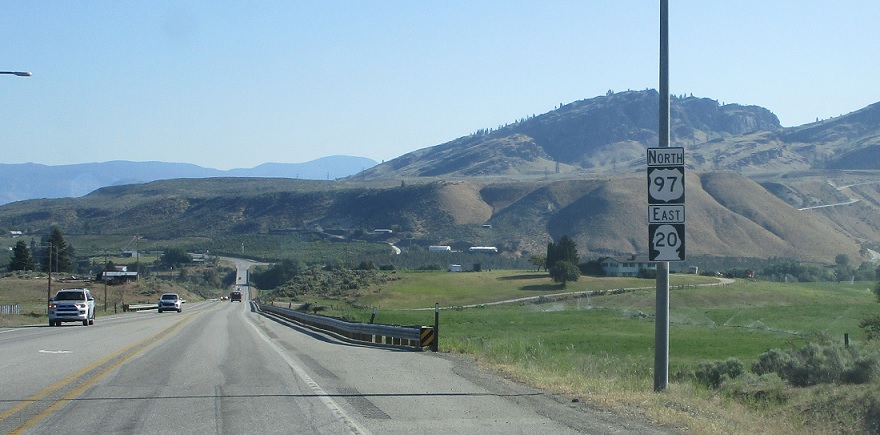
Last Driven May 2018
MP: 292.41
Location: US-97 and Riverside St, Omak
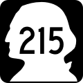
Reassurance shield after the 215 stoplight as we head out of Omak
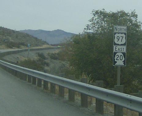
MP: 299.86
Location: US-97 and N Main St, Riverside
Reassurance shield as we pass the Riverside cutoff
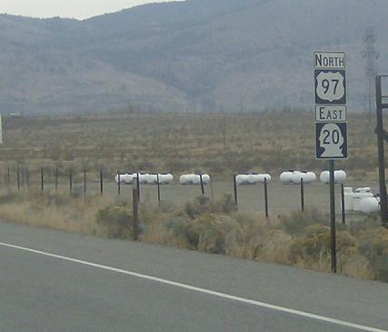
MP: 304.73
Location: US-97 and Crumbacher Rd, Okanogan Cty
Reassurance shield after some unnamed neighborhood in the middle of nowhere
(Historic Photo: September 2007)
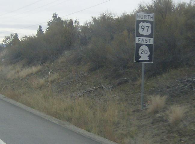
MP: 309.73
Location: US-97 and Tonasket-Oroville Rd (Old Hwy 7)
I can’t figure out where Old Hwy 7 came out, this was PSH 10 pre-1964…I’ll look into that. It might just be a county road?

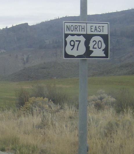
MP: 314.66
Location: S Whitcomb Ave and N State Frontage Rd, Tonasket
JCT SR 20 coming up, it’ll head east over to Republic and SR 21
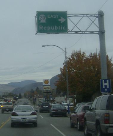
MP: 314.77
Location: S Whitcomb Ave and 6th St, Tonasket
This BGS is the tallest structure in the city. SR 20 leaves the multiplex, heads over to the most insignificant (length:uselessness) highway in the state.
 N to BC-97/BC International Boundary, S to SR 155

