
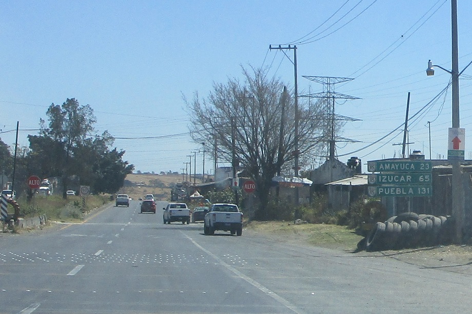
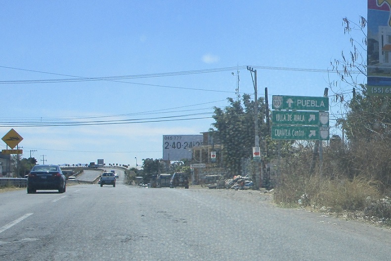
Location: MX-160 and MX-115D, Cuautla
Reassurance shield as Mexico 160 begins. This isn’t Mexico 115 anymore, though the first few signs have 115 shields in them.
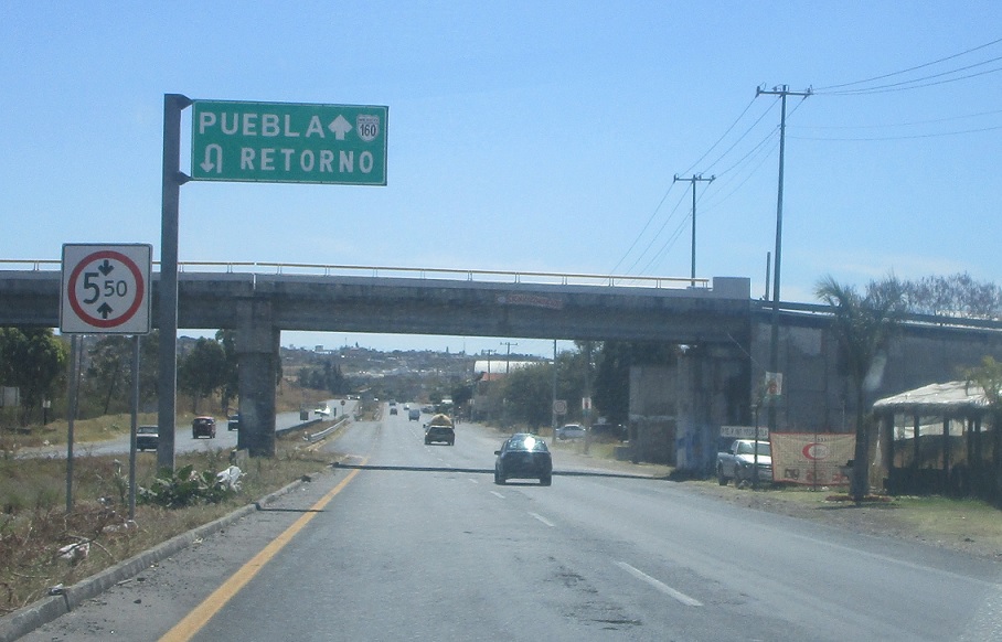
Location: MX-160 and MX-115, Cuautla
U-turn ahead to get back on 115.
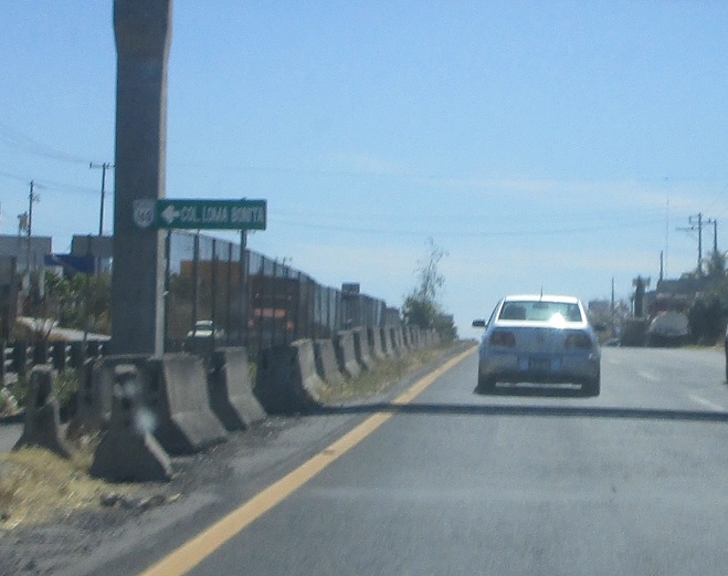
Location: MX-160 and Cll. Loma Bonita, Cuautla
Turn left for a random local road.

Location: MX-160 and Bl. 5 de Mayo, Cuautla
As we get to the east side of town, exit ahead to head back into downtown Cuautla.
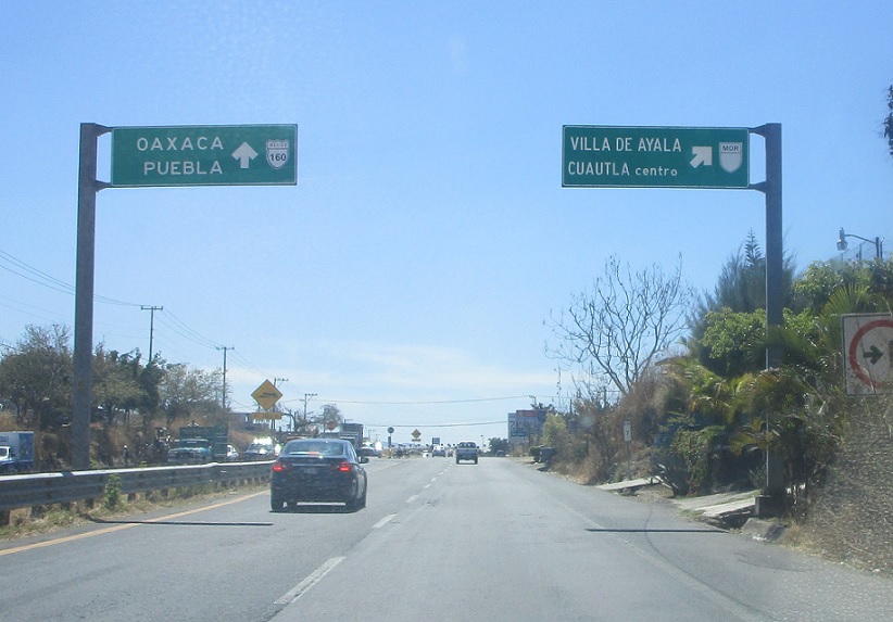
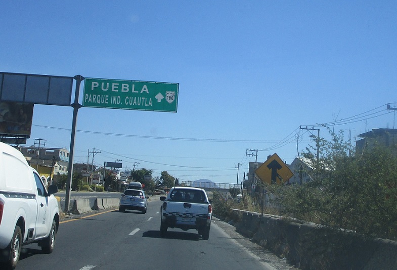
Location: MX-160 and Bl. 5 de Mayo, Cuautla
Stay on 160 for Oaxaca and Puebla.
Location: MX-160 and Bl. 5 de Mayo, Cuautla
Follow an unnumbered state highway into downtown Cuautla.
Location: MX-160 and Bl. 5 de Mayo, Cuautla
Reassurance sign after the downtown Cuautla exit.
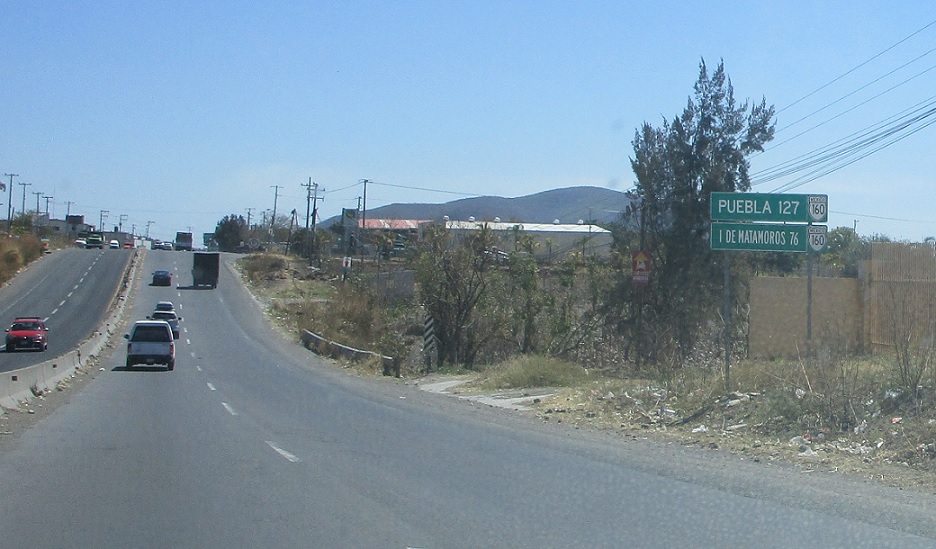
Location: MX-160 and Bl. 5 de Mayo, Cuautla
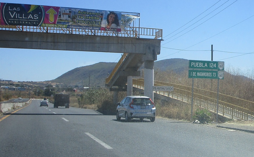
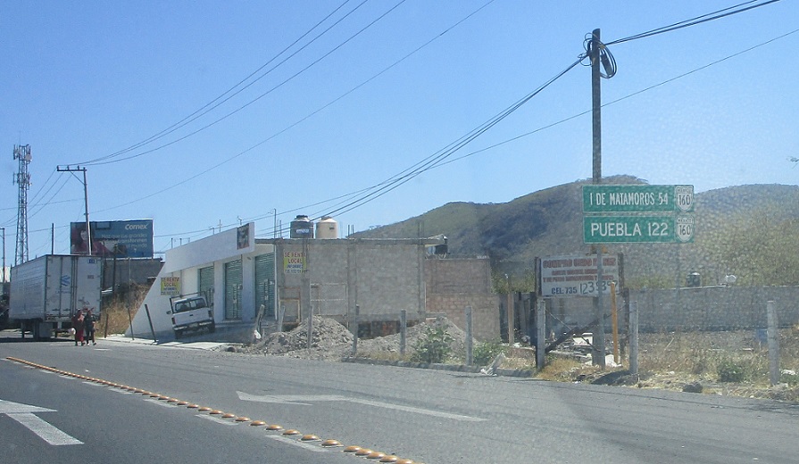
127 km to Puebla.

Location: MX-160 and Cll. Juan Escutlia, Mpo. Cuautla
Reassurance shield shortly thereafter.
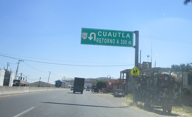
Location: MX-160 and Cll. Juan Escutlia, Mpo. Cuautla
Keep left to u-turn to Cuautla.
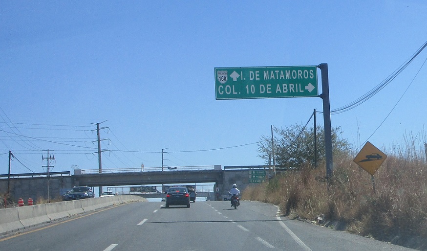
Location: MX-160 and Carr. Col. 10 de Abril, Mpo. Cuautla
Keep right to head to the April 10th Colonia.
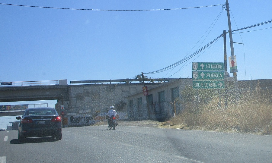
Location: MX-160 and Carr. Col 10 de Abril, Mpo. Cuautla
Stay straight to stay on 160.
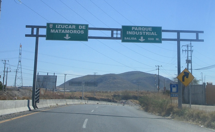
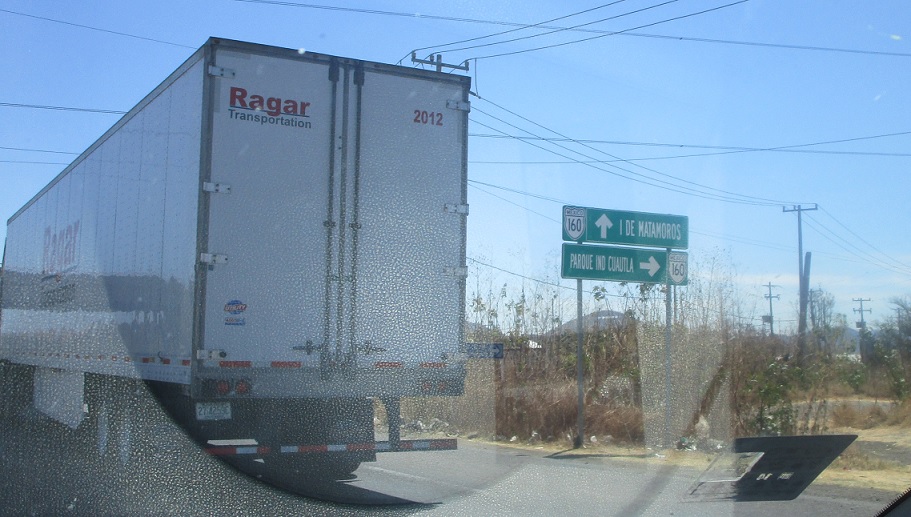
Location: MX-160 and Parque Industrial, Mpo. Cuautla
Exit ahead for an industrial park.
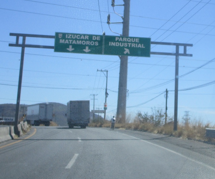
Location: MX-160 and Parque Industrial, Mpo. Cuautla
Exit for the industrial park.
Location: MX-160 and Parque Industrial, Mpo. Cuautla
Ground-level signage.
Location: MX-160 and Parque Industrial, Mpo. Cuautla
Mileage sign after the industrial park exit.
Location: MX-160 and Parque Industrial, Mpo. Cuautla
Reassurance shield.

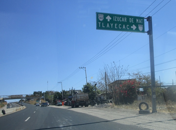
Location: MX-160 and Carr. Tlayecac, Mpo. Ayala
Exit right for a spur into Tlayecac.
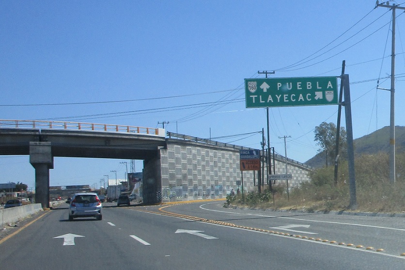
Location: MX-160 and Carr. Tlayecac, Mpo. Ayala
Exit for Tlayecac.
Location: MX-160 and Carr. Tlayecac, Mpo. Ayala
Mileage sign after the Tlayecac exit.
Location: MX-160 and Carr. Tlayecac, Mpo. Ayala
A couple kilometers later we’ll approach the Tlayecac highway again, which serves as a business loop of sorts for Tlayecac.
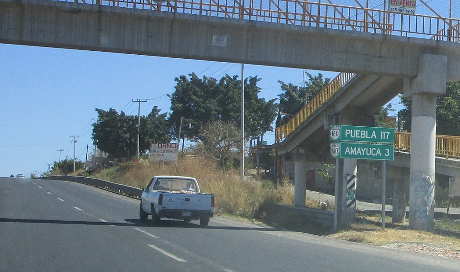
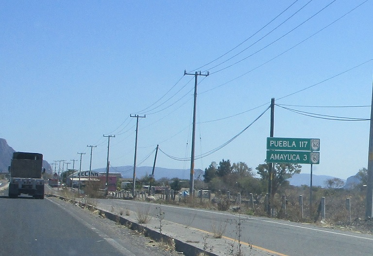
Location: MX-160 and Carr. Tlayecac, Mpo. Ayala
Three kilometers to Amayuca.
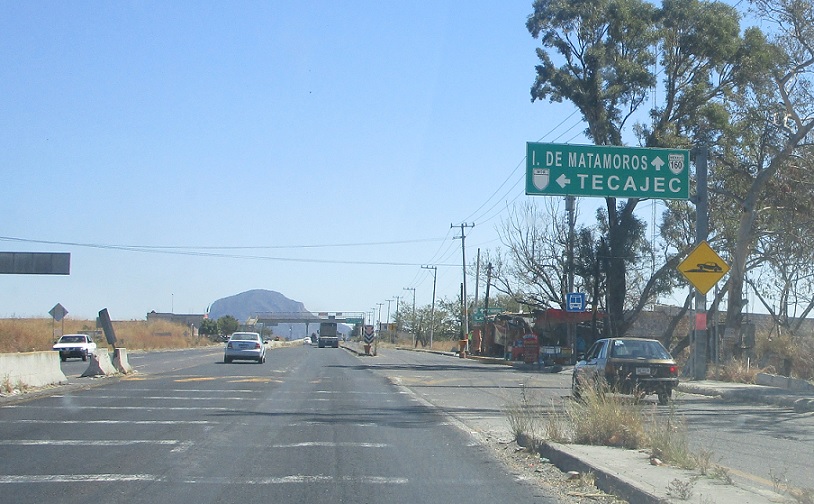
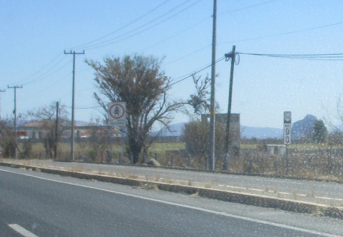
Location: MX-160 and Carr. Tecajec, Mpo. Temoac
Turn left for an unnumbered state highway to Tecajec.
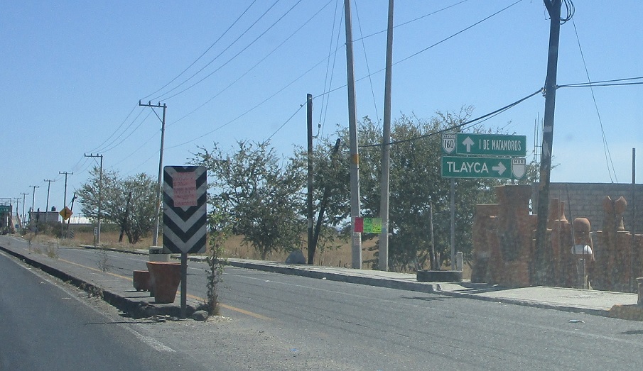
Location: MX-160 and Carr. Tlayca, Mpo. Temoac
Just after that, turn right for a highway to Tlayca.

Location: MX-160 and Carr. Tlayca, Mpo. Temoac
Overhead signage at the junction.
Location: MX-160 and Carr. Tlyaca, Mpo. Temoac
A couple kilometers later we’re still three kilometers from Amayuca…
Location: MX-160 and Carr. Tlyaca, Mpo. Temoac
Reassurance shield after the Tlayca junction.
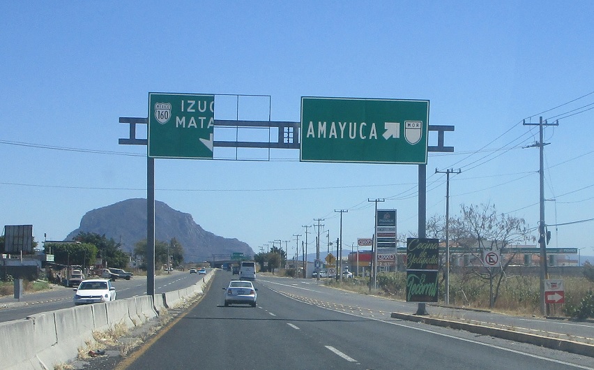
Location: MX-160 and Bl. Morelos y Pavon, Amayuca
Shortly thereafter, exit to head into Amayuca.
Location: MX-160 and Bl. Morelos y Pavon, Amayuca
Exit for an unnumbered state highway into Amayuca.
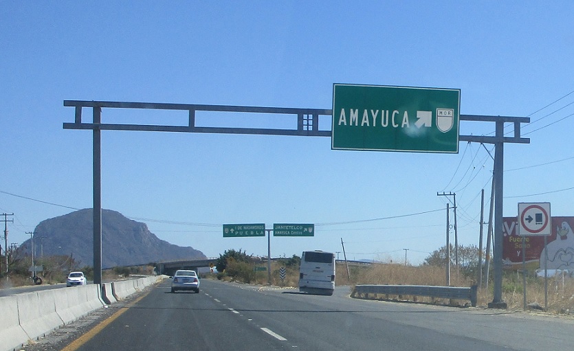
Location: MX-160 and Bl. Morelos y Pavon, Amayuca
Exit to head into Amayuca.
Location: MX-160 and Bl. Morelos y Pavon, Amayuca
Stay on 160 for Puebla.
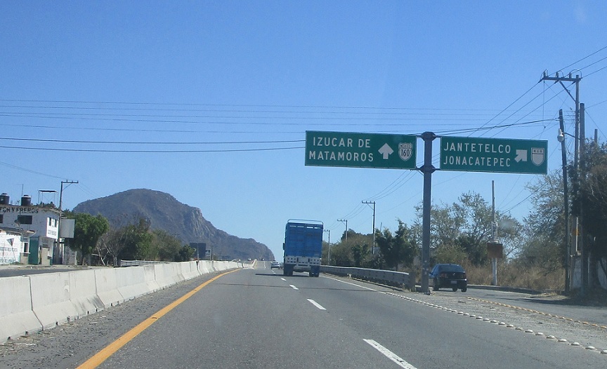
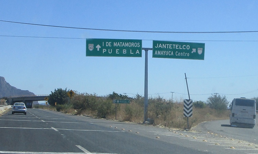
Location: MX-160 and Cll. Aldama, Amayuca
Exit for an unnumbered state highway to Jantetelco and Jonacatepec.
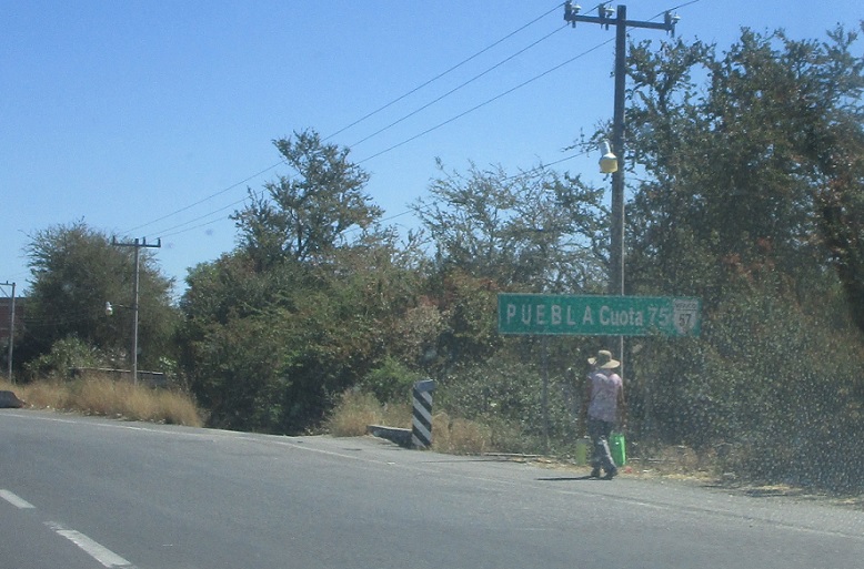
Location: MX-160 and Cll. Aldama, Amayuca
I have no idea why this is signed as Mexico 57.
Location: MX-160 and MOR-438D, Mpo. Jantetelco
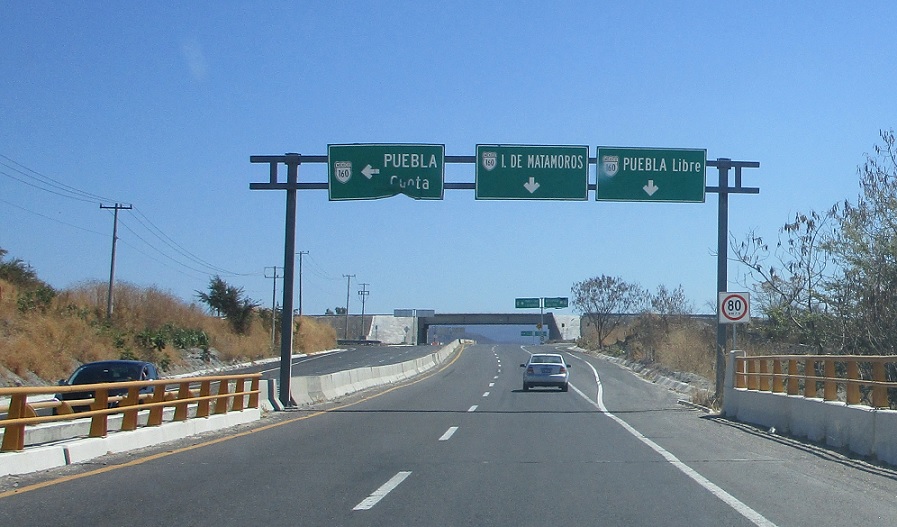
Shortly thereafter we’ll approach Highway 438D, though, which heads up to Puebla.
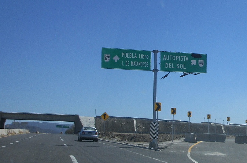
Location: MX-160 and Autopista del Sol, Mpo. Jantetelco
Exit for a soon-to-be-opened (as of February 2018) connection to the Mexico 95D Autopista del Sol.

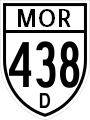
Location: MX-160 and MOR-438D, Mpo. Jantetelco
Exit for Morelos (not federal) 438D, which heads to Puebla. Stay on 160 for Oaxaca.
 E to PUE State Line
 N to MOR-2

