
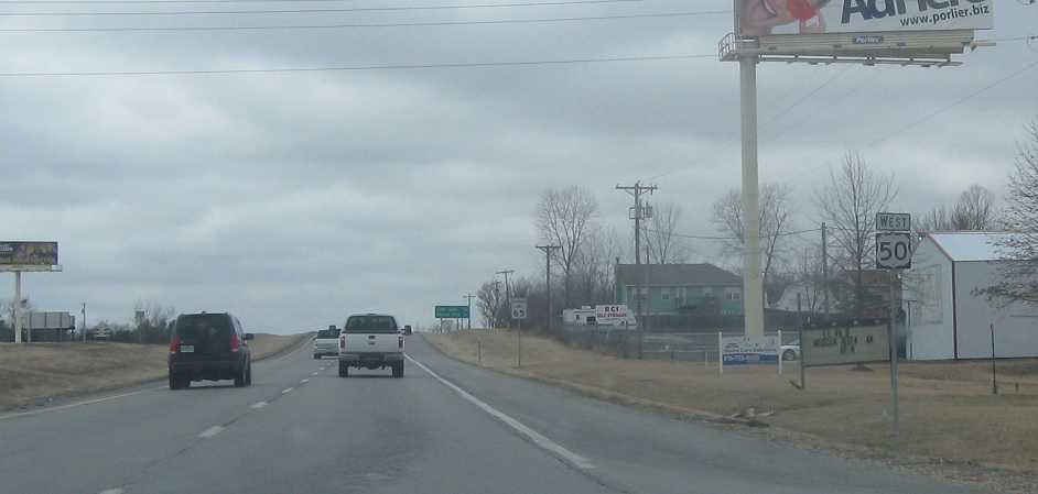
Location: US-50 and Route 131, Johnson Cty
Reassurance shield after 131 as we head out of Pittsville.
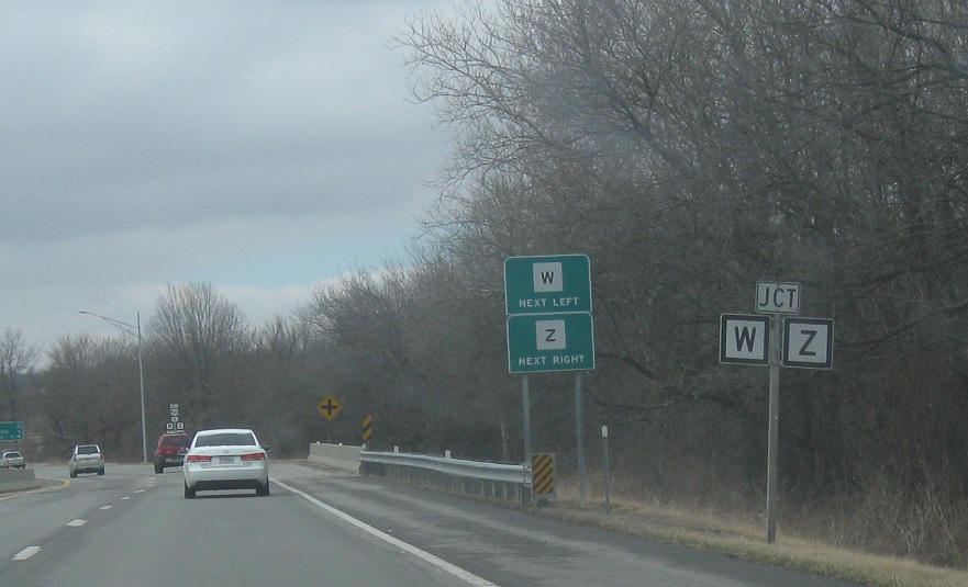
Location: US-50 and Route W, Johnson Cty
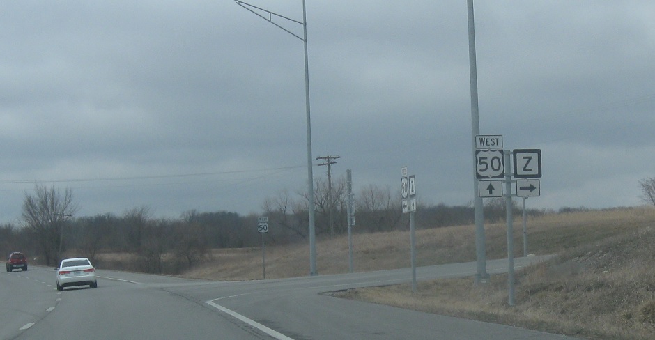
A little over a mile later, we’ll approach Routes W and Z.
Location: US-50 and Route W, Johnson Cty
At the intersection, turn left for W and right for Z.
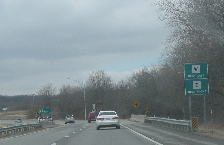
Location: US-50 and Route W, Johnson Cty
Turn left for W and right for Z.
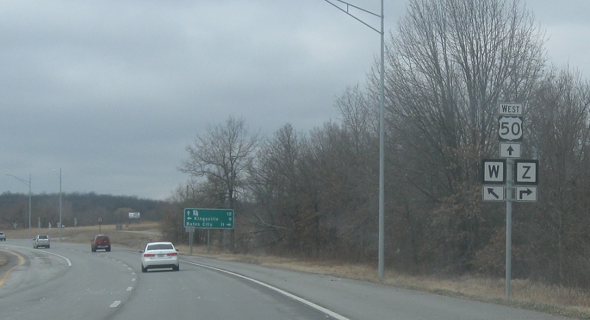
Location: US-50 and Route W, Johnson Cty
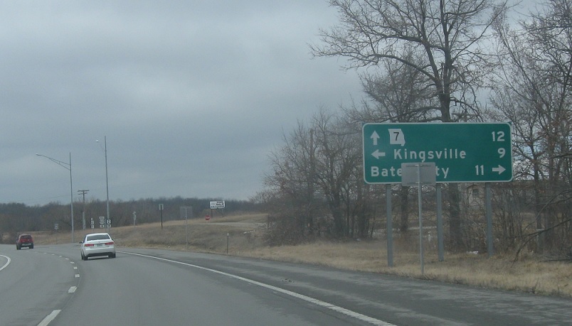
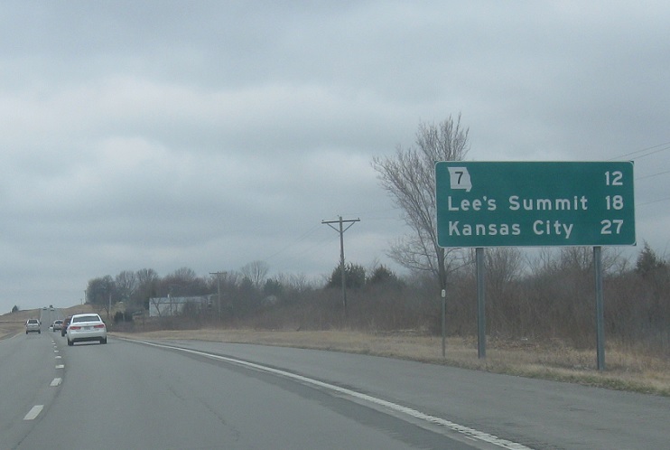
Stay on US-50 for Route 7.
Location: US-50 and Route W, Johnson Cty
Turn right for Z.
Location: US-50 and Route W, Johnson Cty
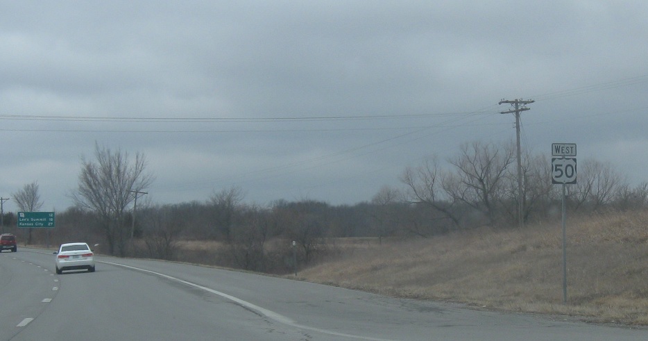
Reassurance shield after W.
Location: US-50 and Route W, Johnson Cty
12 miles to Route 7.

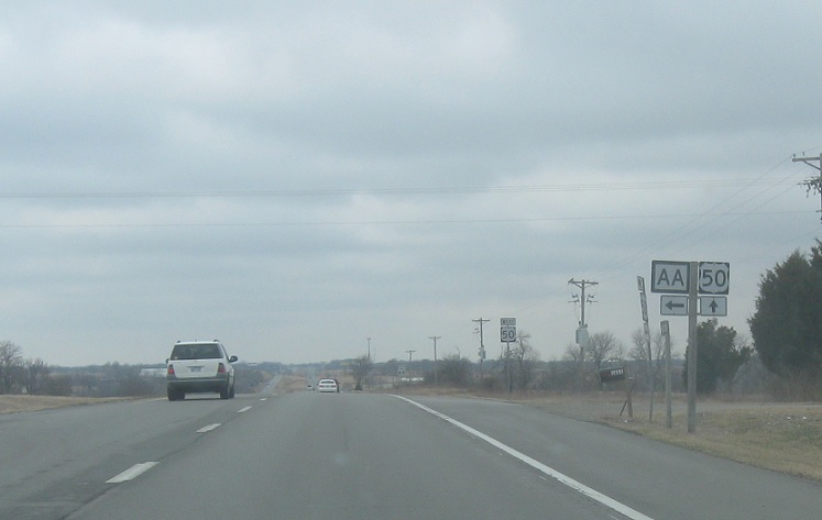
Location: US-50 and Route AA, Johnson Cty
A couple miles later, we’ll approach Route AA.
Location: US-50 and Route AA, Johnson Cty
Turn left for AA south.
Location: US-50 and Route AA, Johnson Cty
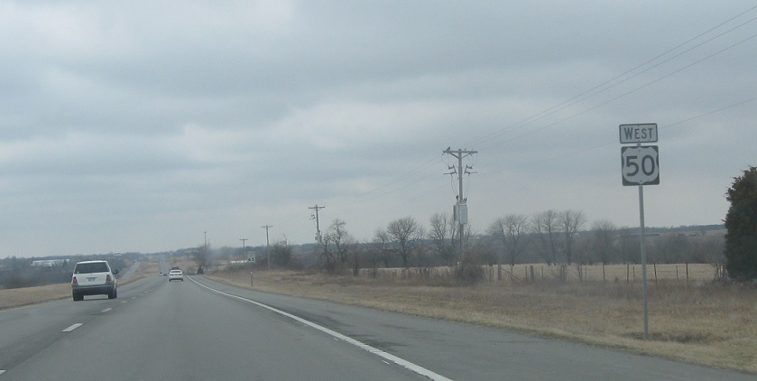
Reassurance shield after AA.
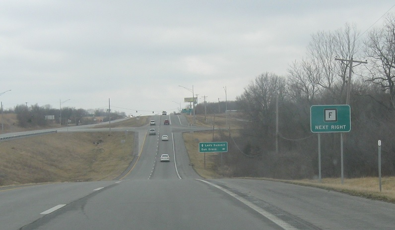
Location: US-50 and Route F, Jackson Cty
As we enter Jackson County, we’ll approach Route F.

Location: US-50 and Route F, Jackson Cty
Turn right for Route F.
Location: US-50 and Route F, Jackson Cty
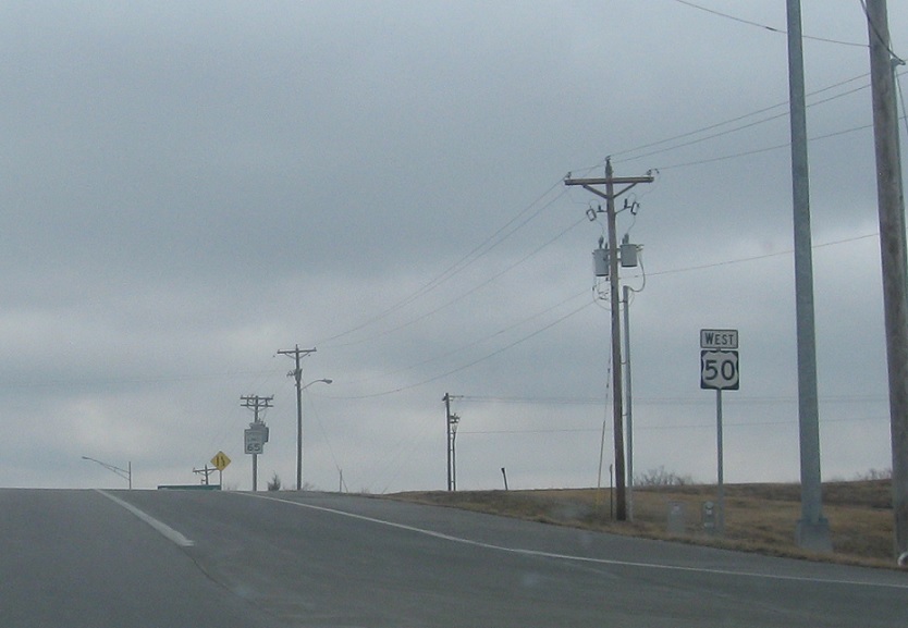
Reassurance shield after F.
Location: US-50 and Route F, Jackson Cty
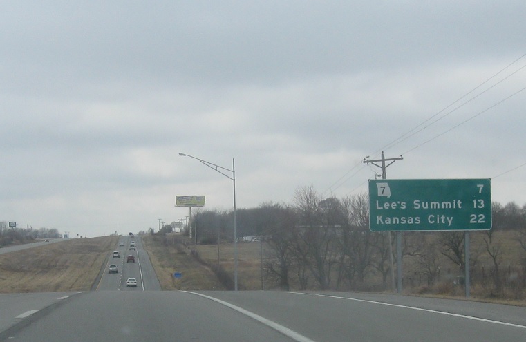
After F, we’re 7 miles from Route 7.
Location: US-50 and Bynum Rd, Jackson Cty
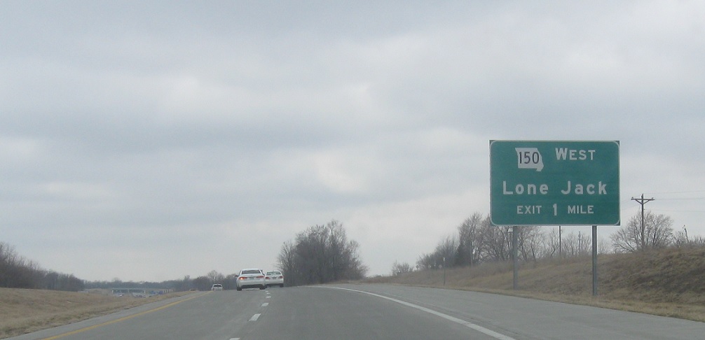
Shortly after that, we’ll approach Route 150.
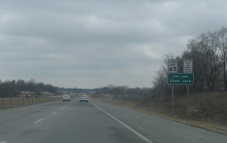
Location: US-50 and Bynum Rd, Lone Jack
The 150 interchange is located in the Lone Jack city limits.
Location: US-50 and Bynum Rd, Lone Jack
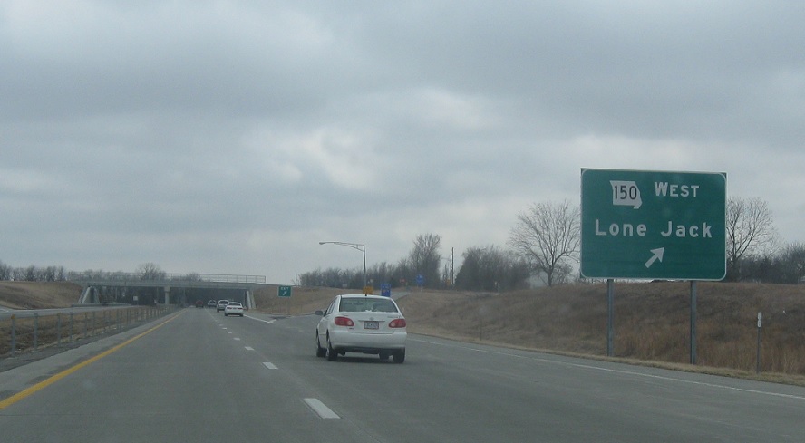
Exit for 150 west, which serves Lone Jack and then continues west along the southern edge of the KC exurbs until it hits Kansas.

 W to MO-7
 N to I-70/US-40, S to MO-58
