
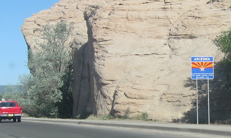
AMP: 476
Location: SR 264 and SR-264, Window Rock
As we enter Arizona, the route transitions into Arizona 264 as we enter Window Rock, the governmental seat of Navajo Nation
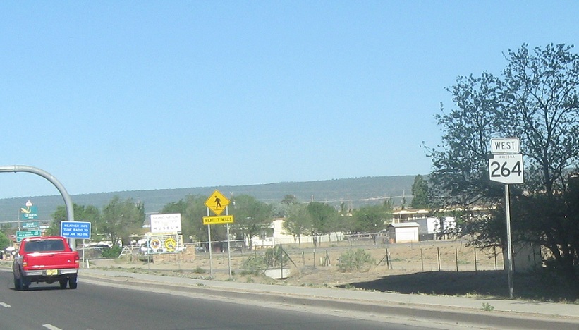
AMP: 476
Location: SR 264 and SR-264, Window Rock
Reassurance shield as we enter Arizona
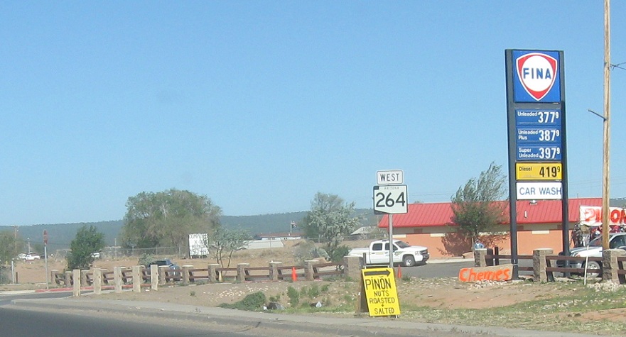
AMP: 475
Location: SR 264 and Main St, Window Rock
Reassurance shield as we pass what may be the only Fina station in Arizona
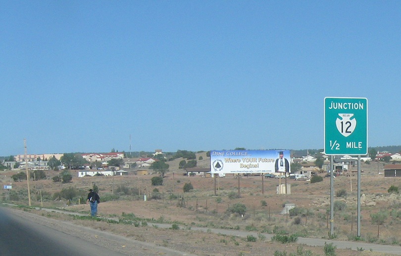
AMP: 474
Location: SR 264 and Lagoon Rd, Window Rock
As we approach the main governmental facilities, we’ll approach BIA 12
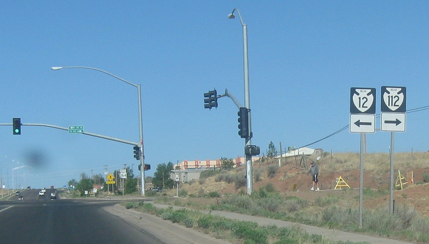
AMP: 473
Location: SR 264 and IR 12, St Michaels
As we transition from Window Rock into St. Michaels, we’ll approach IRs 12 and 112. Turn left for 12 south and right for 112 north
AMP: 473
Location: SR 264 and IR 12, St Michaels
Reassurance shield after BIA 12
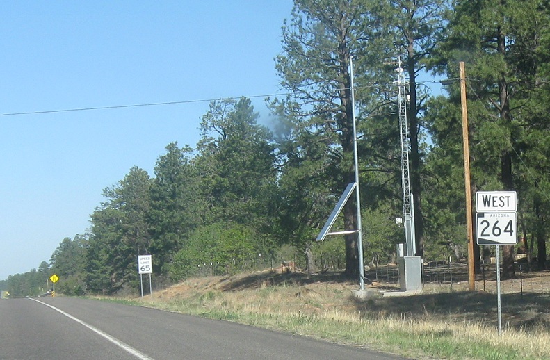
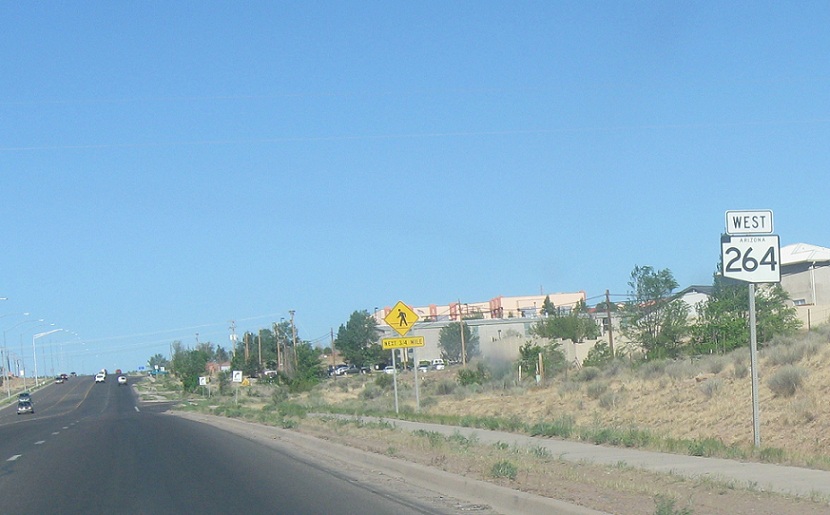
AMP: 466
Location: SR 264 and Sawmill Rd, Apache Cty
Reassurance shield as we head out of St Michael’s/Window Rock
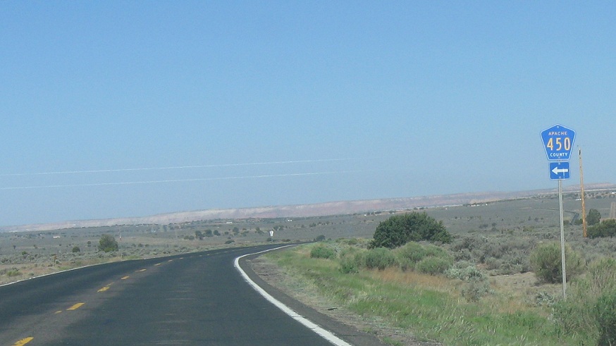
AMP: 464
Location: SR 264 and CR 450, Apache Cty
As we come down onto a plain, we’ll approach CR 450
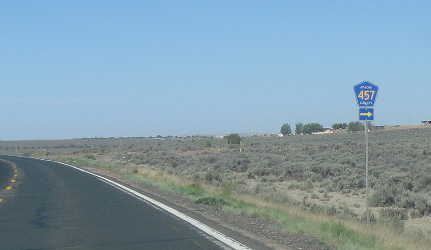
AMP: 451
Location: SR 264 and CR 457, Apache Cty
Turn right for CR 457
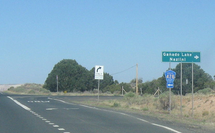
AMP: 448
Location: SR 260 and CR 428, Apache Cty
As we near Ganado, turn right for Ganado Lake/BIA 27 and left for CR 428
AMP: 447
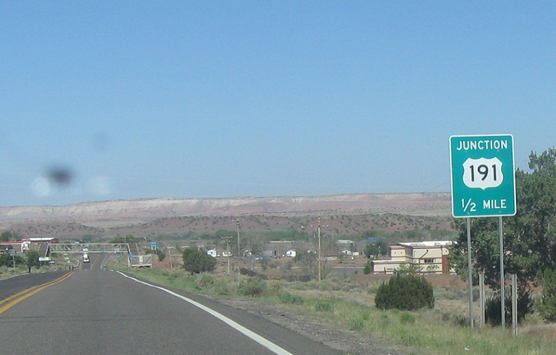
Location: SR 264 and CR 292, Ganado, Apache Cty
As we enter unincorporated Ganado, we’ll approach US-191
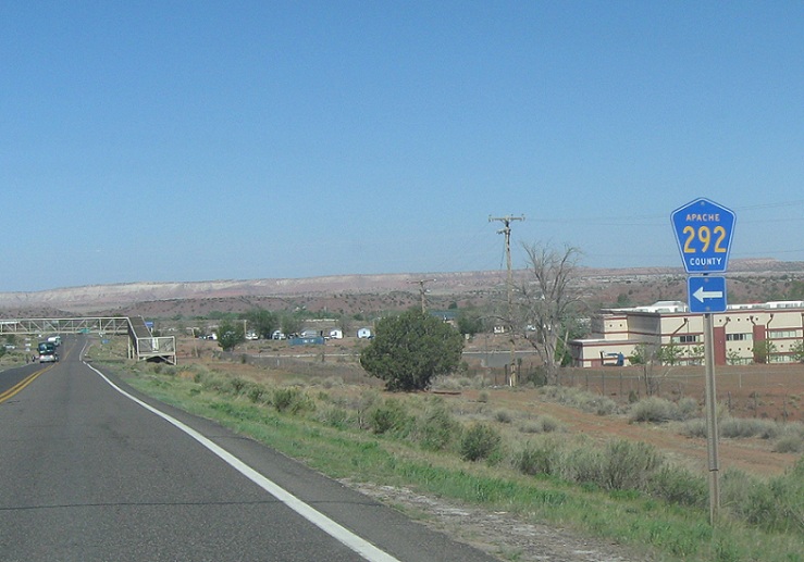
AMP: 447
Location: SR 264 and CR 292, Apache Cty
Turn left for CR 292, which heads down to an airstrip as we approach a terribly pointless pedestrian overpass
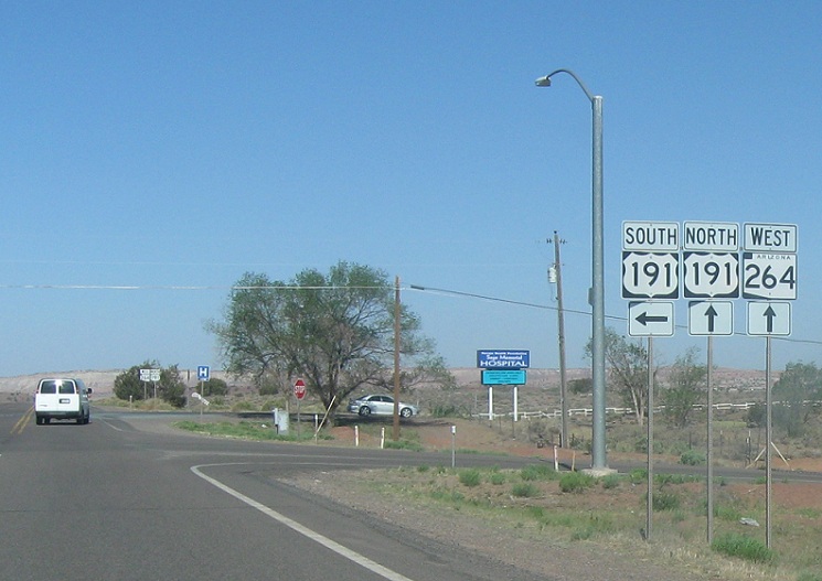
AMP: 447
Location: SR 264 and US-191, Ganado, Apache Cty
Stay straight for 191 north/264 west. Turn left for 191 south. The road will maintain 264’s mileposts.


