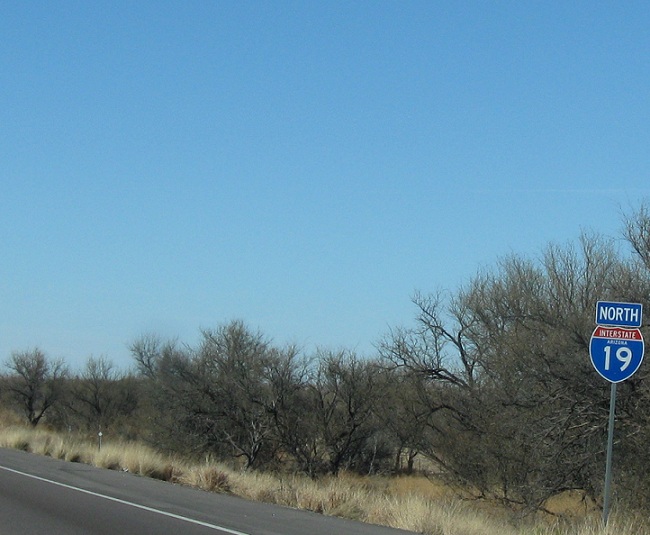
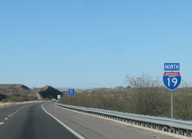
AKP: 13
Location: I-19 and Ruby Rd, Santa Cruz Cty
Reassurance shield after the SR 289 interchange
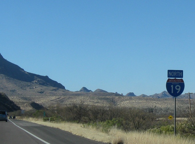
AKP: 18
Location: I-19 and Rio Rico Dr, Santa Cruz Cty
Reassurance shield after the Rio Rico Dr interchange
AKP: 25
Location: I-19 and Palo Parado Rd, Santa Cruz Cty
Reassurance shield after the Palo Parado Rd interchange
AKP: 29
Location: I-19 and Rock Corral Rd, Santa Cruz Cty
Reassurance shield after the exit for Tumacacori
AKP: 35
Location: I-19 and Tubac Rd, Santa Cruz Cty
Reassurance shield after the Tubac Rd interchange
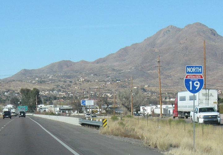
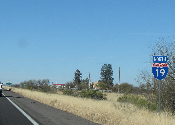
AKP: 38
Location: I-19 and Chavez Crossing Rd, Santa Cruz Cty
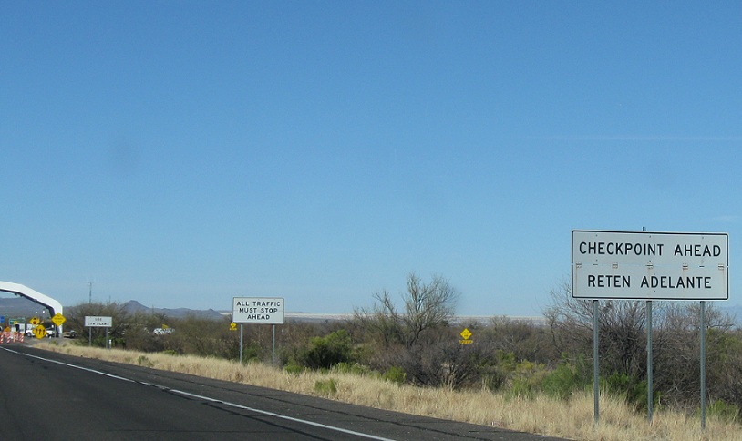
Just after the Chavez Crossing Rd, we’ll approach a Border Patrol checkpoint. Note that the signage is in miles
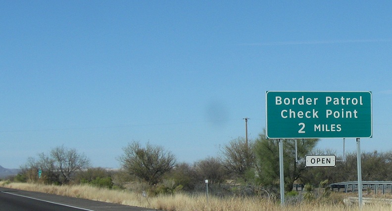
AKP: 39
Location: I-19 and Chavez Crossing Rd, Santa Cruz Cty
1 1/2 miles (1200 meters) to the Border Patrol checkpoint. You can see it in the distance- that bigass white thing in the distance is a canopy over the checkpoint
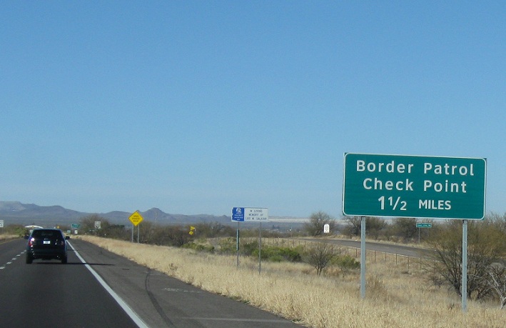
AKP: 41
Location: I-19 and Chavez Crossing Rd, Santa Cruz Cty
The checkpoint is coming up, or as the Spanish-speakers would say, Reten Adelante. I didn’t get a shot of the actual checkpoint. As a US citizen, passing through is a breeze. It took less than 10 seconds, they just ran a dog around the car real quick.
AKP: 43
Location: I-19 and Agua Linda Rd, Santa Cruz Cty
Reassurance shield after the Agua Linda Rd interchange
AKP: 48
Location: I-19 and Arivaca Rd, Pima Cty
Reassurance shield after the Arivaca Rd interchange as we enter Pima County
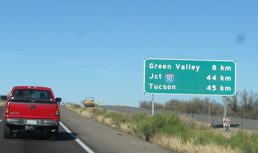
AKP: 56
Location: I-19 and Canoa Rd, Pima Cty
After the Canoa Rd interchange, we’re 44 kilometers from our junction with I-10
AKP: 64
Location: I-19 and Continental Rd, Green Valley, Pima Cty
A few kilometers later, we’ll enter unincorporated Green Valley and pass the Continental Rd interchange
AKP: 66
Location: I-19 and Esperanza Rd, Green Valley, Pima Cty
Reassurance shield after the Esperanza Rd interchange
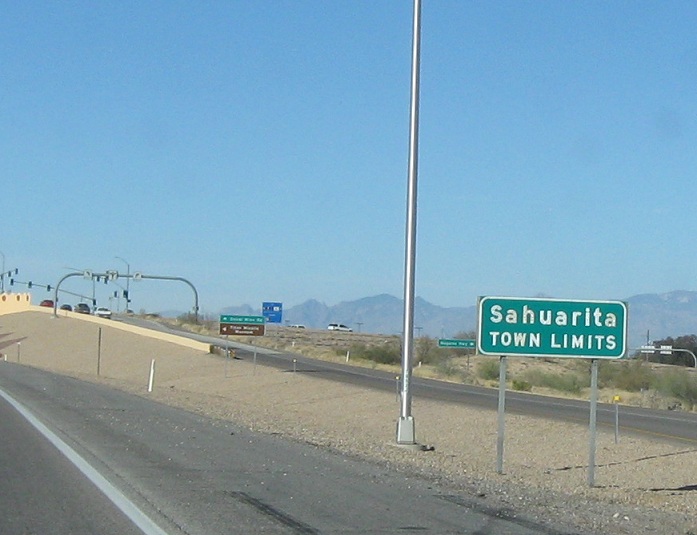
AKP: 69
Location: I-19 and Duval Mine Rd, Sahuarita
At the Duval Mine Rd interchange, we’ll enter the city of Sahuarita
AKP: 70
Location: I-19 and Duval Mine Rd, Sahuarita
Reassurance shield after the Duval Mine Rd interchange
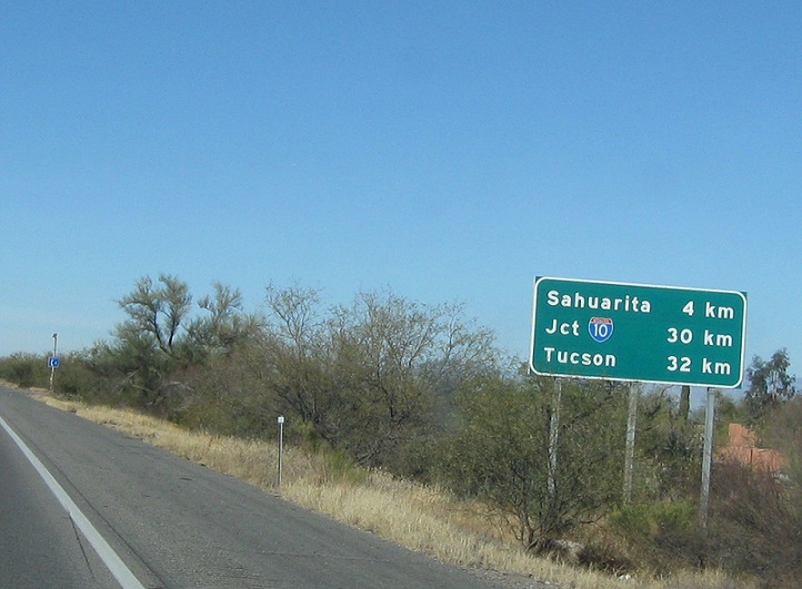
AKP: 70
Location: I-19 and Duval Mine Rd, Sahuarita
30 km to I-10, 4 km to the heart of Sahuarita
AKP: 75
Location: I-19 and Sahuarita Rd, Sahuarita
Reassurance shield after the Sahuarita Rd interchange as we head out of the Sahuarita (little cactus) area
AKP: 80
Location: I-19 and Pima Mine Rd, Pima Cty
Reassurance shield after the Pima Mine Rd interchange
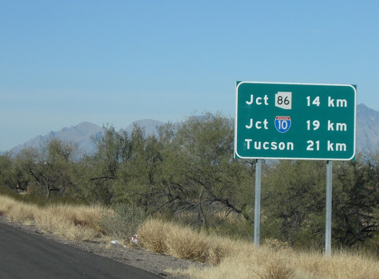
AKP: 80
Location: I-19 and Pima Mine Rd, Pima Cty
14 km to SR 86, 19 km to I-10
AKP: 88
Location: I-19 and Papago Rd, Pima Cty
Reassurance shield after the Papago Rd interchange
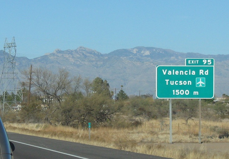
AKP: 93
Location: I-19 and Valencia Rd, Tucson
As we enter Tucson, we’ll approach Valencia Rd and the Tucson Airport exit. I put this sign in because it’s one of two examples of a meters ahead sign signed with “m” instead of “meters”
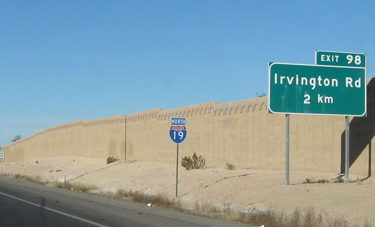
AKP: 95
Location: I-19 and Valencia Rd, Tucson
2 km to Irvington Rd
AKP: 97
Location: I-19 and Irvington Rd, Tucson
1 km to Irvington Rd, 3 km to SR 86/Ajo Way
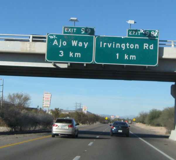
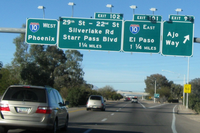
AKP: 98
Location: I-19 and Irvington Rd, Tucson
Just after the Irvington Way exit, we’ll get our first advance signage for I-10, which is 3 km off. I’m not sure where the I-10 shield went. There is no shield for SR 86/Ajo either
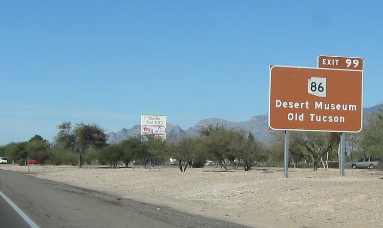
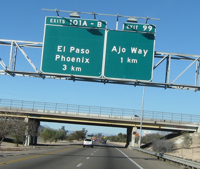
AKP: 99
Location: I-19 and Ajo Way, Tucson
This is the only mention of SR 86 being off exit 99. Exit 99 serves the Desert Museum and Old Tucson
AKP: 99
Location: I-19 and Ajo Way, Tucson
Boo. Signage switches to mileage from here on out. 1.25 miles (2 km) to I-10 east. We’ll want to keep left for I-10 west. SR 86 exits, heads a long way west through the desert to Ajo.