
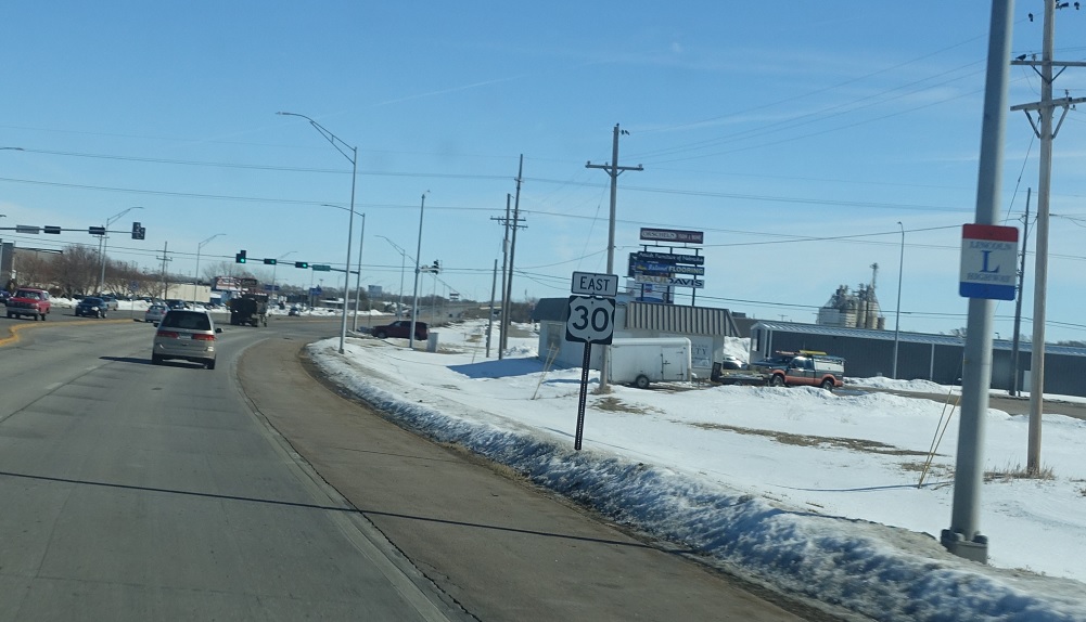
Location: US-30 and US-281, Grand Island
Reassurance shield after the US-281 junction for both US-30 and the Lincoln Highway.
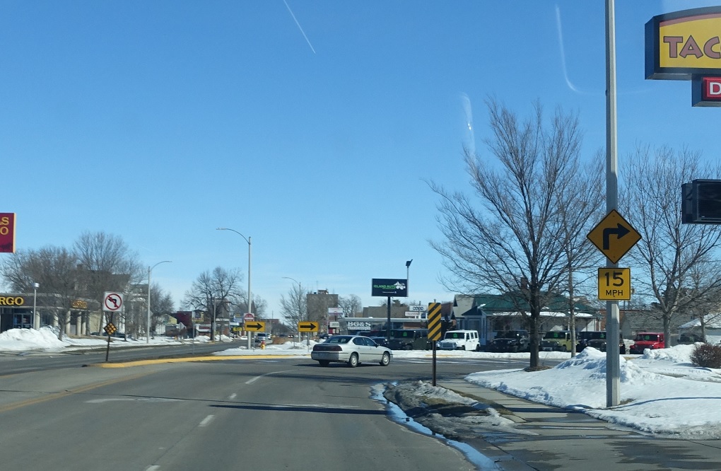
Location: 2nd St and Lincoln Ave, Grand Island
Several blocks later, we’ll approach downtown Grand Island and US-30 splits onto a one way couplet
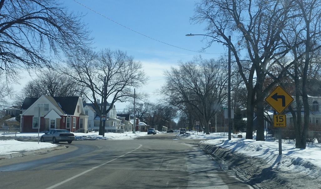
Location: Lincoln Ave and 3rd St, Grand Island
Keep left a block later to stay on 30 east.
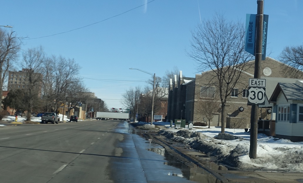
Location: 3rd St and Clark St, Grand Island
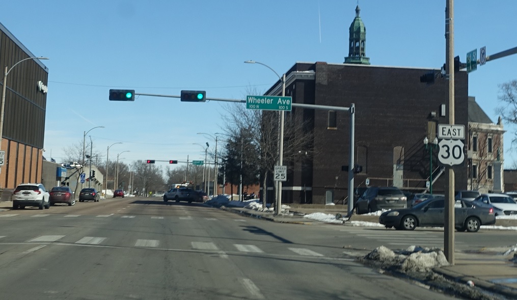
Reassurance shield as we enter the one-way couplet.
Location: 3rd St and Cedar St, Grand Island
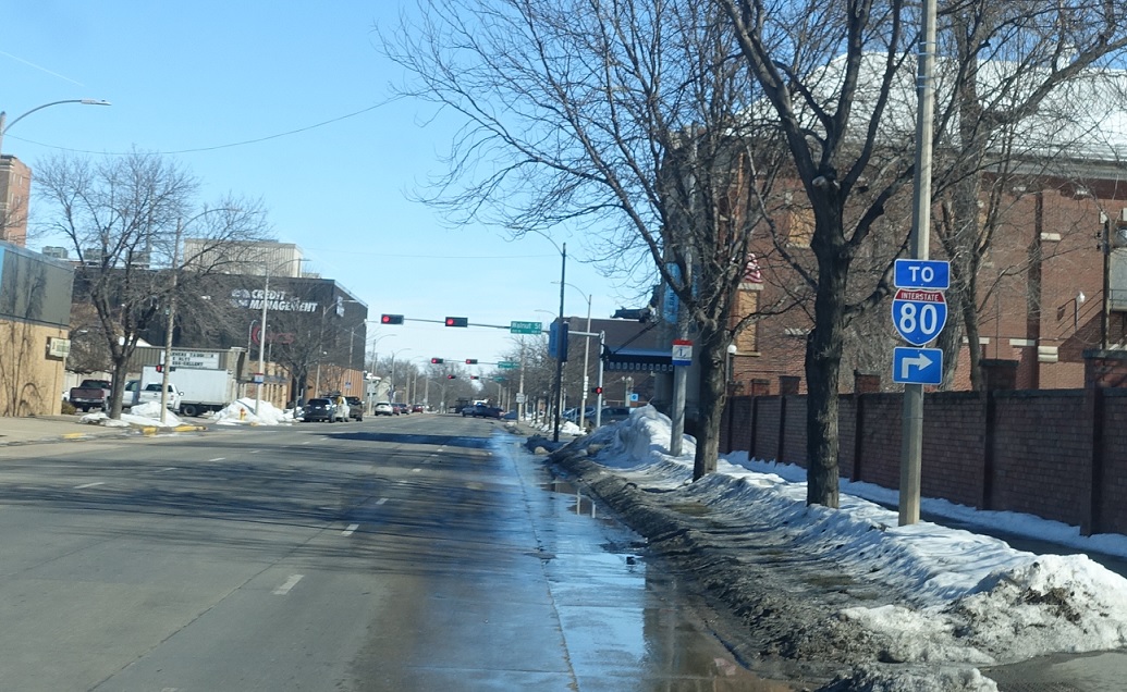
Follow Walnut Street to I-80.
Location: 3rd St and Wheeler Ave, Grand Island
Reassurance shield a few blocks later.

Location: US-30 and Shady Bend Rd, Hall Cty
Shortly thereafter, we’ll head out of Grand Island. Omaha emerges as a control city.
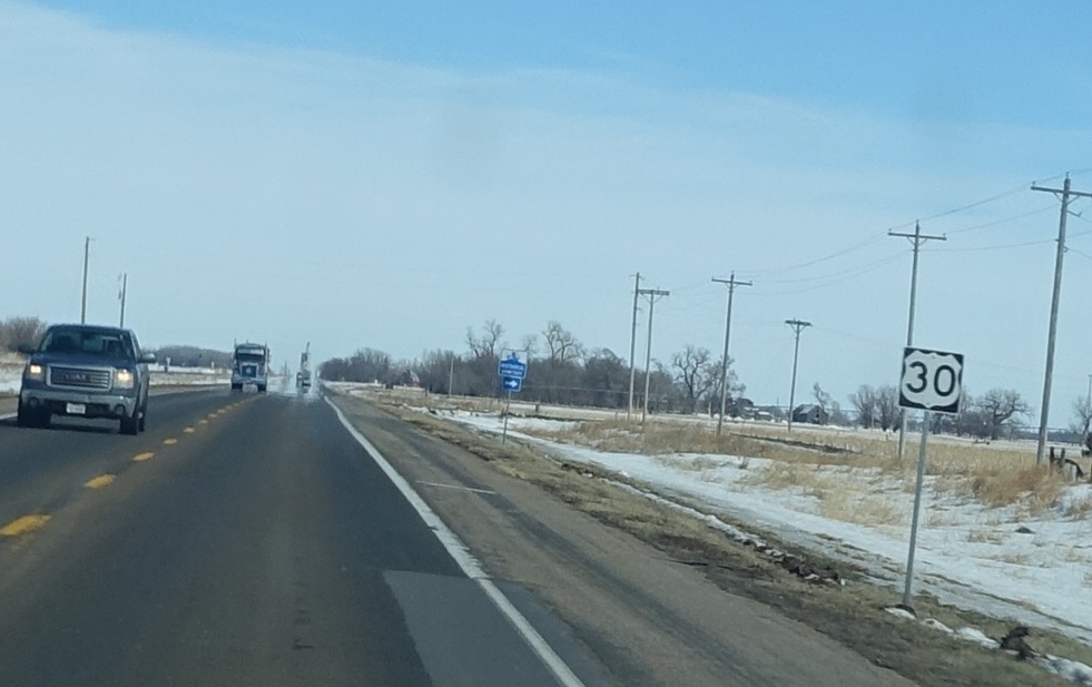
Location: US-30 and Gunbarrel Rd, Merrick Cty
Reassurance shield as we cross into Merrick County.
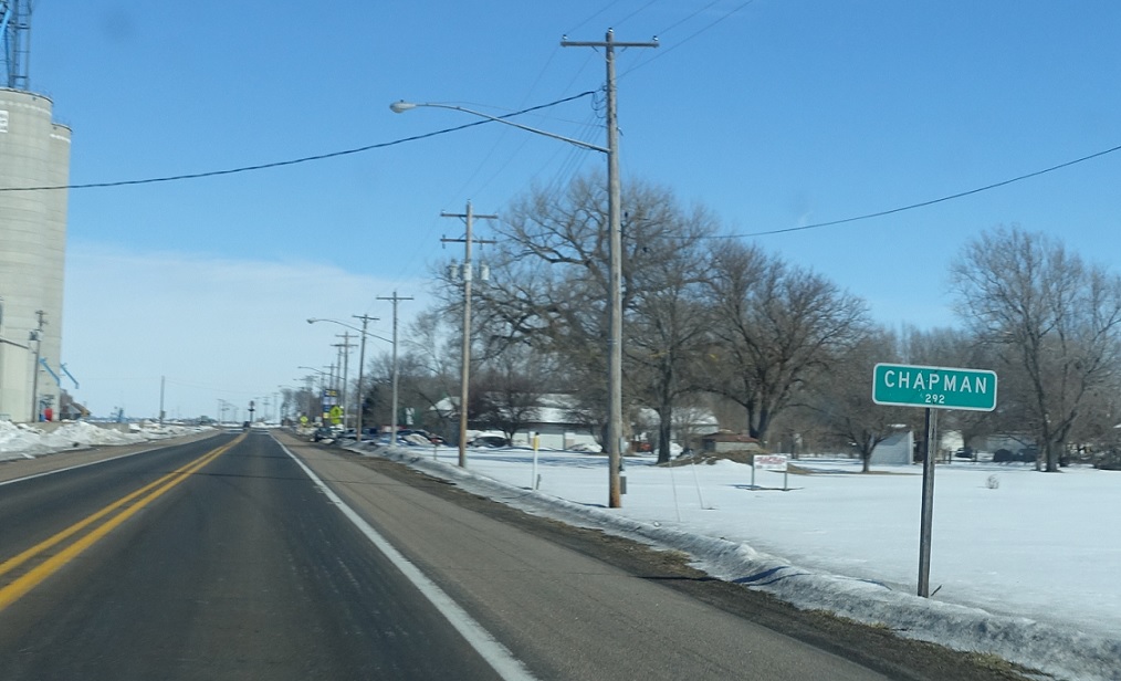
Location: US-30 and 9th St, Chapman
A few miles later, we’ll enter Chapman.

Location: US-30 and Archer Rd, Merrick Cty
Reassurance shield as we head out of Chapman.
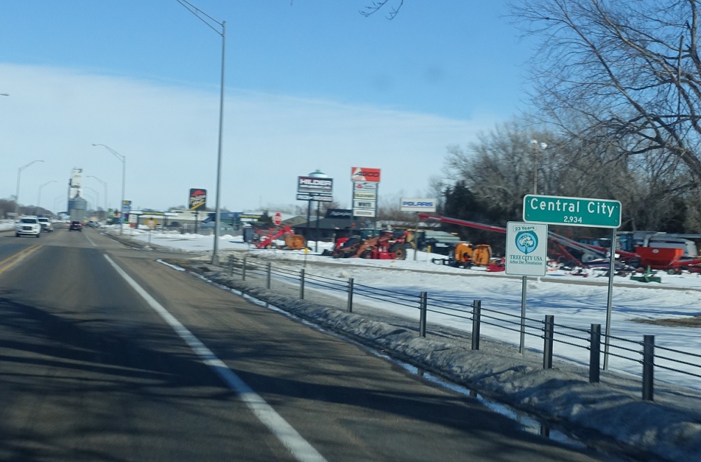
Location: G St and Fairgrounds Rd, Central City
A few miles later, we’ll enter Central City.
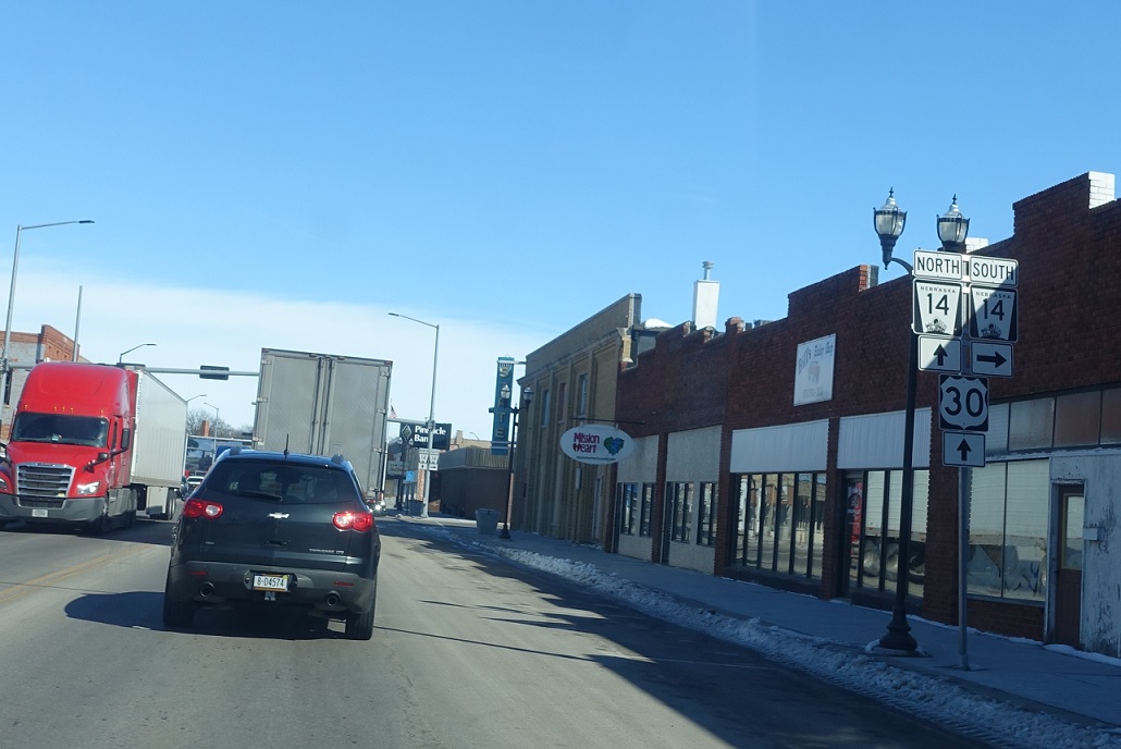
Location: G St and C Ave, Central City
US-30 approaches N-14 at an acute angle – so turn right at B Avenue to follow a local street south a block and a half to N-14 south.
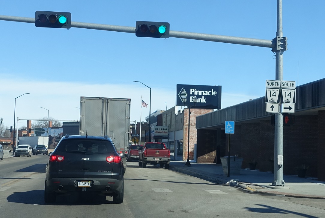
Location: G St and C Ave, Central City
Turn right to connect to N-14 south.
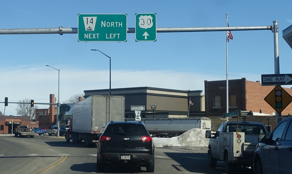
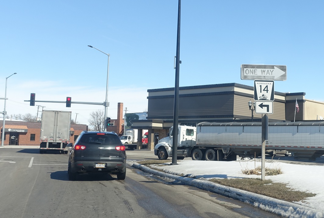
Location: G St and B Ave, Central City
Turn left in a block for N-14 north. Keep right for US-30 east.
Location: G St and A Ave, Central City
Turn left for N-14 north. You can also turn right here for N-14 south.

 N to NE-92, S to NE-66
 N to NE-2, S to US-34/NE-2
 E to US-34/US-281, W to US-281
