
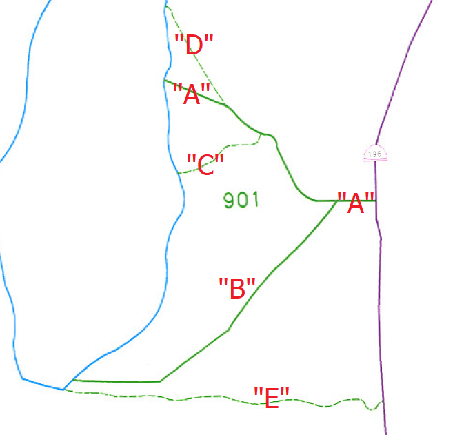
Note: No official documentation calls this Segment “A” – this is a term used for purposes of categorization/organization on this website. State Route 901 is a Statewide Public Safety Highway defined here and this is a map of how I’ve designated the segments for purposes of this website.
Location: SR-901 A and SR-901 B, Tooele Cty
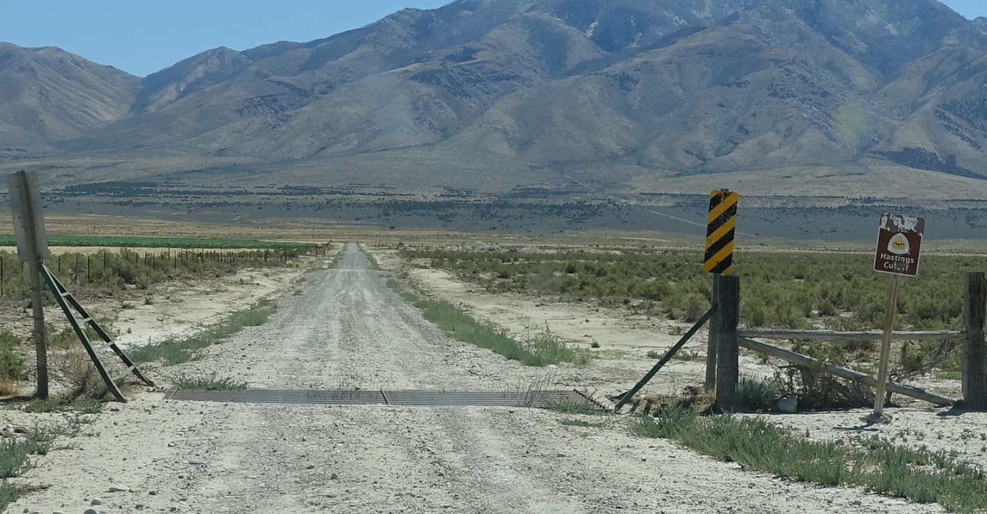
Evidently we’re crossing the Hastings Cutoff of the California Trail.
Location: SR-901 A and SR-196, Tooele Cty
Shortly thereafter, we’ll approach SR-196. Turn right for 196 south to Dugway and left for 196 north to I-80. The SR-901 complex ends.

 S to SR-199, N to I-80
