
Note: No official documentation calls this Segment “C” – this is a term used for purposes of categorization/organization on this website. State Route 901 is a Statewide Public Safety Highway defined here and this is a map of how I’ve designated the segments for purposes of this website.
Location: SR-901 C and Cedar Mountain Rd, Tooele Cty
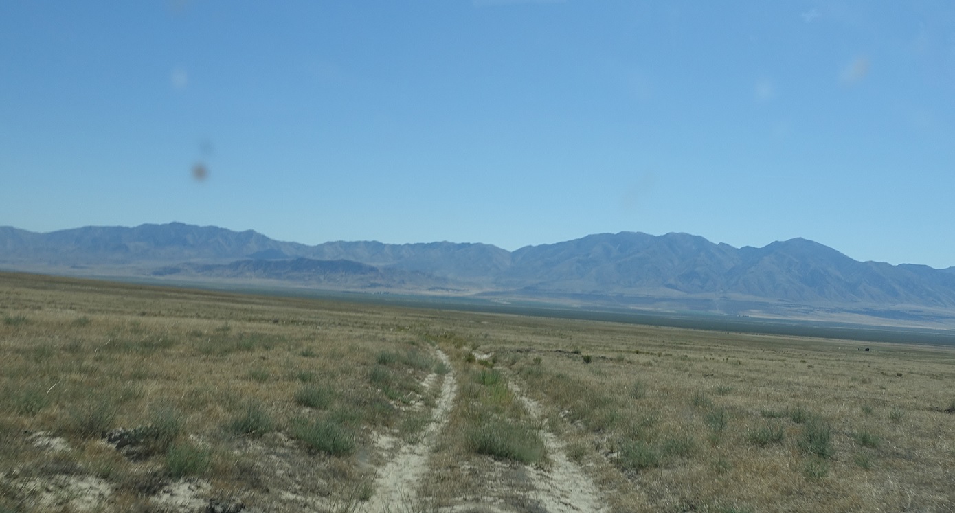
This branch of SR-901 is the only remaining branch that both exists and is barely a road. Here we go! We’re starting from the Cedar Mountain Rd side and heading towards SR-196.
Location: SR-901 C, Tooele Cty
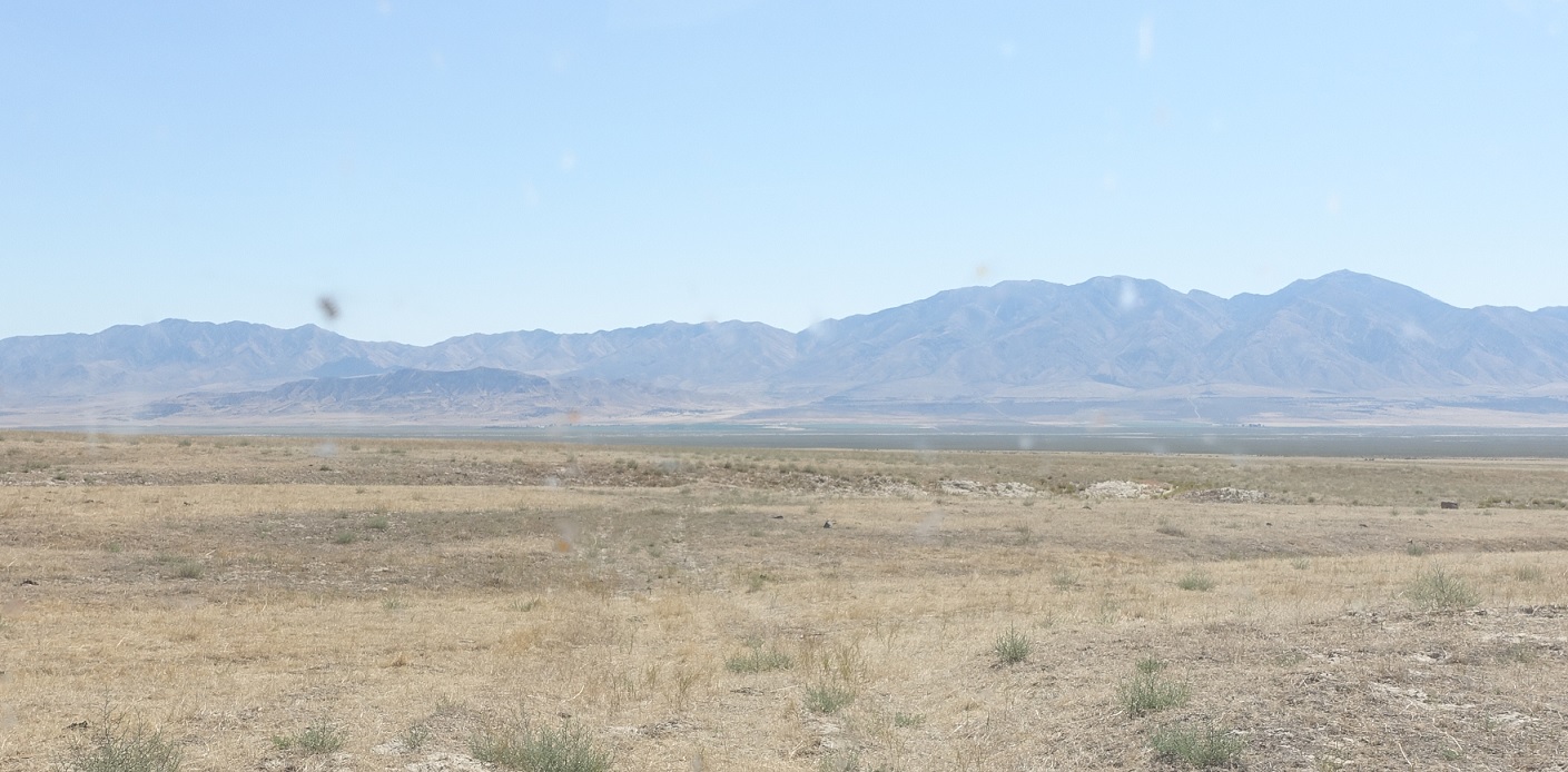
It’s about 5.5 miles long and is at times pretty tough to identify.
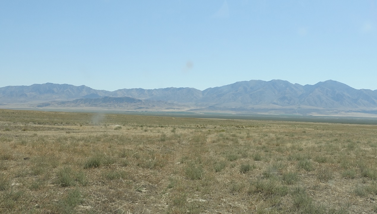
Location: SR-901 C, Tooele Cty
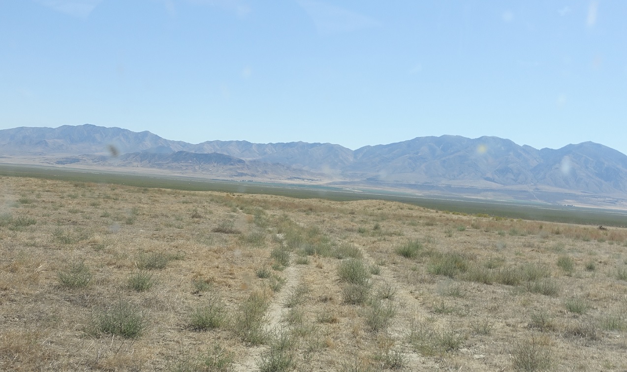
It is pretty though!
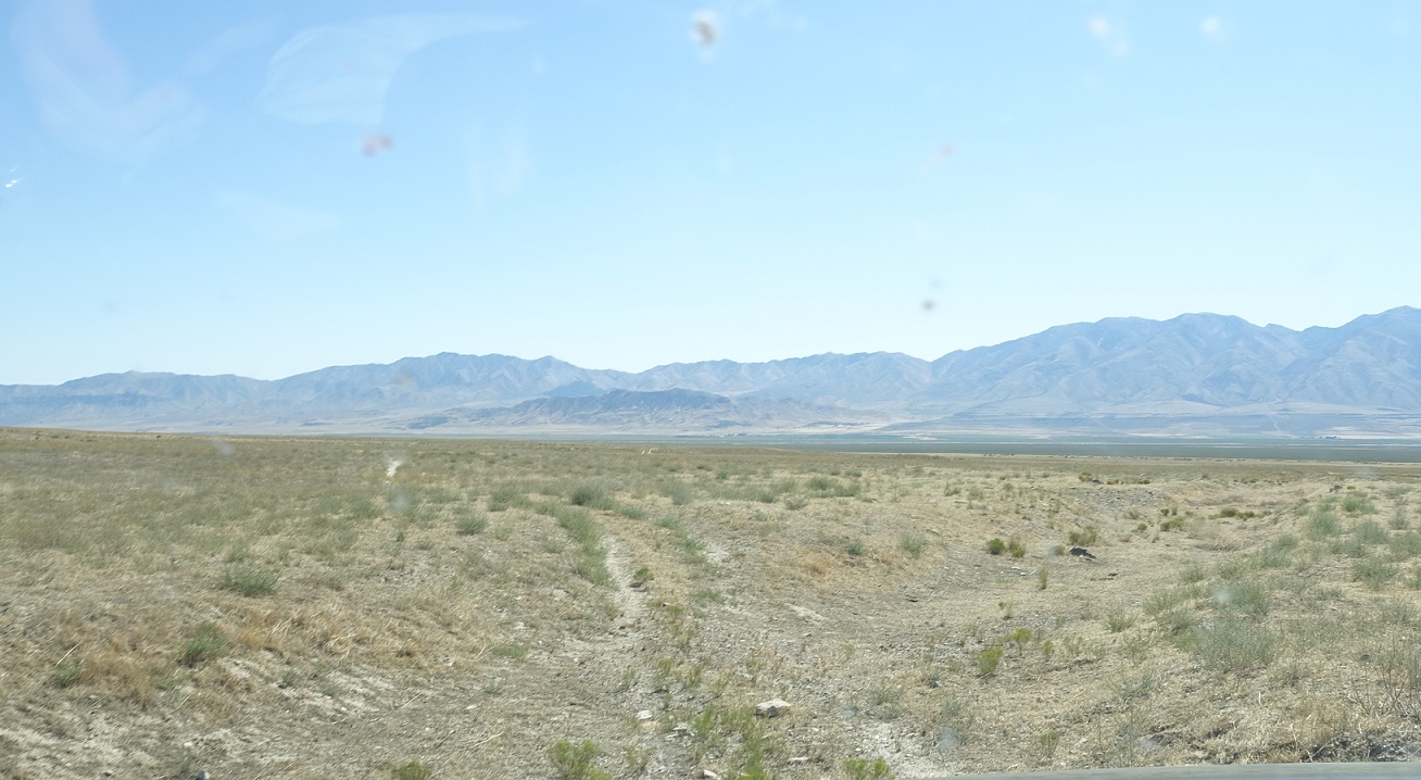
Location: SR-901 C, Tooele Cty
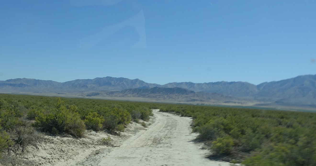
And crosses a couple washes. Nothing too steep, but also nothing you’d want to do without some amount of ground clearance.

Location: SR-901 C, Tooele Cty
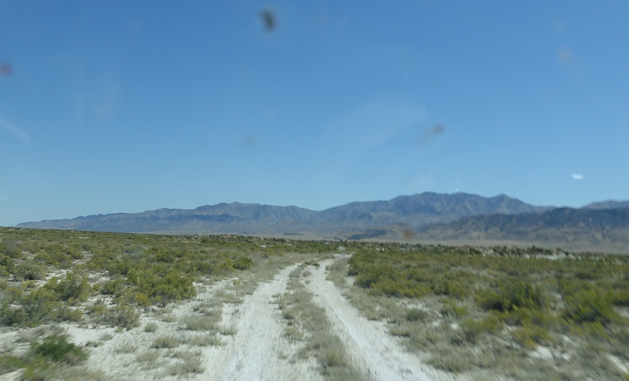
After that wash, it starts to become a semi-visible road again!
Location: SR-901 C, Tooele Cty
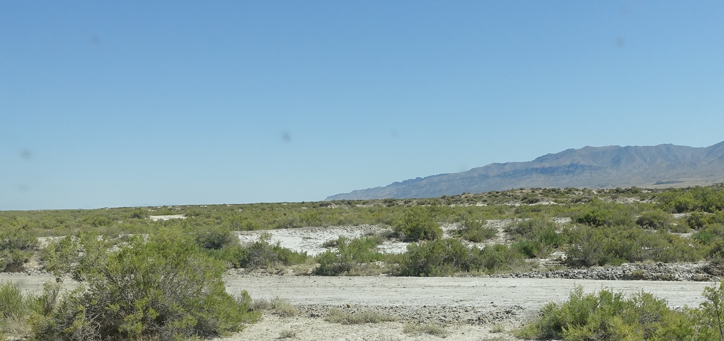
Or not.
Location: SR-901 C, Tooele Cty
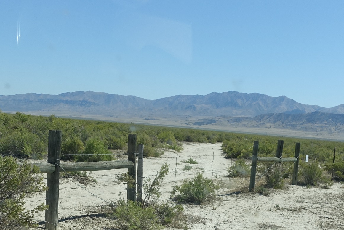
But we do randomly come up to a cow gate, which we’ll need to go through, so we know we’re on the right track.
Location: SR-901 C, Tooele Cty
After the gate.
Location: SR-901 C, Tooele Cty
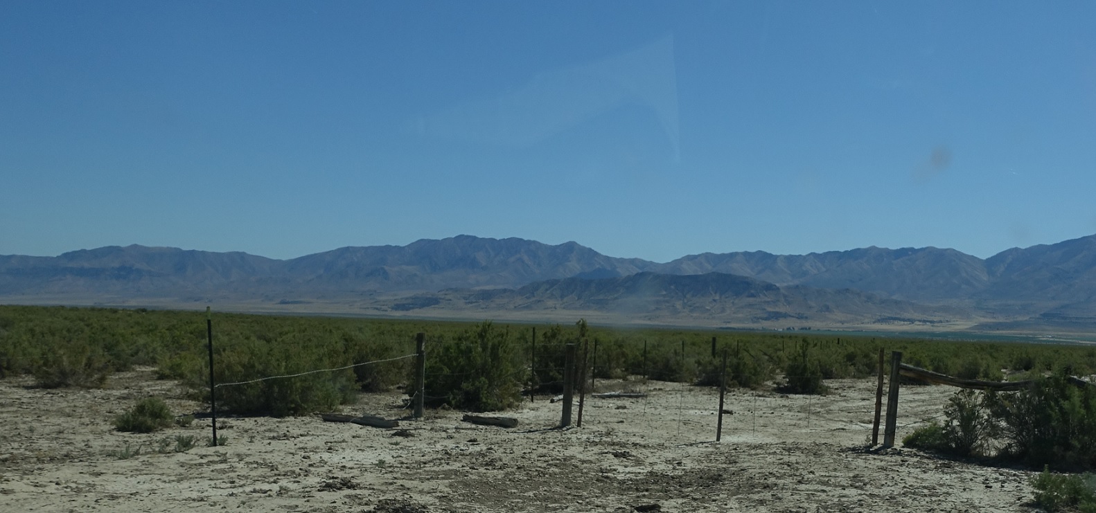
About a half mile later we’ll approach another gate to get out of this cow area.
Location: SR-901 C, Tooele Cty
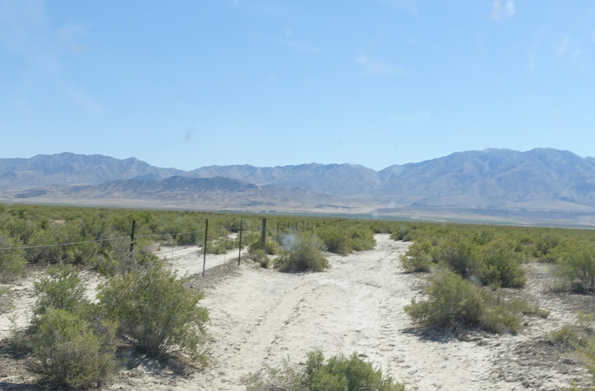
From there on, it’s a pretty normal dirt road!
Location: SR-901 C, Tooele Cty
But not all that great.
Location: SR-901 C and SR-901 A, Tooele Cty
And it still doesn’t get an actual approach with the main road. This segment ends at the main SR-901 “A” segment. Turn left to head west and right to head east back to SR-196.

