
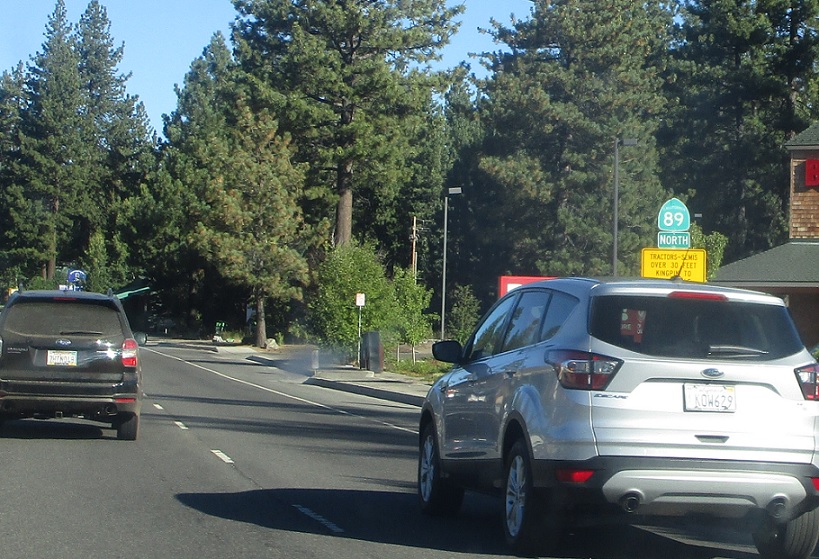
APM: 8
Location: Emerald Bay Rd and Lake Tahoe Blvd, South Lake Tahoe
Reassurance shield after the US 50 split.
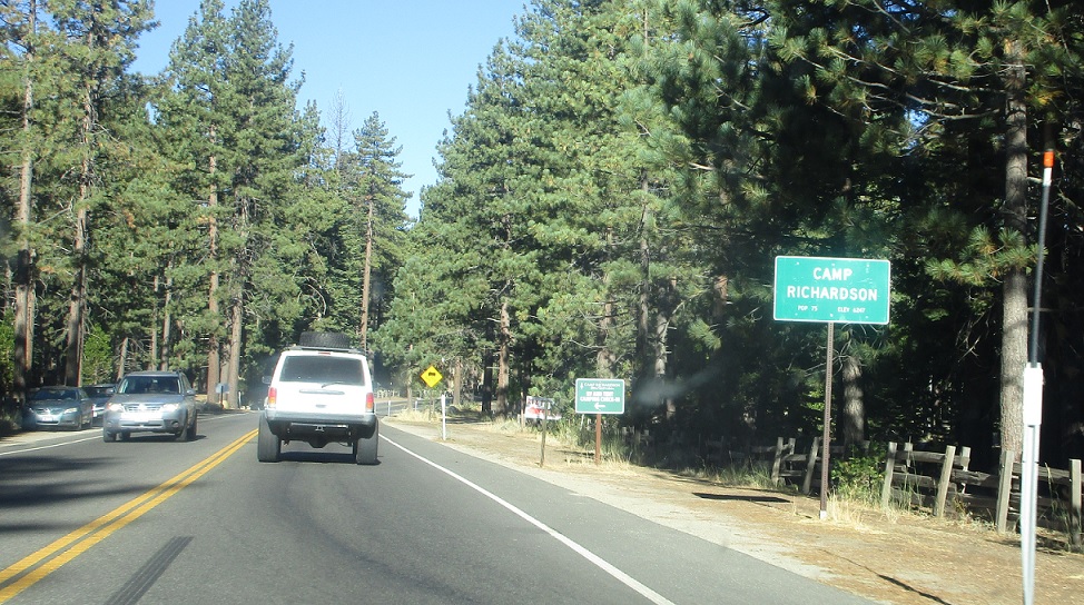
APM: 10
Location: SR 89 and Pope Beach Rd, Camp Richardson, El Dorado Cty
A mile later we’ll enter Camp Richardson.
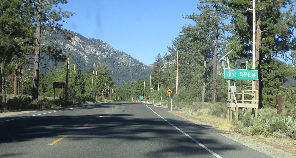
APM: 11
Location: SR 89 and Heritage Way, El Dorado Cty
SR 89 is open up to the I-80 corridor.
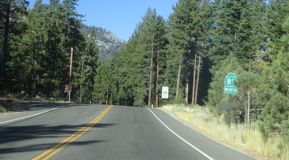
APM: 13
Location: SR 89 and Cascadia Rd, El Dorado Cty
SR 89 is slow going up the west side of Lake Tahoe.
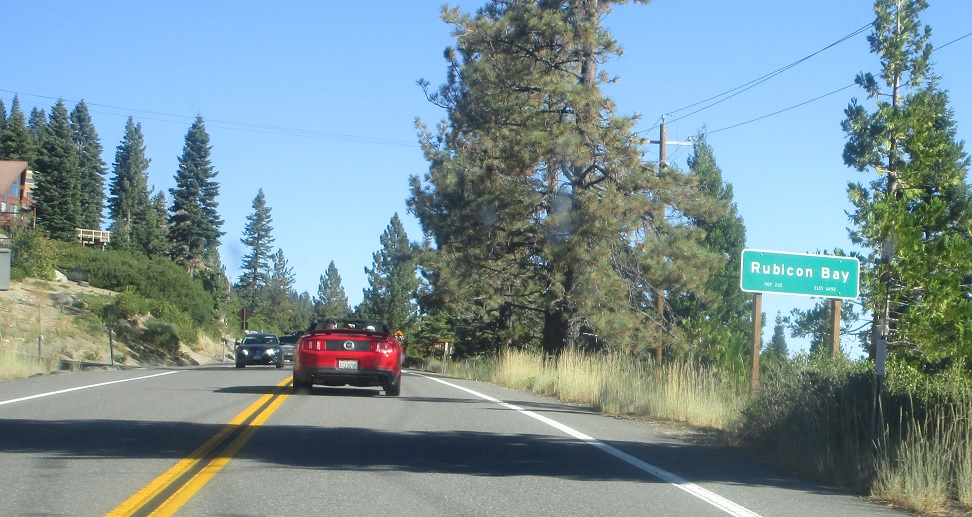
APM: 22
Location: SR 89 and Scenic Dr, Rubicon Bay, El Dorado Cty
A few miles later we’ll pass by Rubicon Bay.
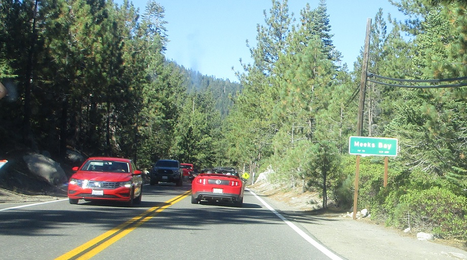
APM: 24
Location: SR 89 and Valley View Dr, Meeks Bay, El Dorado Cty
Then we’ll head into Meeks Bay.
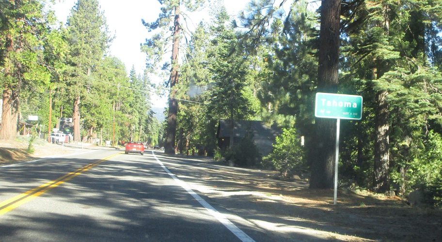
APM: 27
Location: SR 89 and Wilson Ave, Tahoma, El Dorado Cty
Then we’ll head into Tahoma as we leave El Dorado County.
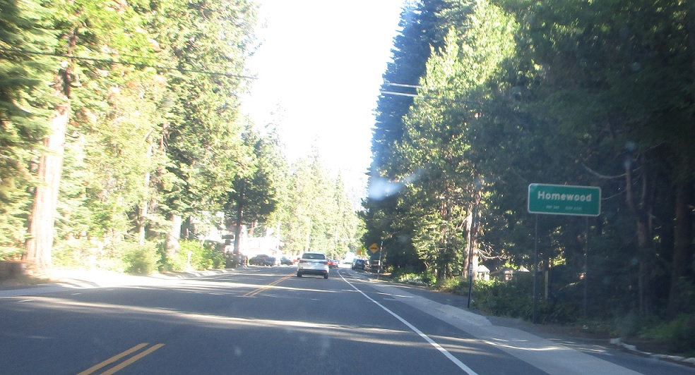
APM: PLA/1
Location: SR 89 and Fawn St, Homewood, Placer Cty
After that we’ll enter Placer County and Homewood.
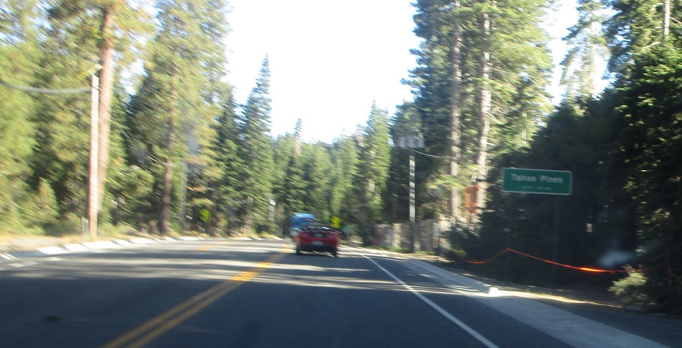
APM: 3
Location: SR 89 and Pine St, Tahoe Pines, Placer Cty
Basically this entire stretch of SR 89 is in some unincorporated community.
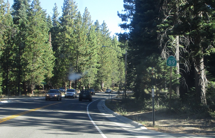
APM: 5
Location: SR 89 and Timberland Ln, Placer Cty
Hey, a reassurance shield!
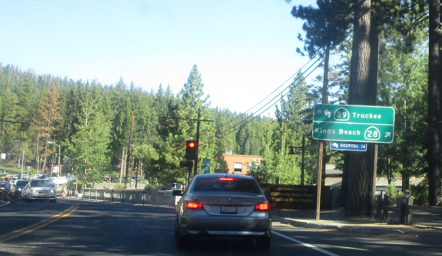
APM: 8
Location: SR 89 and SR 28, Tahoe City, Placer Cty
Shortly thereafter we’ll approach SR 28.
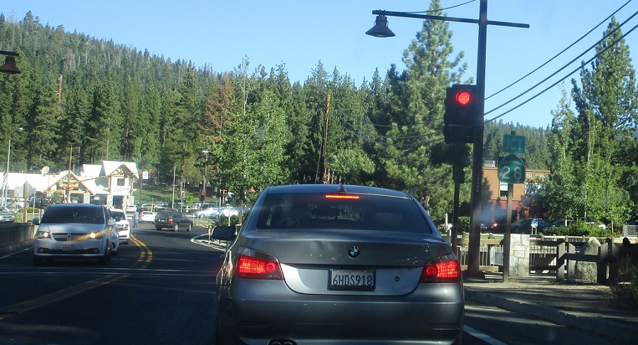
APM: 8
Location: SR 89 and SR 28, Tahoe City, Placer Cty
Follow 28 east into downtown Tahoe City. Keep left for 89 north to Truckee.


 W to SR 89, E to NV State Line
