
APM: N/A
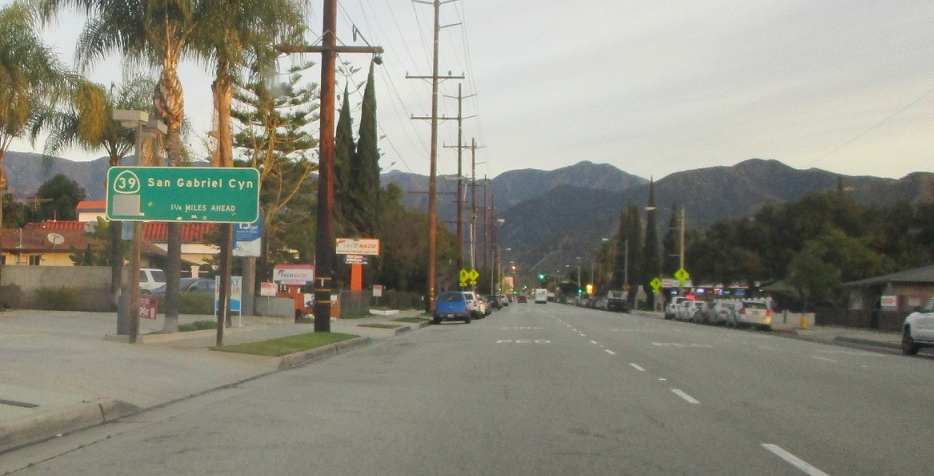
Location: Azusa Ave and Foothill Fwy, Azusa
After I-210 we’re advised that state maintained 39 begins again in 1.25 miles.
APM: N/A
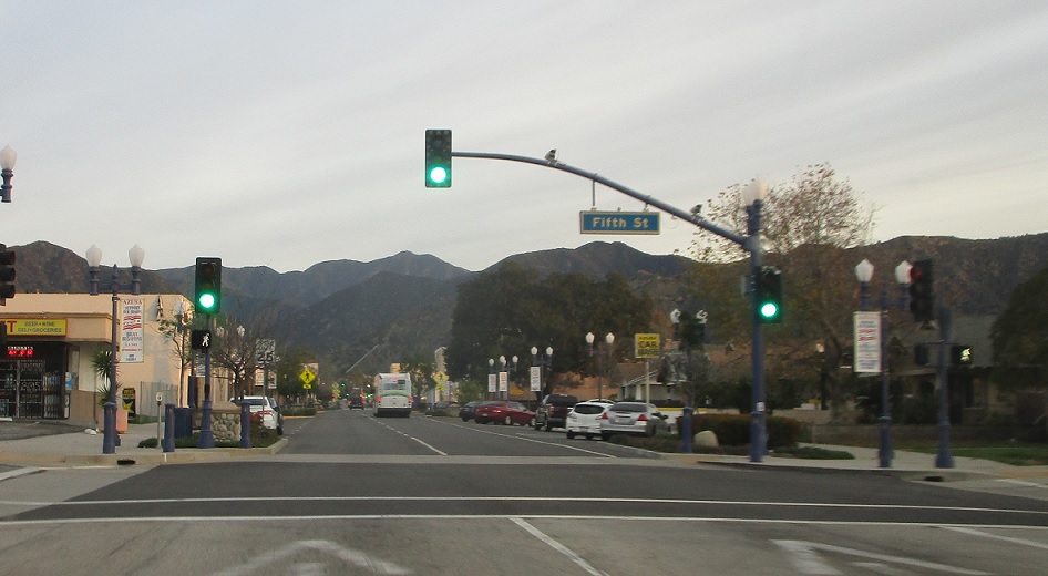
Location: Azusa Ave and 5th St, Azusa
SR 39 breaks into a one way couplet as we pass through downtown Azusa.
APM: N/A
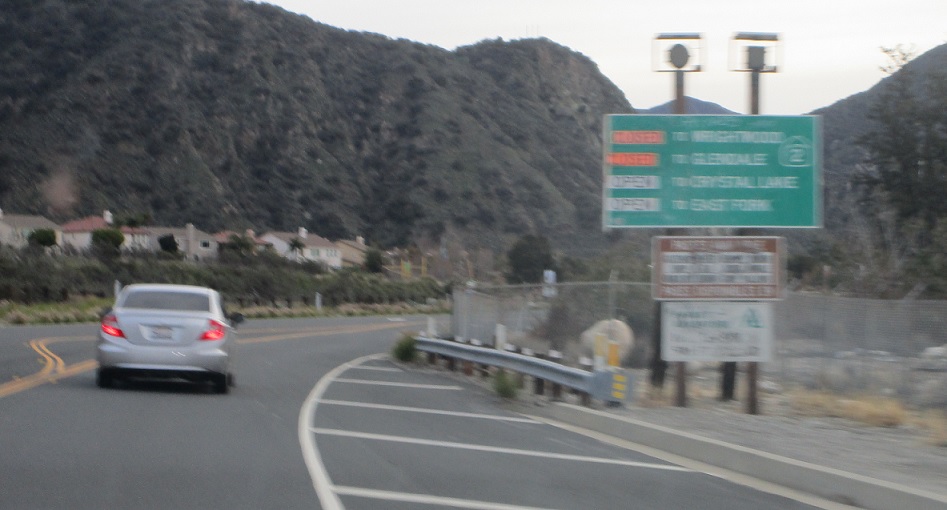
Location: San Gabriel Canyon Rd and Ranch Rd, Azusa
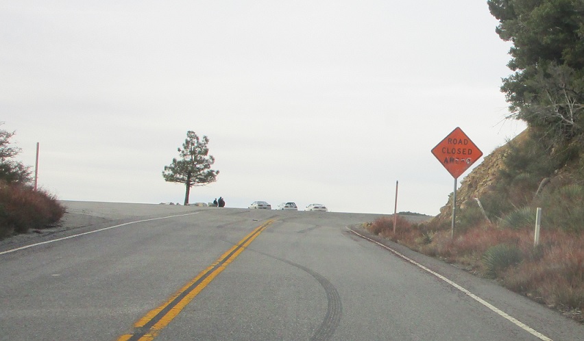
Signage indicating that the road to SR 2 is closed as we head out of Azusa. We’ll travel it anyway.
APM: 17
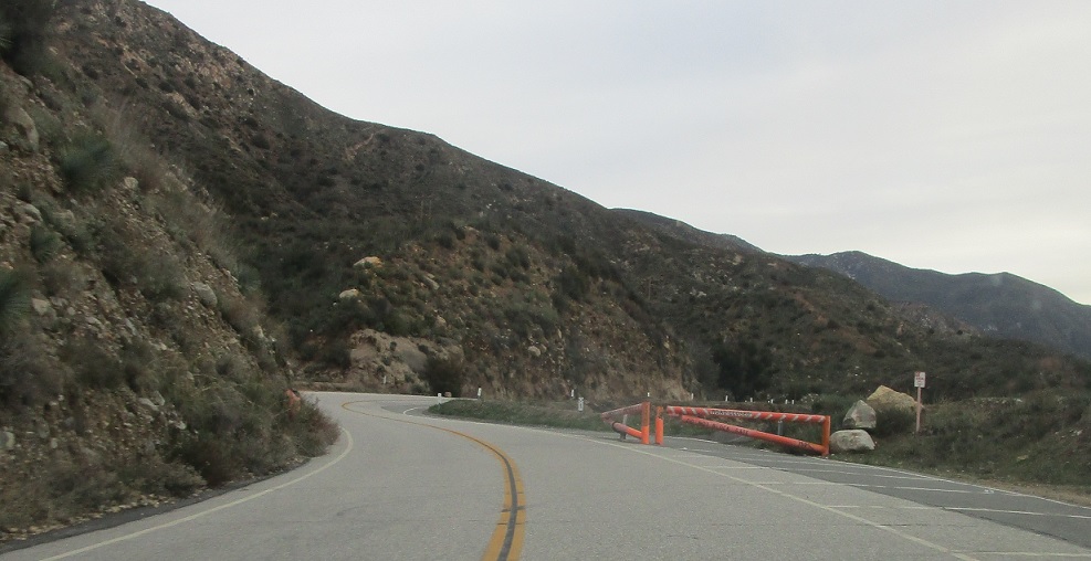
Location: SR 39 and San Gabriel Canyon Rd, Los Angeles Cty
The first closure gate on SR 39 as state maintenance resumes.
APM: 38
Location: SR 39 and Crystal Lake Rd, Los Angeles Cty
No signage for many miles, but we’ll eventually get up to the permanent closure gate.
APM: 38
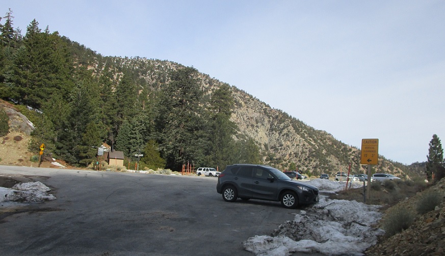
Location: SR 39 at the main closure gate, Los Angeles Cty
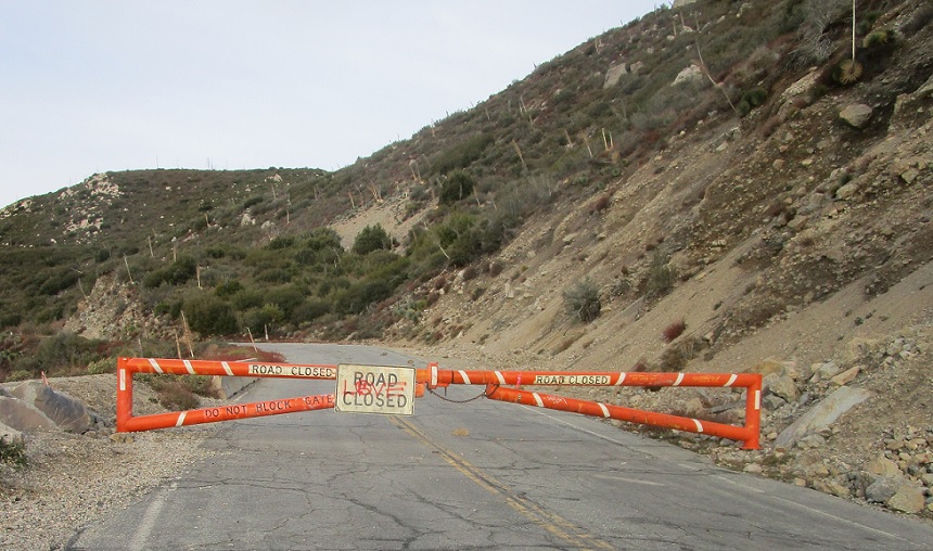
The permanent closure gate. Time to go for a walk!
APM: 38
Location: SR 39 at the main closure gate, Los Angeles Cty
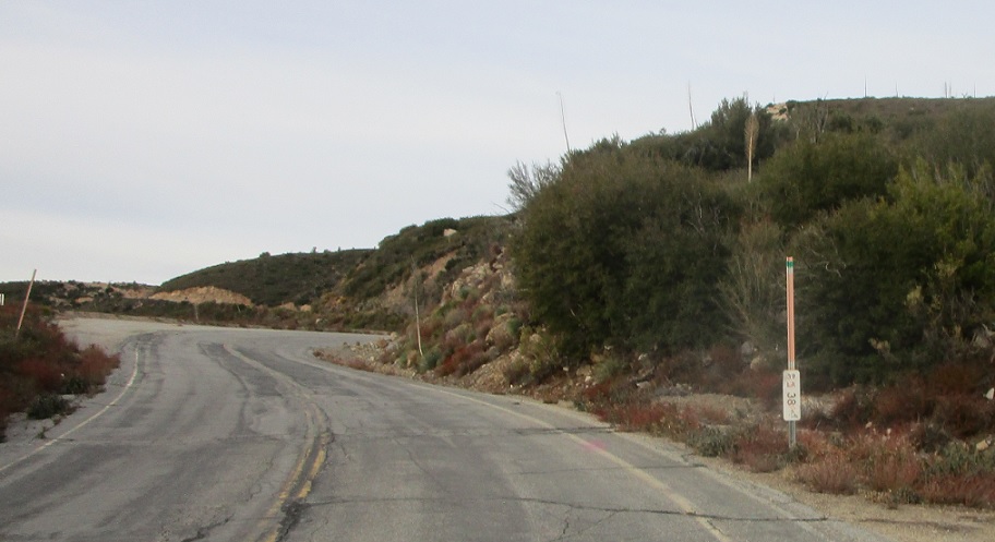
At first, the road looks positively driveable – with postmiles and everything!
APM: 39
Location: SR 39, Los Angeles Cty
The road remains in good shape for the first mile or so.
APM: 39
Location: SR 39, Los Angeles Cty
As we come around another bend, it starts to become more apparent that maintenance is lacking, but the road would still be perfectly driveable with minimal effort, it seems like.
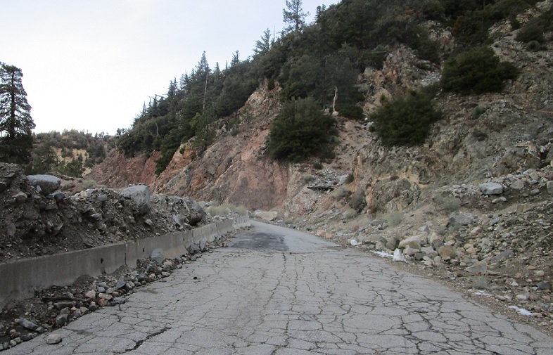
APM: 40
Location: SR 39, Los Angeles Cty
At about postmile 40 we’ll approach another closure gate – the road past here starts to actually degrade in condition.
APM: 40
Location: SR 39, Los Angeles Cty
The center stripe disappears.
APM: 40
Location: SR 39, Los Angeles
Though there are remnants of it from past paving jobs.
APM: 40
Location: SR 39, Los Angeles Cty
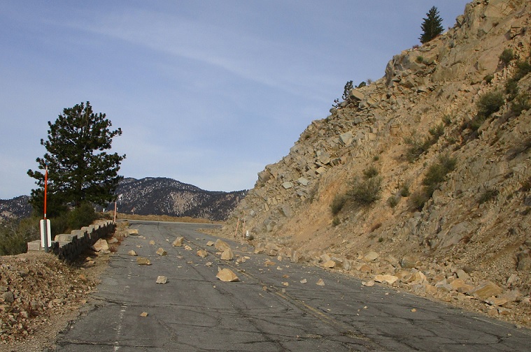
The first small rockslide – though it’s still not that bad.
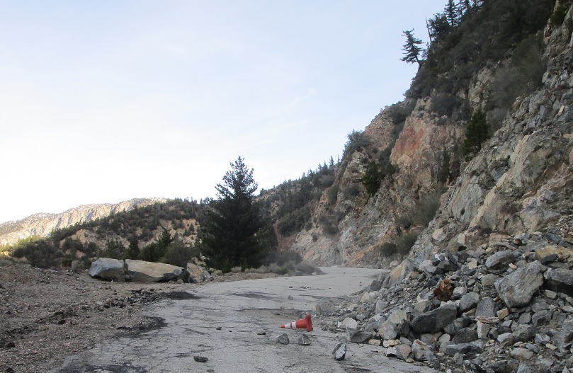
APM: 40
Location: SR 39, Los Angeles Cty
Curiously, there is a cone in the road.
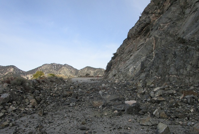
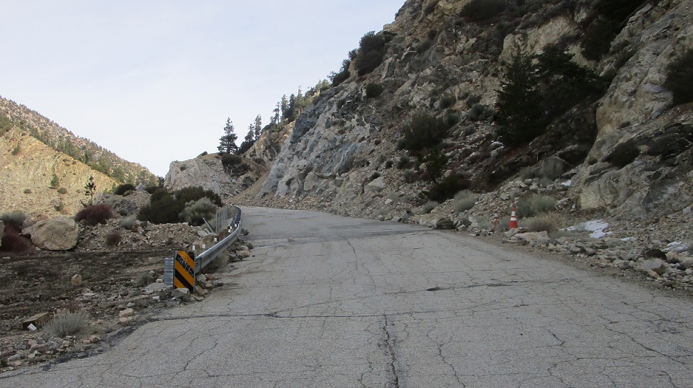
APM: 41
Location: SR 39, Los Angeles Cty
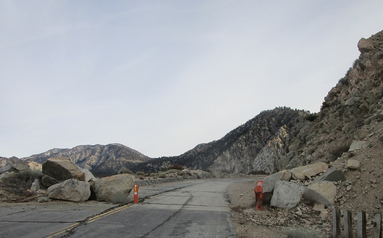
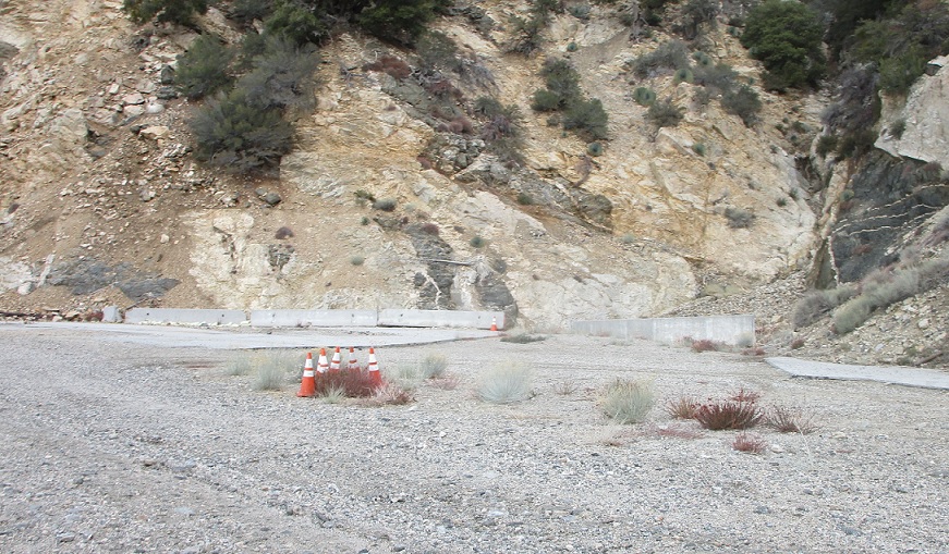
The first major slide area – it appears at one point there was an attempt to keep the road open as a one lane road.
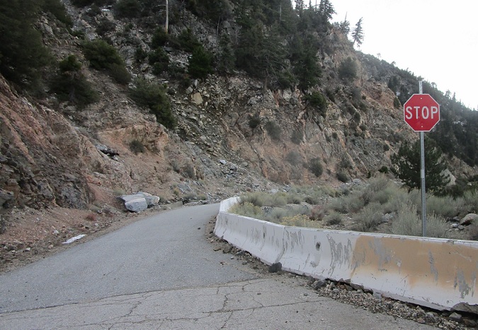
APM: 41
Location: SR 39, Los Angeles Cty
Weirdly, there’s a stop sign here facing southbound that doesn’t even look that old. There was no installation date sticker.
APM: 41
Location: SR 39, Los Angeles Cty
More cones.
APM: 42
Location: SR 39, Los Angeles Cty
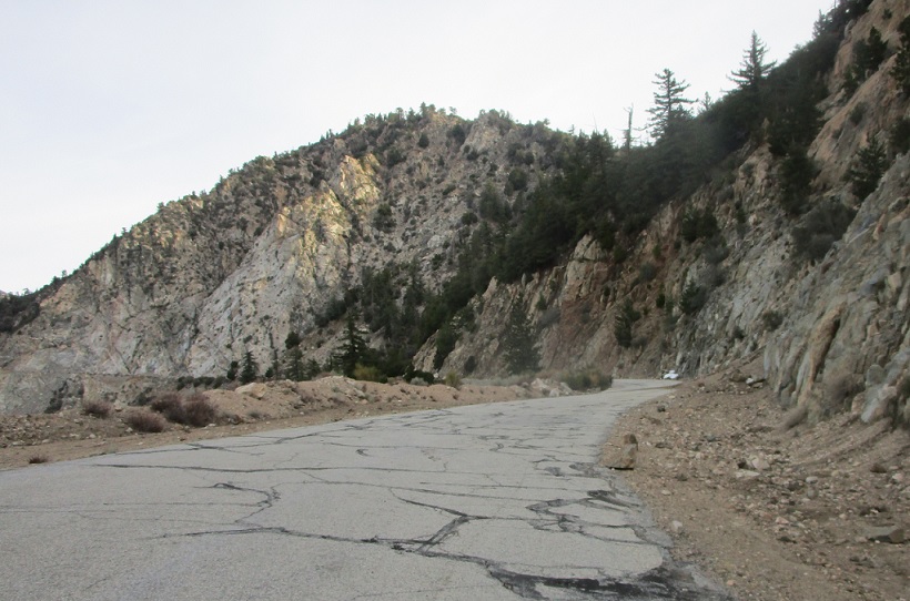
This sure is a beautiful road though – and very pleasant to walk alone.
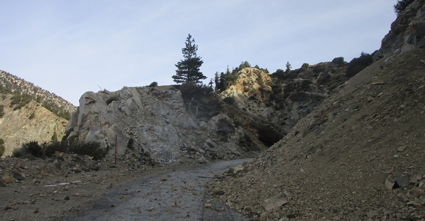
APM: 43
Location: SR 39, Los Angeles Cty
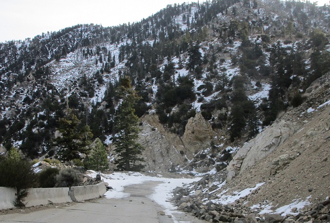
Approaching another slide area.
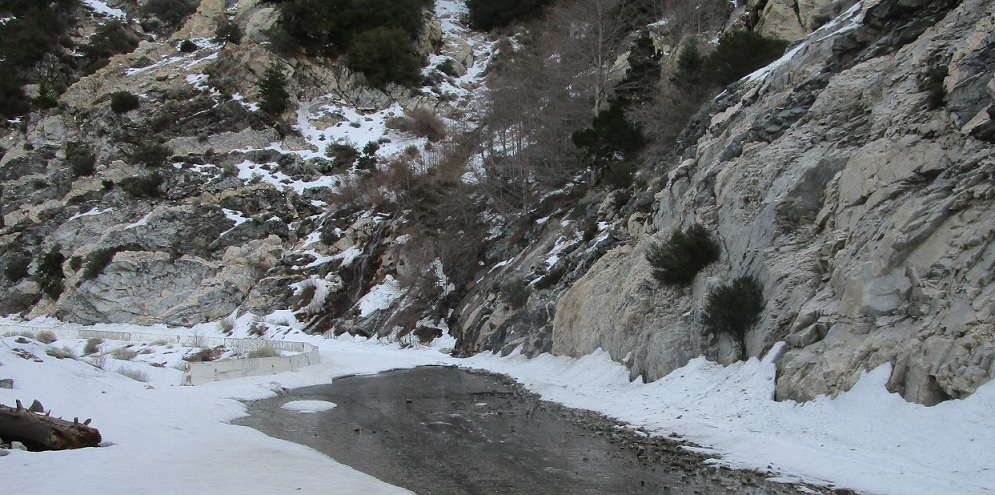
Location: SR 39, Los Angeles Cty
There are signs at the north end discouraging pedestrians along this route (though nothing at the south end where I started!) – when I walked this in January there was quite a bit of snow with some pretty gnarly black ice under it – I can totally see why Caltrans wouldn’t want people out here. I’m from snow country though, so I chugged along.
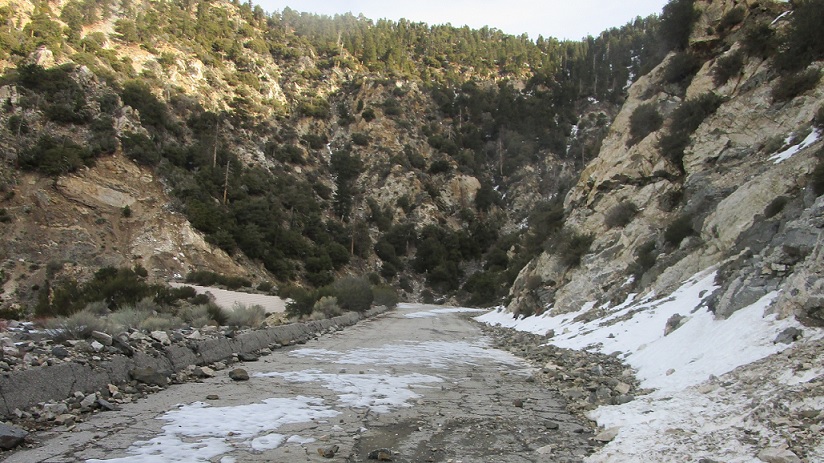
APM: 43
Location: SR 39, Los Angeles Cty
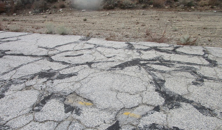
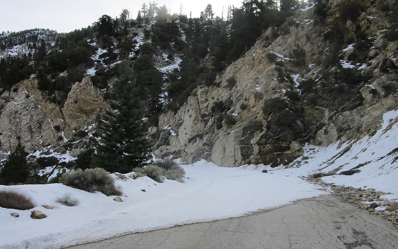
The road doesn’t drain like it used to, I suspect.
APM: 43
Location: SR 39, Los Angeles Cty
More failing road as I walk around another corner.
APM: 43
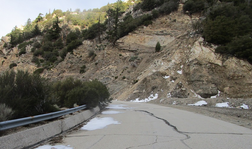
Location: SR 39, Los Angeles Cty
Fairly new looking guardrail though.
APM: 43
Location: SR 39, Los Angeles Cty
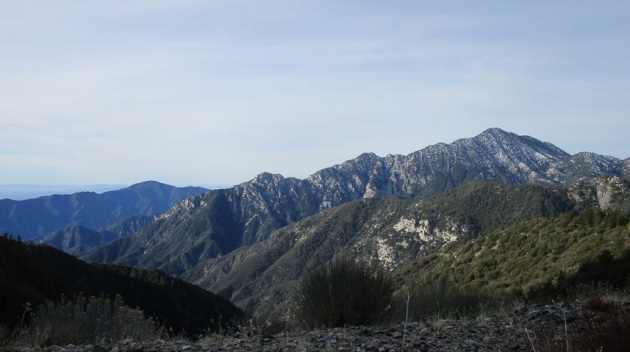
Another minor rock fall as SR 2 comes into view along the ridge in the distance.
APM: 44
Location: SR 39, Los Angeles Cty
More new looking guardrail.
APM: 44
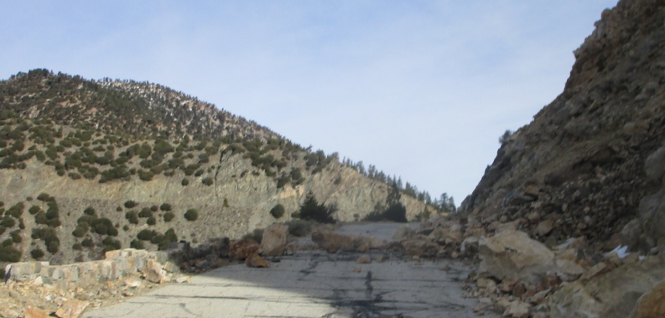
Location: SR 39 and SR 2, Los Angeles Cty
The road falls apart again though one more time before SR 2.
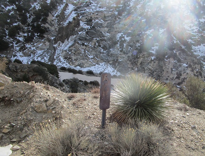
APM: 44
Location: SR 39 and SR 2, Los Angeles Cty
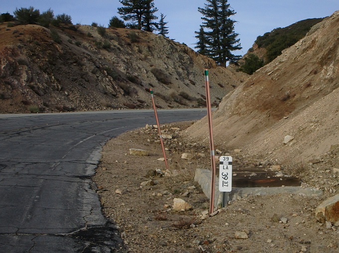
Facing back southbound – this rusty postmile is the only original looking sign left after the second closure gate.
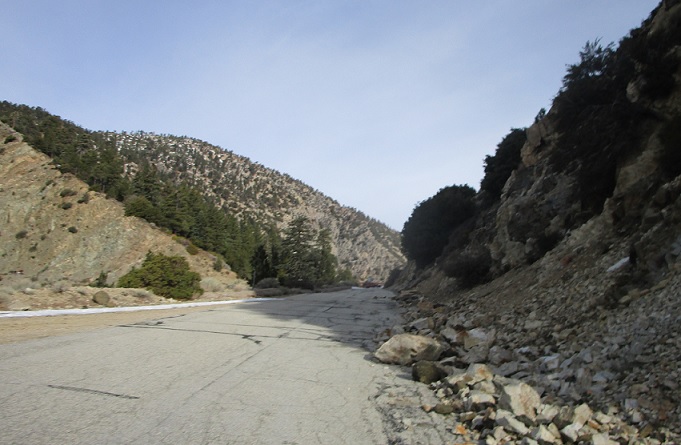
APM: 44
Location: SR 39 and SR 2, Los Angeles Cty
The road widens out again one last time before SR 2.
APM: 44
Location: SR 39 and SR 2, Los Angeles Cty
We made it! Turn left for 2 west and right for 2 east. Overall, this is a pleasant, cool, and generally unchallenging walk that feels positively dystopian. I’d recommend doing it in the summer or bring snowshoes if you aren’t sure-footed. Note that from the north side parking lot there is a sign indicating pedestrians are prohibited.


