
Last Driven July 2020
(Historic Photo: September 2014)
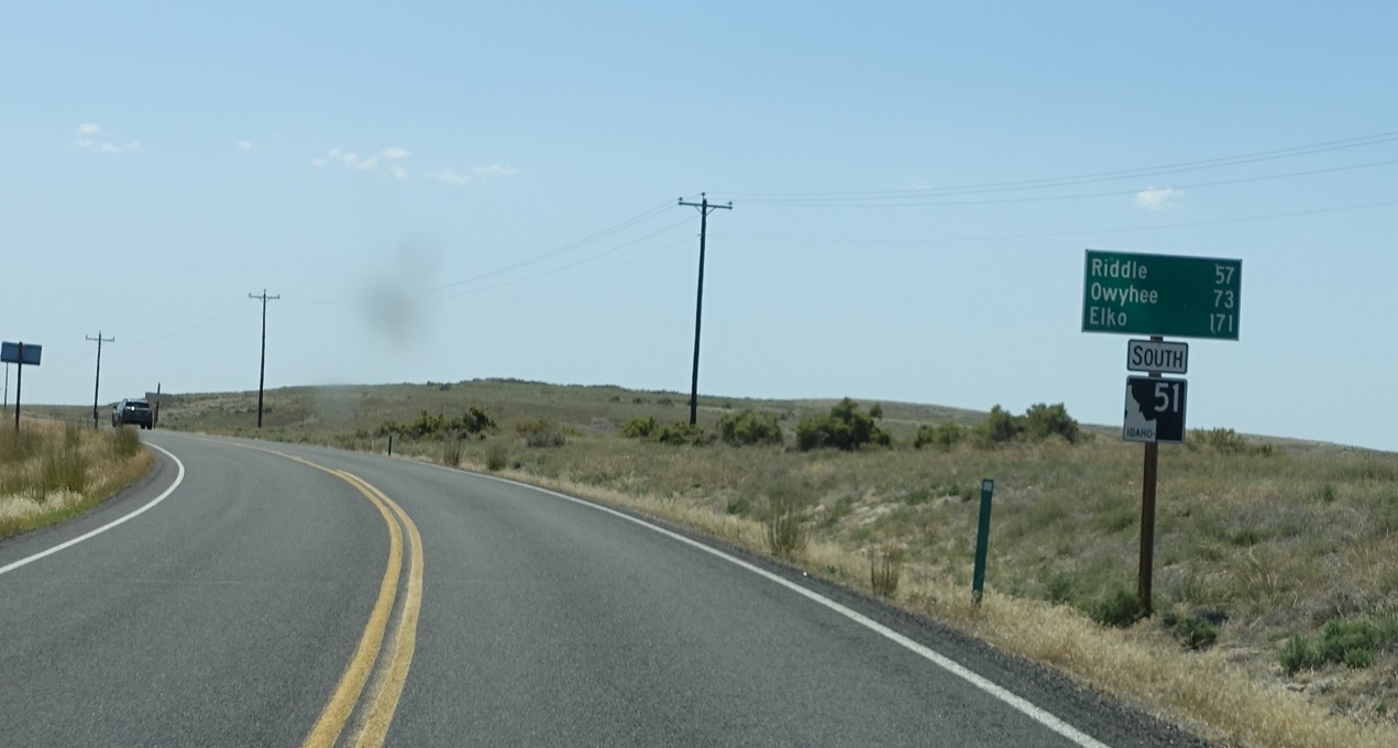
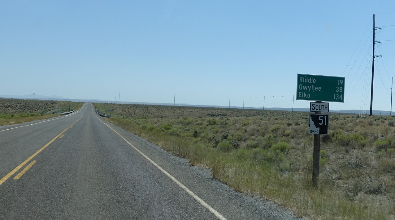
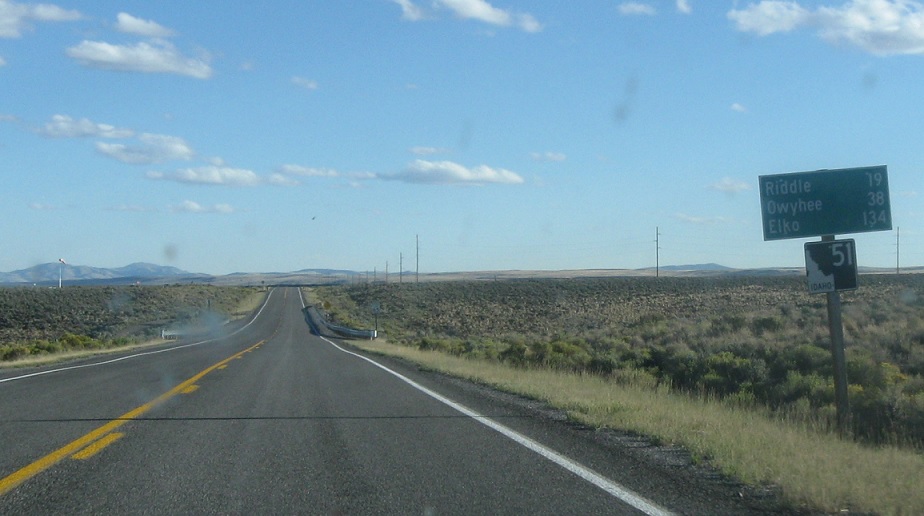
AMP: 69
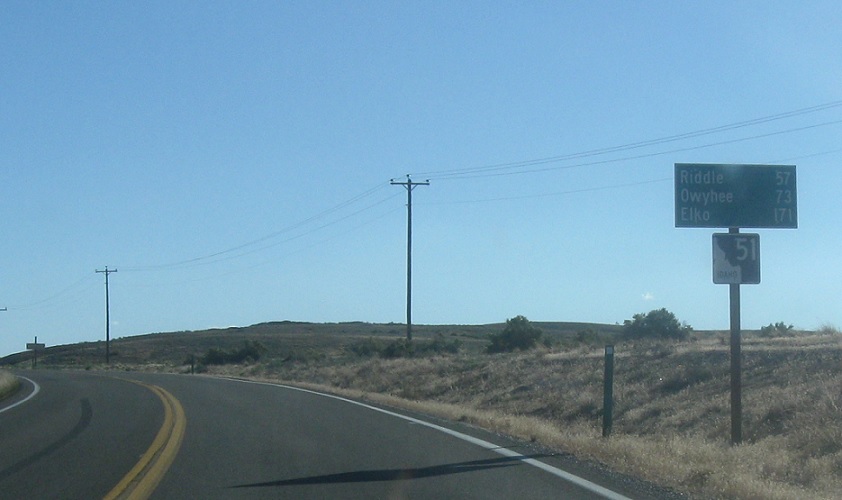
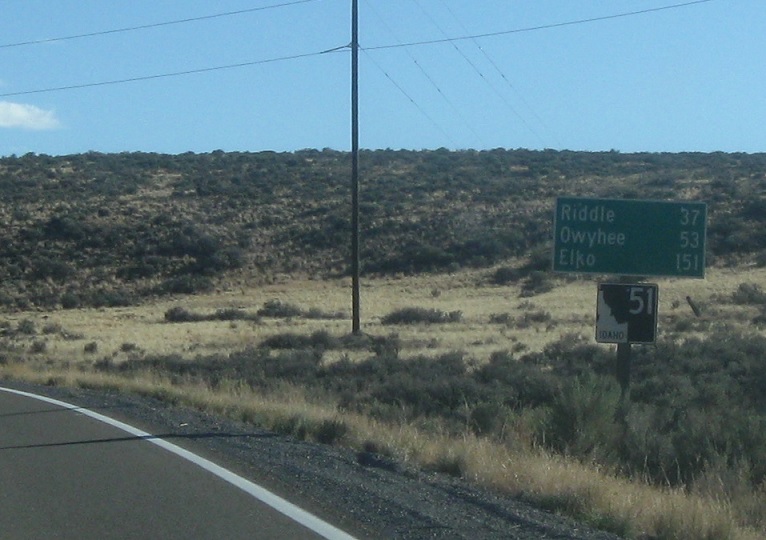
Location: SH-51 and SH-78, Owyhee Cty
Reassurance shield as 51 splits from 78. It’s a long, desolate drive down to the Duck Valley reservation and Owyhee, Nevada.
(Historic Photo: September 2014)
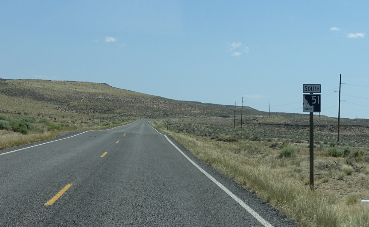
AMP: 59
Location: SH-51 and Broken Wagon Flat Rd, Owyhee Cty
Reassurance shield ten miles later as we pass through the high desert.
(Historic Photo: September 2014)
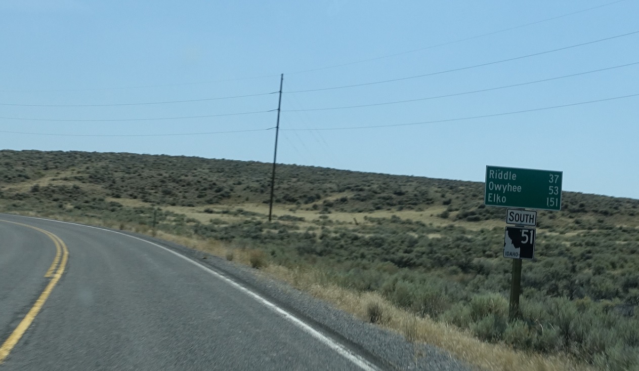
AMP: 49
Location: SH-51 and nothing, Owyhee Cty
Reassurance shield ten miles later. There haven’t been any intersections.
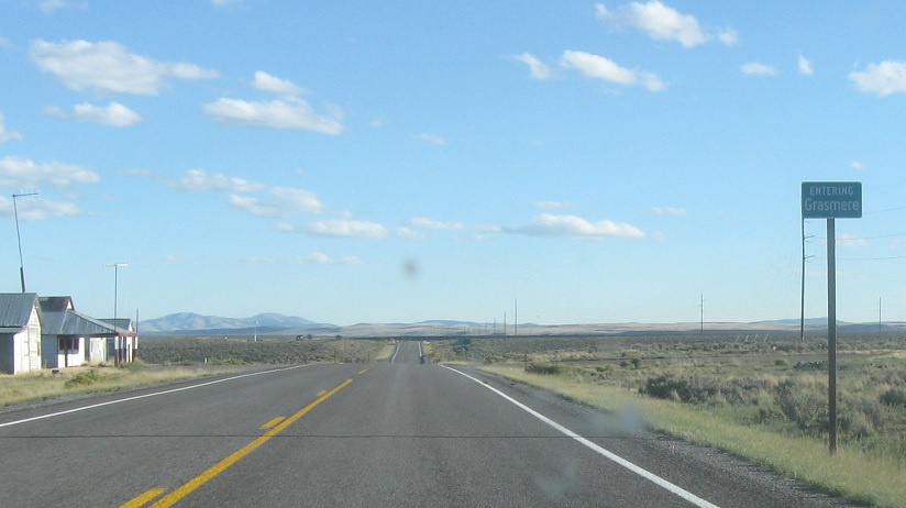
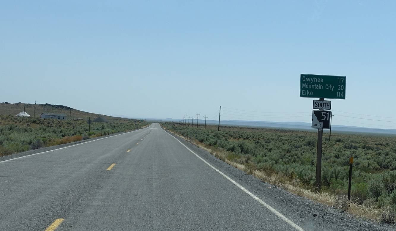
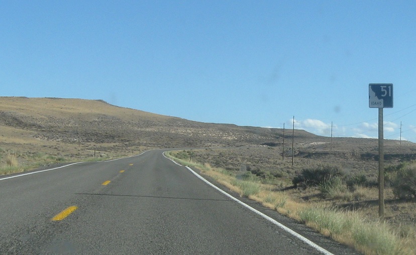
AMP: 32
Location: SH-51 and Sheep Creek Rd, Owyhee Cty
Seventeen miles later, we’ll approach Grasmere, which is just a wide spot in the road.
(Historic Photo: September 2014)
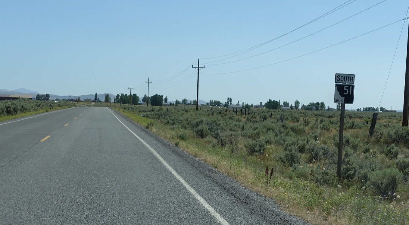
AMP: 32
Location: SH-51 and Sheep Creek Rd, Owyhee Cty
Reassurance shield as we head out of Grasmere.
(Historic Photo: September 2014)
AMP: 26
Location: SH-51 and Roadside Table, Owyhee Cty
Former reassurance shield six miles later after a roadside table.
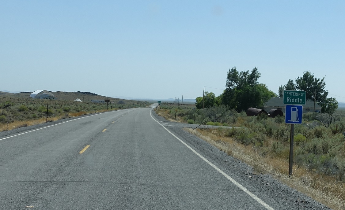
AMP: 13
Location: SH-51 and Battle Creek Rd, Riddle, Owyhee Cty
Thirteen miles later, we’ll approach Riddle, which is another wide spot in the road.
(Historic Photo: September 2014)
AMP: 11
Location: SH-51 and Battle Creek Rd, Owyhee Cty
Reassurance shield as we head out of Riddle.
AMP: 1
Location: SH-51 and BIA Route 7, Owyhee Cty
Reassurance shield a mile from the state line as we pass through the Duck Valley Reservation.
(Historic Photo: September 2014)
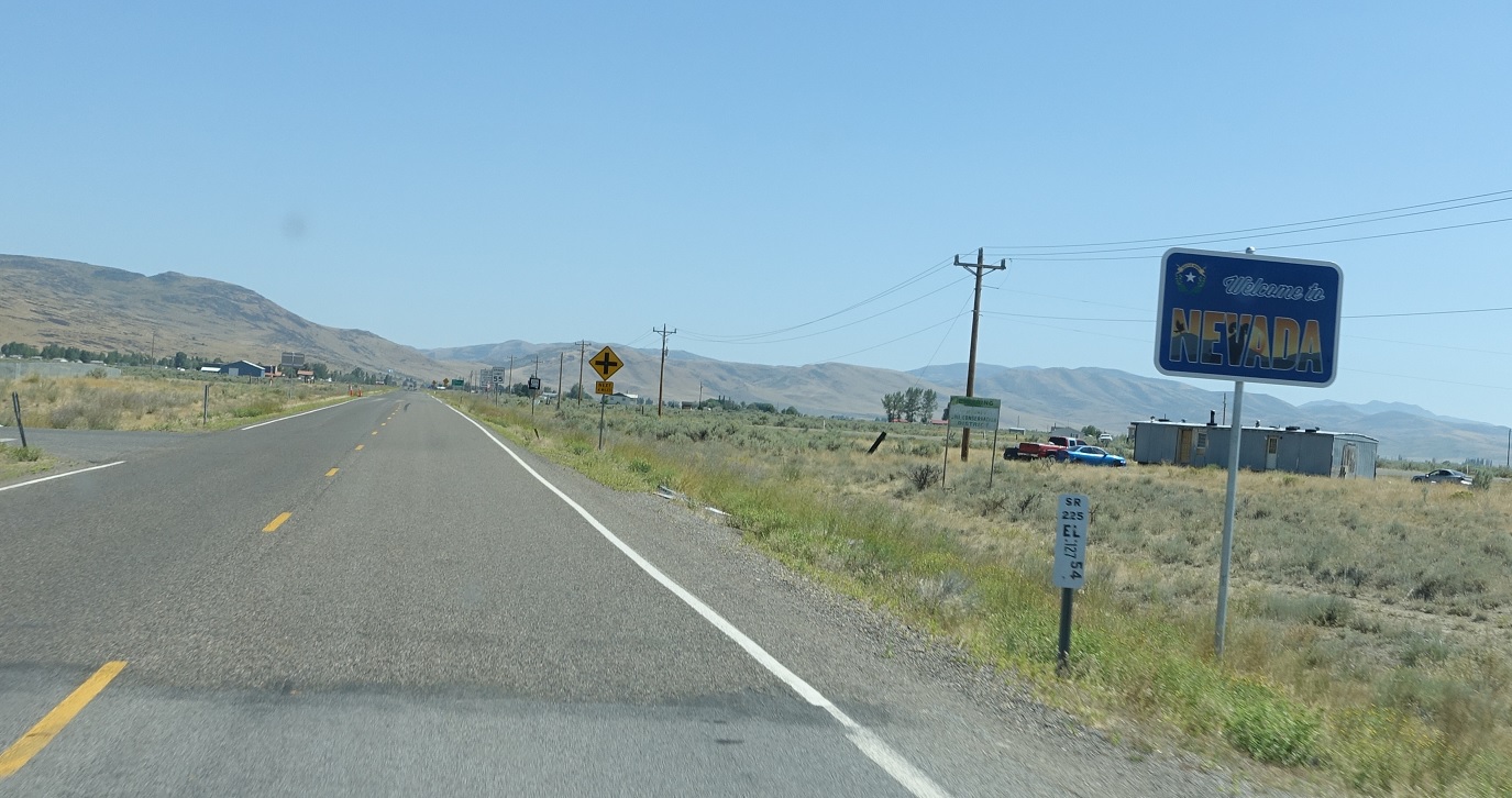
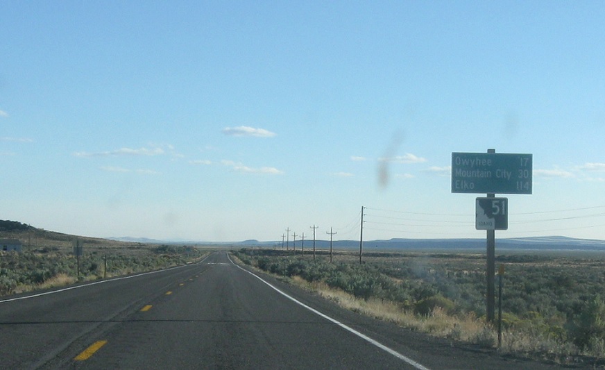
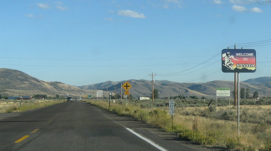
AMP: 0
Location: SH-51 and SR-225, Owyhee Cty
11 miles later, we’ll enter the Duck Valley reservation, which has some signs of civilization, and the state of Nevada. The road turns into Nevada 225, which heads south down to Elko.


