
Last Driven May 2020
(Historic Photo: May 2007)
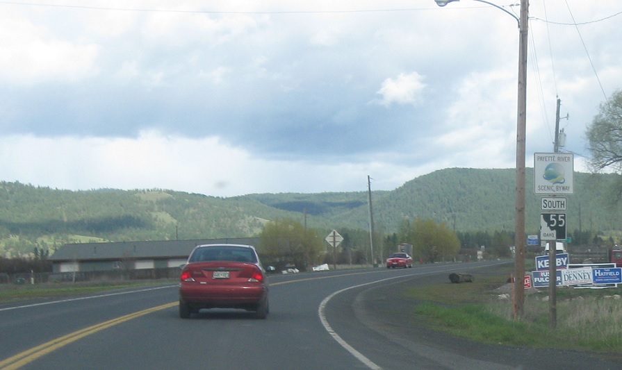
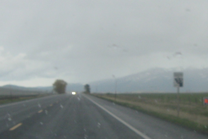
AMP: 156
Location: SH-55 and US-95, Adams Cty
Reassurance shield as Highway 55 begins and we head out of New Meadows.
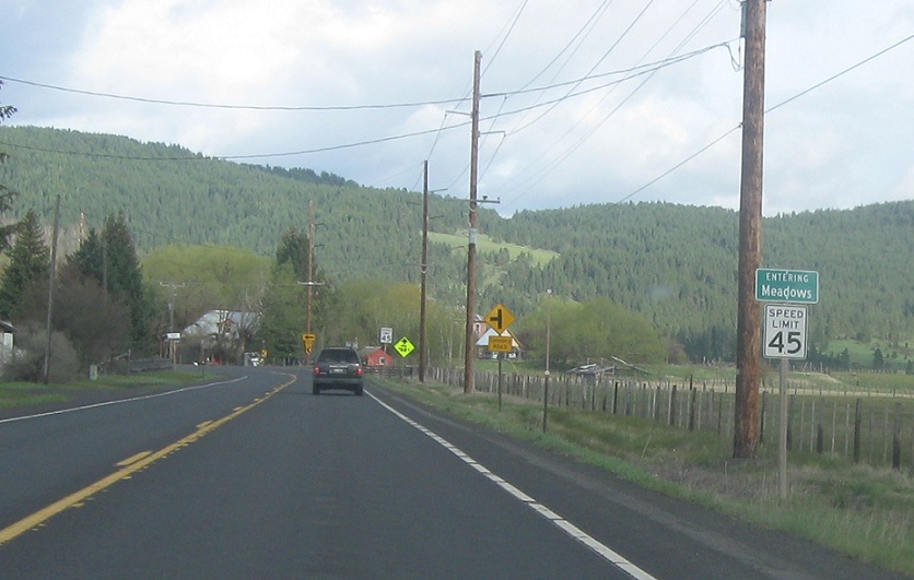
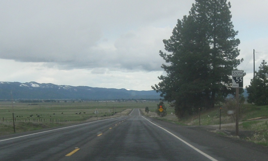
AMP: 153
Location: SH-55 and Keska Ln, Meadows, Adams Cty
A few miles later, we’ll approach the other side of Meadows Valley and the village of regular Meadows.
(Historic Photo: May 2007)
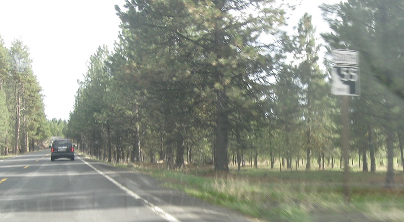
AMP: 149
Location: SH-55 and Goose Lake Rd, Adams Cty
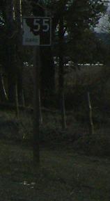
As we ascend out of Meadows Valley, we’ll pass by the turnoff to Brundage and get another reassurance shield.
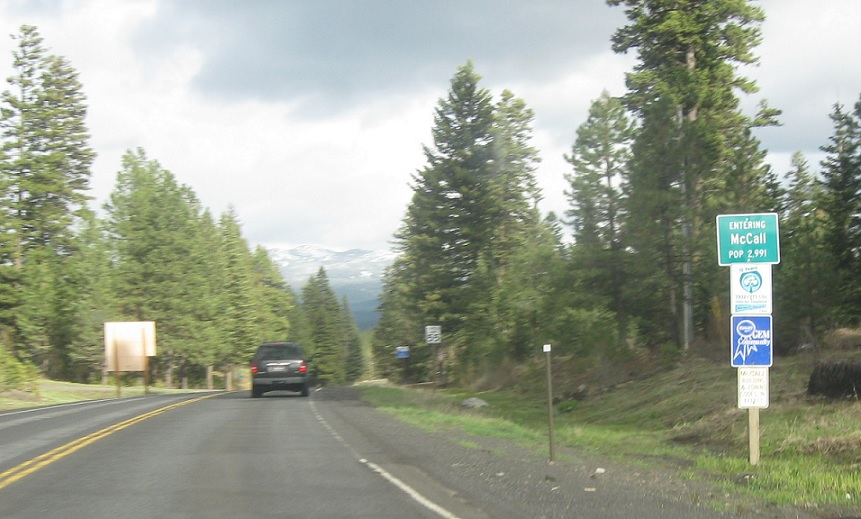
AMP: 147
Location: SH-55 and Meadows Rd, McCall
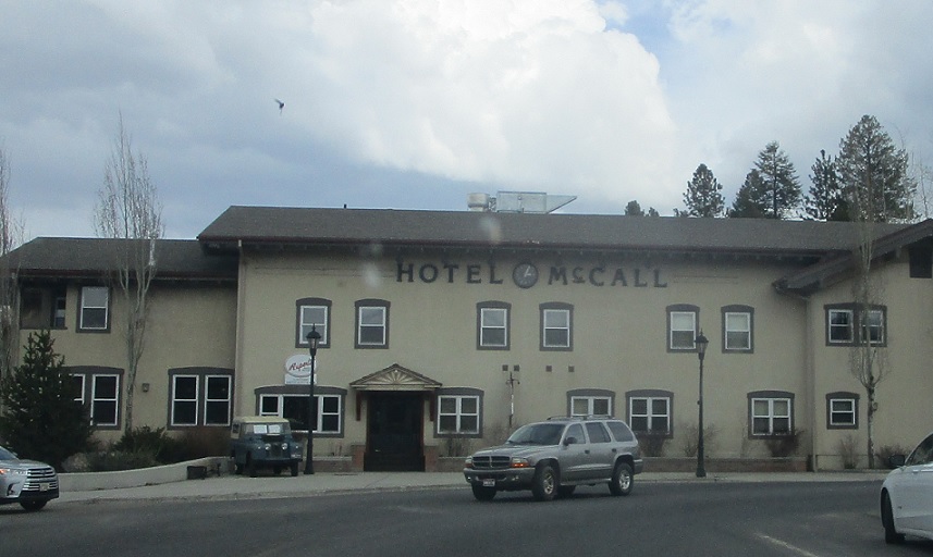
A few miles later, we’ll enter my hometown of McCall, Idaho.
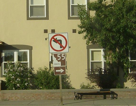
AMP: 144
Location: Lake St and Mather Rd, McCall
Reassurance shield as we start to enter McCall

AMP: 144
(Historic Photo: May 2007)
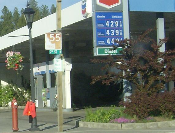
Location: Lake St and 2nd St, McCall
Reassurance shield as we enter downtown McCall
AMP: 144
(Historic Photo: May 2007)
Location: Lake St and 3rd St, McCall
Keep right to stay on SH-55 to head south out of downtown. There used to be a shield here, but it’s been gone for years.
AMP: 142
Location: SH-55 and Jacob St, McCall
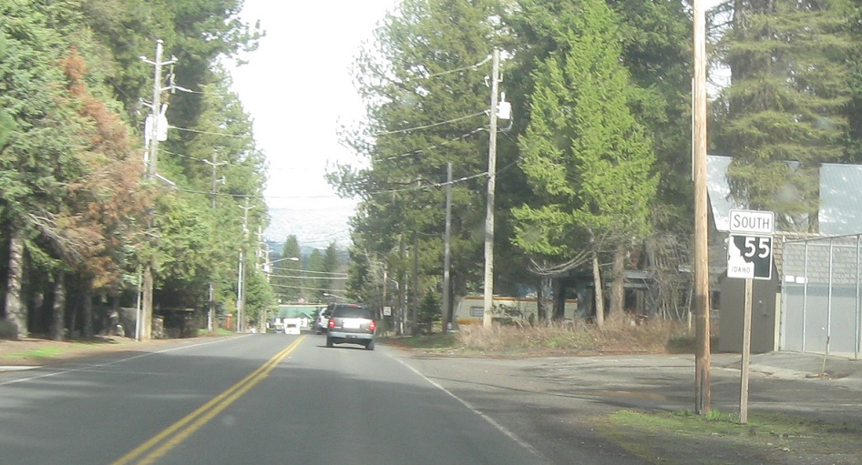
Reassurance shield a mile or so later as we head out of McCall
AMP: 138
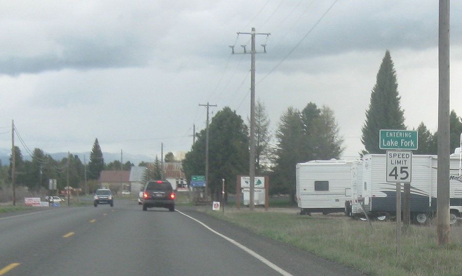
Location: SH-55 and Lake Fork Rd, Lake Fork, Valley Cty
A few miles later we’ll enter the unincorporated community of Lake Fork
(Historic Photo: May 2007)
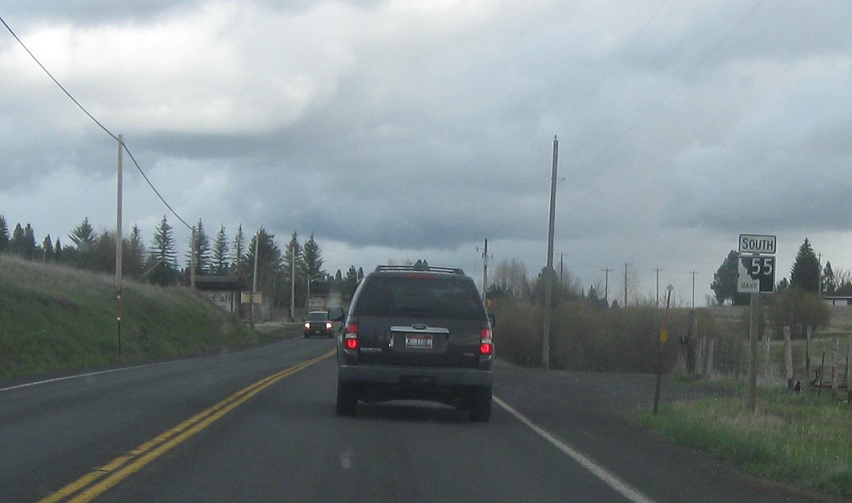
AMP: 138
Location: SH-55 and Lake Fork Rd, Valley Cty
Reassurance shield as we head out of Lake Fork.
(Historic Photo: May 2007)
AMP: 134
Location: SH-55 and Paddy Flat Rd, Valley Cty
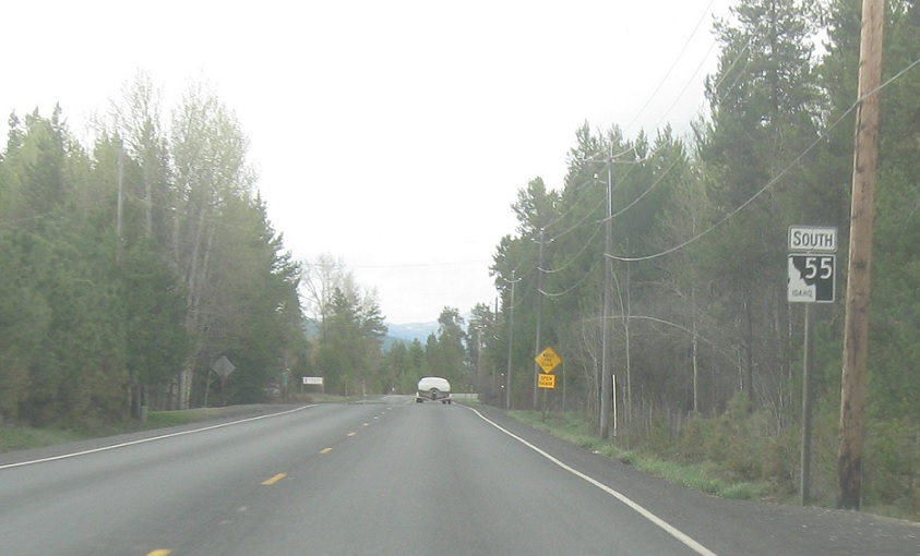
Reassurance shield as we continue our traverse through Long Valley.
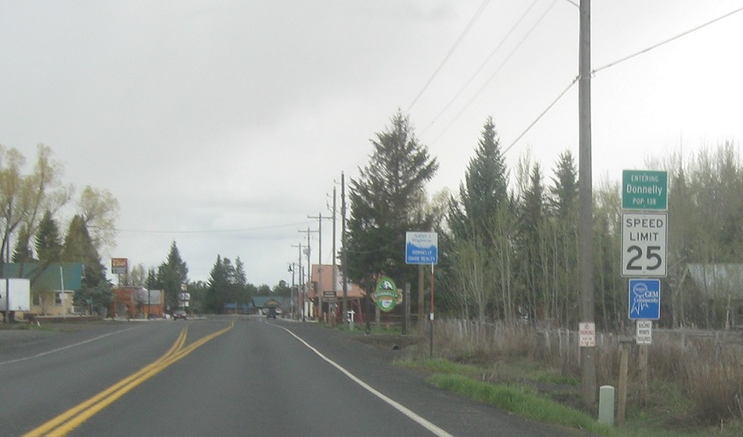
AMP: 131
Location: Main St and State St, Donnelly
A couple miles later, we’ll enter the speed trap of Donnelly
(Historic Photo: May 2007)
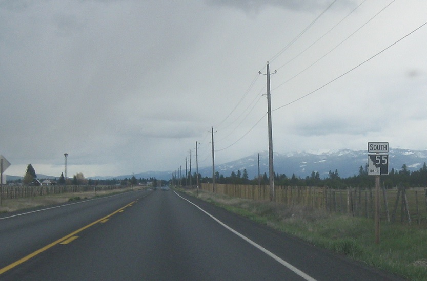
AMP: 130
Location: SH-55 and Eld Ln, Valley Cty
Reassurance shield as we head out of Donnelly. The road in the background is old SH-55, which used to run through the valley to the west of here before Cascade Reservoir flooded it out
(Historic Photo: May 2007)
AMP: 127
Location: SH-55 and 4 Ln, Valley Cty
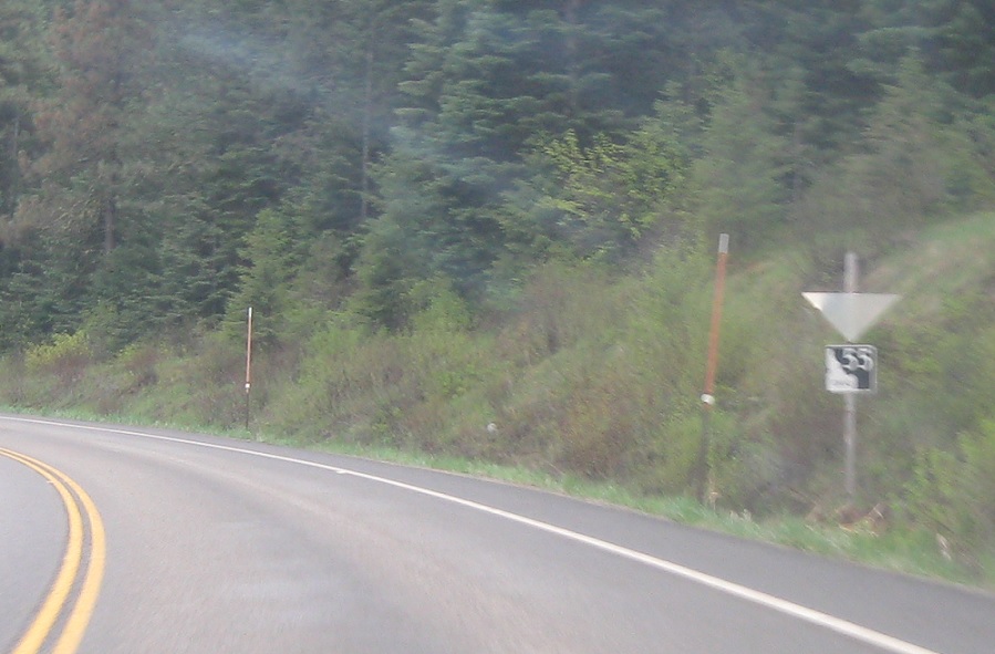
Reassurance shield after a random numbered county road, one of the only ones I know of in Valley County.
(Historic Photo: May 2007)
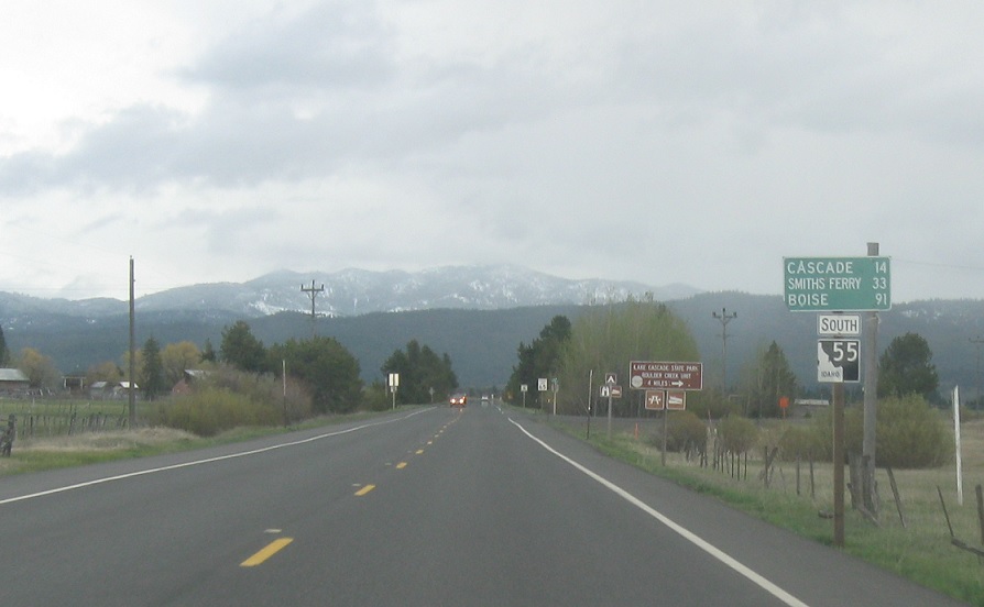
AMP: 121
Location: SH-55 and Stonebreaker Ln, Valley Cty
A few miles later, we’ll cross over a small pass from Long Valley into Round Valley, where Cascade is and we are now.
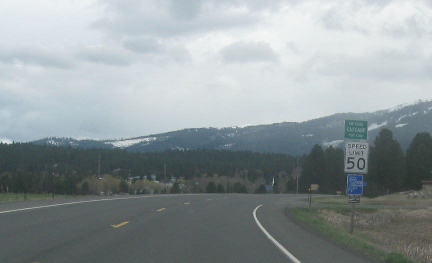
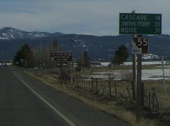
AMP: 116
Location: SH-55 and Warm Lake Rd, Cascade
A few miles later, we’ll enter Cascade, the county seat of Valley County.
(Historic Photo: May 2007)
AMP: 114
Location: Main St and Cabarton Rd, Cascade
Reassurance shield after we pass downtown Cascade.
AMP: 113
Location: SH-55 and Airport Rd, Valley Cty
Reassurance shield as we head out of Cascade
(Historic Photo: May 2007)
AMP: 108
Location: SH-55 and Alpha Ln, Valley Cty
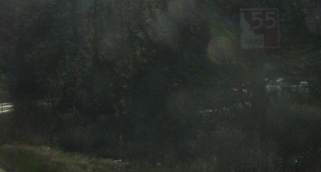
Reassurance shield a few miles later.
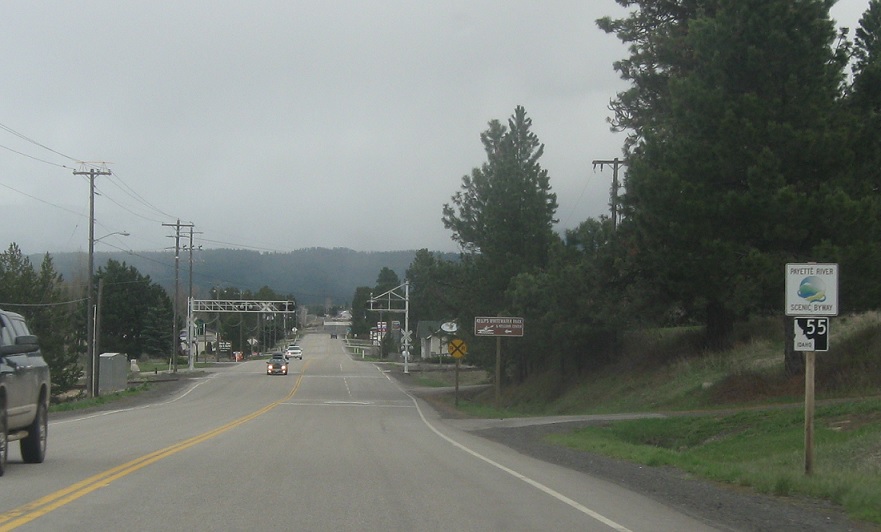
(Historic Photo: May 2014)
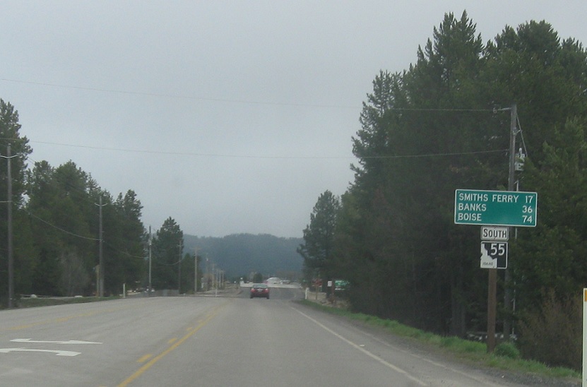
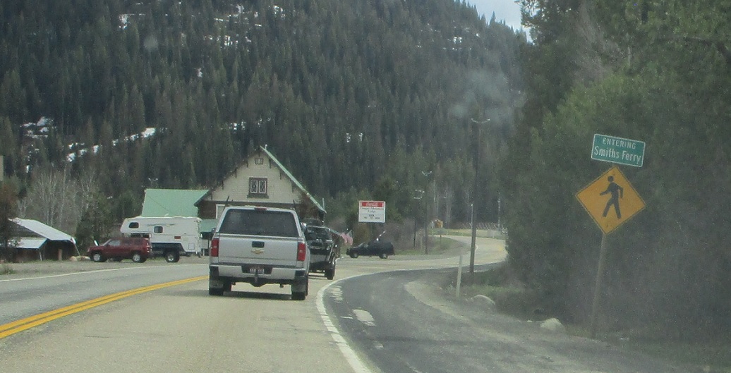
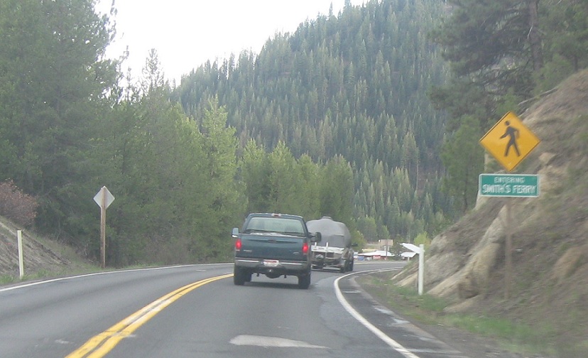
AMP: 97
Location: SH-55 and Smith’s Ferry Rd, Smith’s Ferry, Valley Cty
A few miles later, we’ll head into the Payette River Canyon and approach the little community of Smith’s Ferry
(Historic Photo: May 2007)
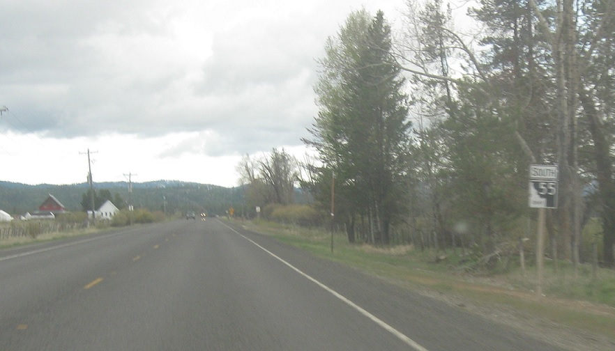
AMP: 96
Location: SH-55 and Smith’s Ferry Rd, Valley Cty
Reassurance shield as we head out of Smith’s Ferry
(Historic Photo: May 2007)
AMP: 87
Location: SH-55 and Cold Springs Campground Rd, Valley Cty
Reassurance shield as we head through the canyon
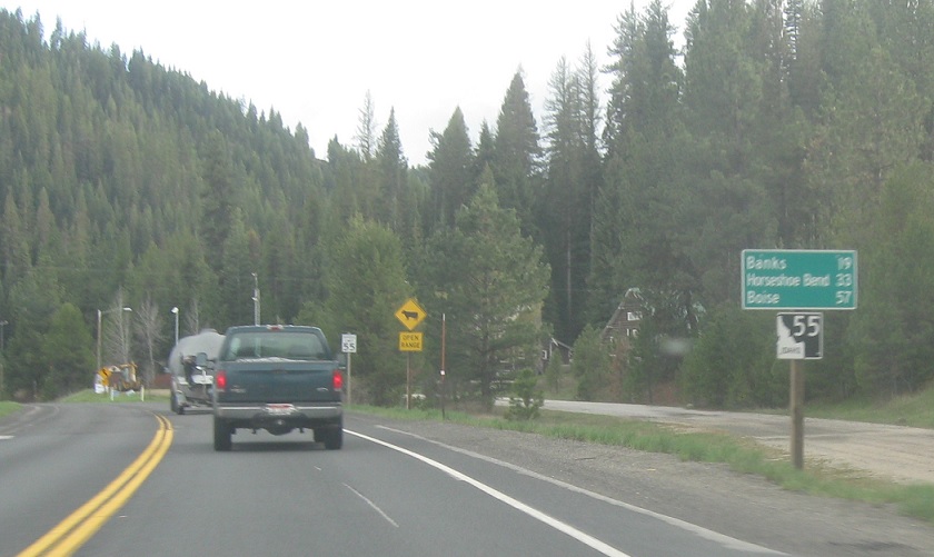
AMP: 78
Location: SH-55 and Banks-Lowman Rd, Banks, Boise Cty
A few miles later, we’ll pass by the rafting headquarters of Banks and the cutoff road over to Lowman and Garden Valley.
(Historic Photo: May 2007)
AMP: 72
Location: SH-55 and Banks Campground Rd, Boise Cty
Reassurance shield a few miles later as we continue the long, gradual descent along the river towards Horseshoe Bend.
(Historic Photo: May 2014)
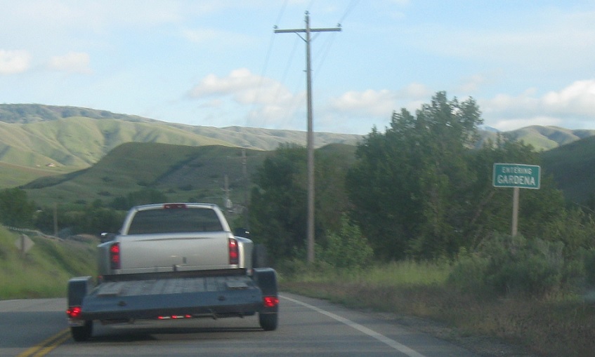
AMP: 69
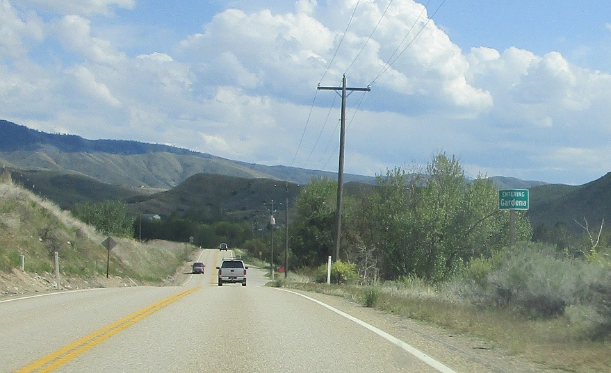
Location: SH-55 and Gardena Rd, Gardena, Boise Cty
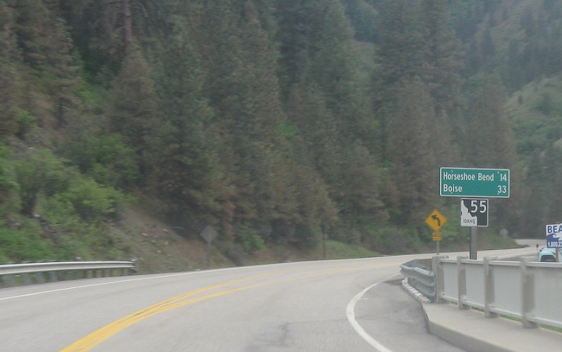
A few miles later, we’ll pass by Gardena, which is mostly located on the other side of the river.
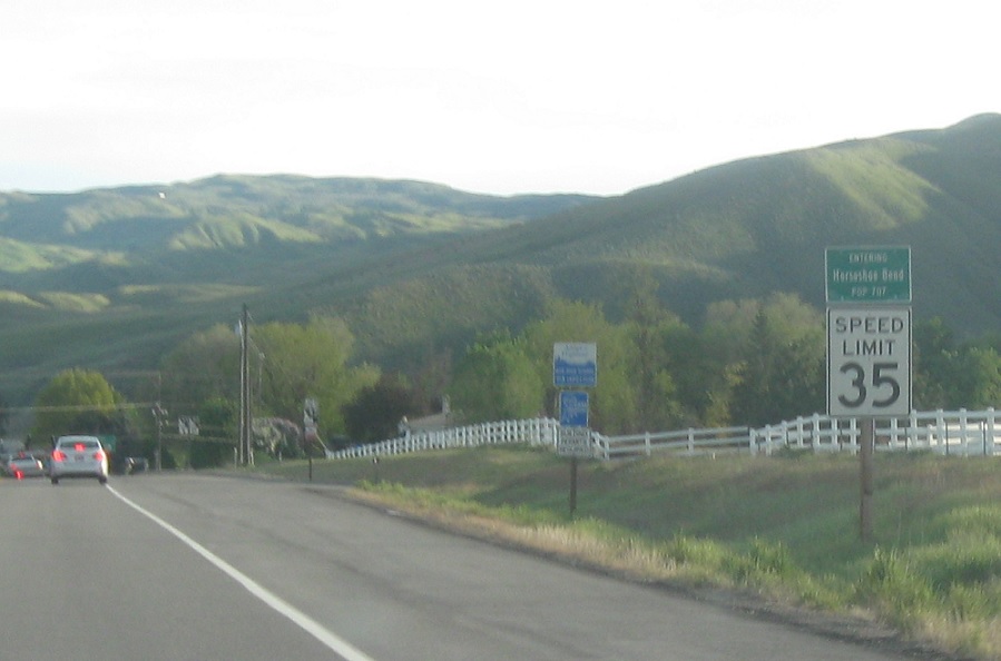
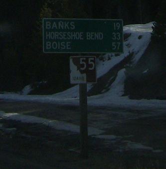
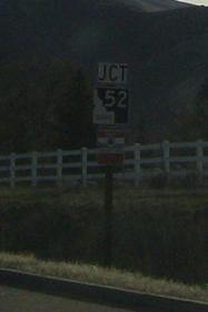
AMP: 64
Location: SH-55 and SH-52, Horseshoe Bend
A few miles later, we’ll finally leave the Payette River as we approach SH-52
(Historic Photo: May 2007)
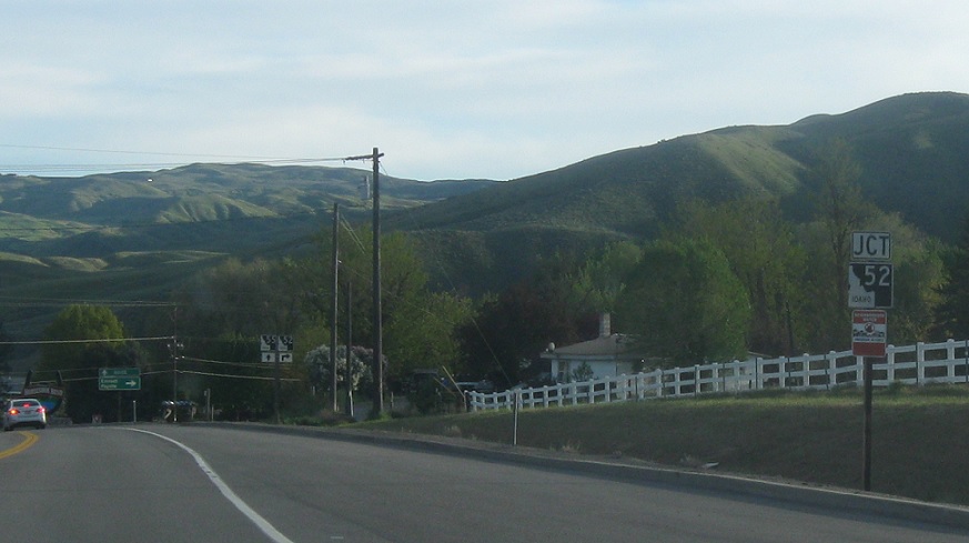
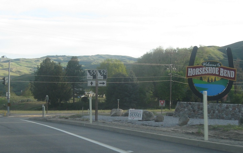
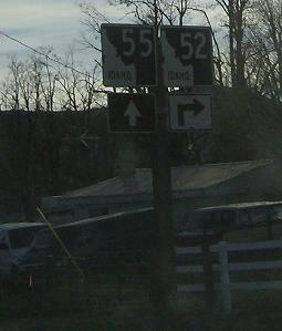
AMP: 64
Location: SH-55 and SH-52, Horseshoe Bend
Junction SH-52 coming up.
(Historic Photo: May 2007)
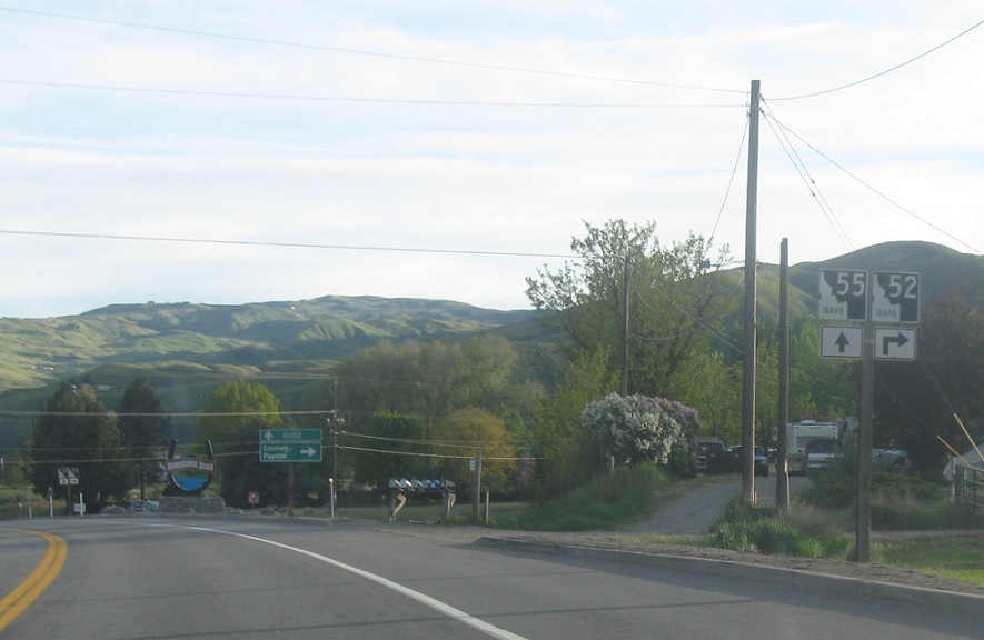
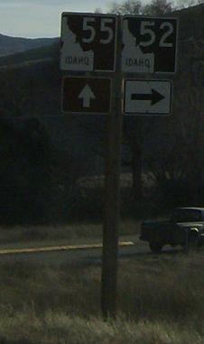
AMP: 64
Location: SH-55 and SH-52, Horseshoe Bend
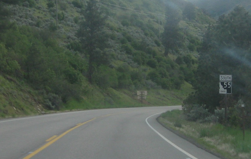
Turn right for 52 west. Stay straight for 55 south.
AMP: 64
Location: SH-55 and SH-52, Horseshoe Bend
Follow 52 west to Emmett and Payette. Stay on 55 for Boise.
(Historic Photo: May 2007)
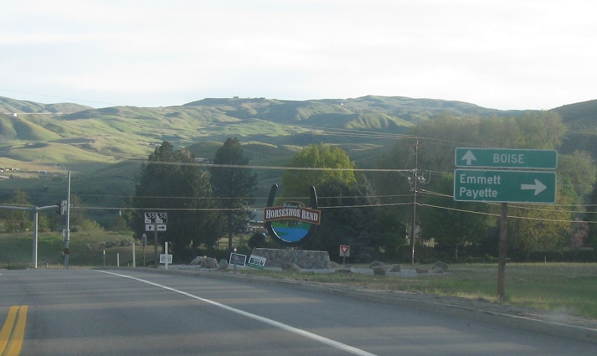
AMP: 64
Location: SH-55 and SH-52, Horseshoe Bend
Turn right for 52 west. Stay straight for 55 south.


