AMP: 0
Location: Ruby Rd and I-19, Santa Cruz Cty
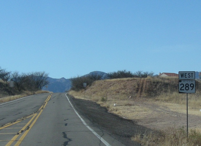
Reassurance shield at the beginning of SR 289. 289 is signed as an east-west route, and was numbered as a branch of US-89
AMP: 1
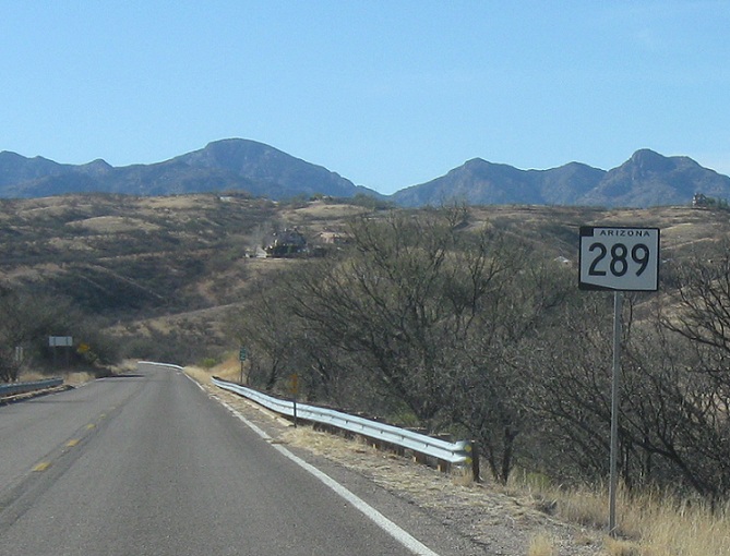
Location: Ruby Rd at MP 2, Santa Cruz Cty
Just before milepost 2, we’ll get another reassurance shield

AMP: 3
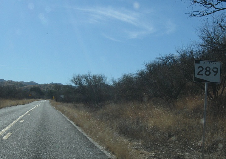
Location: Ruby Rd at the Coronado NF Boundary, Santa Cruz Cty
As we enter the Coronado National Forest just after milepost 3, we’ll get another reassurance shield. There haven’t been any intersection since about half a mile west of I-19
AMP: 5
Location: Ruby Rd and MP 5, Santa Cruz Cty
Reassurance shield after milepost 5
AMP: 7
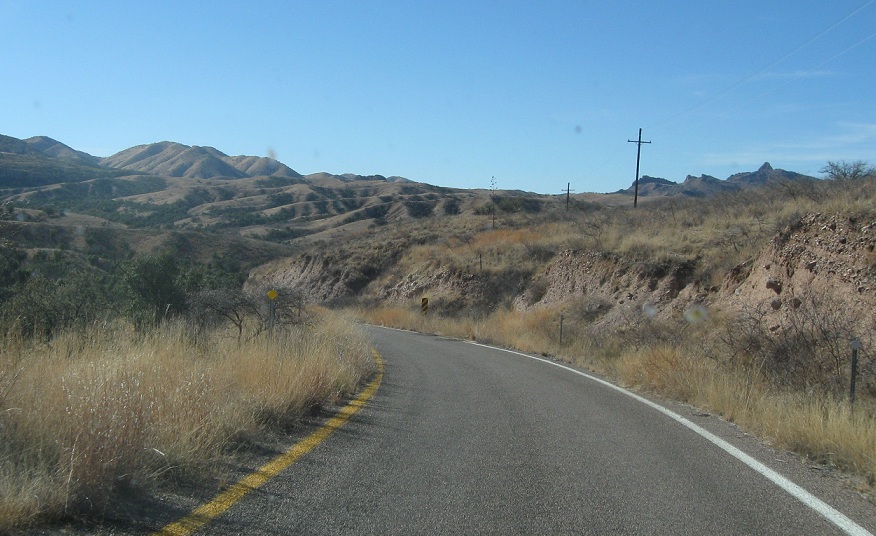
Location: Ruby Rd at Milepost 7, Santa Cruz Cty
A couple miles later, SR 289’s speed limit drops to 25, and for about 3/4 of a mile it splits into a divided highway, with one lane on each side, straddling a drainage basin
AMP: 9
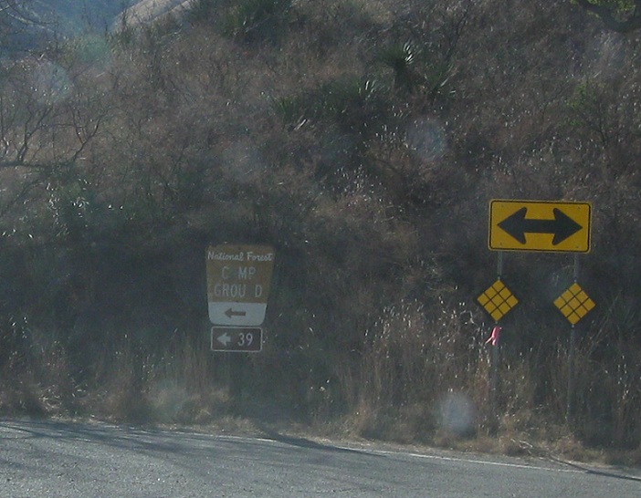
Location: Ruby Rd and Peña Blanca Lake Rd, Santa Cruz Cty
A couple miles after that, we’ll approach Peña Blanca Lake Rd. Turn left for NF-39, which heads a long way off, and right for SR 289, which heads towards the lake
AMP: 9
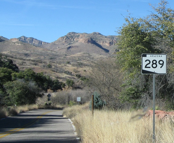
Location: Peña Blanca Lake Rd and Ruby Rd, Santa Cruz Cty
Reassurance shield after the turn
AMP: 10
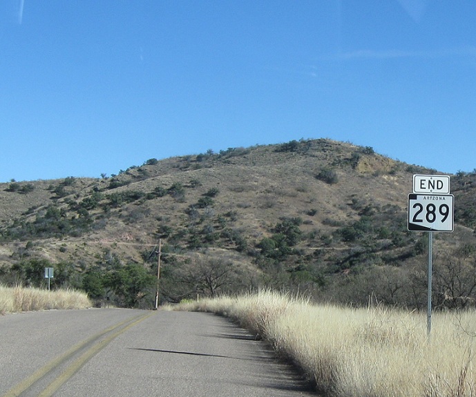
Location: Peña Blanca Lake Rd and SR 289, Santa Cruz
A couple miles after that turn, SR 289 will end just short of the lake. This road continues under National Forest Maintenance for another 1/2 mile before turning into a parking lot