
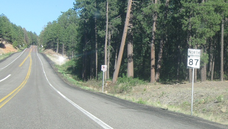
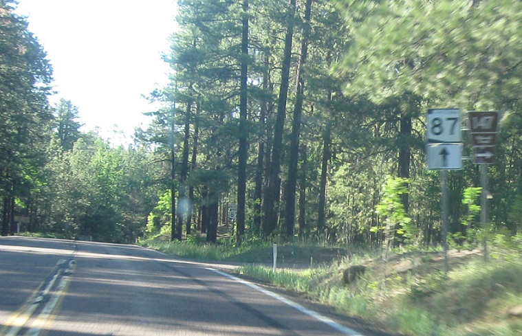
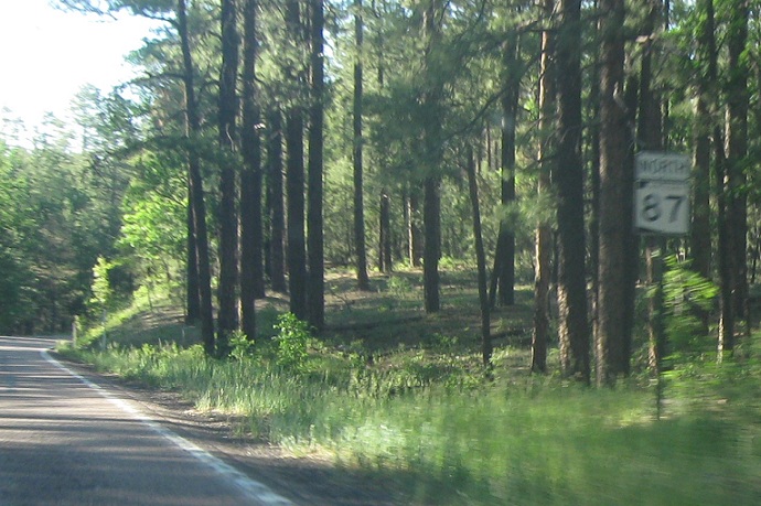
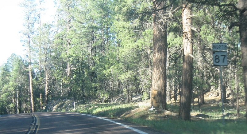
AMP: 278
Location: SR 87 and SR 260, Coconino Cty
Reassurance shield after the 260 split
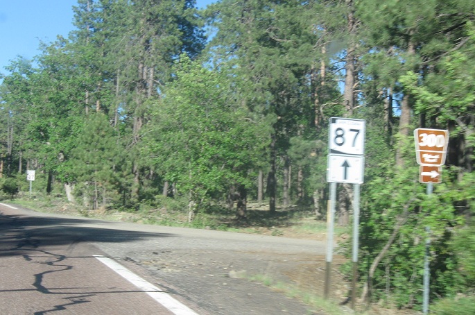
AMP: 280
Location: SR 87 and NF-300, Coconino Cty
About a mile and a half later, turn right for Route 300. Stay straight for SR 87
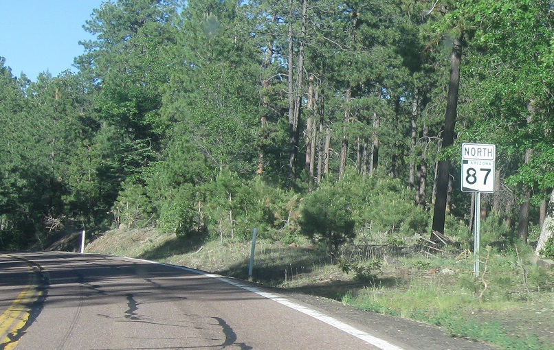
AMP: 280
Location: SR 87 and NF-300, Coconino Cty
Reassurance shield after the 300 junction
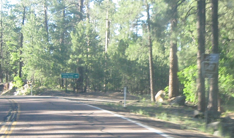
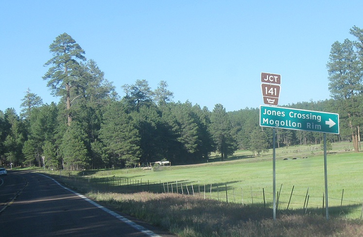
AMP: 283
Location: SR 87 and NF-147, Coconino Cty
A couple miles later, turn right for Route 147 towards Potato Lake
AMP: 283
Location: SR 87 and NF-147, Coconino Cty
Turn right for Route 147 and stay straight for SR 87
AMP: 283
Location: SR 87 and NF-147, Coconino Cty
Reassurance shield after NF-147
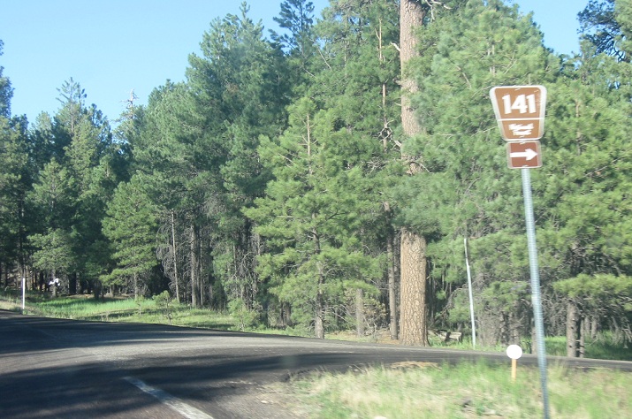
AMP: 284
Location: SR 87 and NF-141, Coconino Cty
Less than a mile later, turn right for Road 141
AMP: 284
Location: SR 87 and NF-141, Coconino Cty
Turn right for Road 141
AMP: 284
Location: SR 87 and NF-141, Coconino Cty
Reassurance shield after NF-141
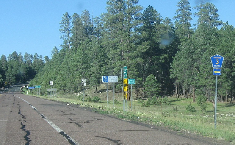
AMP: 290
Location: SR 87 and CR 3, Coconino Cty
A few miles later, turn left for Coconino County Road 3, a paved road up to Flagstaff
AMP: 290
Location: SR 87 and CR 3, Coconino Cty
Reassurance shield after CR 3
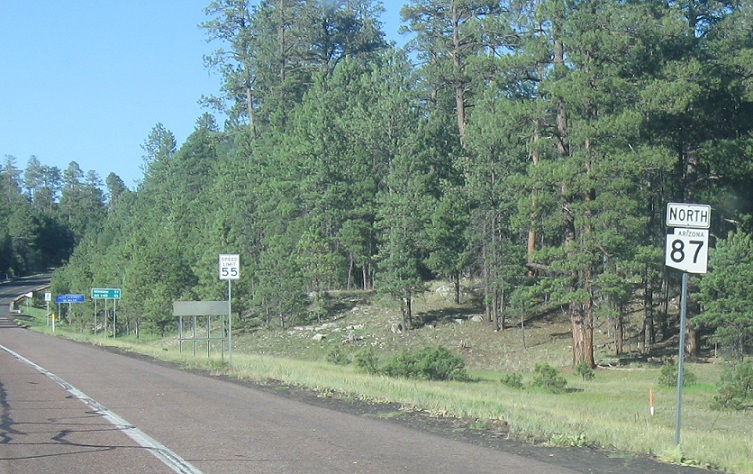
AMP: 290
Location: SR 87 and CR 3, Coconino Cty
55 miles to I-40
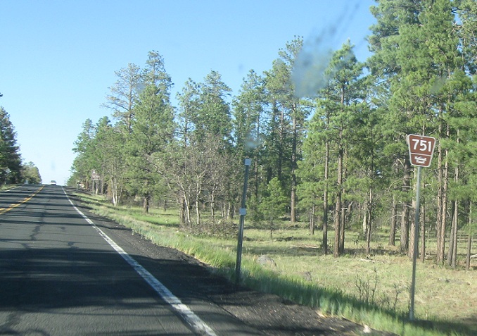
AMP: 295
Location: SR 87 and NF-751
Junction NF-751 coming up. No banner for some reason
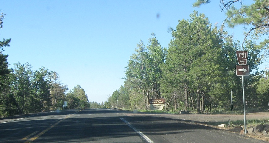
AMP: 295
Location: SR 87 and NF-751, Coconino Cty
Turn right for NF-751 towards Blue Ridge Reservoir
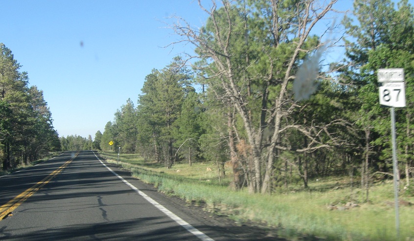
AMP: 295
Location: SR 87 and NF-751, Coconino Cty
Reassurance shield after NF-751
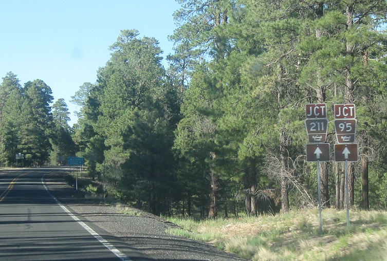
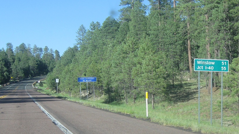
AMP: 299
Location: SR 87 and NF-95, Coconino Cty
A few miles later, we’ll approach NFs 95 and 211
AMP: 299
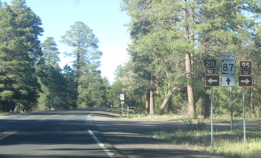
Location: SR 87 and NF 95, Coconino Cty
Turn right for NF 95 and left for NF 211
AMP: 299
Location: SR 87 and NF-95, Coconino Cty
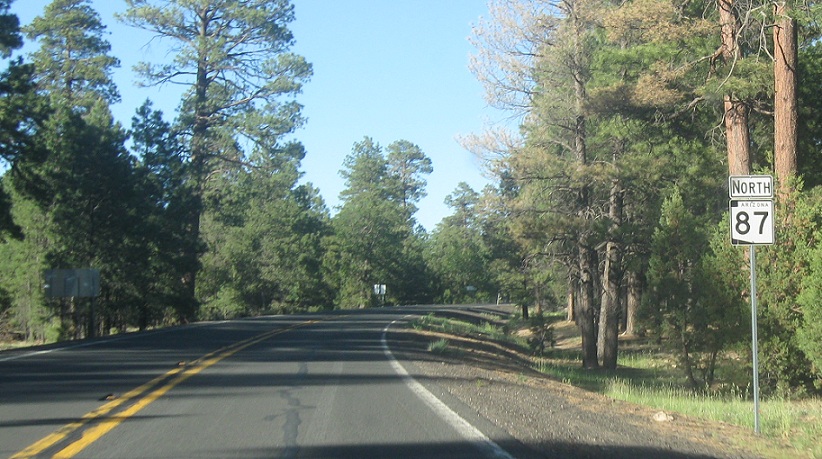
Reassurance shield after the forest road junctions
AMP: 300
Location: SR 87 and NF-95, Coconino Cty
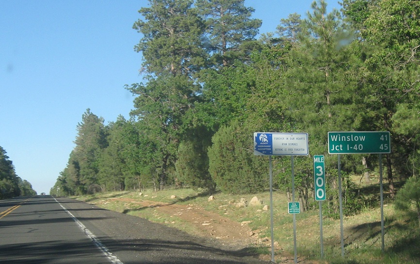
45 miles to I-40
AMP: 320
Location: SR 87 and County Rd, Coconino Cty
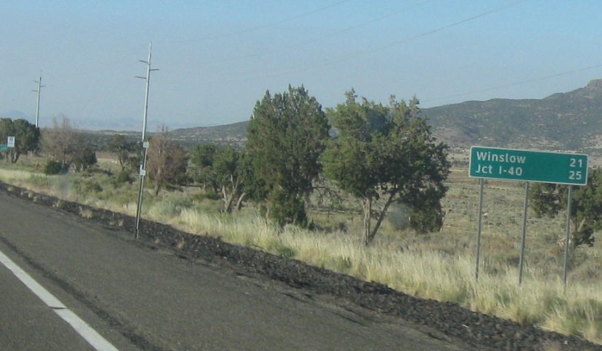
21 miles to I-40 a few miles after we leave the National Forest
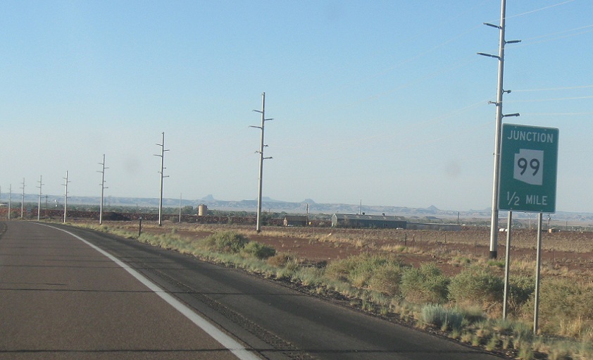
AMP: 340
Location: SR 87 and SR 99, Navajo Cty
Several miles later, we’ll enter Navajo County and approach SR 99
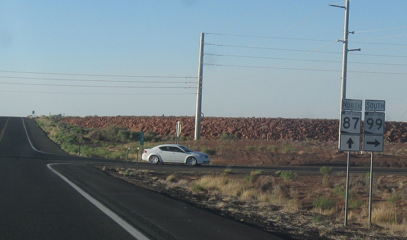
AMP: 340
Location: SR 87 and SR 99, Coconino Cty
Turn right for 99 south. Stay straight for 87 north and 99 north, which is sporadically signed and follows a very disjointed path. 99 heads northwest from here onto I-40 and then spurs to Leupp. Turning right here heads down to the forest boundary and ends. It’s one of the weirder highways in Arizona for sure.
 N to I-40 Bus/SR 99, S to SR 260
 N to I-40 Bus/SR 87, S to Sitgreaves Nat’l Forest

