
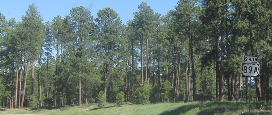
AMP: 579
Location: US-89A and SR 67, Jacob Lake, Coconino Cty
Reassurance shield after the 67 junction as we head out Jacob Lake
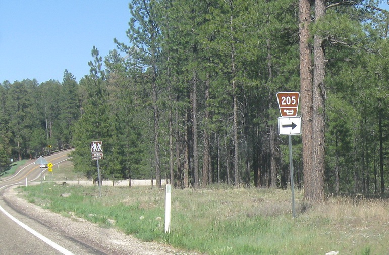
AMP: 577
Location: US-89 and NF-205, Coconino Cty
About a mile east of Jacob Lake, turn right for NF-205
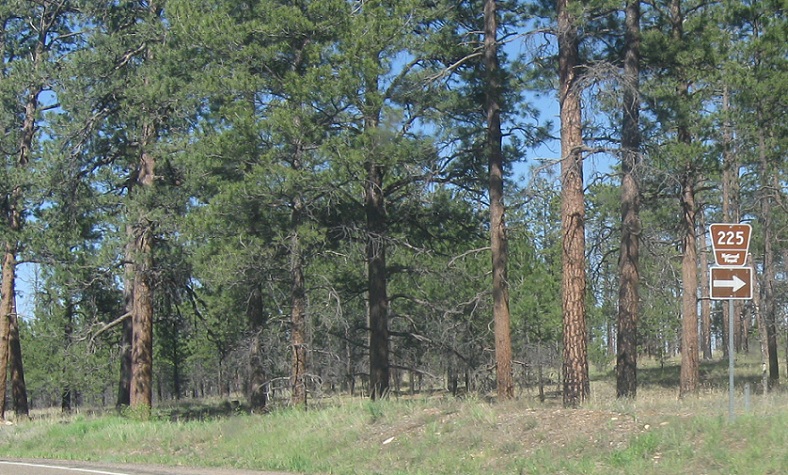
AMP: 576
Location: US-89 and NF-225, Coconino Cty
About a mile later, turn right for NF-225
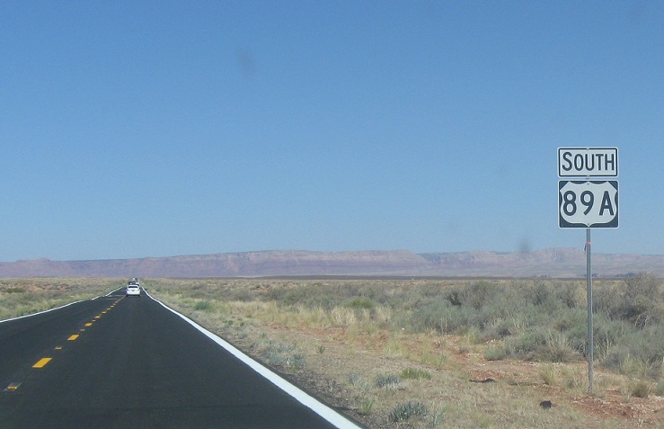
AMP: 562
Location: US-89A and House Rock Rd, Coconino Cty
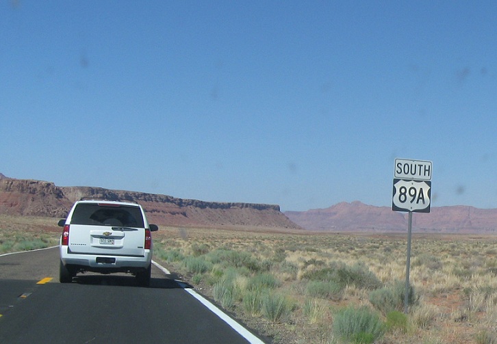
A few miles later, we’ll descend back into the high desert near the Vermilion Cliffs and get a reassurance shield
AMP: 547
Location: US-89A and County Rd, Coconino Cty
Random reassurance shield about 20 miles later. This area is scenic because of the rock faces, but really desolate
AMP: 540
Location: US-89A and Vermilion Cliffs Rd, Vermilion Cliffs, Coconino Cty
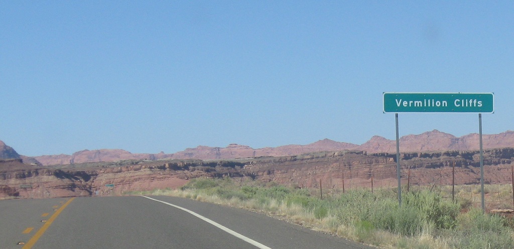
There is a small settlement at the base of the Vermilion Cliffs, which we’ll approach a few miles later
AMP: 540
Location; US-89 and Vermilion Cliffs Rd, Coconino Cty
200 yards or so later, we’re 18 miles from US-89
AMP: 537
Location: US-89A and Lee’s Ferry Rd, Marble Canyon, Coconino Cty
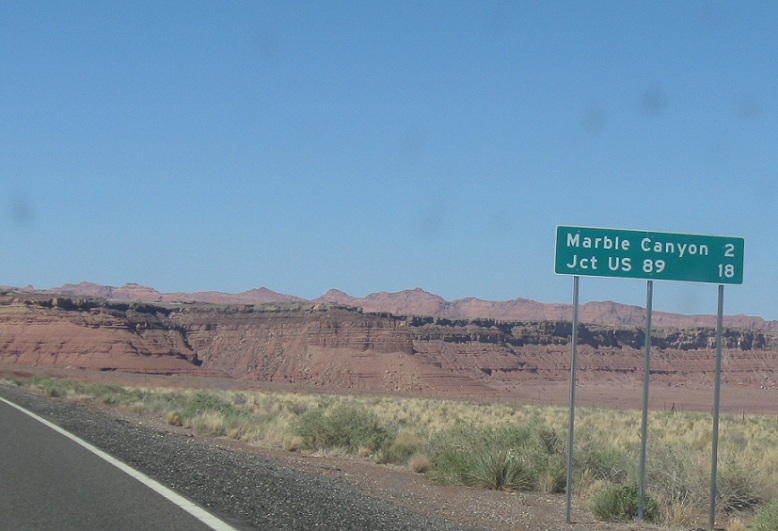
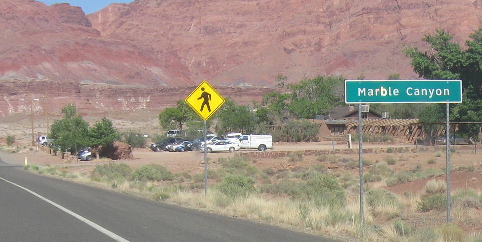
2 miles later, we’ll approach Marble Canyon, which has a little more to it than Vermilion Cliffs
AMP: 537
Location: US-89A and Lee’s Ferry Rd, Coconino Cty
Impressive views and 14 miles to US-89 as we leave the town of Marble Canyon
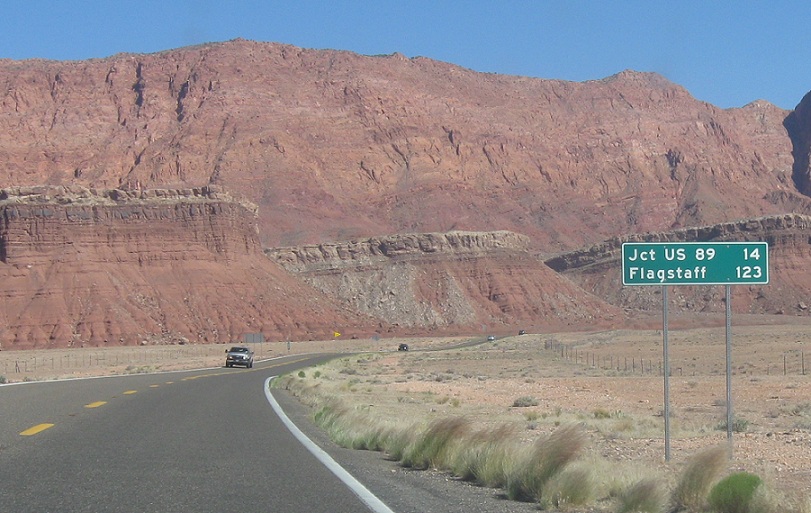
AMP: 524
Location: US-89A and US-89, Coconino Cty
14 miles later, we’ll approach US-89
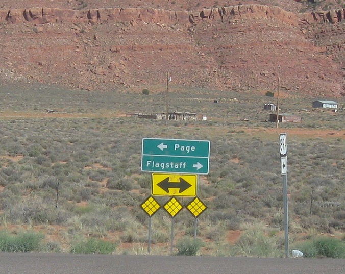
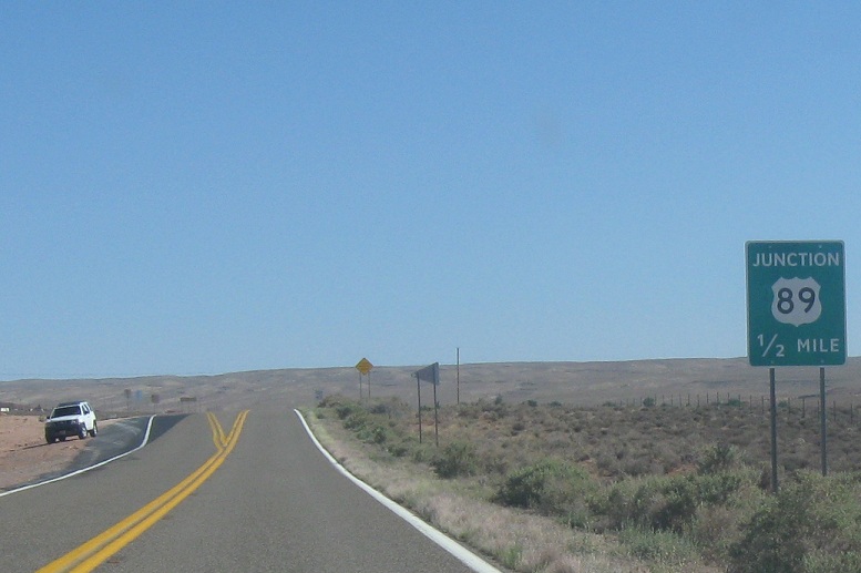
AMP: 523
Location: US-89A and US-89, Coconino Cty
Follow 89 south to Flagstaff and 89 north to Page. US-89A ends.


 S to Grand Canyon National Park
