
AMP: 393
Location: US-160 and US-163, Navajo Cty
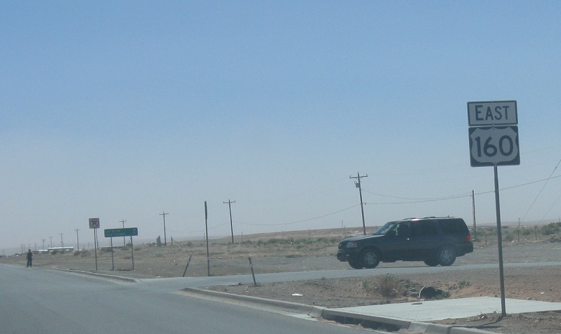
Reassurance shield after 163 as we head out of Kayenta. This is some desolate country.
Location: US-160 and US-163, Navajo Cty
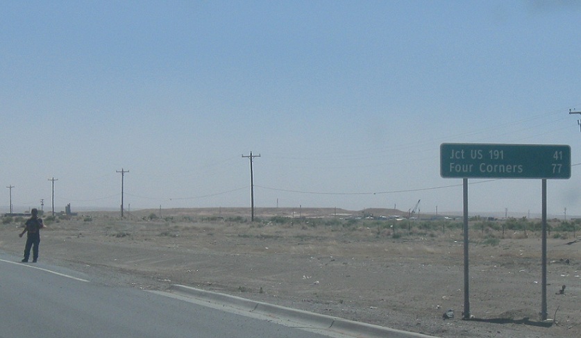
41 miles to US-191. This is about the most boring 41 miles you’ll ever drive on. Good time to pick up a Navajo hitch hiker, honestly.
AMP: 401
Location: US-160 and BIA 59, Navajo Cty
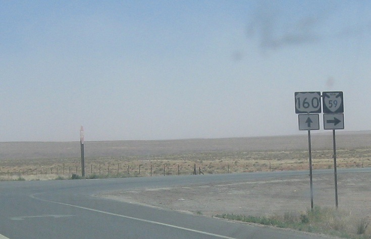
8 miles later, we’ll approach Indian 59, which heads down to Chinle
AMP: 401
Location: US-191 and Indian 59, Navajo Cty
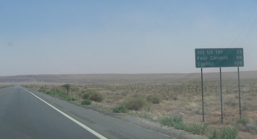
33 miles to US-191. Cortez, Colorado appears as a destination for the first time. People talk about the Oklahoma Panhandle as desolate, but I visited this area and that area within a week of each other and this is way more boring and desolate.
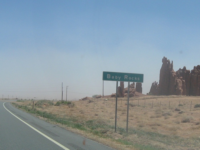
AMP: 402
Location: US-160 and Local Rd, Baby Rocks, Navajo Cty
The only thing this area has is the occasional rock formation, and those are nifty, but not all that frequent.
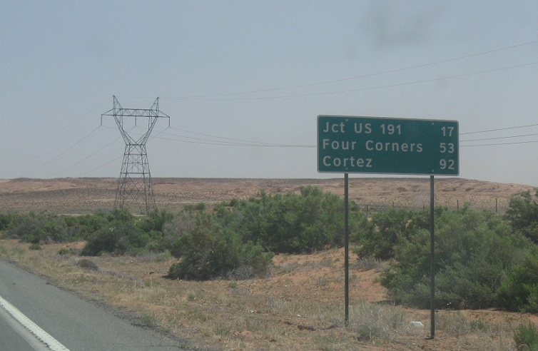
AMP: 416
Location: US-191 and Dennehotso Rd, Apache Cty
A few miles later, we’re 17 miles from US-191
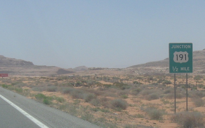
AMP: 434
Location: US-160 and US-191, Apache Cty
Several miles later, we’ll approach US-191

AMP: 434
Location: US-160 and US-191, Apache Cty
Follow 191 south to Chinle and Ganado. There’s a McDonalds in Window Rock and Shiprock, if that’s interesting.
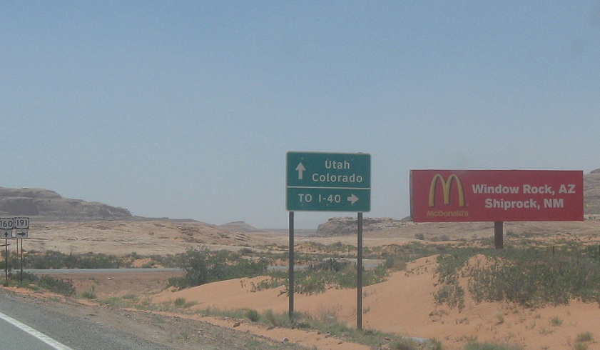
AMP: 434
Location: US-160 and US-191, Apache Cty
Follow 191 south to I-40 (!) which is a hell of a trek. Stay on 160 west/191 north for Utah and Colorado.
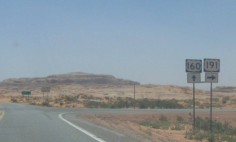
AMP: 434
Location: US-160 and US-191, Apache Cty
Turn right for 191 south. Stay straight for 160 west/191 north. As far as ADOT is concerned, this is the technical end of US-191. 160 carries it a few miles, and then BIA 12 carries it up to Utah, maintained by the BIA instead of ADOT. UDOT maintains it once we hit Utah.


