
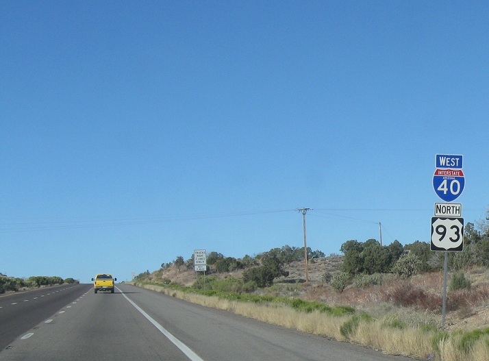
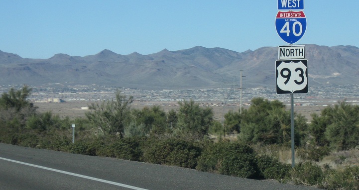
AMP: 71
Location: I-40 and US-93, Mohave Cty
Reassurance shield as US-93 joins I-40. The two routes run together to Kingman
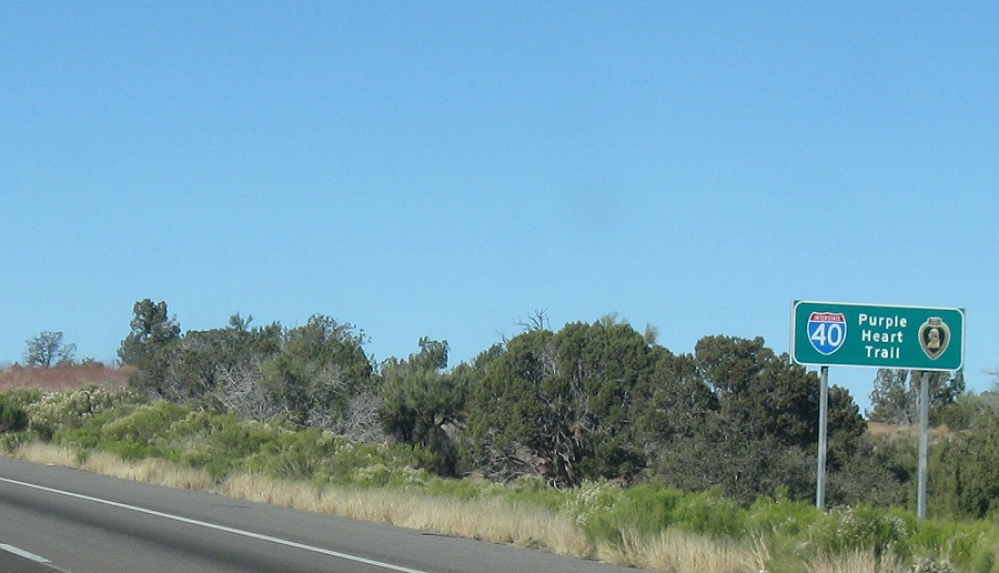
AMP: 70
Location: I-40 and US-93, Mohave Cty
I-40 is the Purple Heart Trail through Arizona
AMP: 66
Location: I-40 and Blake Ranch Rd, Mohave Cty
Reassurance shield after the Blake Ranch Rd interchange
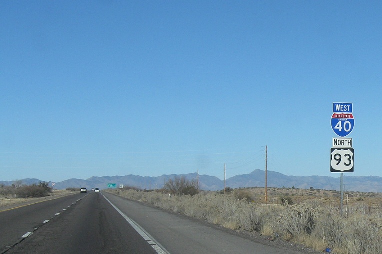
AMP: 60
Location: I-40 and DW Ranch Rd, Mohave Cty
A couple miles later, we’ll approach DW Ranch Rd, which is also CR 259
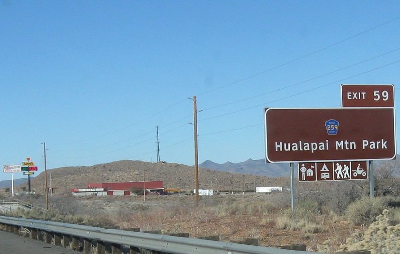
AMP: 59
Location: I-40 and DW Ranch Rd, Mohave Cty
Reassurance shield after DW Ranch Rd as Kingman becomes visible
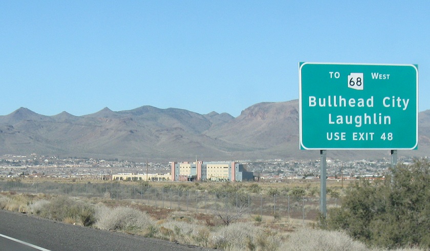
AMP: 55
Location: I-40 and Route 66, Kingman
As we approach Kingman, we’re advised to use SR 68 and Exit 48 for Bullhead City and Laughlin, Nevada
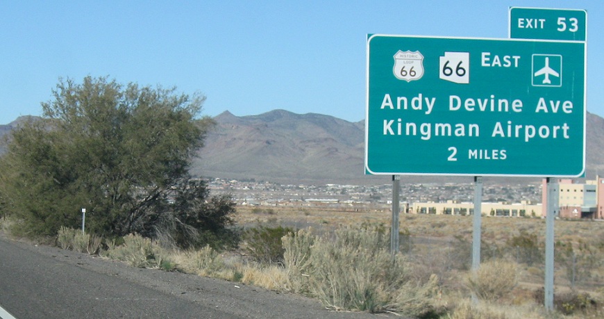
AMP: 55
Location: I-40 and Andy Devine Ave, Kingman
2 miles to junction SR 66/Route 66. I-40 Business is signed as Route 66 through Kingman, with nary an I-40 Business shield to be found. SR 66 is also mostly signed as Route 66
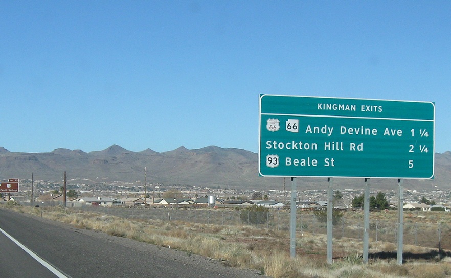
AMP: 54
Location: I-40 and Andy Devine Ave, Kingman
1 1/4 miles to Old 66/SR 66/I-40 Business. 5 miles to the US-93 split
AMP: 54
Location: I-40 and Andy Devine Ave, Kingman
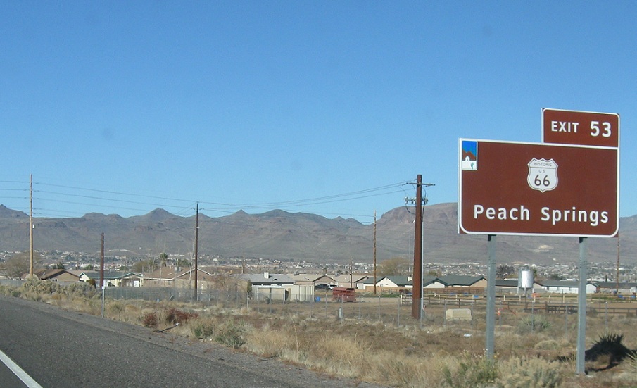
Follow SR 66/Route 66 east towards Peach Springs
AMP: 54
Location: I-40 and Andy Devine Ave, Kingman
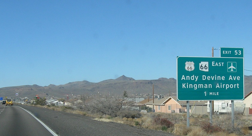
1 mile until the 66s exit
AMP: 53
Location: I-40 and Andy Devine Ave, Kingman
1/4 mile to until the SR 66/I-40 Business (Route 66) exit
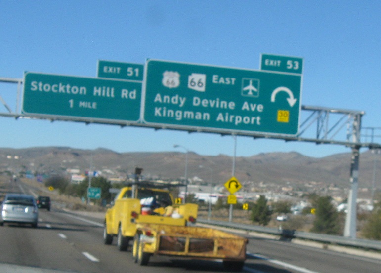
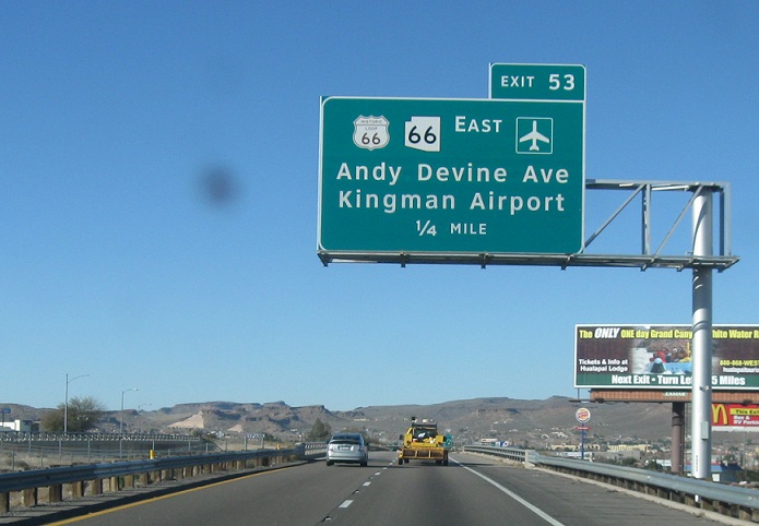
AMP: 53
Location: I-40 and Andy Devine Ave, Kingman
Exit for State Route 66 east and I-40 Business west. Both routes are signed as Route 66
 N to I-40/I-40 Bus, S to SR 97
 W to I-40 Bus/US-93, E to I-40 Bus


W to I-40 Bus/SR 66, E to I-40 Bus
