
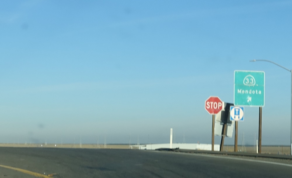
APM: 40
Location: SR 33 and I-5, Fresno Cty
At the SR 33 split from I-5, turn right to stay on 33 north to Mendota.
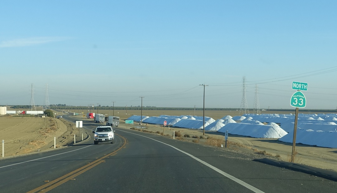
APM: 40
Location: SR 33 and I-5, Fresno Cty
Reassurance shield after the turn.
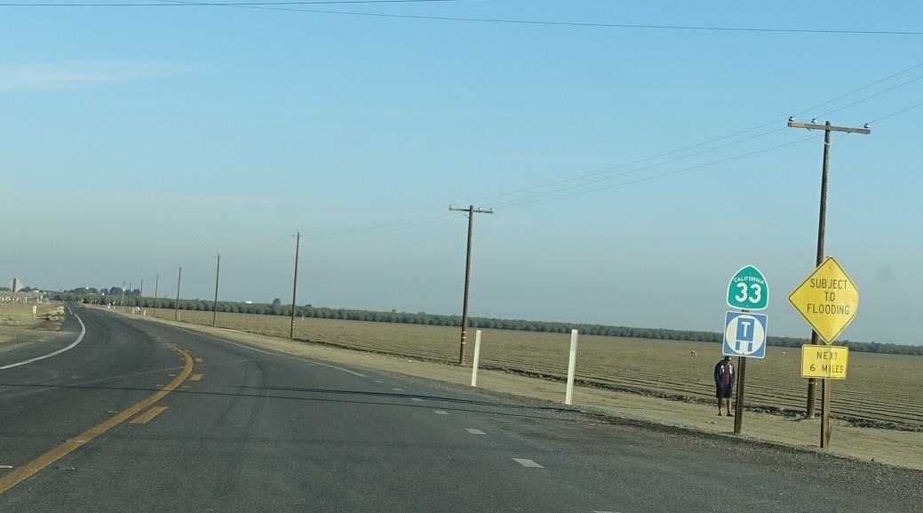
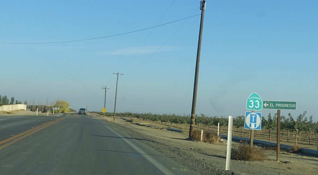
APM: 40
Location: SR 33 and Harlan Ave, Fresno Cty
Reassurance shield a few hundred feet later.
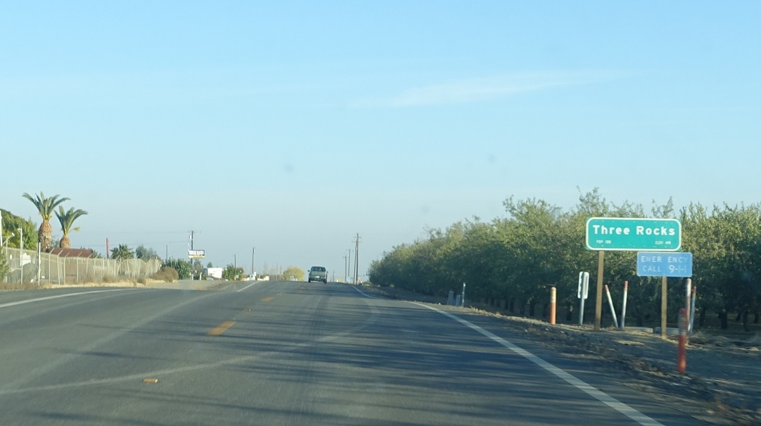
APM: 44
Location: SR 33 and Clarkson Ave, Three Rocks, Fresno Cty
A few miles later, we’ll pass through unincorporated Three Rocks.
APM: 44
Location: SR 33 and Clarkson Ave, Three Rocks, Fresno Cty
Reassurance shield after Clarkson Avenue as we pass by Three Rocks.
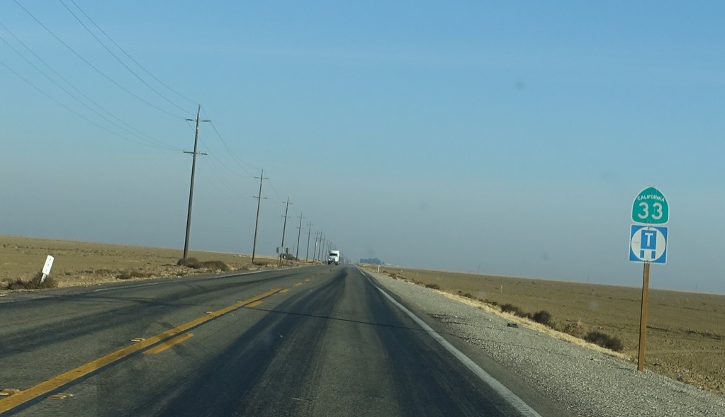
APM: 53
Location: SR 33 and Adams Ave, Fresno Cty
Reassurance shield after Adams Avenue – which is most notable because 33 miles east of here it serves as part of Easton’s SR 41 Business.
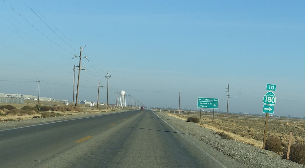
APM: 59
Location: SR 33 and Panoche Rd, Fresno Cty
A few miles later, we’ll approach Panoche Rd, which is the fastest way to SR 180 east from here. The western terminus of 180 is still a few miles ahead in Mendota.
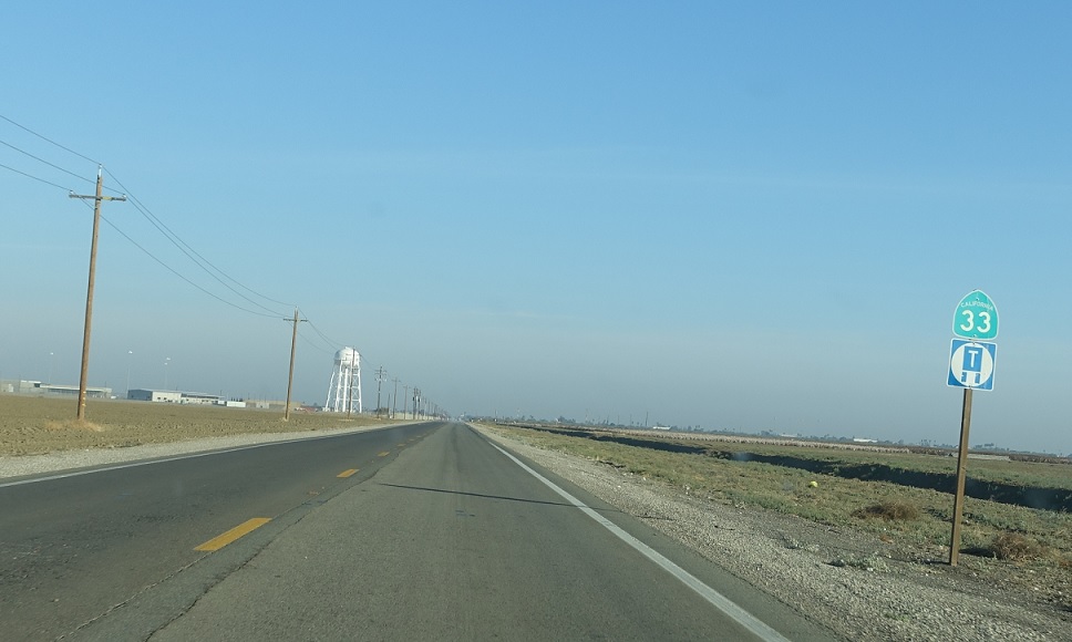
APM: 59
Location: SR 33 and Panoche Rd, Fresno Cty
Reassurance shield after Panoche Rd as Mendota starts to come into view.

APM: 61
Location: Derrick Ave and Belmont Ave, Mendota
Welcome to Mendota!
APM: 62
Location: Derrick Ave and Oller St, Mendota
SR 33 treks along the western edge of Mendota and approaches SR 180 towards the north end of town.
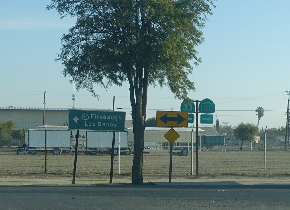
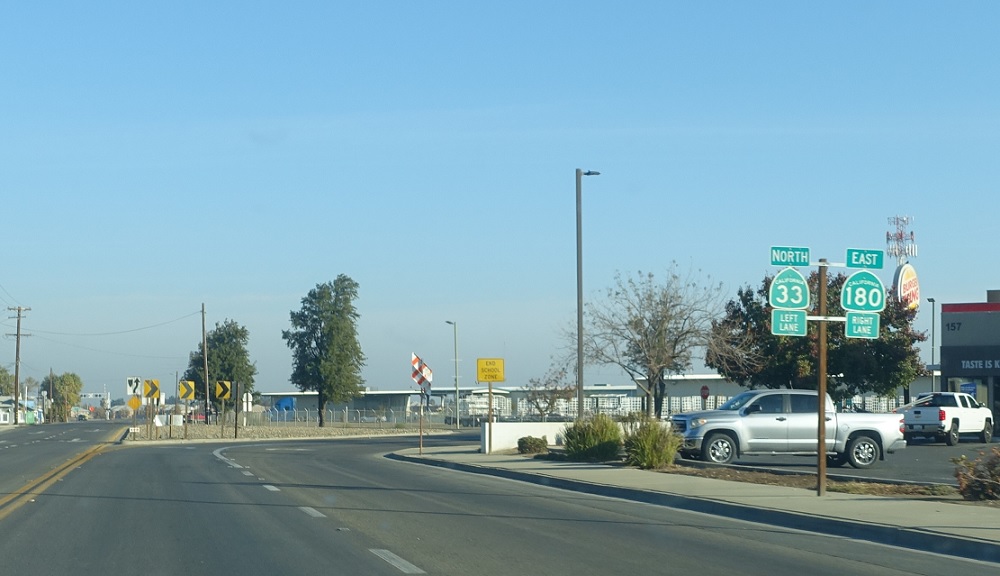
APM: 62
Location: Derrick Ave and Oller St, Mendota
Turn right for SR 180 east, which is the main route to Fresno and on to Kings Canyon and Sequoia National Parks. Turn left for 33 north towards Firebaugh and Los Banos.


 N to SR 165, S to SR 33/SR 145
