
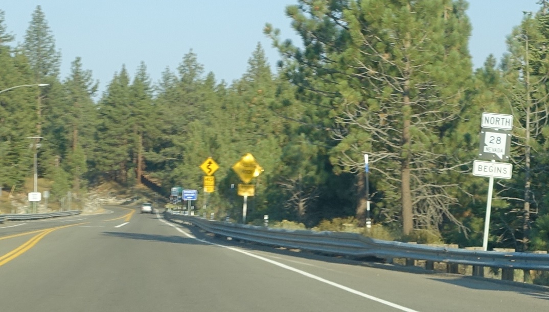
Location: SR 28 and US 50, Douglas Cty
SR 28 begins. SR 28 is the lowest-numbered state highway in Nevada, but is numbered to match California 28.
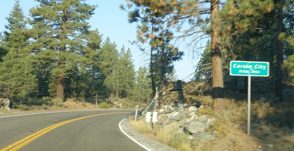
Location: SR 28 and Spooner Lake Rd, Carson City
A couple miles later, we’ll enter Carson City – but the rural area that is not connected to the rest of the city.
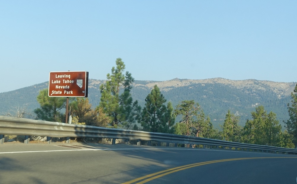
Location: SR 28 and Lakeshore Blvd, Washoe Cty
Several miles later, we’ll head out of Lake Tahoe Nevada State Park after we enter Washoe County. SR 28 is surprisingly not that scenic given how it looks on a map – it’s mostly just a bit too far from the lake to be that interesting.
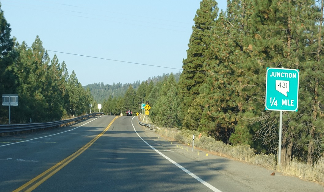
Location: Tahoe Blvd and Mt Rose Hwy, Incline Village, Washoe Cty
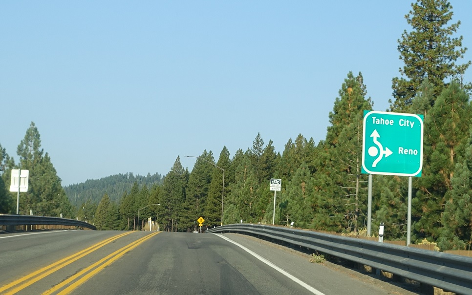
A few miles later, we’ll approach SR 431.
Location: Tahoe Blvd and Mt Rose Hwy, Incline Village, Washoe Cty
Follow 431 over to Reno. Stay on 28 for Tahoe City, Calif.
Location: Tahoe Blvd and Mt Rose Hwy, Washoe Cty
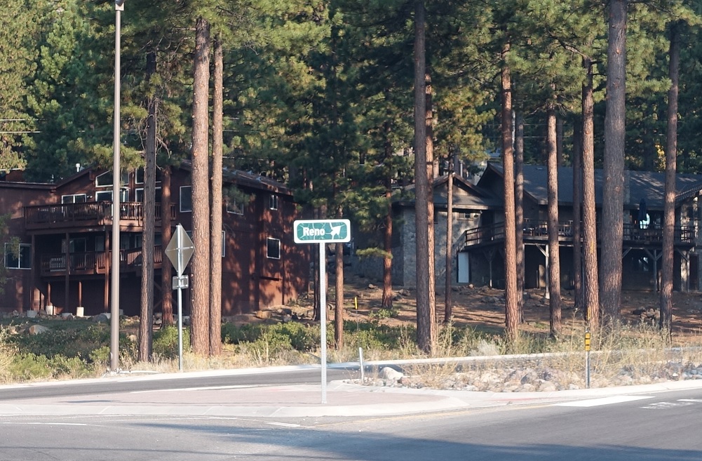
Keep right for 431 east to Reno.
Location: Tahoe Blvd and Mt Rose Hwy, Washoe Cty
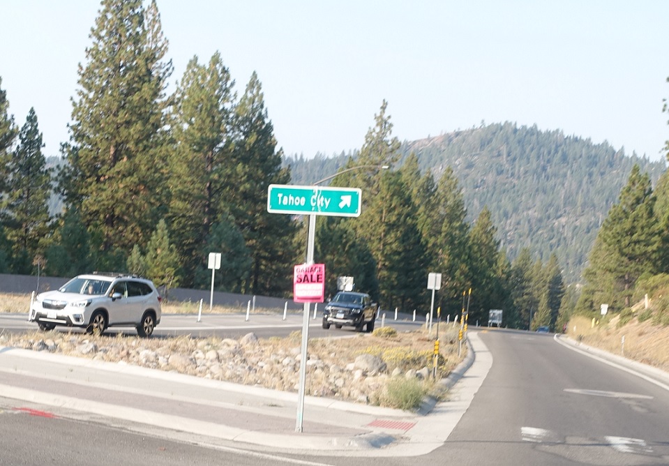
Keep right for 28 north to California.


 W to SR 760, E to I-580/US-395/US-395 Bus
