
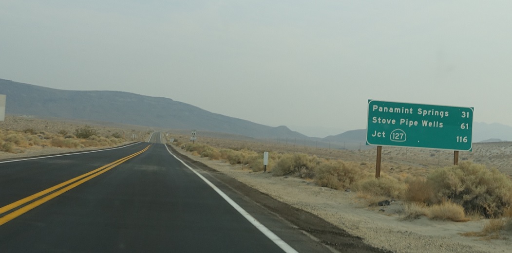
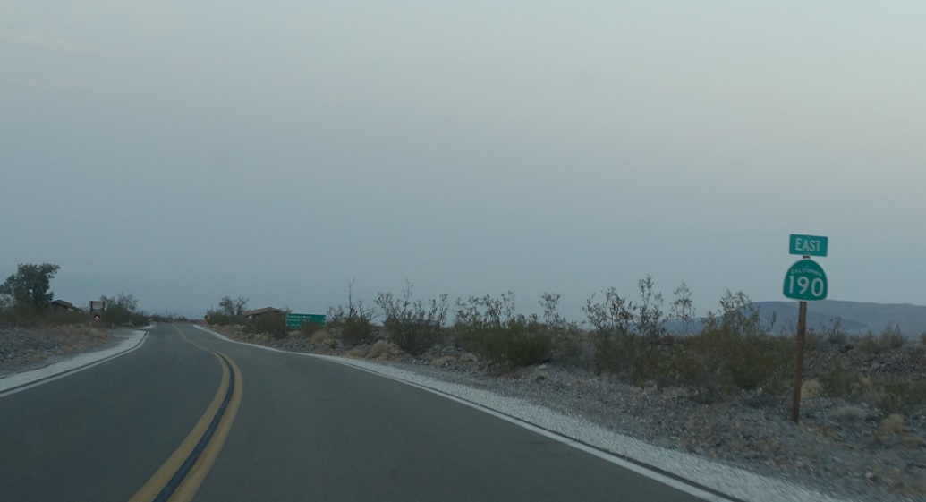
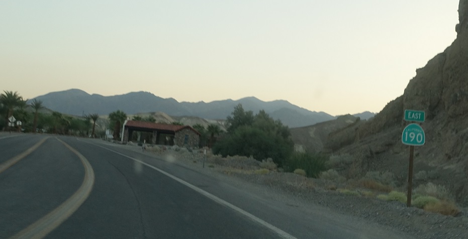
APM: 25
Location: SR 190 and SR 136, Inyo Cty
After the 136 junction we’re 116 miles from SR 127.
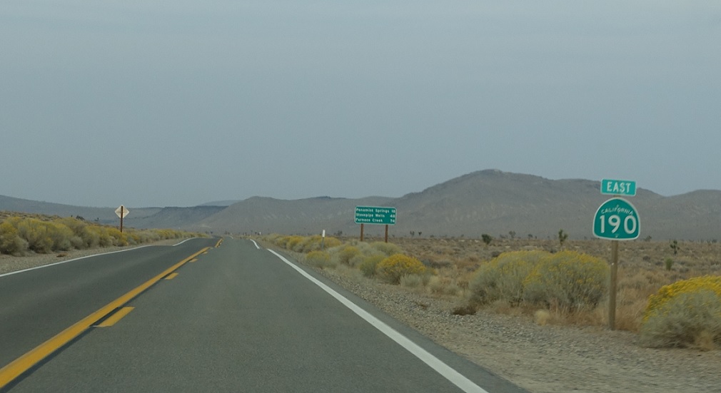
APM: 37
Location: SR 190 and Darwin Rd, Inyo Cty
Reassurance shield after the turnoff to Darwin.
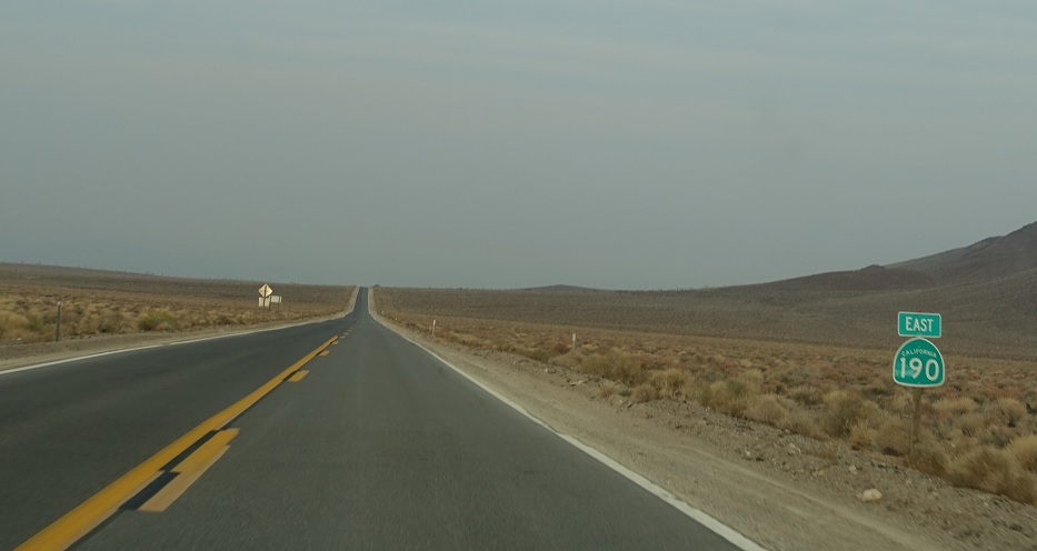
APM: 41
Location: SR 190 and Saline Valley Rd, Inyo Cty
Another reassurance shield a couple miles later as we near the Death Valley National Park Entrance.
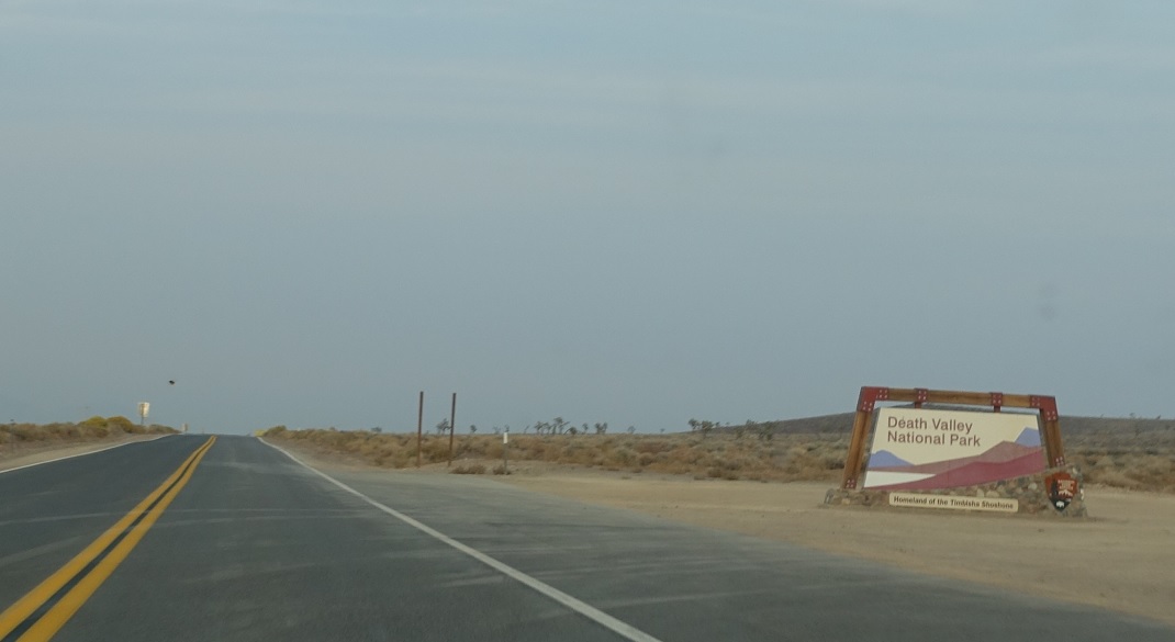
APM: 42
Location: SR 190 and Saline Valley Rd, Inyo Cty
Welcome to Death Valley National Park!
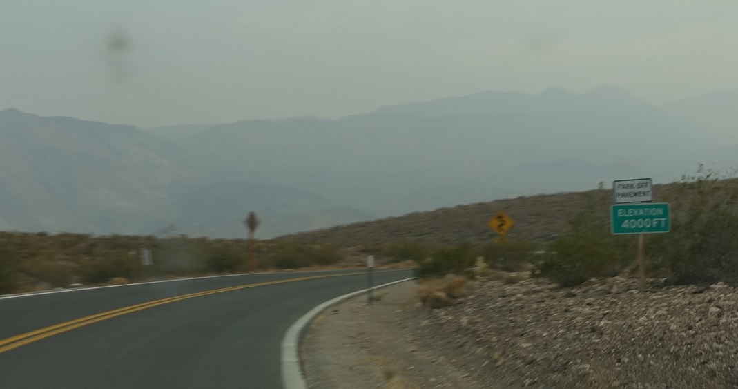
APM: 47
Location: SR 190 and Father Crowley Overlook Rd, Inyo Cty
SR 190 through Death Valley has some fairly rapid and significant elevation changes. We’ll climb up to nearly 5000 feet on a couple occasions while also spending some time well below sea level. It’s a fun drive.
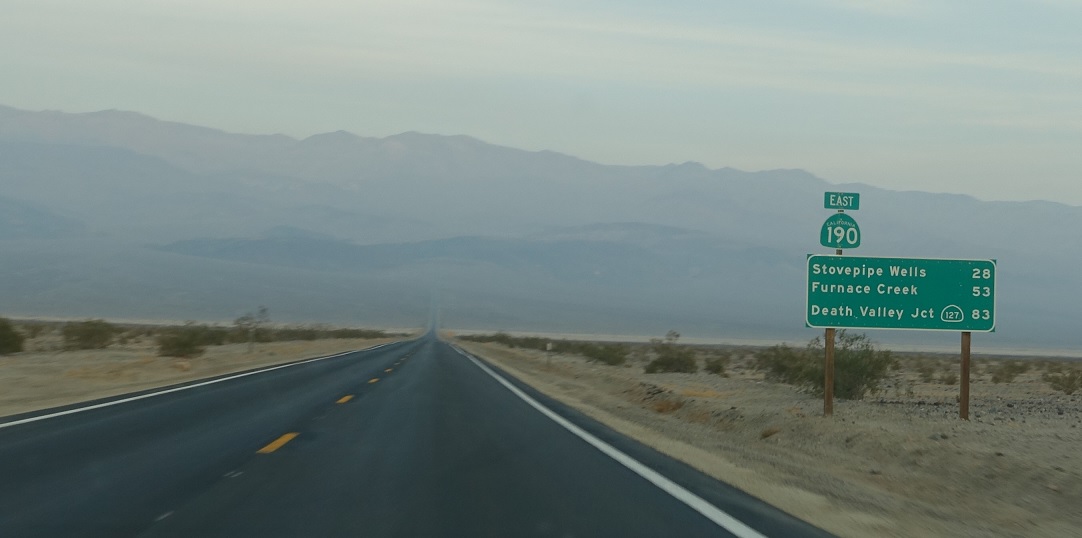
APM: 58
Location: SR 190 and Panamint Valley Rd, Inyo Cty
Reassurance shield as we drop into Panamint Valley – as you can see in the distance we’ll soon climb back up over another mountain pass. 83 miles to SR 127.
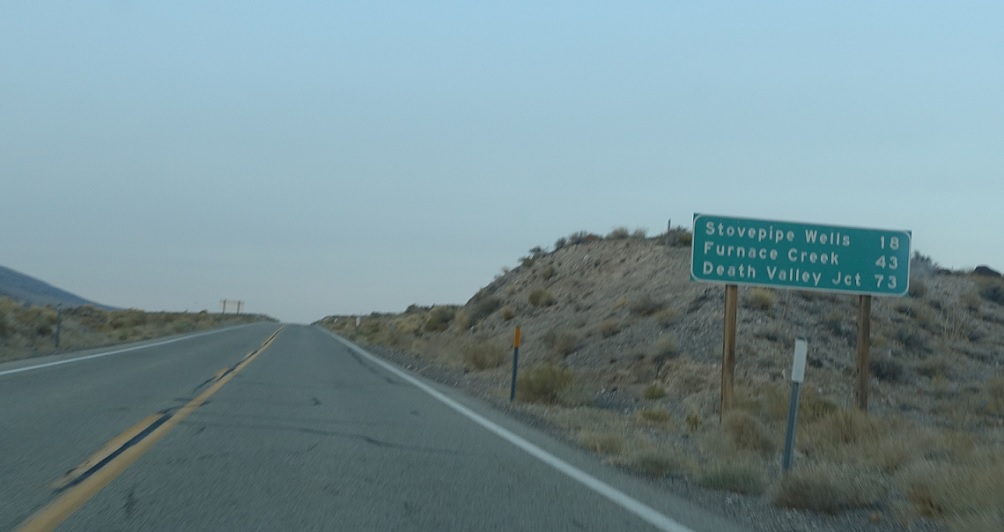
APM: 68
Location: SR 190 and Emigrant Canyon Rd, Inyo Cty
Mileage sign ten miles later.
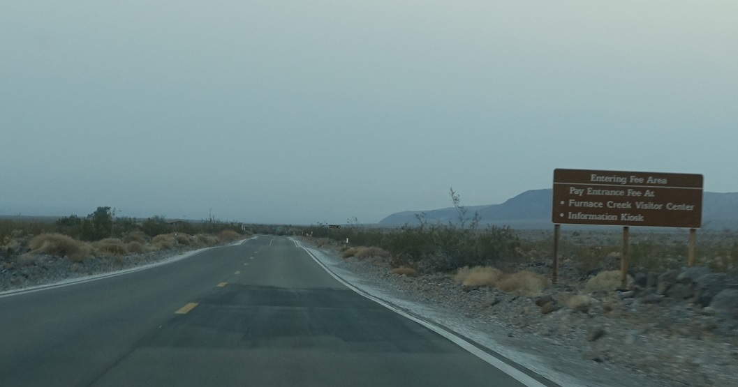
APM: 73
Location: SR 190 and Emigrant Canyon Rd, Inyo Cty
As we near the Emigrant Canyon turnoff, we’ll enter Death Valley’s fee area.
APM: 76
Location: SR 190 and Emigrant Canyon Rd, Inyo Cty
Reassurance shield after the Emigrant Canyon turnoff.
APM: 76
Location: SR 190 and Emigrant Canyon Rd, Inyo Cty
64 miles to SR 127.
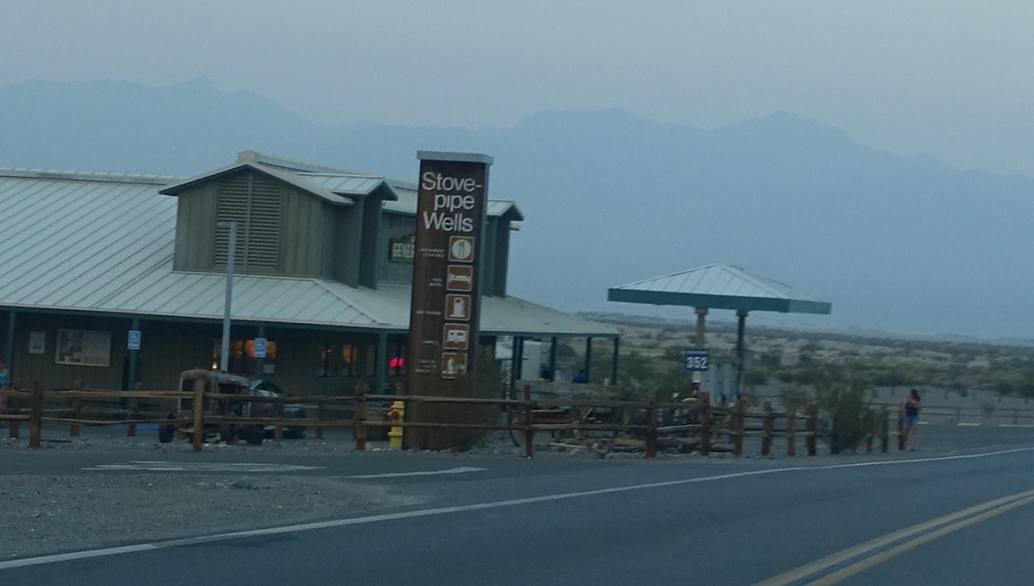
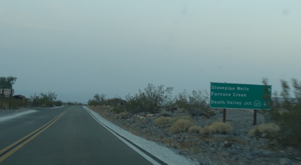
APM: 85
Location: SR 190 and Cottonwood Canyon Rd, Stovepipe Wells, Inyo Cty
A few miles later, we’ll pass by Stovepipe Wells, labelled by this unique sign.
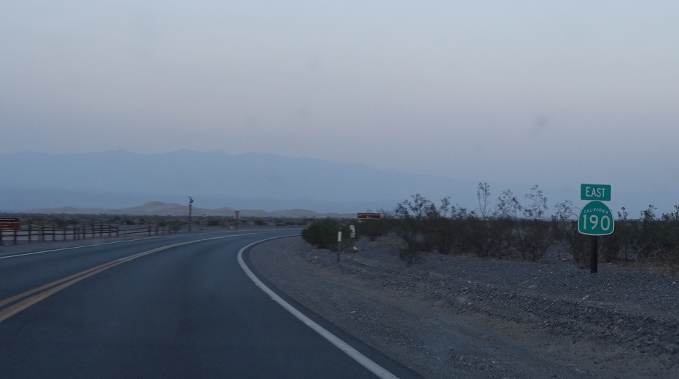
APM: 85
Location: SR 190 and Cottonwood Canyon Rd, Inyo Cty
Reassurance shield as we head out of Stovepipe Wells.
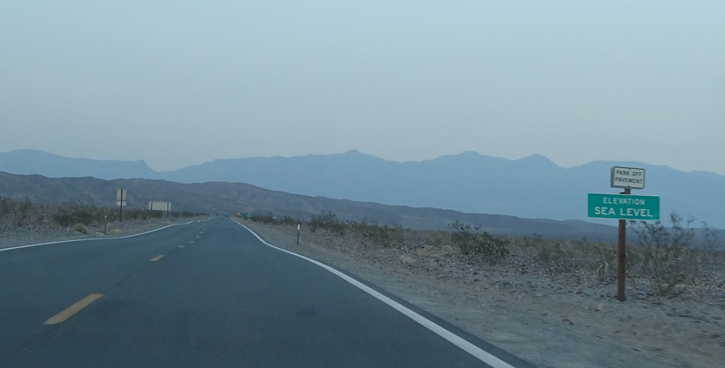
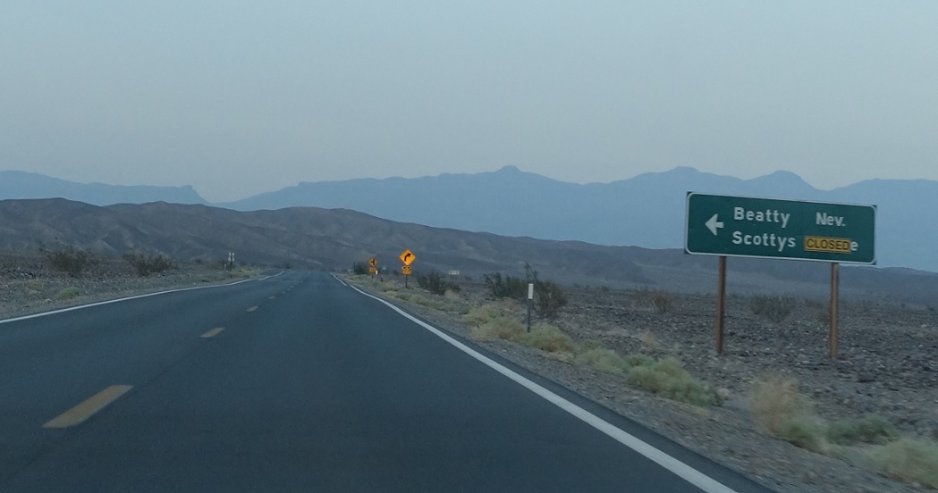
APM: 92
Location: SR 190 and Scotty’s Castle Rd, Inyo Cty
We’ll descend to Sea Level for the first time near the Scotty’s Castle turnoff.
APM: 92
Location: SR 190 and Scotty’s Castle Rd, Inyo Cty
Follow Scotty’s Castle Rd to Nevada SRs 374 and 267 and the town of Beatty.
APM: 92
Location: SR 190 and Scotty’s Castle Rd, Inyo Cty
Reassurance shield after the Scotty’s Castle turnoff.
APM: 92
Location: SR 190 and Scotty’s Castle Rd, Inyo Cty
47 miles to SR 127.
APM: 100
Location: SR 190 and Beatty Cutoff Rd, Inyo Cty
Reassurance shield after another cutoff road towards Nevada SR 374.
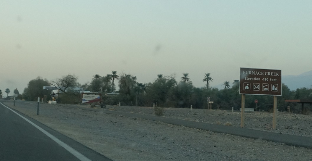
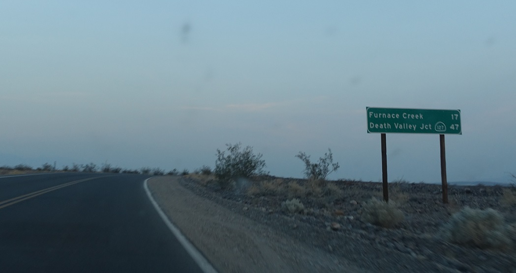
APM: 110
Location: SR 190 and Furnace Creek Rd, Furnace Creek, Inyo Cty
A few miles later, we’ll enter the community of Furnace Creek, which is the largest settlement in Death Valley National Park.
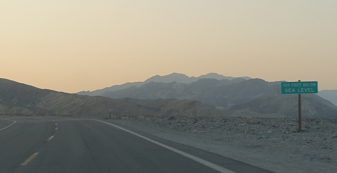
APM: 110
Location: SR 190 and Furnace Creek Rd, Furnace Creek, Inyo Cty
As we head out of Furnace Creek we’ll climb to 100 feet below Sea Level. I actually camped here when I clinched this – I assume this is the lowest place I will ever sleep, at least until I go to hell.
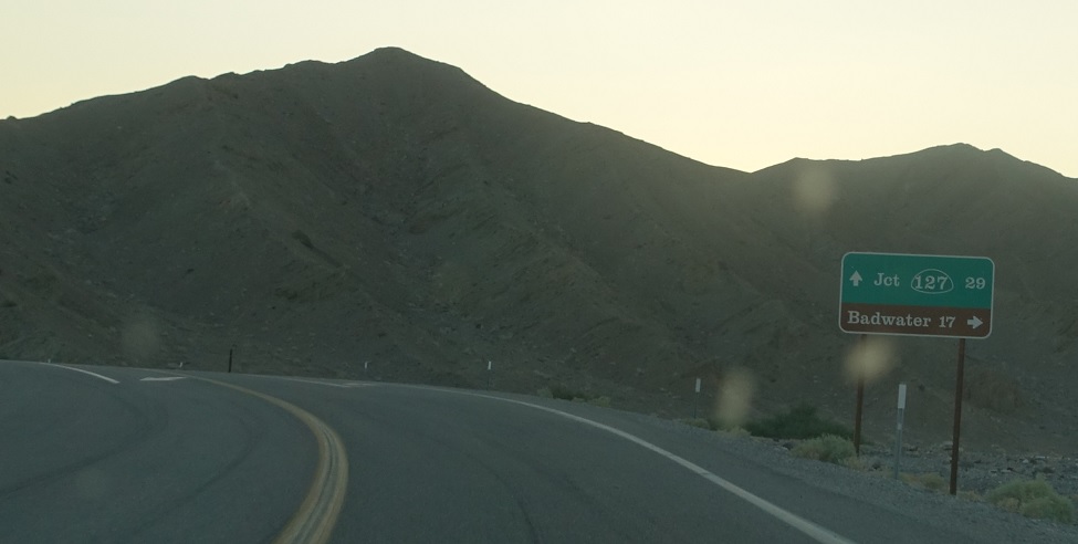
APM: 111
Location: SR 190 and Badwater Rd, Inyo Cty
Just after that…yuck. Stay straight for the serifed SR 127. Turn right for Badwater Basin, the lowest point in the Western Hemisphere.
APM: 111
Location: SR 190 and Badwater Rd, Inyo Cty
Reassurance shield after the SR 127 junction.
APM: 122
Location: SR 190 and Furnace Creek Wash Rd, Inyo Cty
Reassurance shield after the turnoff to Dante’s View.
APM: 123
Location: SR 190 and Furnace Creek Wash Rd, Inyo Cty
Reassurance shield and mileage sign a mile later.
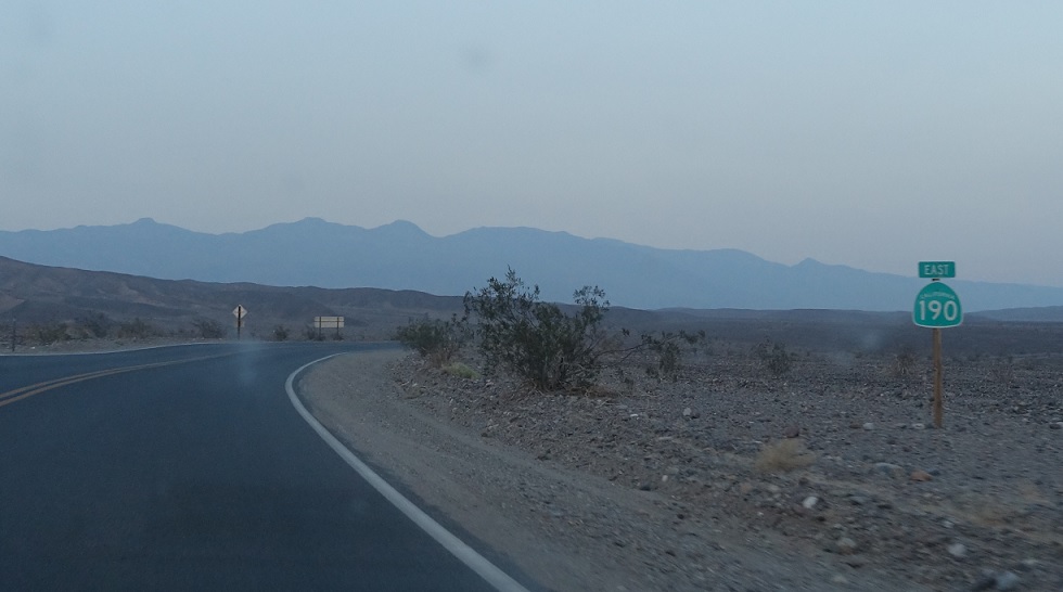
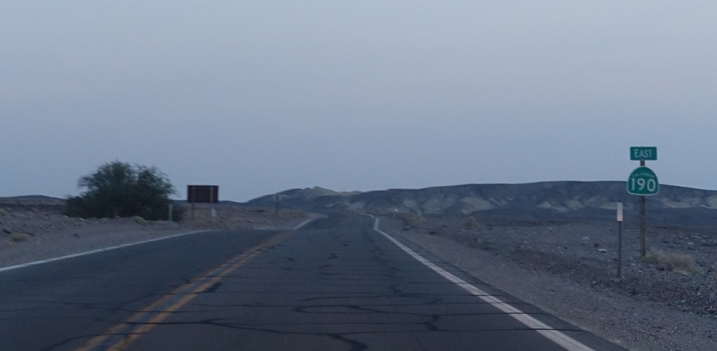
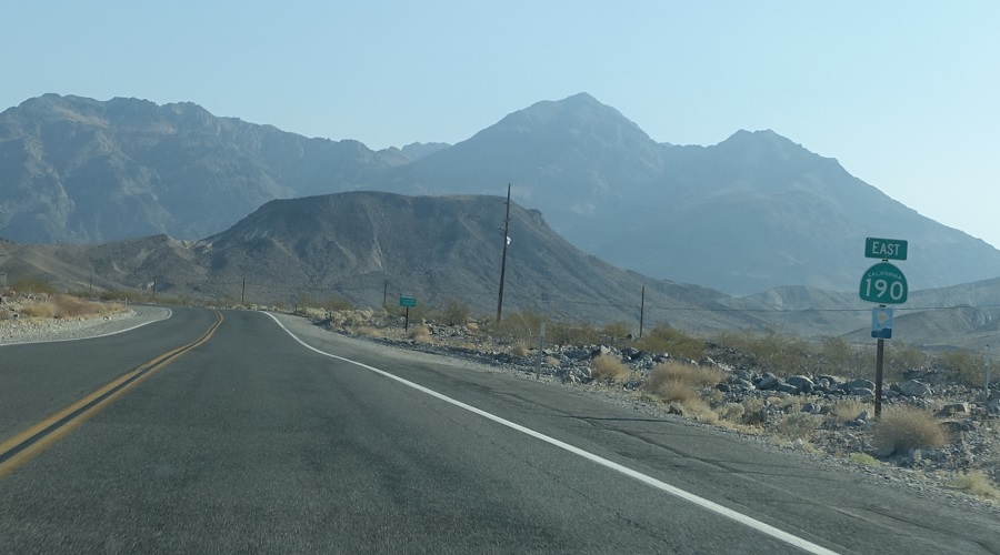
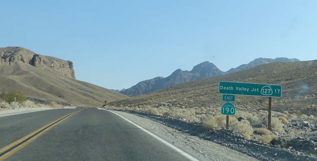
APM: 140
Location: SR 190 and SR 132, Inyo Cty
Seventeen miles later, we’ll approach SR 127. Follow 127 south to Shoshone and 127 north to Lathrop Wells, which is a random Nevada place name.
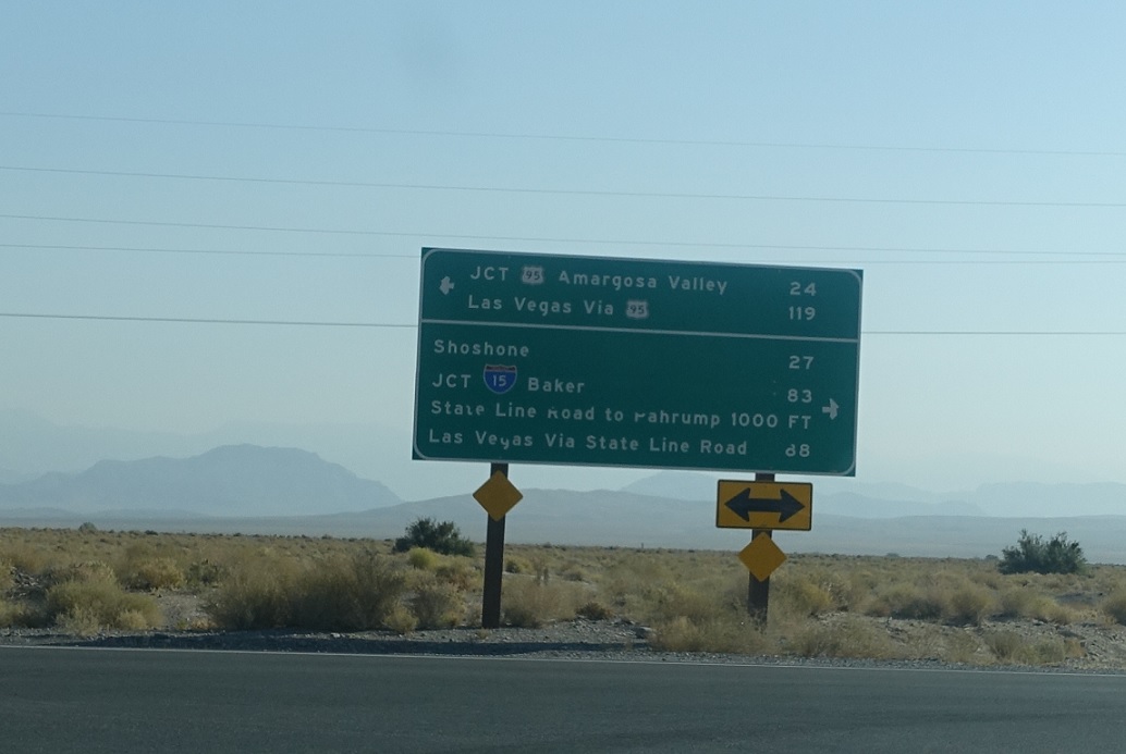
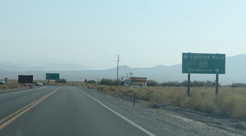
APM: 140
Location: SR 190 and SR 127, Inyo Cty
I love a good informational sign. Turn left for Nevada’s US 95 and Las Vegas via US 95. Turn right to connect to State Line Rd, which connects to Nevada 160 and is a far faster route to Vegas. Follow 127 south to I-15 and Baker. SR 190 ends.

 S to SR 178, N to NV-373/NV State Line

