
Location: Av. Castellot and MX 180, Champoton
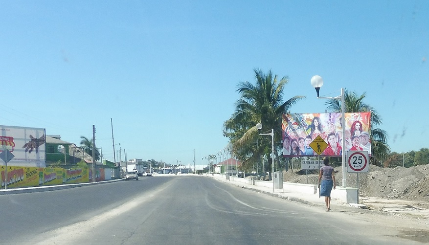
No signage as this segment of MX 261 begins. There is a weird x5 km/h speed limit though!
Location: MX 261 and Av. 500, Champoton
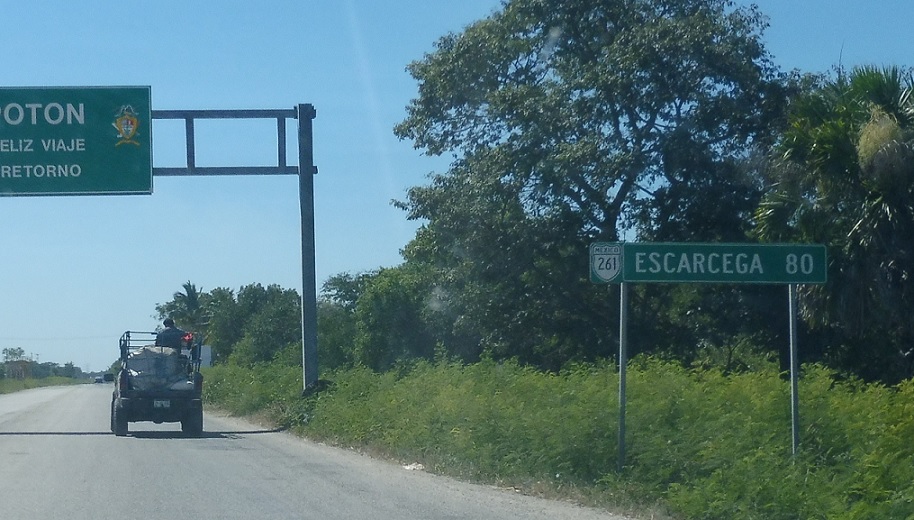
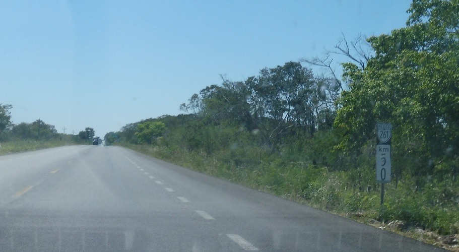
Mileage sign as we head out of Champoton.
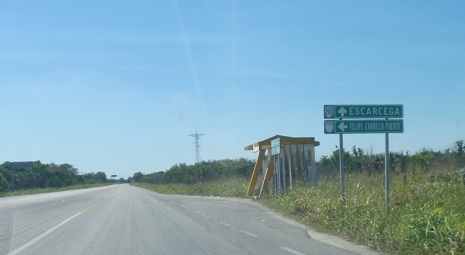
Location: MX 261 and Carr. Felipe Carrillo Puerto, Champoton
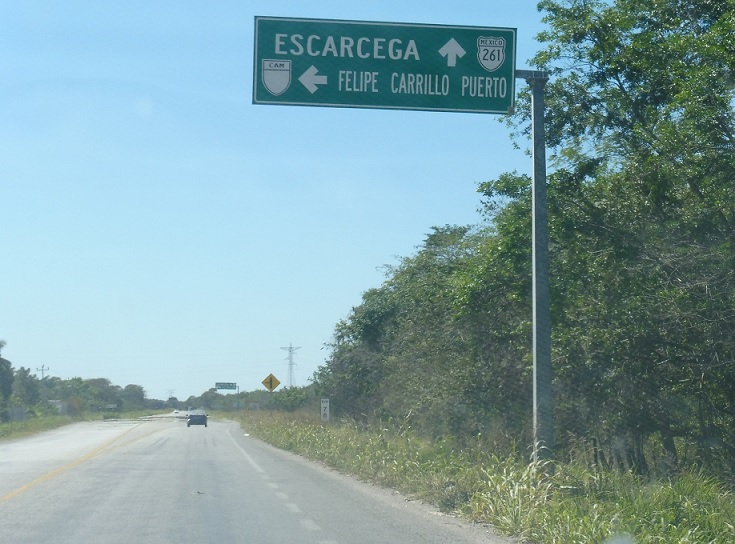
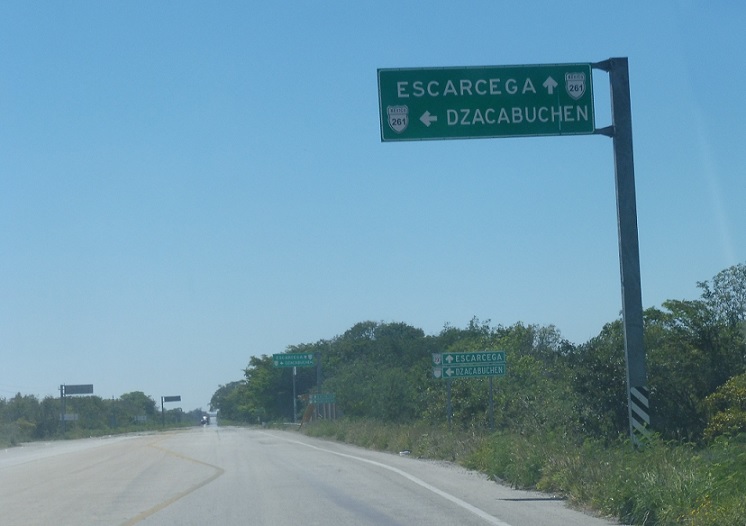
As we head out of Champoton city, we’ll approach an unnumbered state highway. Turn left to head to Felipe Carrillo Puerto.
Location: MX 261 and Carr. Felipe Carrillo Puerto, Champoton
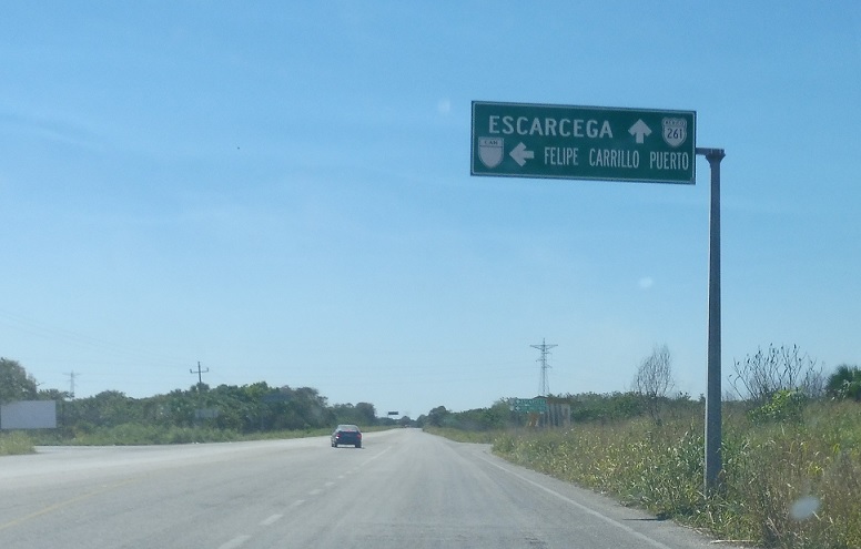
In case you missed the last sign.
Location: MX 261 and Carr. Felipe Carrillo Puerto, Champoton
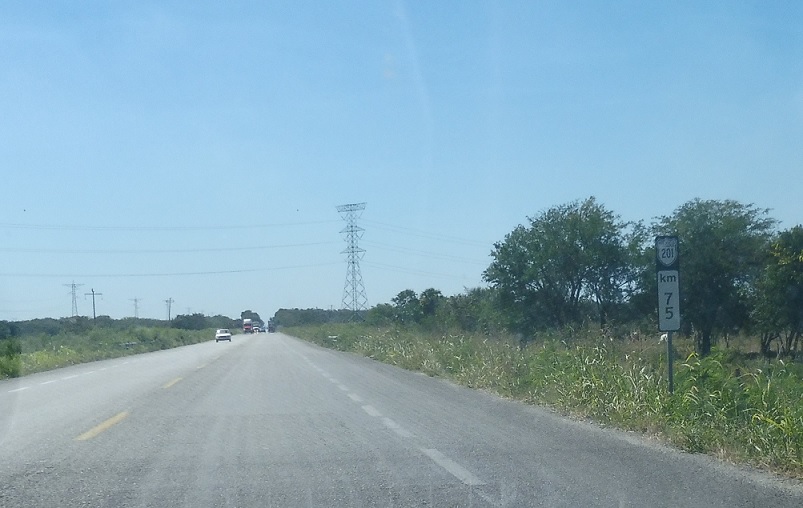
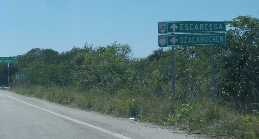
MX 261 is periodically erroneously signed as MX 201.
Location: MX 261 and Carr. Felipe Carrillo Puerto, Champoton
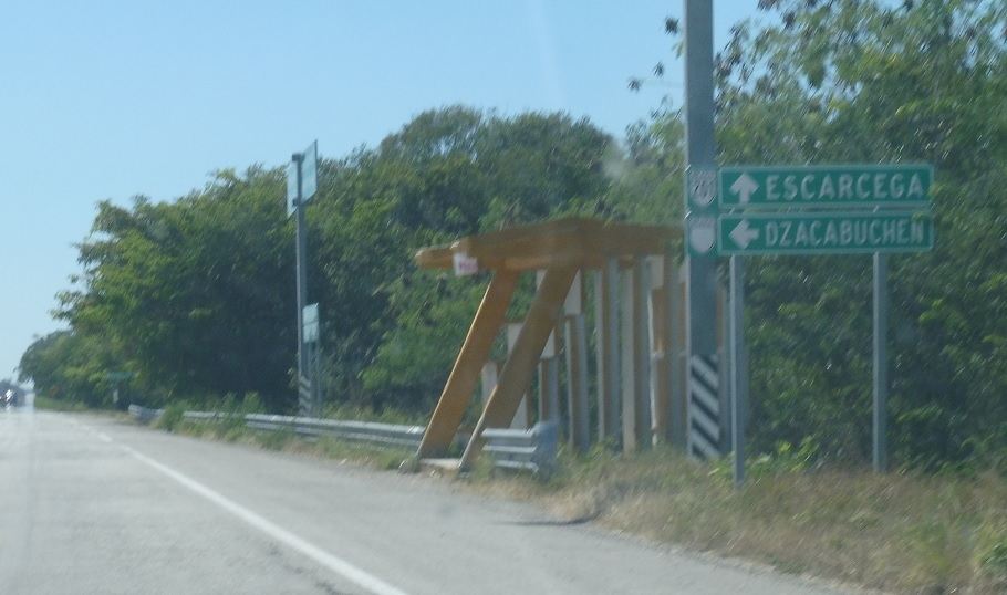
Erroneous reassurance shield after the Felipe Carrillo Puerto junction.
Location: MX 261 and Carr. Felipe Carrillo Puerto, Champoton
Reassurance shield 3 km later.
Location: MX 261 and Cll. V. Guerrero, Champoton
Reassurance shield 5 km later.

Location: MX 261 and Cll. V. Guerrero, Champoton
A kilometer later, we’ll enter the little community of Vicente Guerrero.
Location: MX 261 and Cll. Pixtun, Pixtun
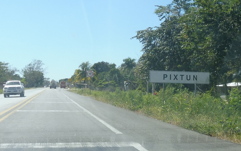
A few kilometers after that, we’ll enter the little town of Pixtun.
Location: MX 261 and Cll. Pixtun, Pixtun
Reassurance shield as we pass through Pixtun.
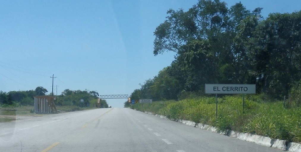
Location: MX 261 and Cll. M. Hidalgo y Costilla, El Cerrito
A few clicks later, we’ll enter El Cerrito.
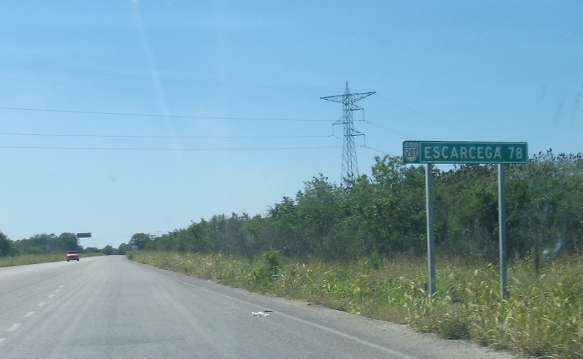
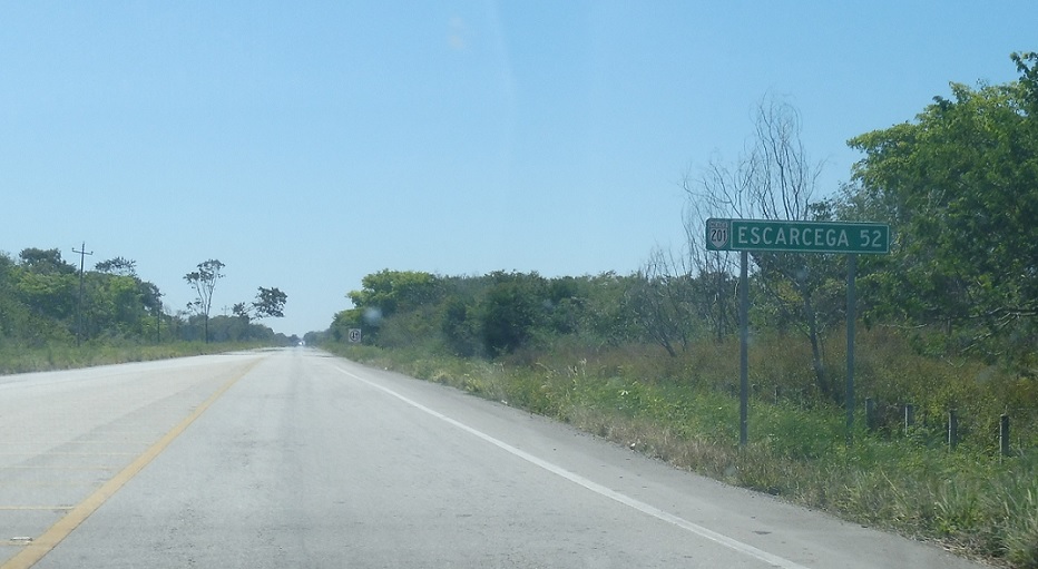
Location: MX 261 and Av. Garcia, Champoton
Mileage sign as we head out of Champoton.
Location: MX 261 and Carr. Agraria, Champoton
Just after that, we’ll approach another unnumbered state highway.
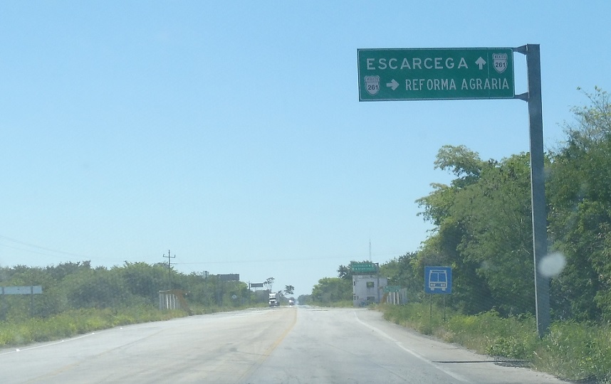
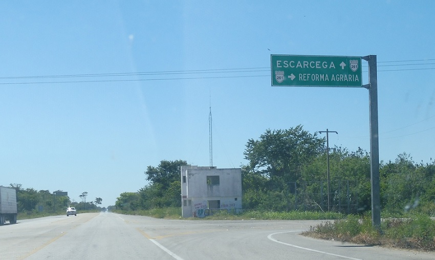
Location: MX 261 and Carr. Reforma Agraria, Champoton
Turn right for that highway, which heads to Reforma Agraria and on towards Chekubul.
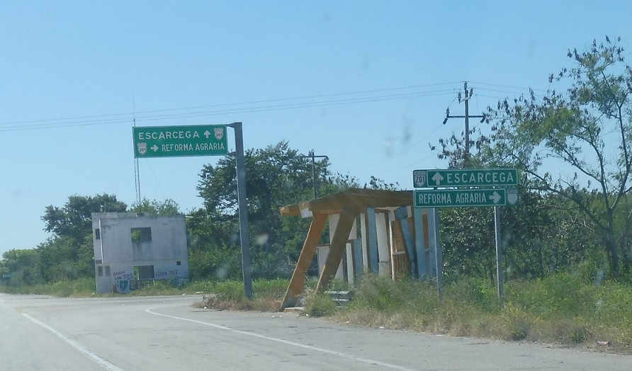
Location: MX 261 and Carr. Reforma Agraria, Champoton
Turn right.
Location: MX 261 and Carr. Reforma Agraria, Champoton
Erroneous reassurance shield after that junction.
Location: MX 261 and Carr. Dzacabuchen, Champoton
Reassurance shield before the turnoff to Dzacabuchen.
Location: MX 261 and Carr. Dzacabuchen, Champoton
Just after that, we’ll approach a spur to Dzacabuchen.
Location: MX 261 and Carr. Dzacabuchen, Champoton
The highway is a short unnumbered state (not federal) highway into town.
Location: MX 261 and Carr. Dzacabuchen, Champoton
Turn left for the spur.
Location: MX 261 and Carr. Dzacabuchen, Champoton
Reassurance shield after the junction.
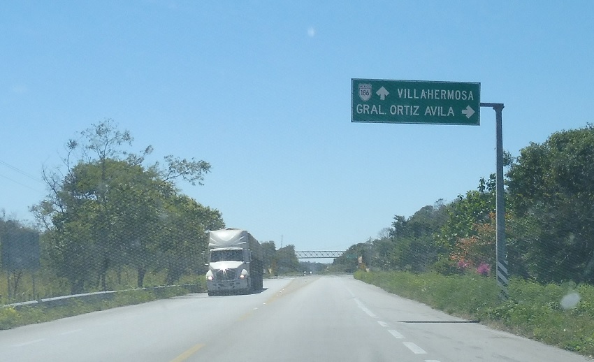
Location: MX 261 and Cll. Avila, General Ortiz Avila
A couple kilometers later, we’ll pass by General Ortiz Avila. Stay on 261 for MX 186 and Villahermosa. Turn right to head into town.
Location: MX 261 and Cll. Avila, General Ortiz Avila
Turn right to head into town.
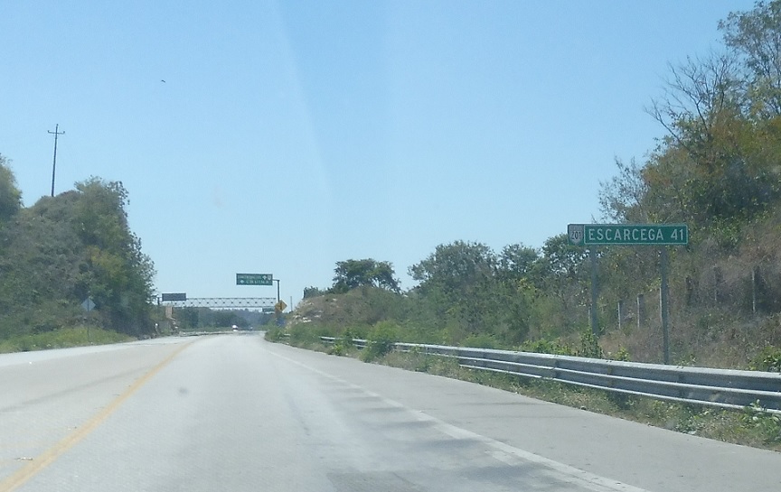
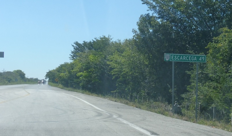
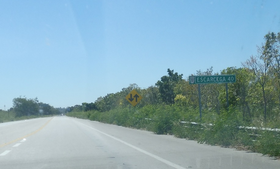
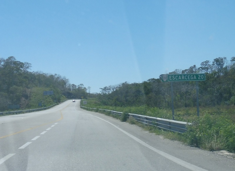
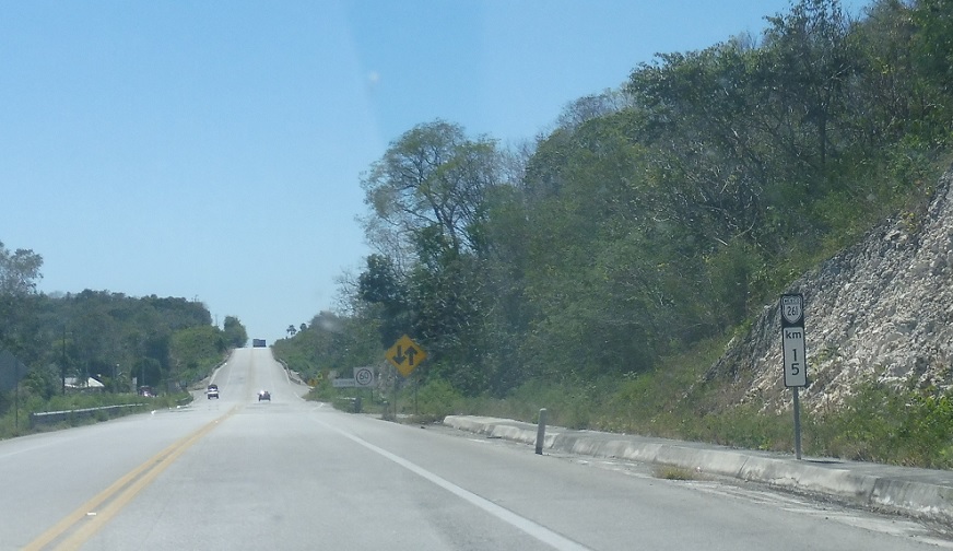
Location: MX 261 and Cll. Avila, General Ortiz Avila
41 km to Escarcega.
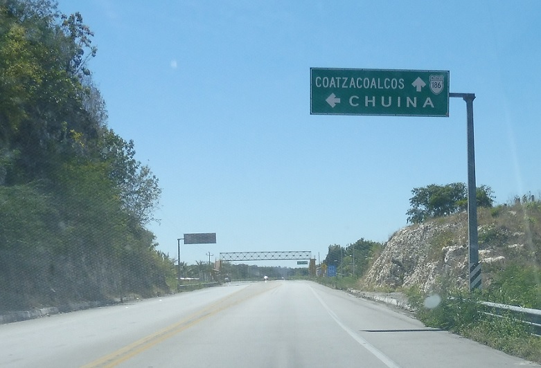
Location: MX 261 and Carr. Chuina, General Ortiz Avila
Just after that, we’ll approach a turnoff to the town of Chuina.
Location: MX 261 and Carr. Chuina, Chuina
Turn left for a state highway spur into downtown Chuina.
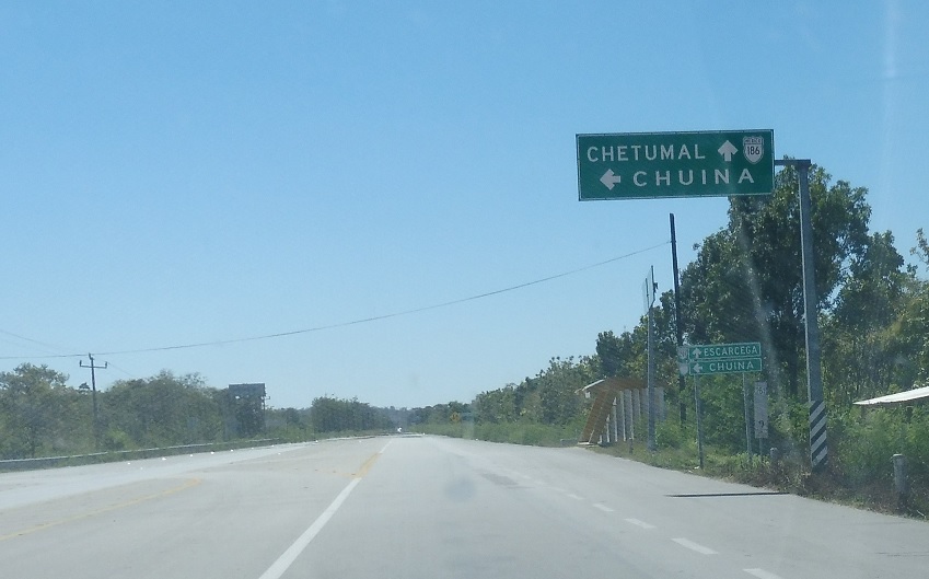
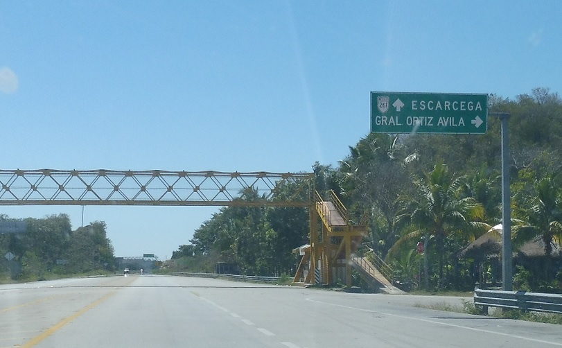
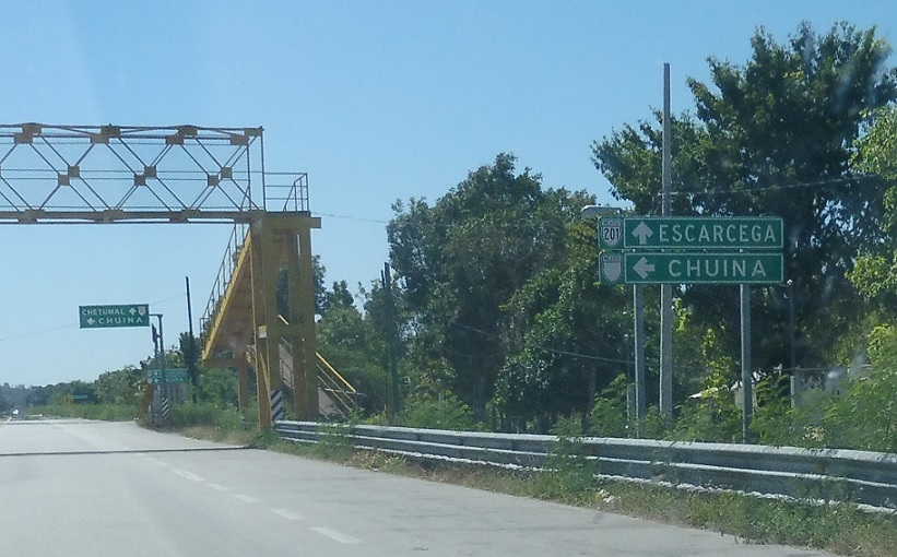
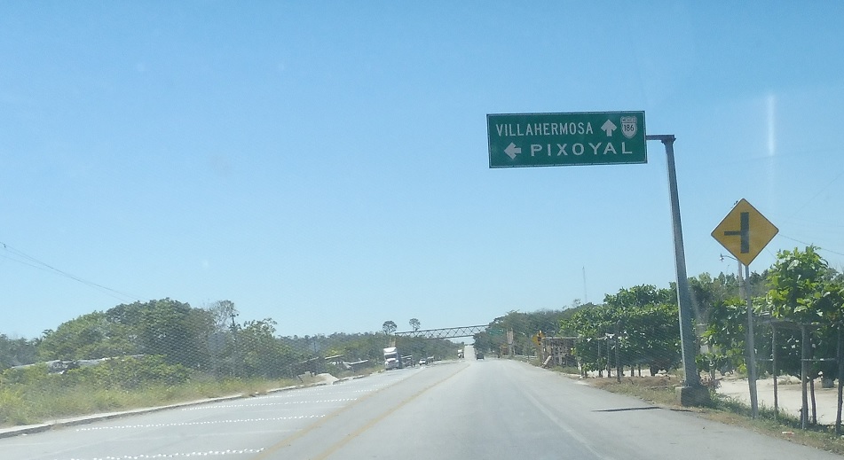
Location: MX 261 and Carr. Chuina, Chuina
Follow 261 to 186 and Chetumal.
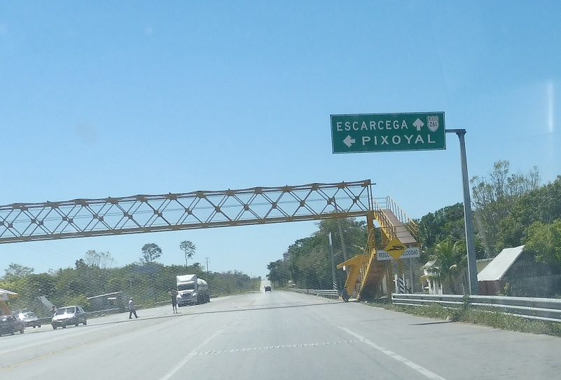
Location: MX 261 and Carr. Chuina, Chuina
Turn left to head into Chuina.
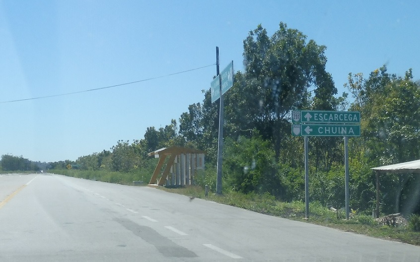
Location: MX 261 and Carr. Chuina, Champoton
Reassurance shield after the Chuina turnoff.
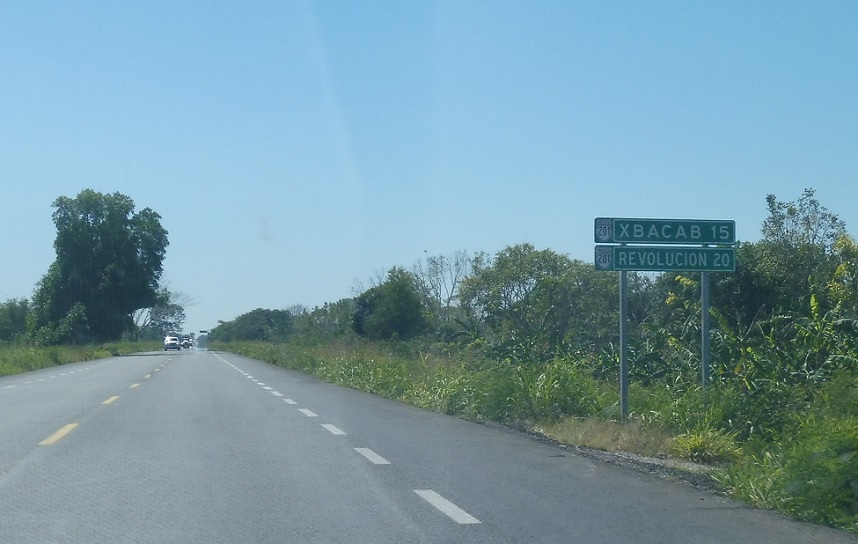
Location: MX 261 and Carr. Pixoyal, Xbacab
Shortly after that, we’ll enter Xbacab and approach another unnumbered state highway.
Location: MX 261 and Carr. Pixoyal, Xbacab
Stay straight for 261 south.
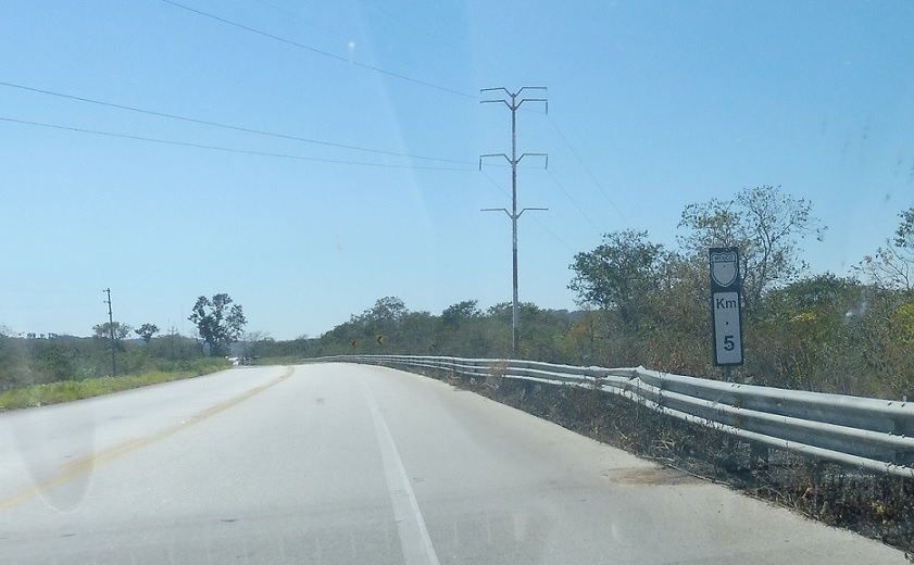
Location: MX 261 and Carr. Pixoyal, Champoton
I have no idea what this milepost indicates as we head out of Xbacab.

Location: MX 261 and Cll. Monte Bravo, Champoton
Reassurance shield a few clicks later.
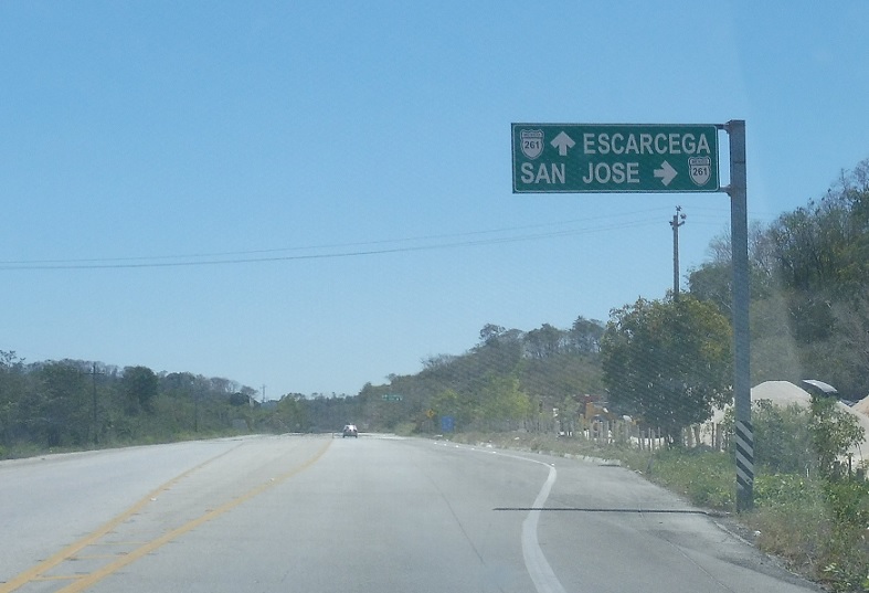
Location: MX 261 and Carr. San Jose, Escarcega
Shortly thereafter, we’ll approach another unnumbered state highway to San Jose.
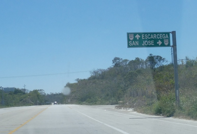
Location: MX 261 and Carr. San Jose, Escarcega
Turn right for that highway.
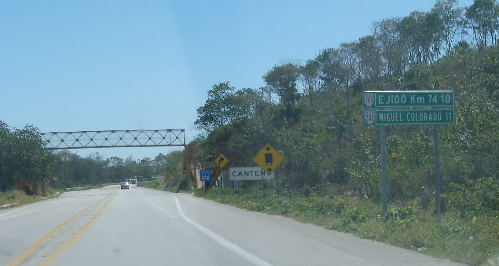
Location: MX 261 and Cll. Cantemo, Cantemo
Mileage sign after the San Jose turnoff for destinations along an unnumbered state highway.
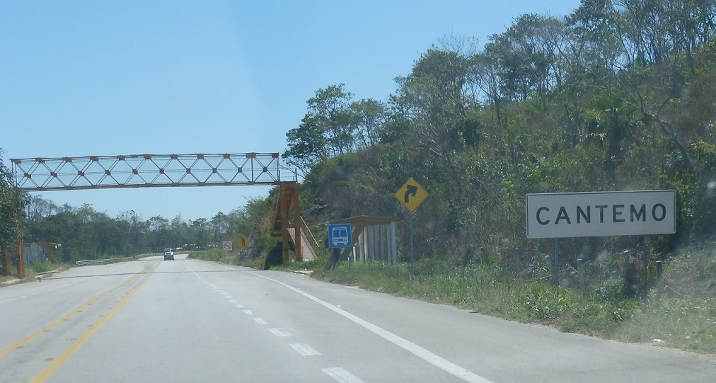
Location: MX 261 and Cll. Cantemo, Escarcega
Welcome to Cantemo!
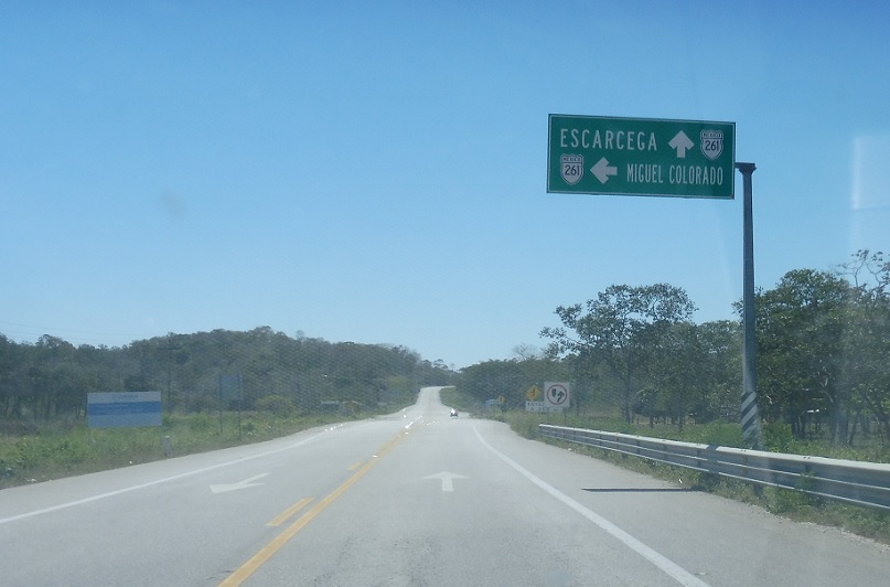
Location: MX 261 and Carr. Miguel Colorado, Escarcega
Turn left for an unnumbered state highway to Miguel Colorado.
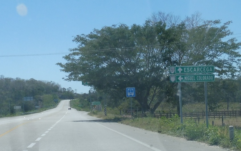
Location: MX 261 and Carr. Miguel Colorado, Escarcega
Turn left ahead.
Location: MX 261 and Carr. Miguel Colorado, Escarcega
This is a well signed junction.
Location: MX 261 and Carr. Miguel Colorado, Escarcega
Very well signed.
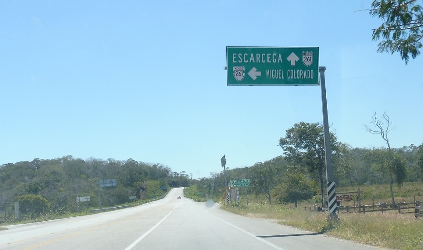
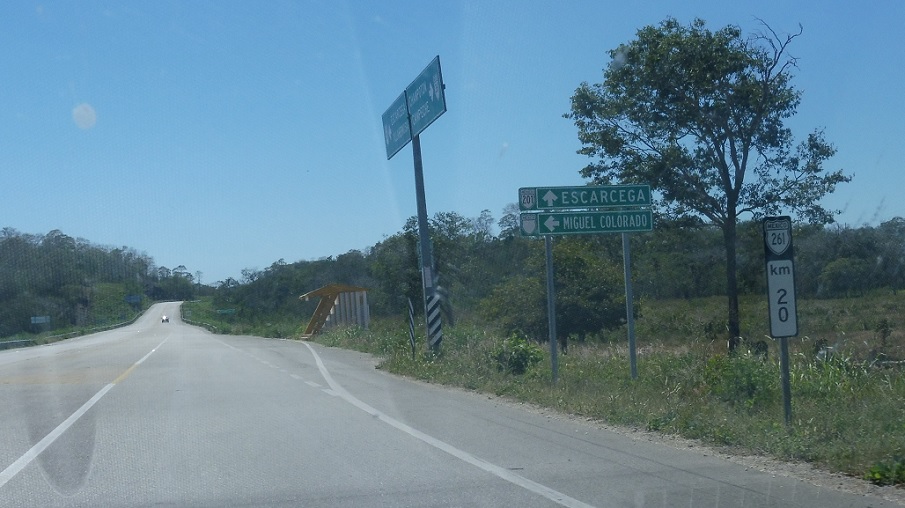
Location: MX 261 and Carr. Miguel Colorado, Escarcega
Reassurance shield after the turnoff.
Location: MX 261 and Cll. Carranza, Escarcega
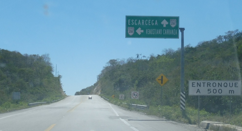
Turn left to head into Venustiano Carranza.
Location: MX 261 and Cll. Carranza, Escarcega
Venustiano Carranza is located just off the highway.
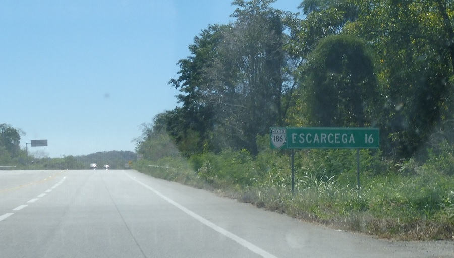
Location: MX 186 and Cll. Carranza, Escarcega
16 km to Escarcega and Mexico 186.
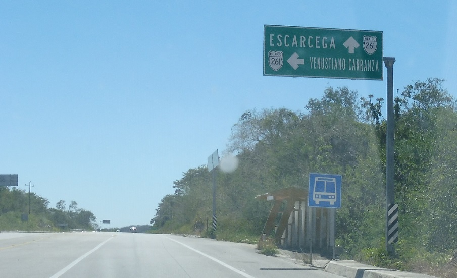
Location: MX 261 and Carr. Carranza, Escarcega
Reassurance shield a kilometer later.
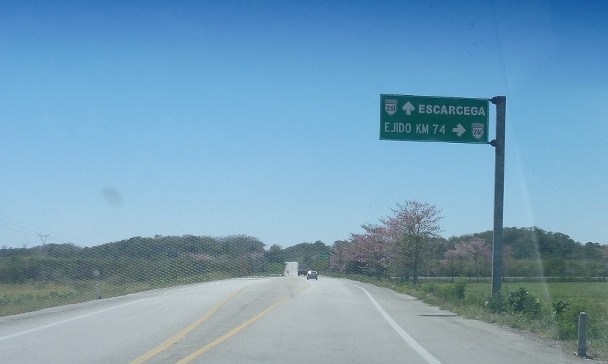
Location: MX 261 and Carr. Ejido km 74, Escarcega
A few kilometers later we’ll approach a state highway spur to Ejido km 74, which roughly translates into “74 kilometer community.”
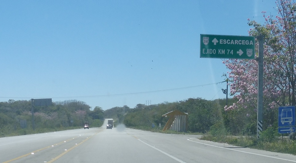
Location: MX 261 and Carr. Ejido km 74, Escarcega
Turn right to head into that community.
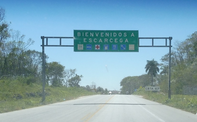
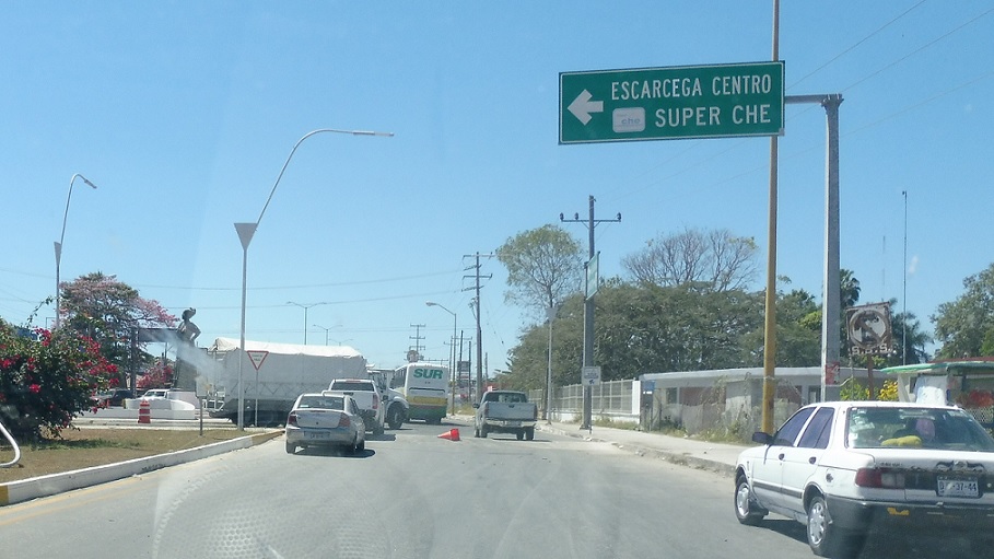
Location: MX 261 and Cll. 50, Escarcega
Shortly thereafter we’ll enter Escarcega!
Location: Av. Solidaridad and MX 186, Escarcega
As we enter town we’ll approach this roundabout and MX 186. Stay straight for 186 west to Villahermosa. Turn left for 186 east into downtown Escarcega towards Chetumal. MX 261 ends.
 W to MX-259, E to ROO State Line

