
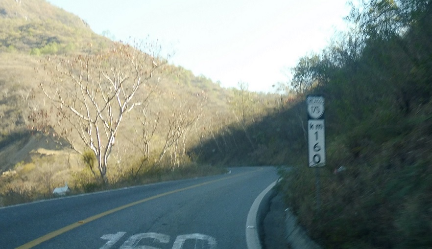
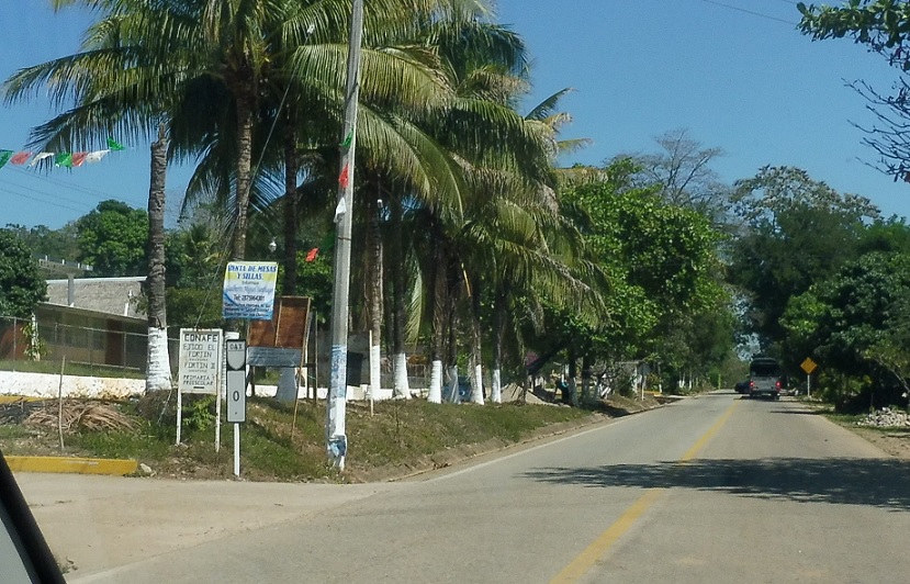
This is the first stretch of road I ever photographed in Mexico
Location: Carr. Ixtlan and Carr. Internacional, Santa Lucia del Camino
Stay straight after the MX-190 junction.
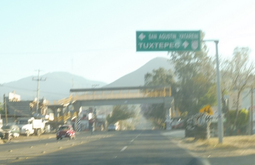
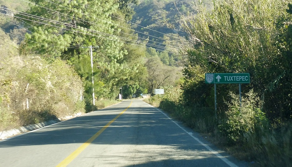
Location: Carr. Ixtapan and Call. Constitucion, San Agustin
Stay straight to follow 175 to Tuxtepec.

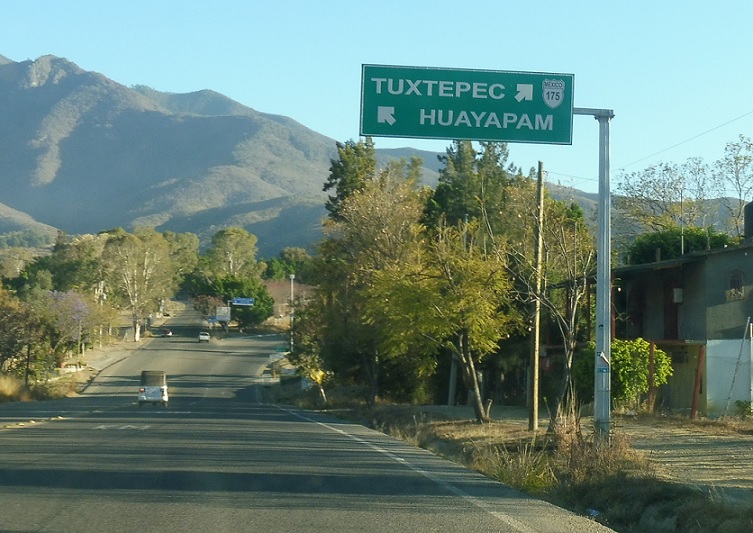
Location: Carr. Ixtapan and Cmn. al Tapaz, Tlalxitac de Cabrera
The 175 control city changes to Huayapam a few blocks later.
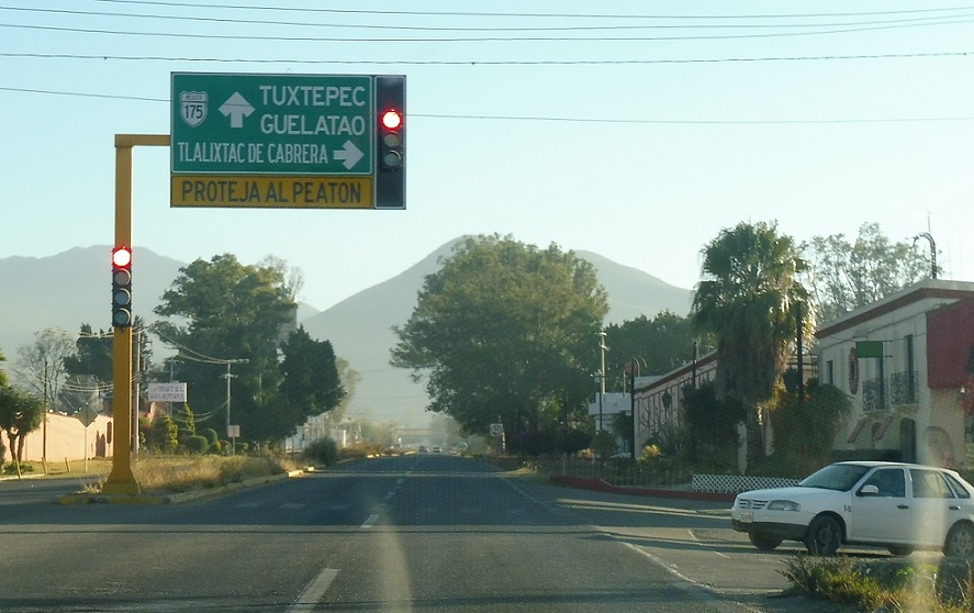
Location: Carr. Ixtapan and Cll. La Paz, Tlalixtac de Cabrera
Keep right for MX 175 as we head out of Oaxaca metro.
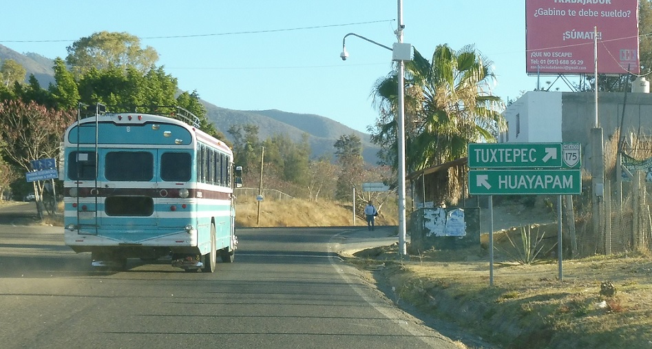
Location: Carr. Ixtpan and Cll. La Paz, Tlalixtac de Cabrera
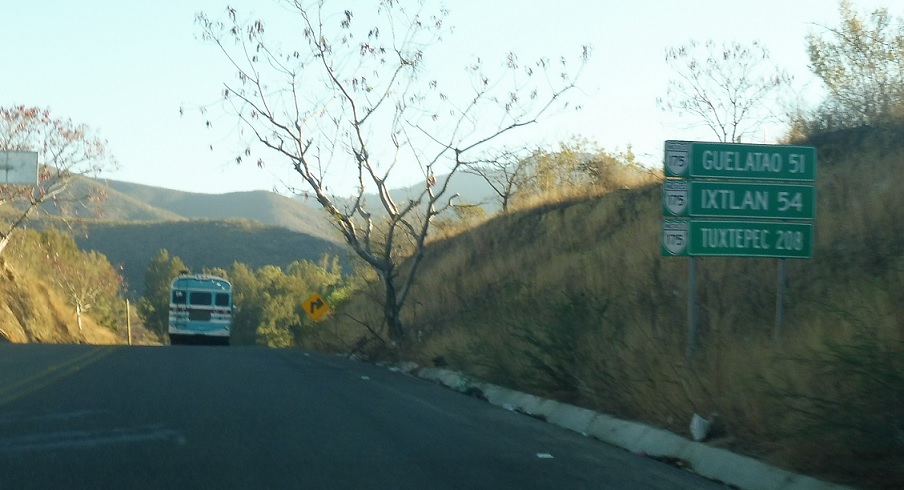
Getting passed by a bus – this was the first road I really drove in Mexico and I was still determining what the appropriate speed:speed limit ratio was (hint: drive much faster than the speed limit, despite what Mexico travel guides might say).
Location: MX 175 and Cll. La Paz, Tlalixtac de Cabrera
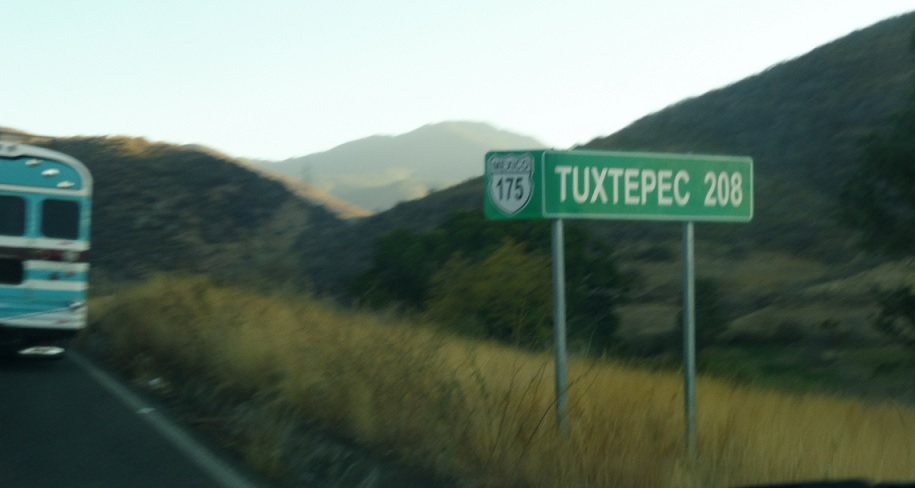
Mileage sign after the Huayapan turnoff.
Location: MX 175 and Cll. La Paz, Tlalixtac de Cabrera
In case you missed the last one.
Location: MX 175 and Turnoff, Tlalixtac de Cabrera
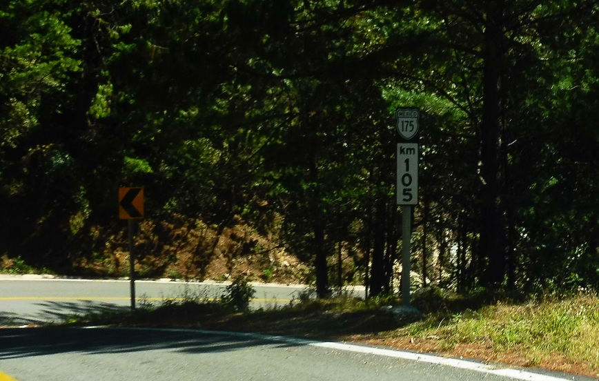
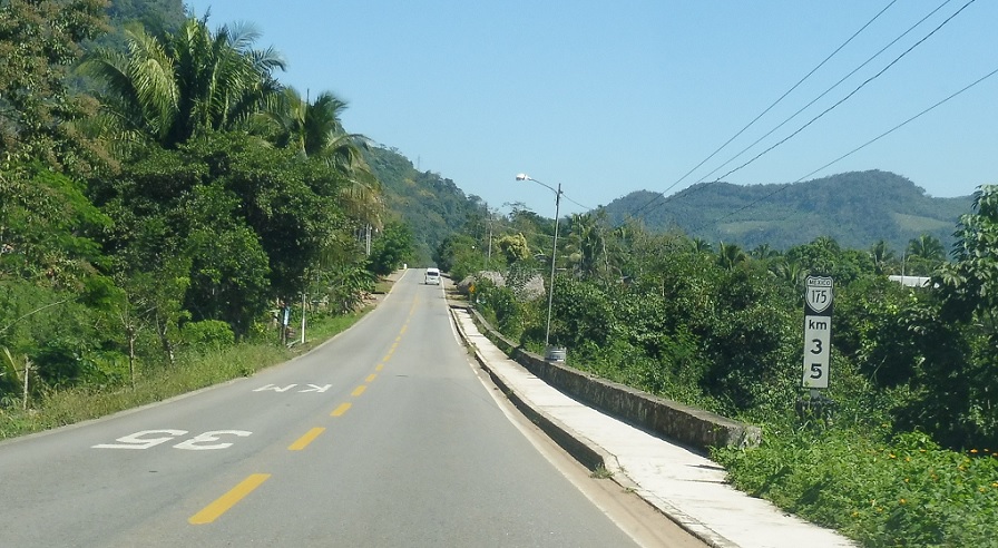
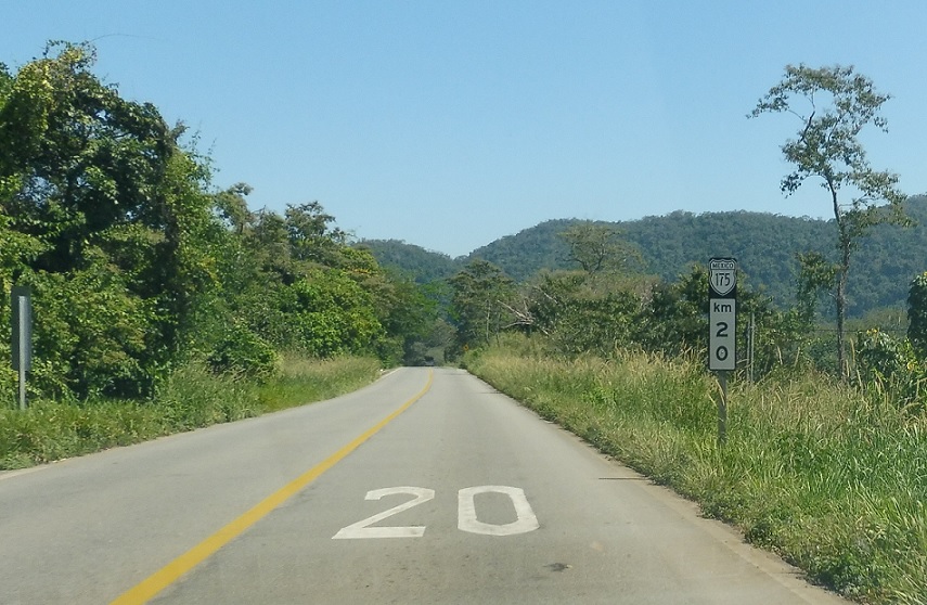
Mileage sign just a few kilometers later.
Location: MX 175 and Av. B. Juarez, Santa Catarina Ixtepeji
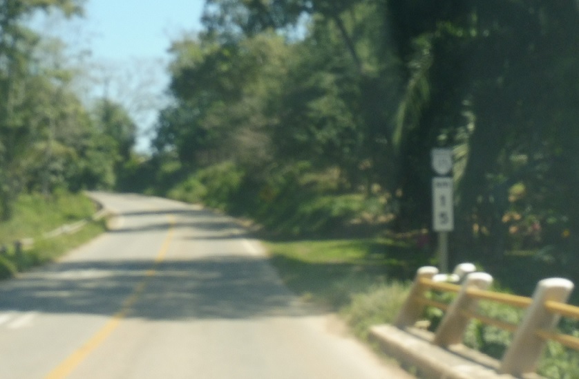
Mileage sign several kilometers later. MX 175 is a pretty twisty road through here.
Location: MX 175 and Av. Reforma, Gueletao de Juarez
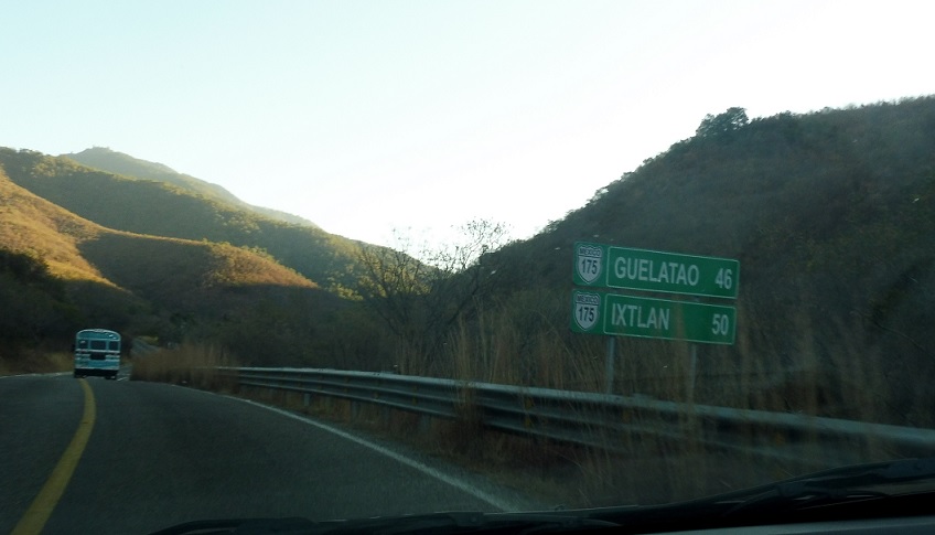
Reassurance shield as we pass by Gueletao.
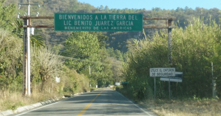
Location: MX 175 and Av. Reforma, Gueletao de Juarez
This is the area where Mexican Revolutionary Benito Juarez was born.
Location: MX 175 and Av. Reforma, Gueletao de Juarez
Stay on 175 for Tuxtepec.

Location: MX 175 and Av. Reforma, Gueletao de Juarez
Yes.
Location: MX 175 and Av. Reforma, Gueletao de Juarez
As we finally enter Gueletao, this building-mounted sign reminds us to keep left for 175. Turn right for an unnumbered state highway spur.
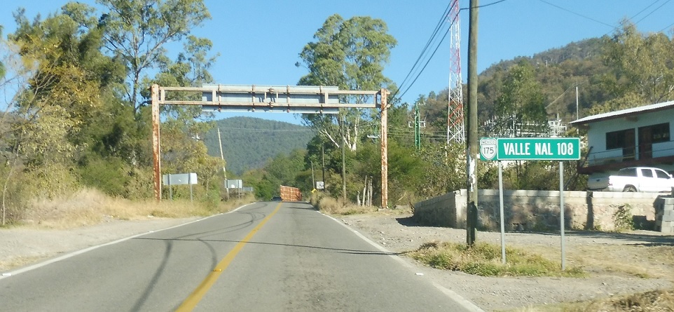
Location: MX 175 and Calz. de la Eternidad, Ixtlan de Juarez
As we head out of Gueletao and into Ixtlan we’re 108 km from Valle Nacional.
Location: MX 175 and Calz. de la Eternidad, Ixtlan
Turn right to follow another unnumbered state highway east all the way to Villa Alta.

Location: MX 175 and Calz. de la Eternidad, Ixtlan de Juarez
The road also heads into downtown Ixtlan.
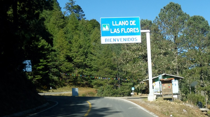
Location: MX 175 and Calz. de la Eternidad, Ixtlan de Juarez
As we head out of Ixtlan we’ll enter el Llano de las Flores – the Plain of the Flowers.
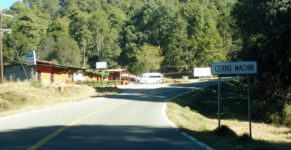
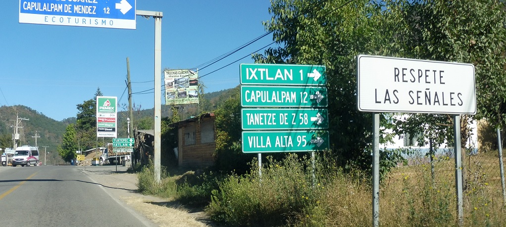
Location: MX 175 and Av. Oaxaca, Cerro Machin, Santa Maria Jaltianguis
Shortly after that we’ll enter the little community of Cerro Machin.
Location: MX 175 and Carr. San Pedro Yolox, Santiago Comaltepec
Reassurance shield several kilometers later.

Location: MX 175 and Carr. San Pedro Yolox, Santiago Comaltepec
Reassurance shield 5 km later.

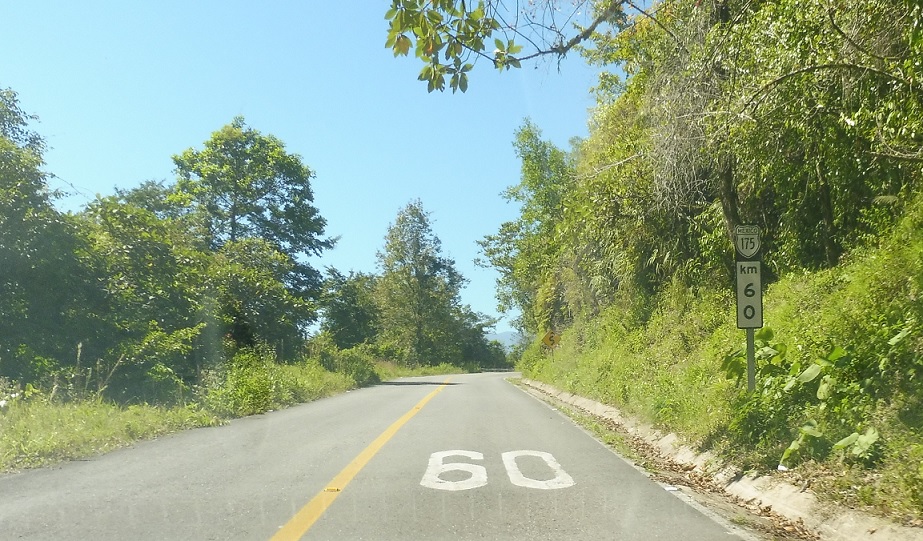
Location: MX 175 and Cll. La Esperanza, Santiago Comaltepec
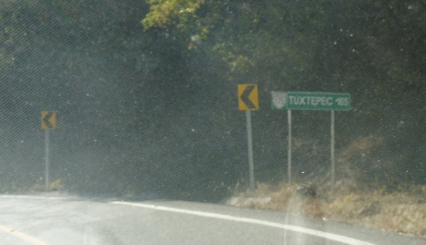
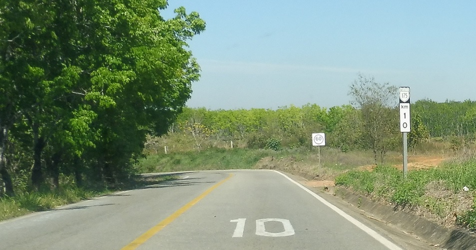
Reassurance shield another 20 km later.
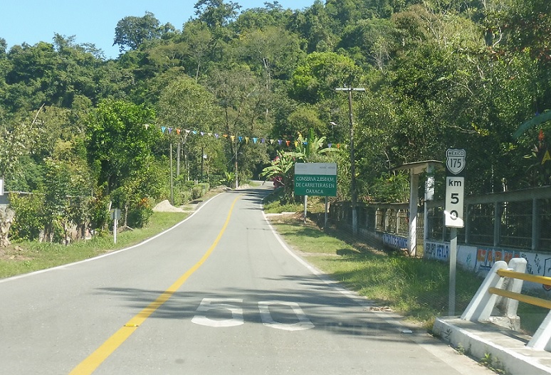
Location: MX 175 and Cll. La Nueva Esperanza, San Juan Bautista Valle Nacional
Another reassurance shield.
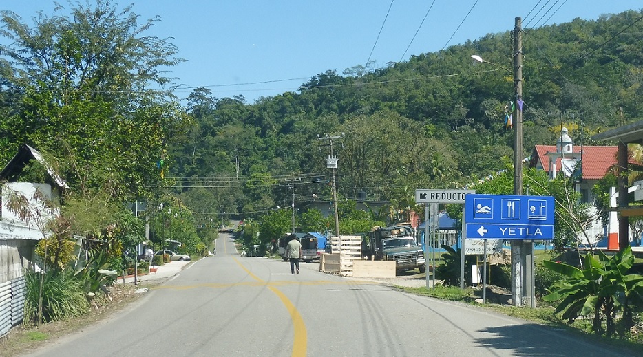
Location: MX 175 and Cll. Independencia, Yetla, San Juan Bautista Valle Nacional
Before we enter Valle Nacional we’ll pass through the little community of Yetla.
Location: MX 175 and Cll. Independencia, San Juan Bautista Valle Nacional
Reassurance shield as we head out of Yetla.
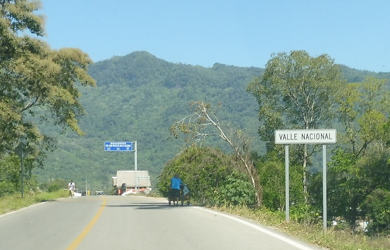
Location: MX 175 and Cll. 5 de Mayo, Valle Nacional
Welcome to Valle Nacional!
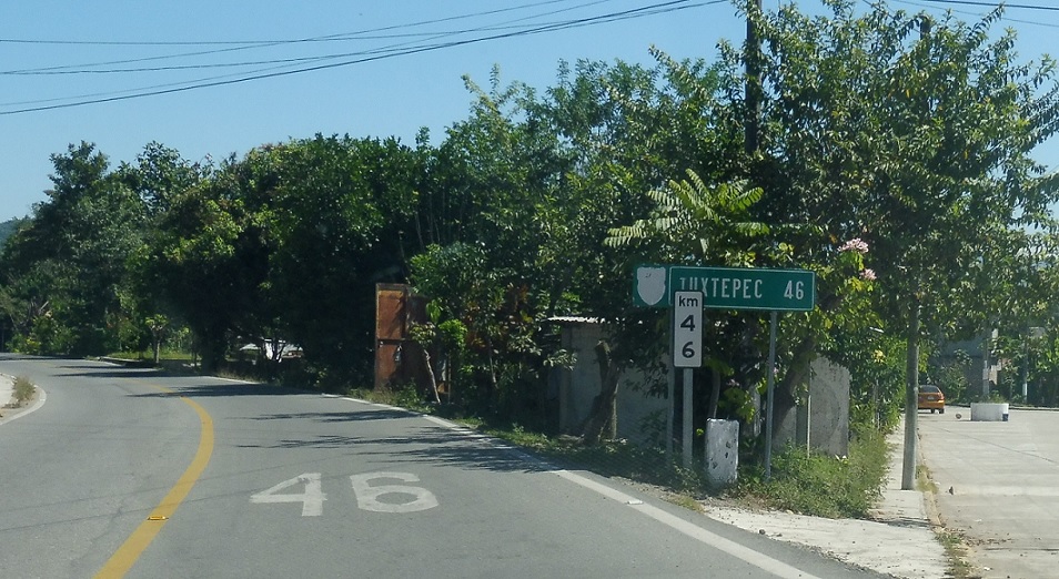
Location: MX 175 and Av. Benito Juarez, Valle Nacional
46 km to Tuxtepec as we head out of Valle Nacional.
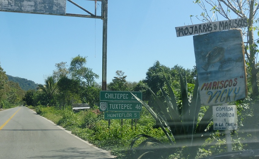
Location: MX 175 and Cll. Benito Juarez, Valle Nacional
Another mileage sign.
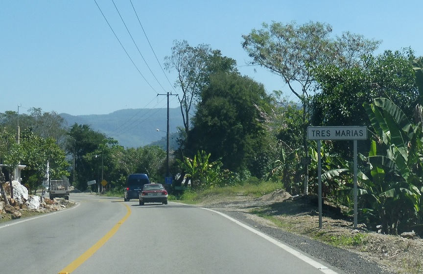
Location: MX 175 and Cll. Tres Marias, Tres Marias
A few km later, we’ll pass through Tres Marias.
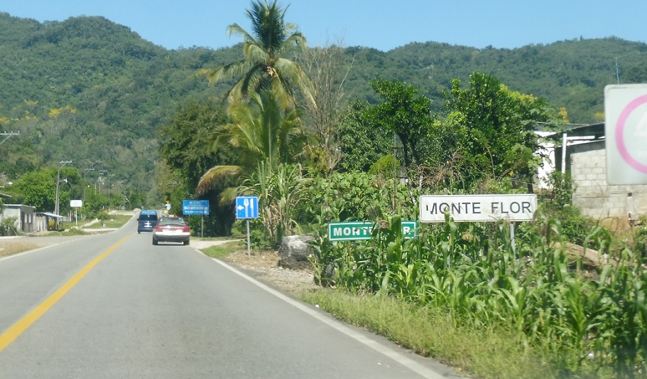
Location: MX 175 and Cll. 16 de Septiembre, Monte Flor
And then we’ll enter Monte Flor.
Location: MX 175 and Cll. Benito Juarez, San Juan Bautista Valle Nacional
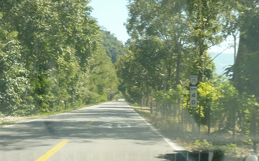
Reassurance shield as we head out of Monte Flor.
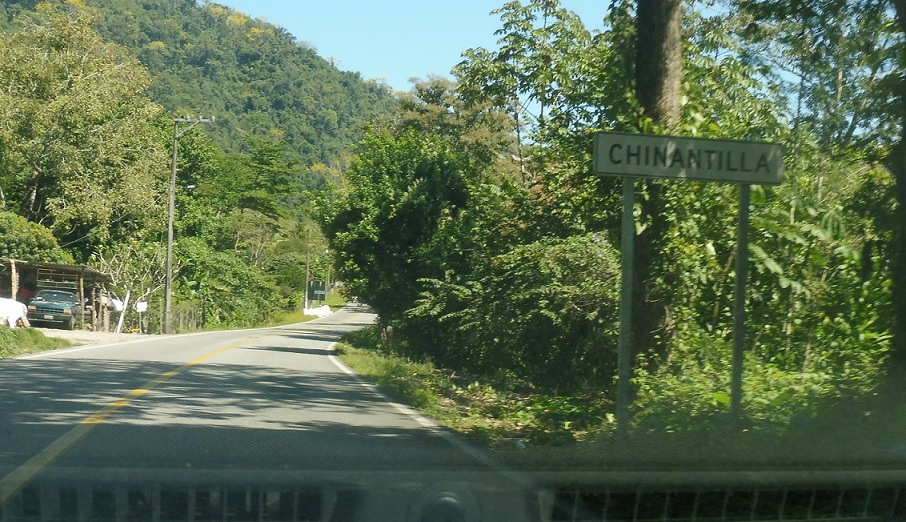
Location: MX 175 and Cll. Emiliano Zapata, Chinantilla
Just after that we’ll enter Chinantilla.
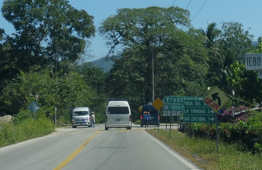
Location: MX 175 and Carr. Vega del Sol, San Juan Bautista Valle Nacional
Just after that, turn right ahead for an unnumbered state highway spur to Vega del Sol.
Location: MX 175 and Carr. Vega del Sol, Santa Maria Jacatepec
Reassurance shield shortly after the turn.
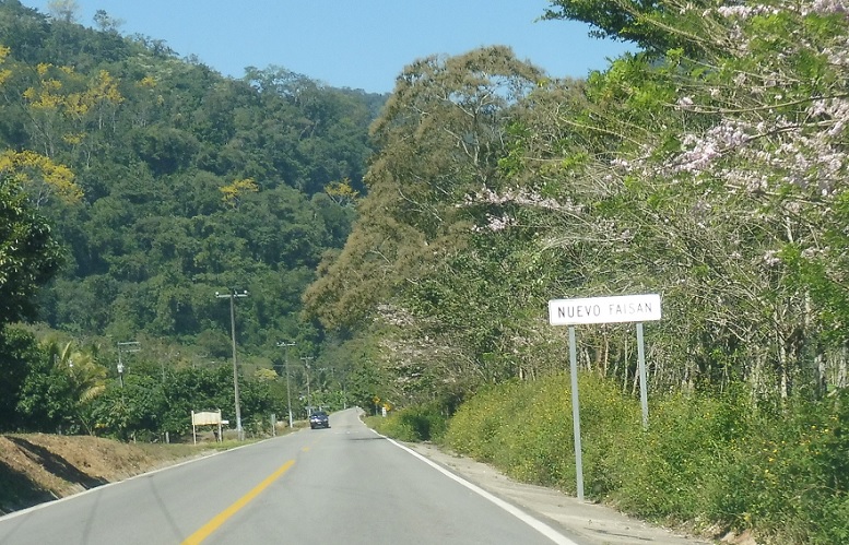
Location: MX 175 and Cll. Nuevo Faisan, Nuevo Faisan
A couple clicks later, we’ll enter Nuevo Faisan.
Location: MX 175 and Cll. Independencia, Santa Maria Jacatepec
Reassurance shield after the turnoff into Santa Maria.
Location: MX 175 and Cll. Juan Santiago, Santa Maria Jacatepec
Reassurance shield a few km later.

Location: MX 175 and Cll. Juan Santiago, Arroyo Frijol
A few hundred meters later we’ll enter Bean Valley.
Location: MX 175 and Cll. Juan Santiago, Arroyo Frijol
Turn left here, maybe, for an unnumbered state highway.
Location: MX 175 and Cll. Morelos, San Jose Chiltepec
Reassurance shield a few km later.
Location: MX 175 and Cll. Magon, Arroyo Choapam
Reassurance shield another 5 km later as we pass through Arroyo Choapam.
Location: MX 175 and Carr. Camelia Roja, San Juan Bautista Tuxtepec
10 km to Tuxtepec.
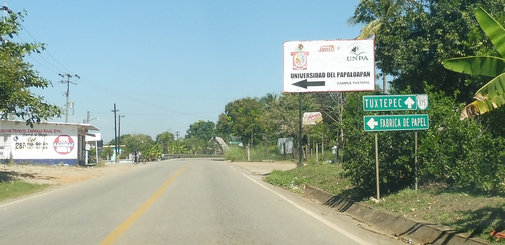
Location: MX 175 and Cll. Principal, San Juan Bautista de Tuxtepec
Turn left for a paper factory. Stay straight to head into Tuxtepec.
Location: MX 175 and Cll. Principal, San Juan Bautista de Tuxtepec
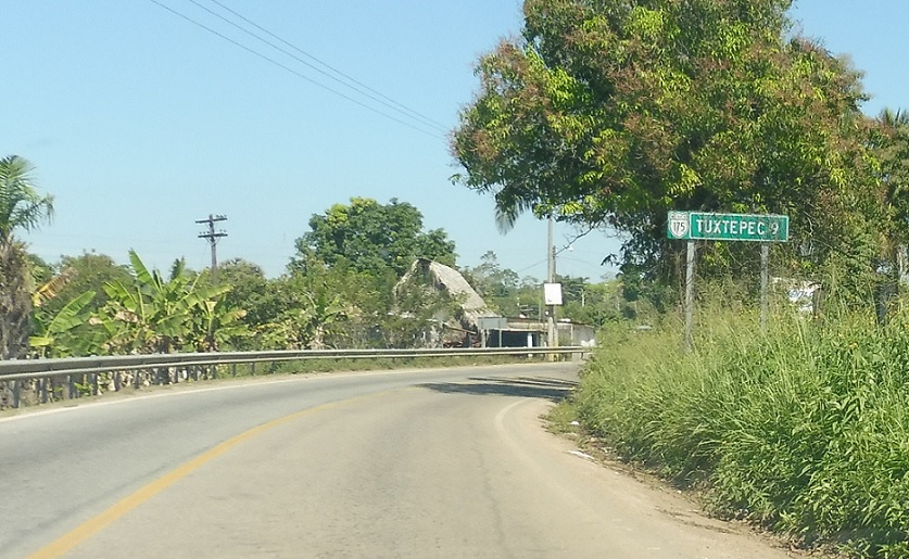
9 km to Tuxtepec.
Location: MX 175 and Cll. Independencia, San Juan Bautista de Tuxtepec
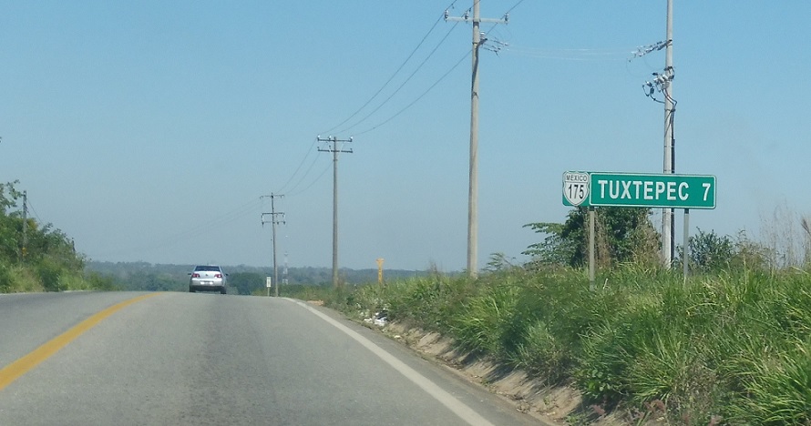
7 km to Tuxtepec.
Location: MX 175 and MX 147, San Juan Bautista de Tuxtepec
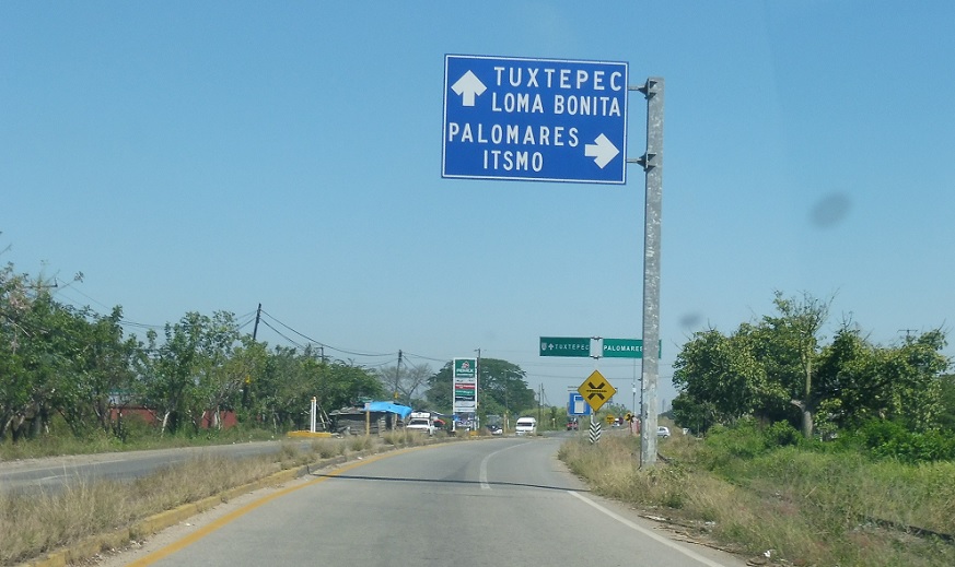
Before we enter Tuxtepec we’ll approach Mexico 147. Follow 147 to Palomares.
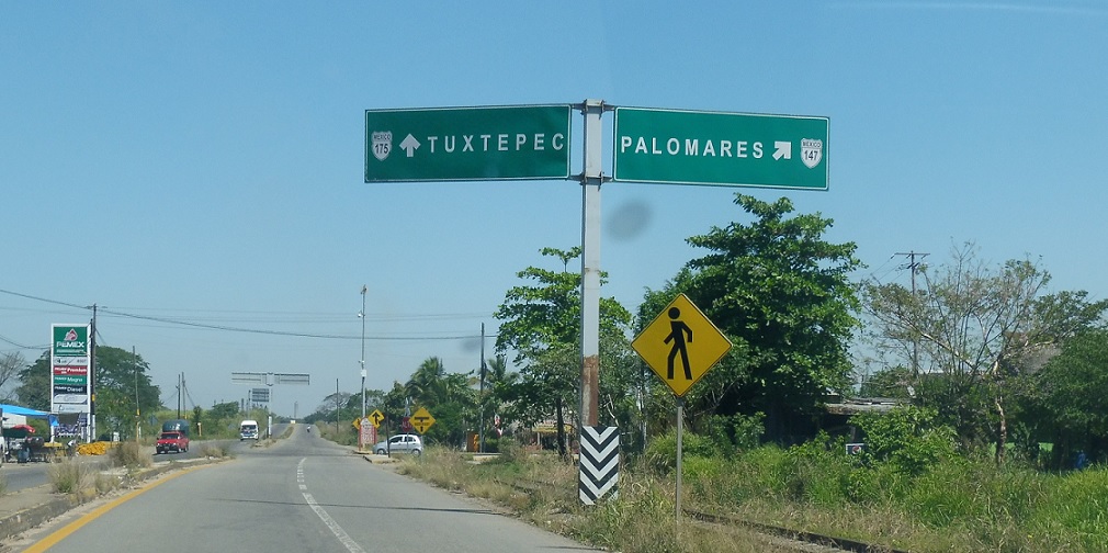
Location: MX-175 and MX-147, San Juan Bautista de Tuxtepec
Turn right for 147 east.
 N to MX-182, S to MX-131
 E to VER State Line
 W to MX-135D, E to MX-179
