
Last Driven May 2018
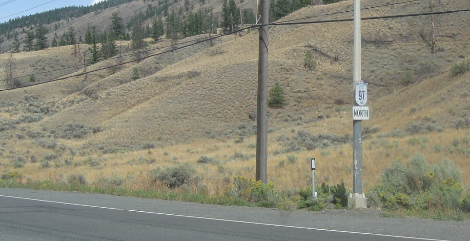
Location: BC 97 and BC 99, Thompson-Nicola RD
Reassurance shield after the BC 99 junction.
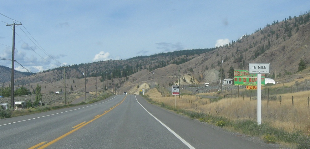
Location: BC 97 and Hills Rd, 16 Mile, Thompson-Nicola RD
A couple kilometers later we’ll enter unincorporated 16 Mile, which follows a different numbering scheme than the X Mile House communities.
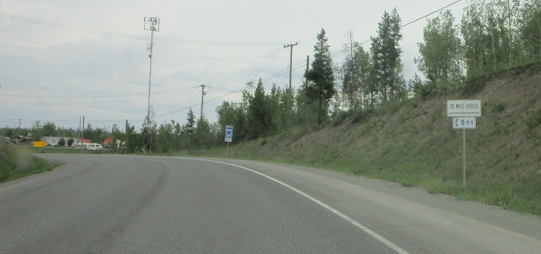
Location: BC 97 and Bonaparte Rd, 70 Mile House, Thompson-Nicola RD
A few kilometers later we’ll enter 70 Mile House, located 70 miles from Lillooet.
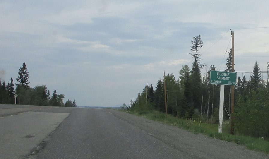
Location: BC 97 and Lookout Rd, Cariboo RD
A few kilometers later we’ll cross Begbie Summit and enter the Cariboo Regional District.
(Historic Photo: September 2015)
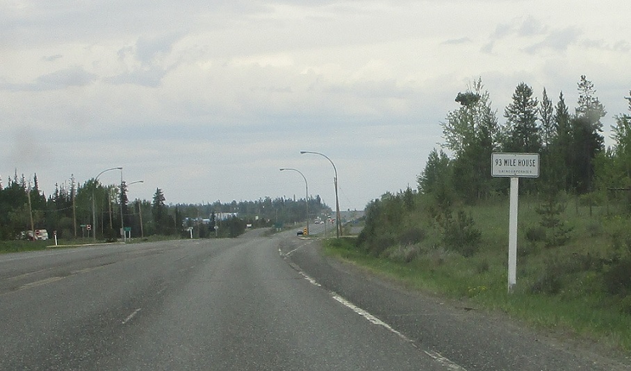
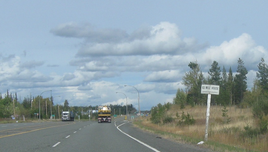
Location: BC 97 and Elefson Rd, 93 Mile House, Cariboo RD
20 miles later we’ll enter 93 Mile House.
(Historic Photo: September 2015)
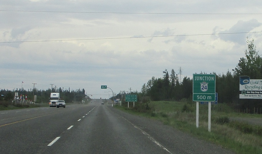
Location: BC 97 and Elefson Rd, 93 Mile House, Cariboo RD
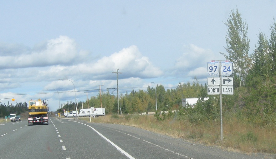
In 500 meters we’ll approach BC 24.
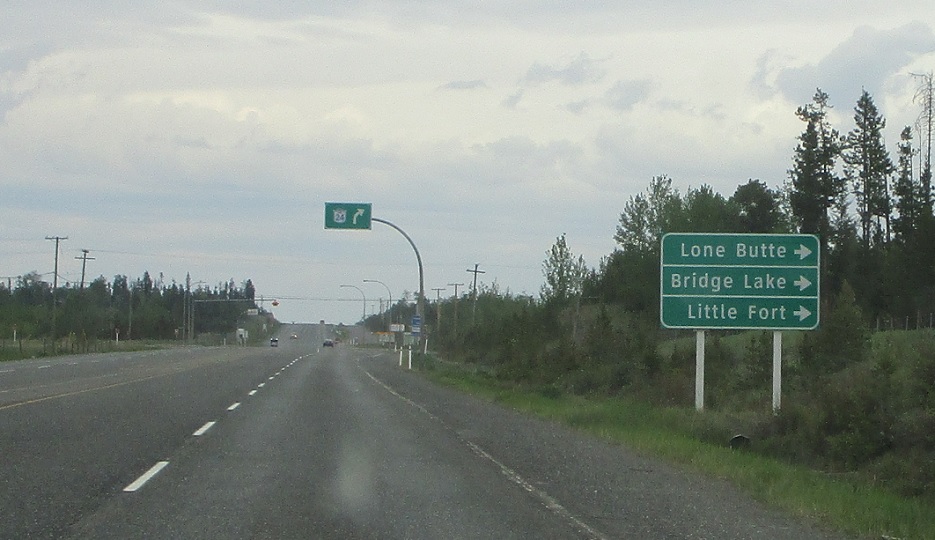
Location: BC 97 and BC 24, 93 Mile House, Cariboo RD
Follow 24 east to Lone Butte, Bridge Lake, and Little Fort.
(Historic Photo: September 2015)
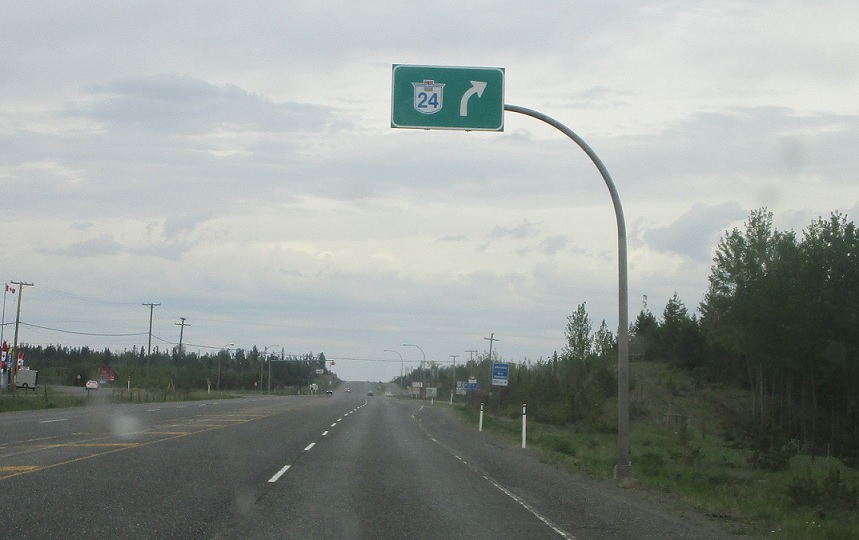
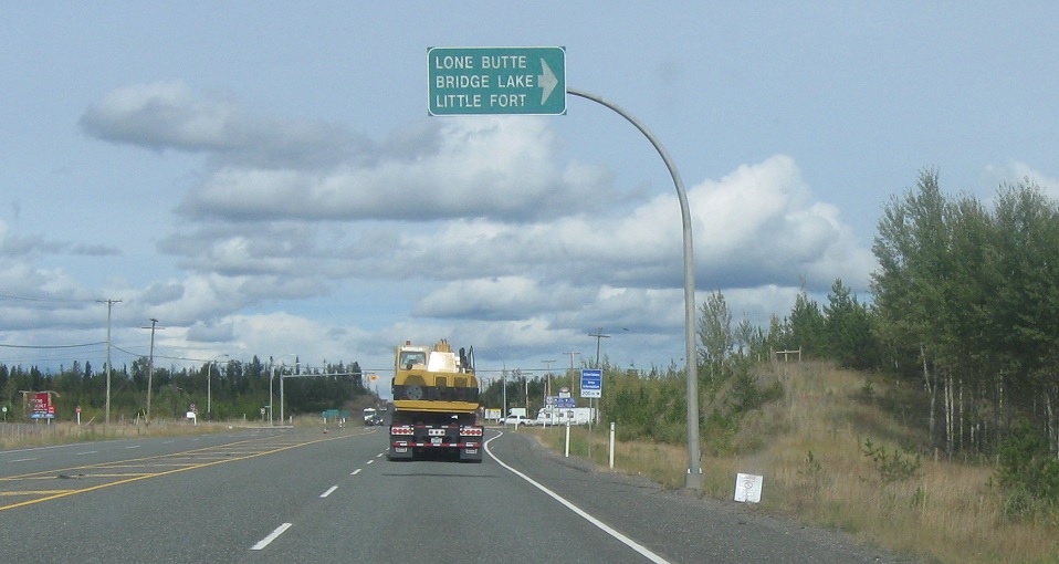
Location: BC 97 and BC 24, 93 Mile House, Cariboo RD
Turn right ahead for BC 24 east.
Location: BC 97 and BC 24, 93 Mile House, Cariboo RD
Turn right for BC 24 east.


