
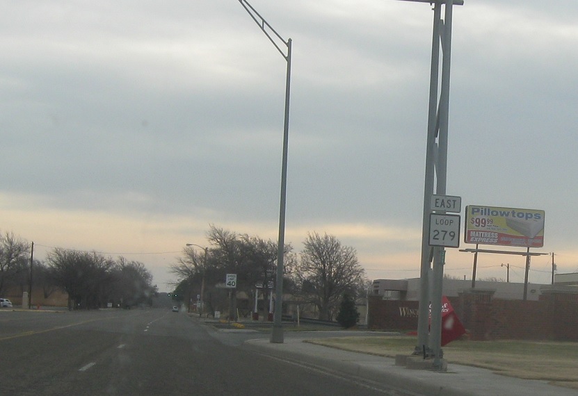
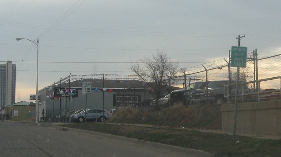
Location: 9th Ave and Amarillo Blvd, Amarillo
Reassurance shield as Loop 279 begins. Loop 279 largely follows the original Route 66 alignment into downtown.
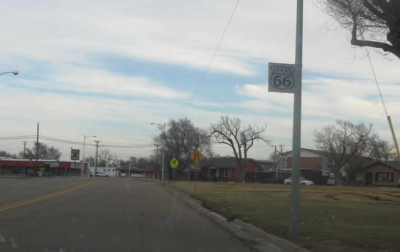
Location: Bushland Blvd and Western St, Amarillo
Local Route 66 shield as we merge onto the old routing.
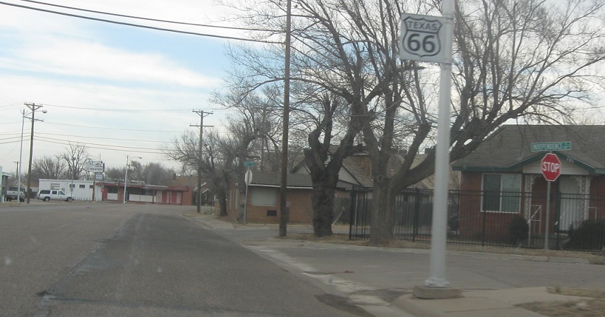
Location: Bushland Blvd and Independence St, Amarillo
Another one.
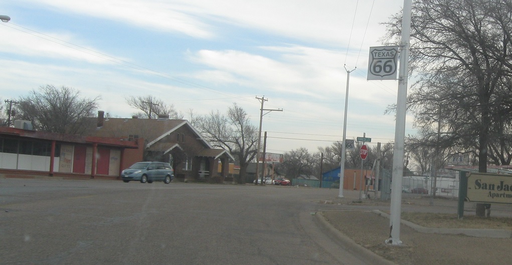
Location: Bushland Blvd and Forest St, Amarillo
Probably didn’t need to take pictures of all these, but whatever.

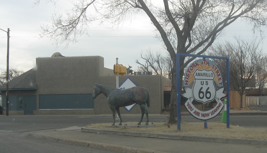
Location: 6th Ave and Fairmont St, Amarillo
Another one a couple blocks later.
Location: 6th Ave and Kentucky St, Amarillo
Ground mounted Route 66 shield.
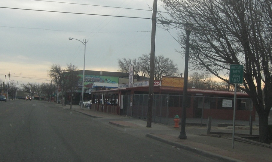
Location: 6th Ave and McMaster St, Amarillo
A few blocks later, we’re reassured again as we pass out of the 6th Avenue district. We’re still on old 66 though.
Location: 6th Ave and Parker St, Amarillo
Reassurance shield for Route 66 a few blocks later.

Location: 6th Ave and Adams St, Amarillo
Reassurance shield as we enter downtown.
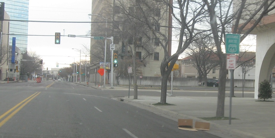 Location: 6th Ave and Tyler St, Amarillo
Another one a few blocks later. In a block, turn right for US-287 south. In two blocks, turn left for US-60 east/US-87 north.
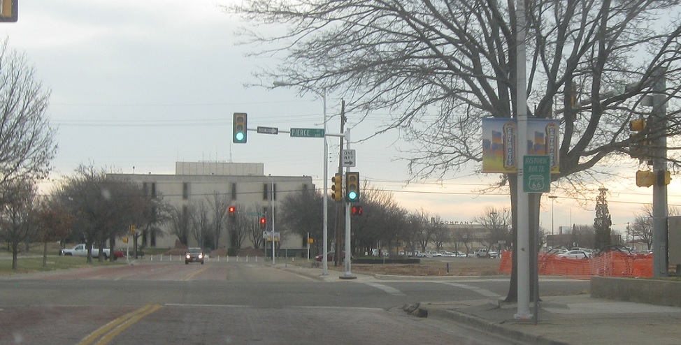
Location: 6th Ave and Pierce St, Amarillo
Turn right for 60 west/87 south.
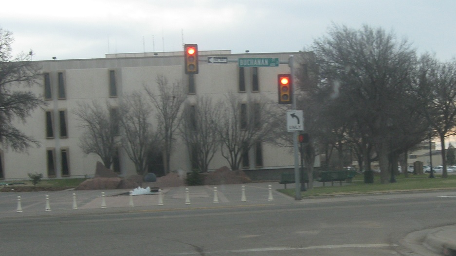
Location: 6th St and Buchanan St, Amarillo
And turn left for US 287 north. Loop 279 ends.
 W to TX-395 Loop, E to I-40 Bus/US-87/US-287
 S to TX-395 Loop, N to I-40 Bus/US-60
 S to TX-395 Loop, N to I-40 Bus/US-60
 W to TX-335 Loop, E to TX-FM1719
