
Last Driven March 2021
(Historic Photo: March 2014)
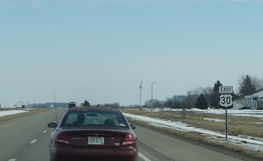
Location: US-30 and State Line Rd, Paulding Cty
Reassurance shield as we enter the Buckeye State.
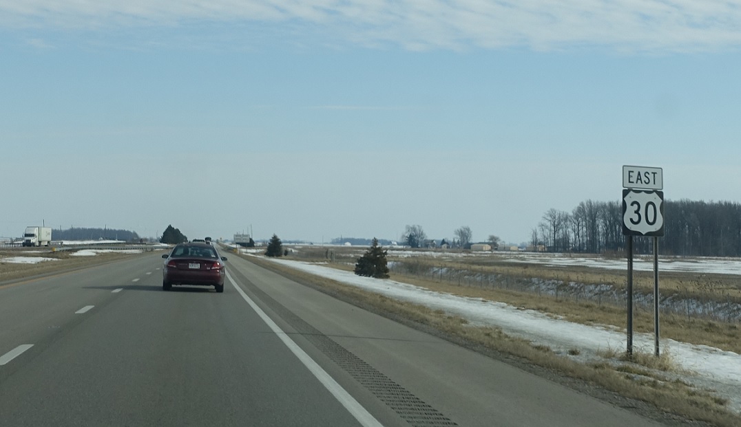
Location: US-30 and Klinger Rd, Van Wert Cty
Reassurance shield less than a mile later as we enter Van Wert County.
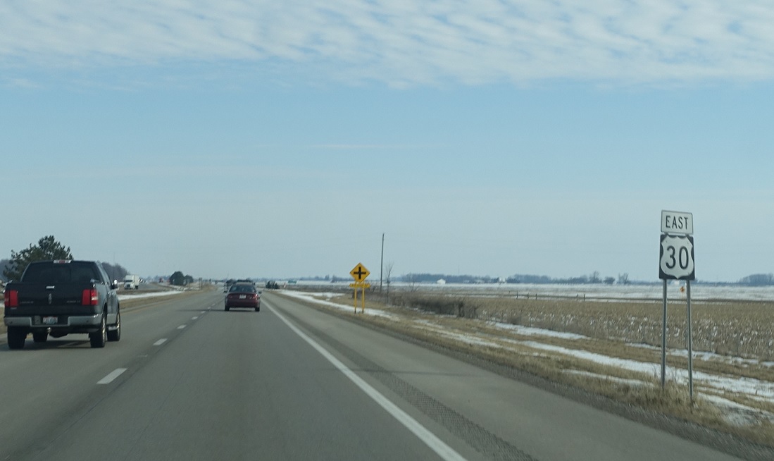
Location: US-30 and Krick Rd, Van Wert Cty
Reassurance shield after Krick Rd.

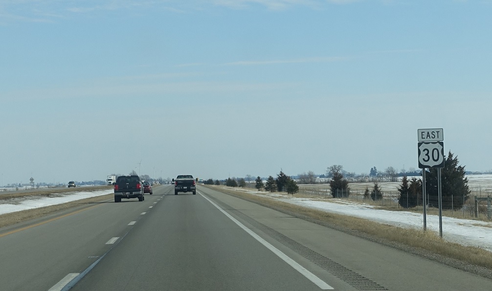
Location: US-30 and Mentzer Church Rd, Van Wert Cty
There is a reassurance shield after every intersection on this stretch of 30.
Location: US-30 and Elm Sugar Rd, Van Wert Cty
Reassurance shield after Elm Sugar Rd.

Location: US-30 and Lare Rd, Van Wert Cty
Reassurance shield after Lare Rd.
(Historic Photo: March 2014)
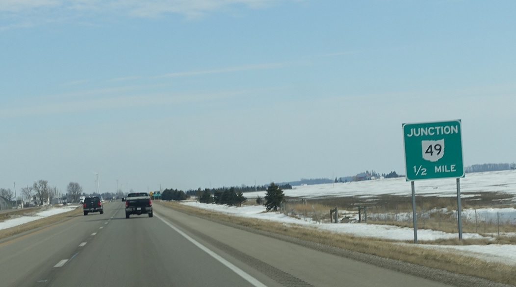
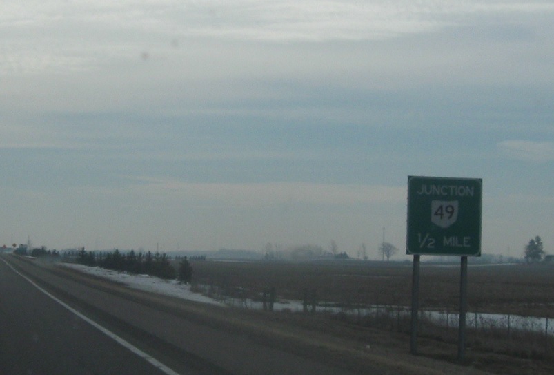
Location: US-30 and Lare Rd, Van Wert Cty
In a half mile, we’ll approach SR 49.
(Historic Photo: March 2014)
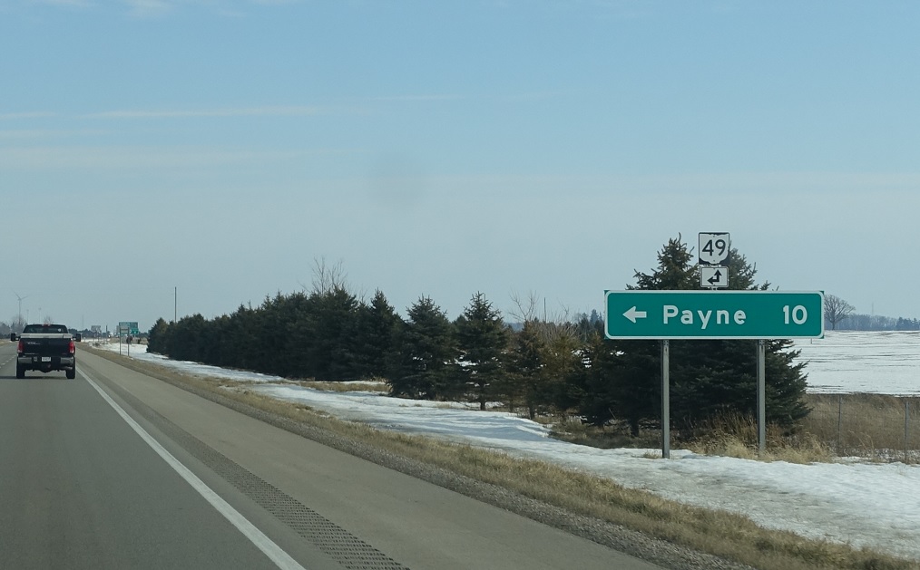
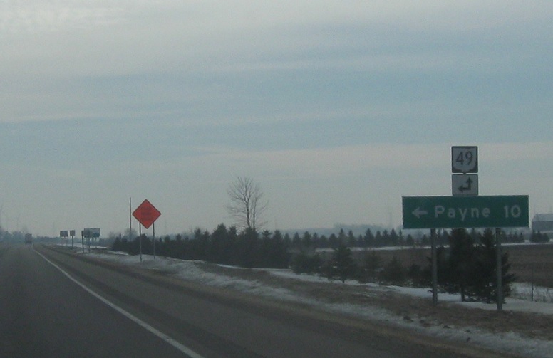
Location: US-30 and SR 49, Van Wert Cty
Follow SR 49 north to Payne. 49 south will join US-30 for a couple miles.
(Historic Photo: March 2014)
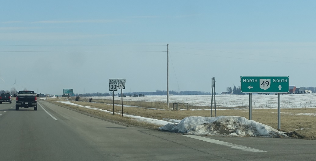
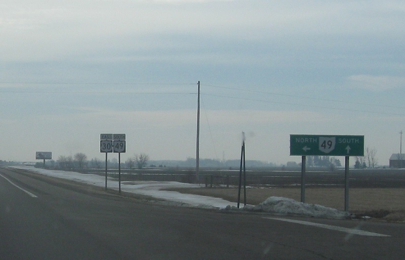
Location: US-30 and SR 49, Van Wert Cty
Turn left for 49 north. Stay straight for 30 east/49 south.


