
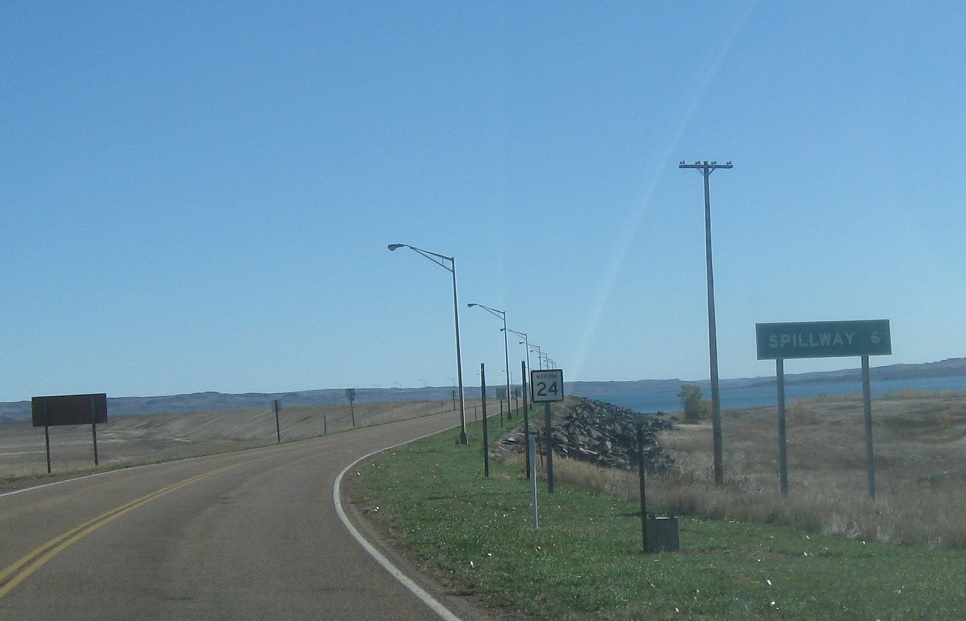
AMP: 58
Location: MT-24 and MT-117, Valley Cty
After MT-117, we’re six miles from the Fort Peck Dam spillway. The speed limit drops to 55 between here and there.
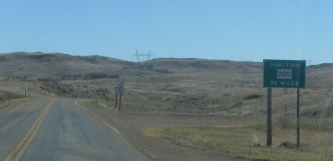
AMP: 52
Location: MT-24 and Tower Hill Rd, McCone Cty
As we cross the spillway, we’re told we’re 52 miles from Montana 200.
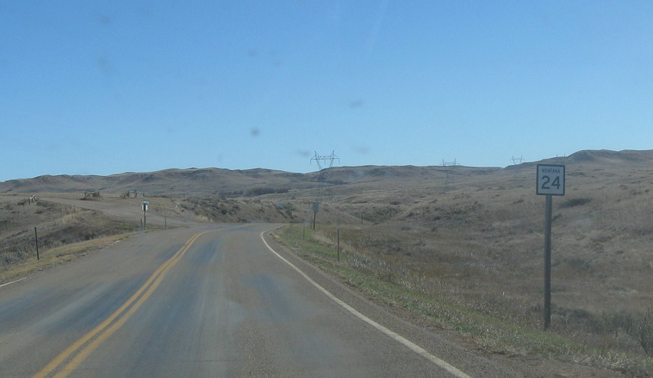
AMP: 52
Location: MT-24 and Tower Hill Rd, McCone Cty
Reassurance shield after driving over the spillway.
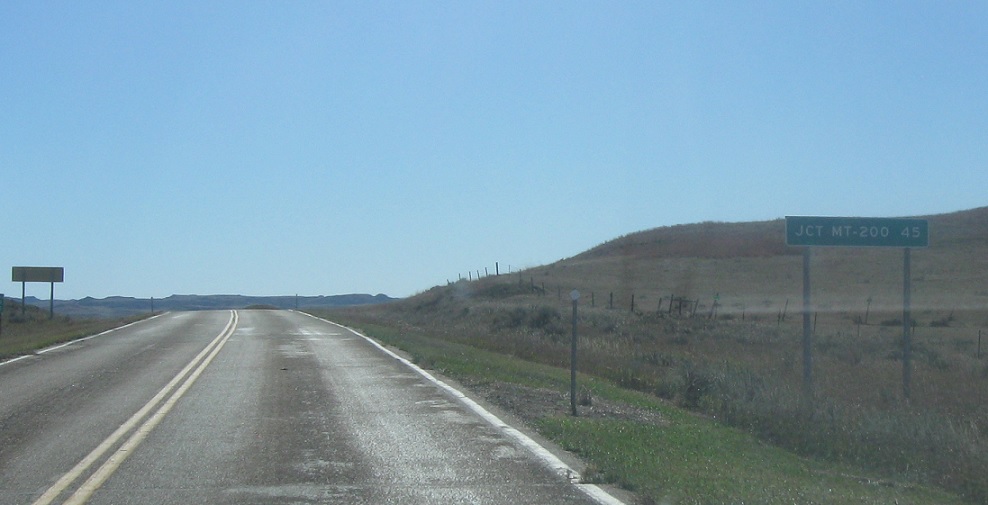
AMP: 45
Location: MT-24 and Hwy 528, McCone Cty
After the turnoff to head towards Secondary 528, we’re 45 miles from Highway 200.
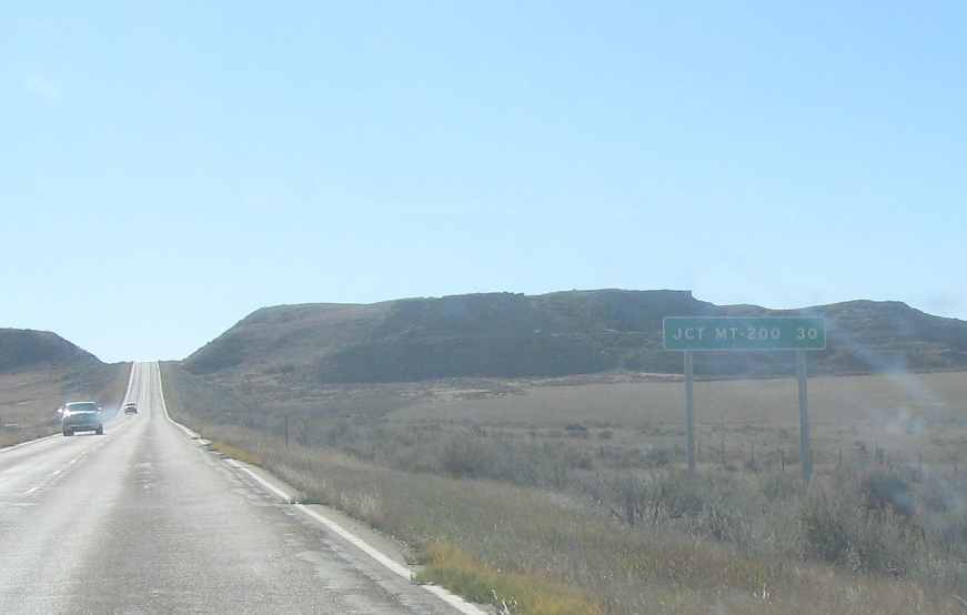
AMP: 30
Location: MT-24 and Rock Creek Rd, McCone Cty
30 miles to Montana 200.
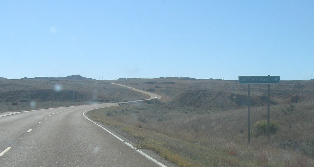
AMP: 15
Location: MT-24 and Nelson Creek Rd, McCone Cty
15 miles to Montana 200. This is really desolate territory.
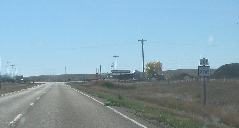
AMP: 0
Location: MT-24 and MT-200, Garfield Cty
15 miles later, we’ll approach Montana 200.
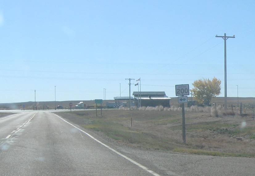
AMP: 0
Location: MT-24 and MT-200, Garfield Cty
Turn right for MT-200 west and left for MT-200 east.
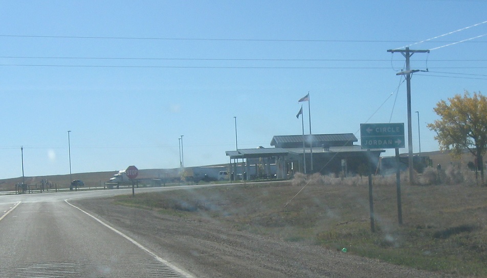
AMP: 0
Location: MT-24 and MT-200, Garfield Cty
Follow 200 west to Jordan and 200 east to Circle. There’s a rest area straight ahead.


