
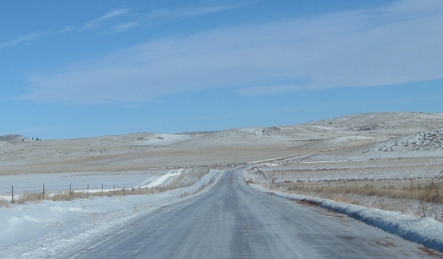
AMP: 52
Location: Tongue River Rd and S-314, Big Horn Cty
Reassurance shield at the beginning of S-566 as I begin to clinch this highly remote 52 mile long unpaved highway in a 2WD vehicle in winter.
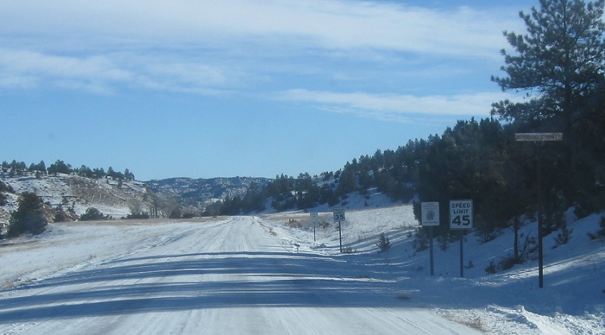
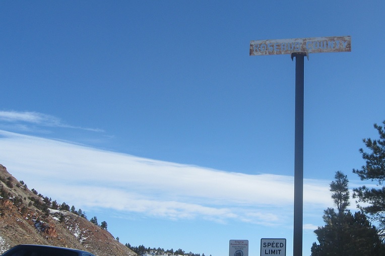
AMP: 41
Location: Tongue River Rd at the Rosebud County Line, Big Horn Cty
On a highway like this, all you can do is appreciate the little things, like this super-cool county line sign.
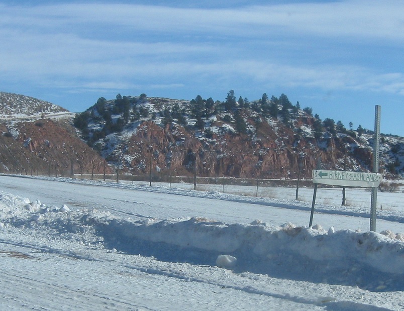
AMP: 27
Location: Tongue River Rd and Private Rd, Rosebud Cty
At the intersection with a private access to a couple houses, keep left for Birney and Ashland.
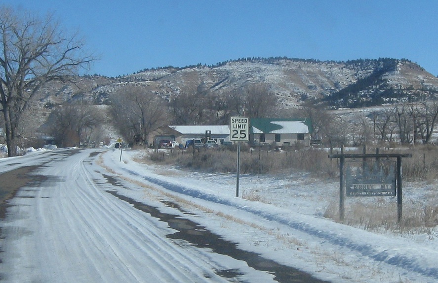
AMP: 24
Location: Tongue River Rd and Hanging Woman Creek Rd, Birney, Rosebud Cty
A little more than halfway down S-566, we’ll approach the little town of Birney, the only sign of civilization in this area.
AMP: 17
Location: Tongue River Rd and BIA 4, Rosebud Cty
A few miles later, we’ll approach the junction with the Northern Cheyenne Indian bridge across the Tongue River that provides a paved access from here to Ashland. The state designated highway stays on the east side of the river, though, so no pavement for us.
AMP: 17
Location: Tongue River Rd and BIA 4, Rosebud Cty
Shockingly, no reassurance shield after the junction.
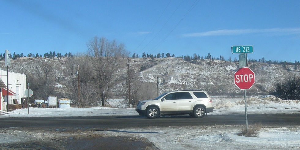
AMP: 0
Location: Tongue River Rd and US-212, Ashland
17 miles later, we’ll approach US-212 on the east side of Ashland. Turn right for 212 east towards Broadus and left for 212 west towards Hardin.

 N to US-212, S to WY-338/WY State Line
