
Location: SH-3 and Mississippi Ave, Atoka
Reassurance shield as 7 ends and we cross US-69/75
Location: SH-3 and Old SH-3, Atoka
Reassurance shield after an old Highway 3 alignment joins the highway.
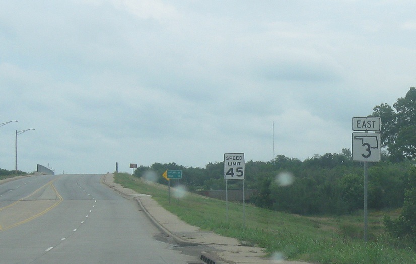
Location: SH-3 and Crestview Rd, Atoka Cty
Reassurance shield as we head out of Atoka.
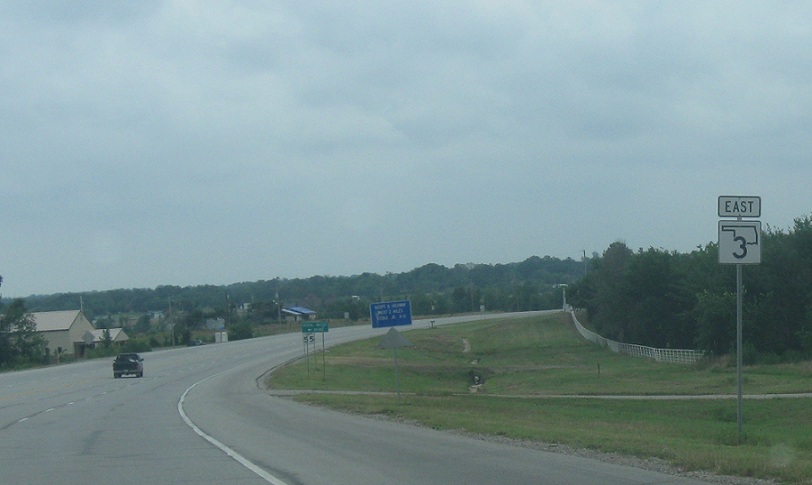
Location: SH-3 and McGee Creek Rd, Atoka Cty
Reassurance shield as we pass the little community of Lane. SH-3 has been rebuilt in this area, but like with many highways in Oklahoma, old alignments are easily visible.
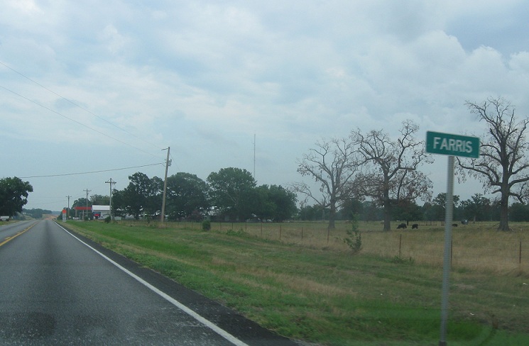
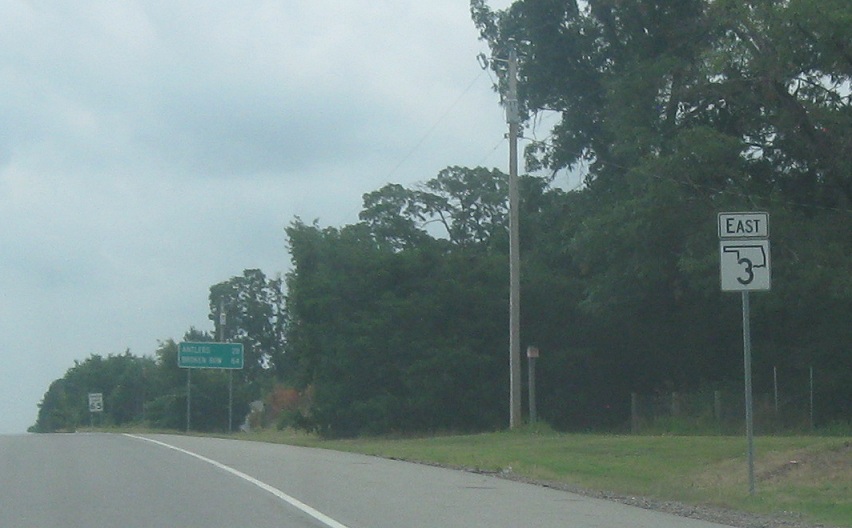
Location: SH-3 and Farris Rd, Farris
A few miles later, we’ll approach the little community of Farris.
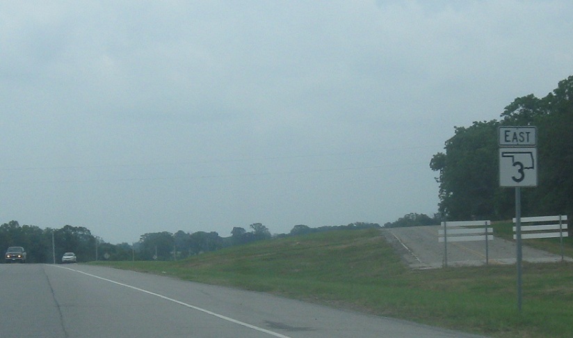
Location: SH-3 and Farris Rd, Atoka Cty
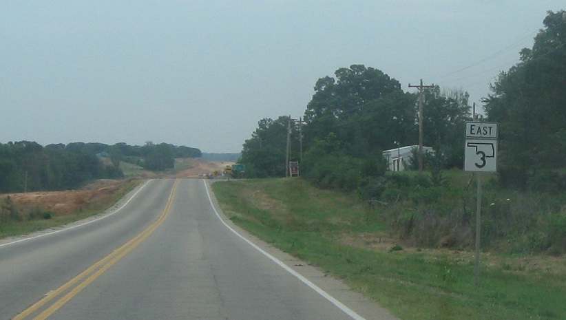
Reassurance shield as we head out of Farris. SH-3 is being rebuilt here.
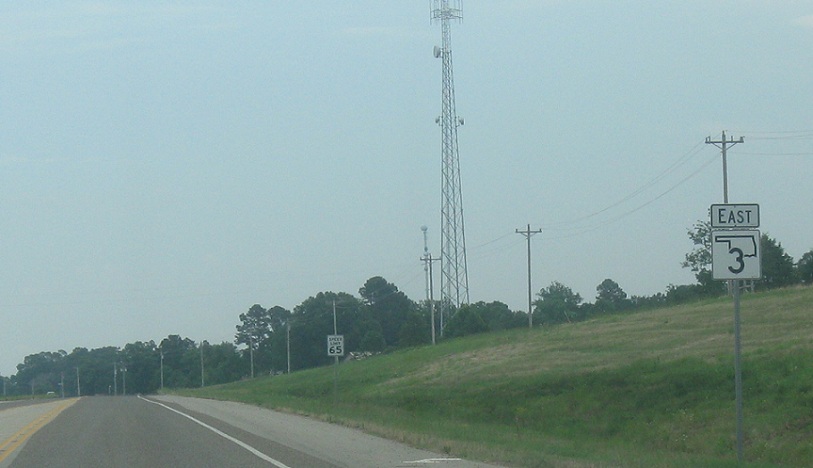
Location: SH-3 and Push County Rd, Pushmataha Cty
Reassurance shield as we enter Pushmataha County.
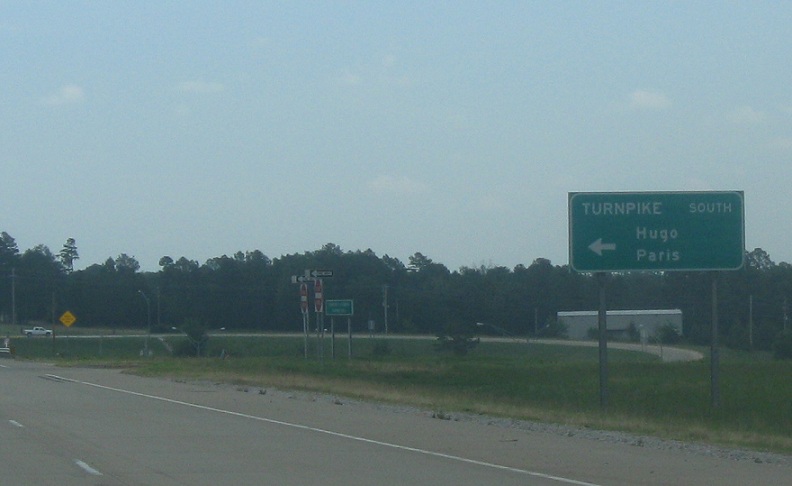
Location: SH-3 and Indian Nation Tpk, Pushmataha Cty
A few miles later as we approach Antlers, we’ll come to a junction with the Indian Nation Turnpike. Follow the southbound turnpike towards Hugo and Paris.
Location: SH-3 and Indian Nation Turnpike, Antlers
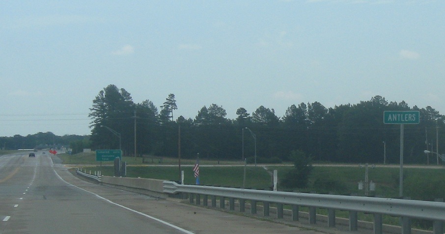
As we cross the turnpike, we’ll enter Antlers.
Location: SH-3 and Indian Nation Tpk, Antlers
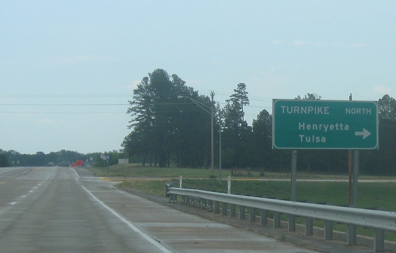
Follow the turnpike north to Henryetta and Tulsa.

 N to SH-43, S to US-70/US-271
 N to US-75, S to OK-22

 W to OK-3
